30 Years of City Growth Seen From Space
China's now-industrialized Pearl River Delta, seen in October 1973 (top) and January 2003 (bottom)
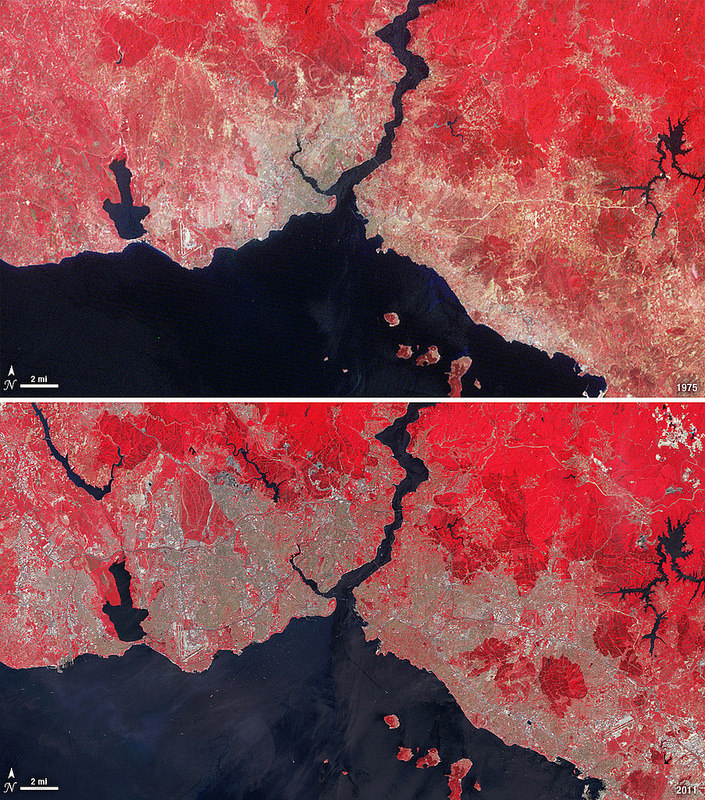
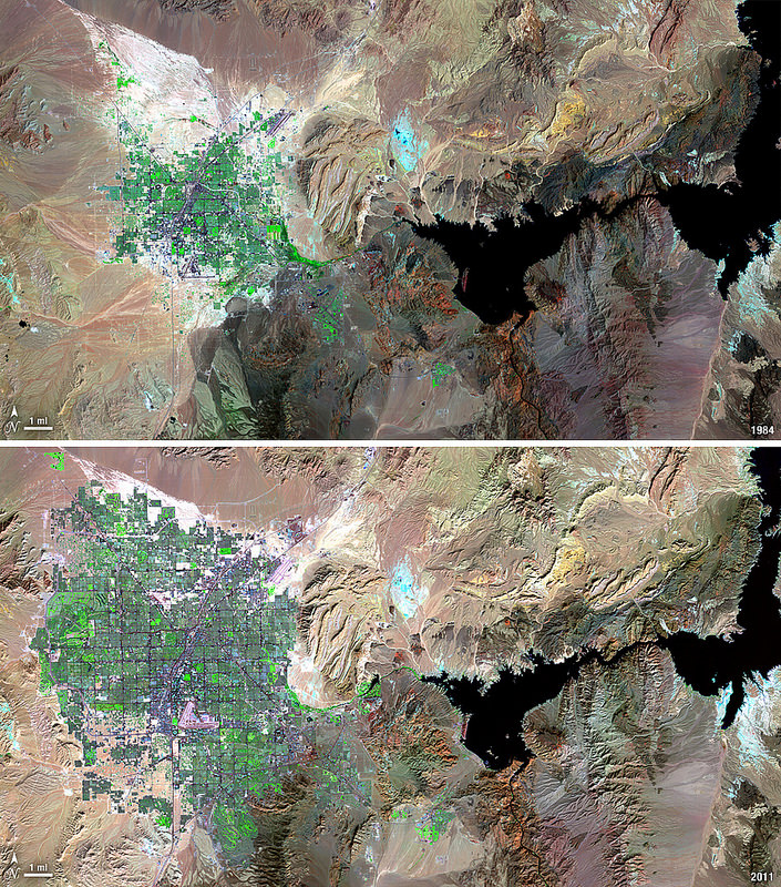
Since the launch of its first satellite in 1972, the eight NASA/USGS Landsat satellites have made the longest continuous observations of Earth’s surface, providing invaluable data for research in agriculture, geology, forestry, regional planning, education, mapping, global change research, as well as important emergency response and disaster relief information. In addition, having such a long span of data allows us to easily see the expansion of human development in many areas — unprecedented before-and-after views of city growth seen from space.
These images, taken over the course of the Landsat program, illustrate the visible impact of over three decades of human development:
See more of these images on NASA Goddard Space Flight Center’s Flickr album here.
The Landsat Program is a series of Earth-observing satellite missions jointly managed by NASA and the U.S. Geological Survey. In 1972, the launch of ERTS-1 (Earth Resources Technology Satellite, later renamed Landsat 1) started the era of a series of satellites that have since continuously acquired space-based land remote sensing data.
The latest satellite in the Landsat series, the Landsat Data Continuity Mission (LDCM) — now named Landsat 8 — was launched on February 11, 2013. Landsat 8 data is now available free to the public online here.
Read more on the USGS Landsat mission page here.
Image credits: USGS/NASA
Recent Posts
Dinkinesh's Moonlet is Only 2-3 Million Years Old
Last November, NASA's Lucy mission conducted a flyby of the asteroid Dinkinish, one of the…
The Universe Could Be Filled With Ultralight Black Holes That Can't Die
Steven Hawking famously calculated that black holes should evaporate, converting into particles and energy over…

Starlink on Mars? NASA Is Paying SpaceX to Look Into the Idea
NASA has given the go-ahead for SpaceX to work out a plan to adapt its…
Did You Hear Webb Found Life on an Exoplanet? Not so Fast…
The JWST is astronomers' best tool for probing exoplanet atmospheres. Its capable instruments can dissect…
Vera Rubin’s Primary Mirror Gets its First Reflective Coating
First light for the Vera Rubin Observatory (VRO) is quickly approaching and the telescope is…
Two Stars in a Binary System are Very Different. It's Because There Used to be Three
A beautiful nebula in the southern hemisphere with a binary star at it's center seems…