Curiosity Mars Rover Back in Action after Power Glitch

NASA's Mars rover Curiosity took this self-portrait, composed of more than 50 images using its robotic arm-mounted MAHLI camera, on Feb. 3, 2013. The image shows Curiosity at the John Klein drill site. A drill hole is visible at bottom left. Credit: NASA / JPL / MSSS / Marco Di Lorenzo / Ken Kremer- kenkremer.com

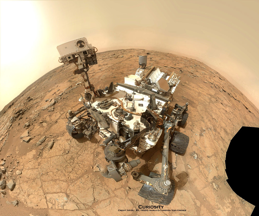
CAPE CANAVERAL, FL – NASA’s car sized Curiosity Mars rover has resumed full science operations and driving following a six day long halt to research activities due to concerns about an electrical power system glitch, which have now been resolved.

On Nov. 17, engineers noticed a fluctuation in voltage on Curiosity that caused the robots handlers to stop science activities and driving towards mysterious Mount Sharp while they searched for the root cause of the electrical issue.

NASA says that the voltage change did not impact the rovers safety or health and the team was acting out of an abundance of caution while investigating the situation from millions of miles away back on Earth.

“The vehicle’s electrical system has a “floating bus” design feature to tolerate a range of voltage differences between the vehicle’s chassis — its mechanical frame — and the 32-volt power lines that deliver electricity throughout the rover. This protects the rover from electrical shorts,” NASA said in a statement.

Curiosity’s voltage level had been about 11 volts since landing day and had declined to about 4 volts on Nov. 17. The electrical issue did not trigger the rover to enter a safe-mode status.

Curiosity scans the Martian landscape to the distant rim of Gale Crater landing site on Sol 463, November 2013.  Credit: NASA / JPL / MSSS / Marco Di Lorenzo / Ken Kremer- kenkremer.com
Curiosity scans the Martian landscape to the distant rim of Gale Crater landing site on Sol 463, November 2013. Credit: NASA / JPL / MSSS / Marco Di Lorenzo / Ken Kremer- kenkremer.com

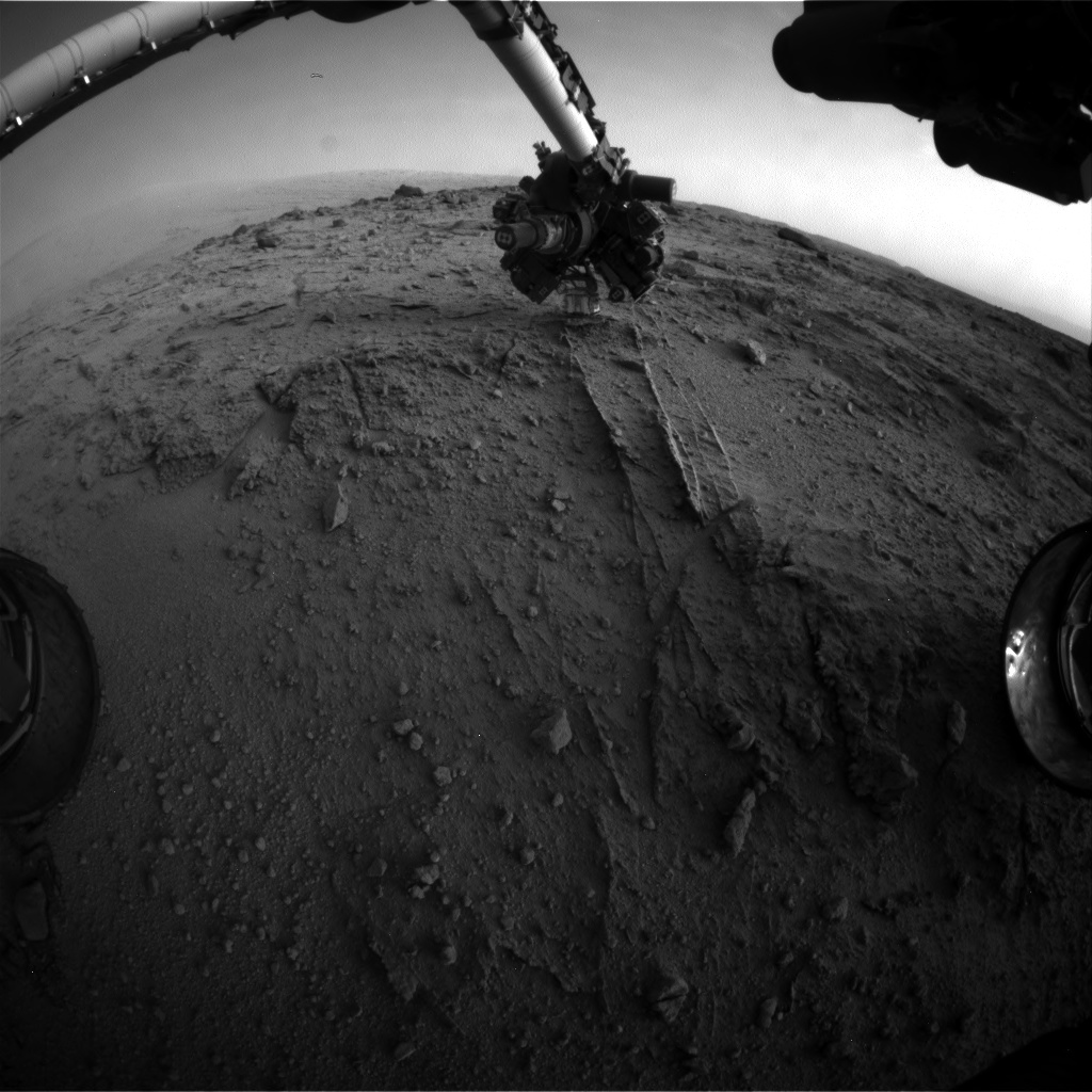
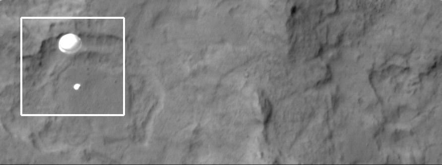
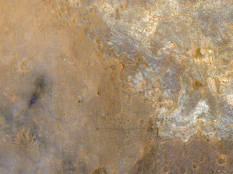
Engineers amassed a list of possible causes for the voltage change while suspending science operations and roving across the Martian crater floor where Curiosity landed nearly a year and a half ago in August 2012.

“We made a list of potential causes, and then determined which we could cross off the list, one by one,” said rover electrical engineer Rob Zimmerman of NASA’s Jet Propulsion Laboratory, Pasadena, Calif.

NASA says that the likely cause is an internal short stemming from the Radioisotope Thermoelectric Generator (RTG) – the rovers nuclear power source.

RTG’s have been commonly used on many NASA missions that also experienced occasional shorts and that had no long term impact or loss of capability on their flights.

“This type of intermittent short has been seen in similar RTGs, including the one on the Cassini spacecraft, which has been orbiting Saturn for years. The rover electronics are designed to operate at variable power supply voltages, so this is not a major problem,” says Curiosity team member Ken Herkenhoff of the USGS in a mission update.

The voltage level had returned its normal level of 11 volts on its own by Nov. 23, when the team had decided to resume science operations.

So it is possible that the same type of intermittent voltage change could recur in the future.

Meanwhile the rover has resumed her epic trek to Mount Sharp and is expected to arrive at the base of the mountain sometime in mid-2014.

Curiosity Spies Mount Sharp – her primary destination. Curiosity will ascend mysterious Mount Sharp and investigate the sedimentary layers searching for clues to the history and habitability o the Red Planet of billions of years. This mosaic was assembled from Mastcam camera images taken on Sol 352 (Aug 2, 2013). Credit: NASA/JPL-Caltech/MSSS/ Marco Di Lorenzo/Ken Kremer

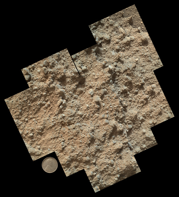
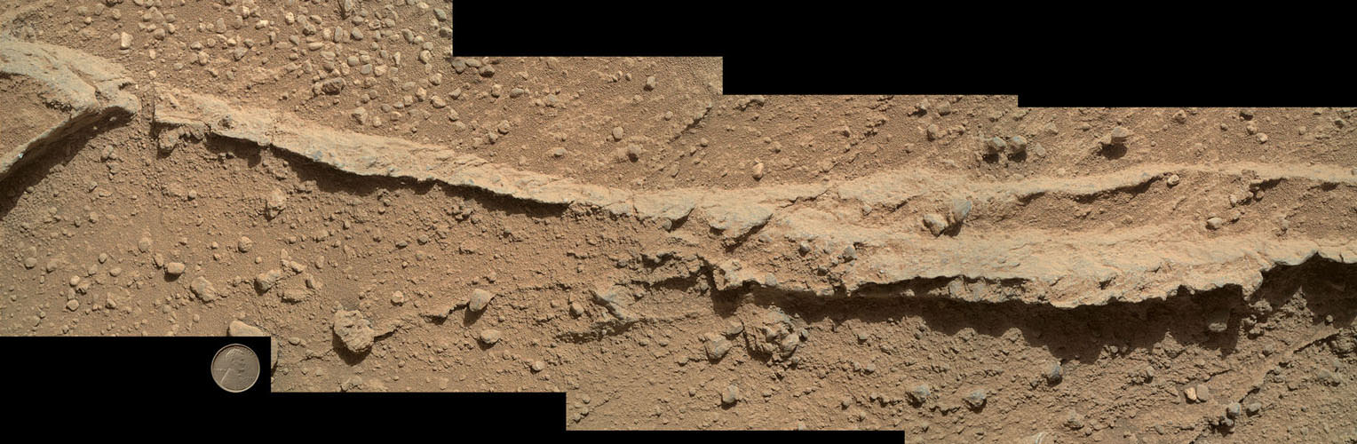
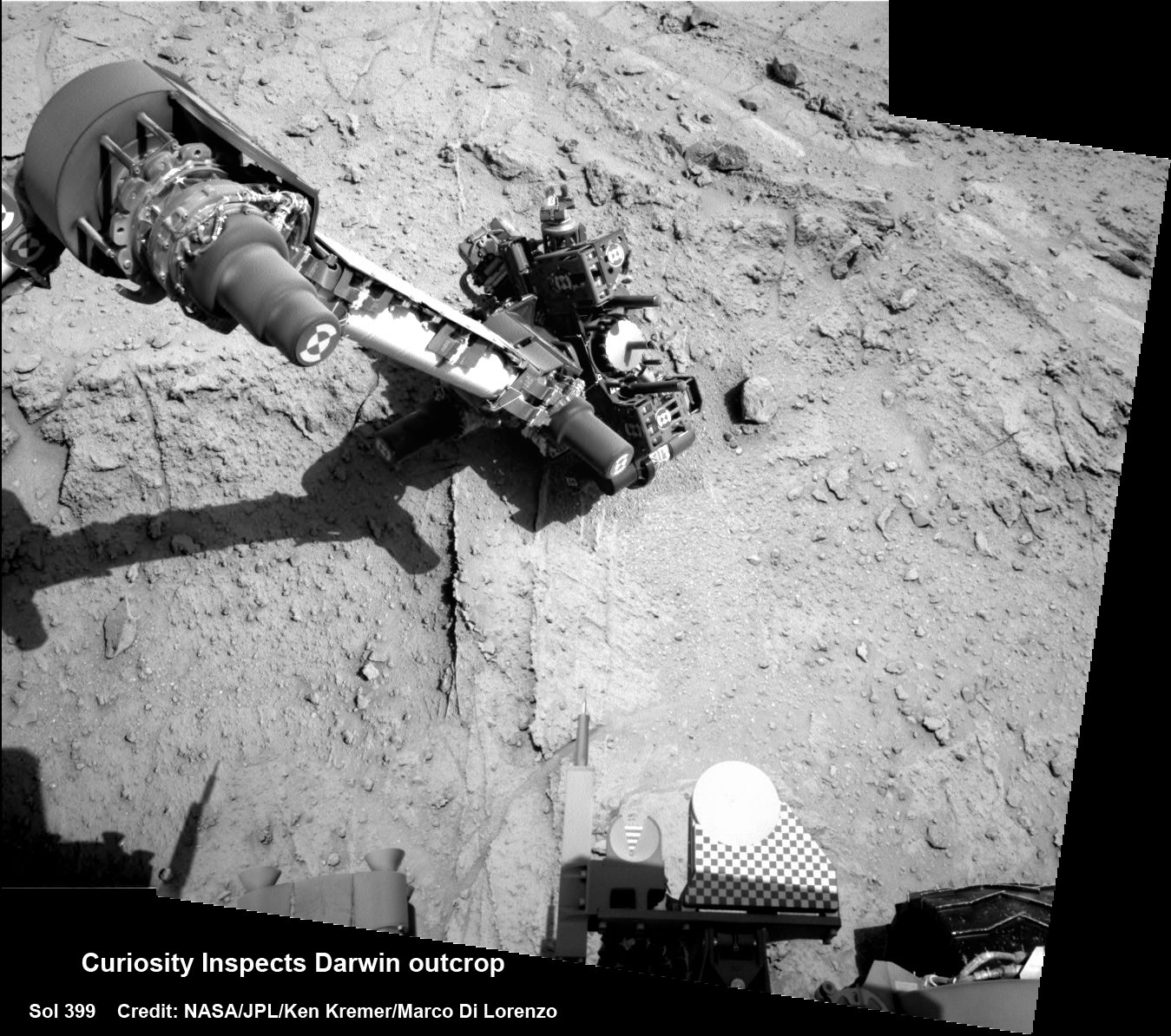
This past weekend, the robot delivered additional portions of powdered rock to the CheMin and SAM labs inside the rover. The sample was collected 6 months ago after drilling into a rock nicknamed “Cumberland” and will supplement prior measurements.

Curiosity has already accomplished her primary science goal of discovering a habitable zone at her landing site.

Scientists expect to broaden the region of Martian habitability once the 1 ton robot begins the ascent of Mount Sharp to investigate the sedimentary layers in the lower reaches of the towering 3 mile (5 km) high mountain, that record Mars geologic and climatic history over a time span of billions of years.

Curiosity looks to the base of Mount Sharp and the Murray buttes - her ultimate climbing destination - in this mosaic assembled from of navcam camera images from Sol 465, November 2013.  Credit: NASA / JPL / MSSS / Marco Di Lorenzo / Ken Kremer- kenkremer.com
Curiosity looks to the base of Mount Sharp and the Murray buttes – her ultimate climbing destination – in this mosaic assembled from navcam camera images from Sol 465, November 2013. Credit: NASA / JPL / MSSS / Marco Di Lorenzo / Ken Kremer- kenkremer.com

And as both of NASA’s rovers Curiosity and Opportunity ascend Martian mountains, they’ll be joined next September 2014 by a pair of new Martian orbiters from the US and India – MAVEN and MOM – that will significantly expand Earth’s invasion force at the Red Planet.

Stay tuned here for continuing Mars rover, MOM and MAVEN news and Ken’s MAVEN and SpaceX Falcon 9 launch reports from on site at the Kennedy Space Center press center and Cape Canaveral Air Force Station, Florida.

Ken Kremer

MAVEN thunders to Space on Journey to Study Red Planet’s Watery History and Potential for Life

NASA’s Mars bound MAVEN spacecraft launches atop Atlas V booster at 1:28 p.m. EST from Space Launch Complex 41 at Cape Canaveral Air Force Station on Nov. 18, 2013. Image taken from the roof of the Vehicle Assembly Building (VAB) at NASA’s Kennedy Space Center. Credit: Ken Kremer/kenkremer.com

KENNEDY SPACE CENTER, FL – NASA’s Mars Atmosphere and Volatile Evolution (MAVEN) space probe thundered to space today (Nov. 18) following a flawless blastoff from Cape Canaveral Air Force Station’s Space Launch Complex 41 at 1:28 p.m. EST atop a powerful Atlas V rocket.

“Hey Guys we’re going to Mars!” gushed Bruce Jakosky, MAVEN’s Principal Investigator at a post launch briefing for reporters.

“Now I am a Martian,” beamed Jakosky gleefully, as well as is everyone else who has worked on MAVEN since the project was conceived some ten years ago, he noted.

Today’s countdown was absolutely perfect culminating in a spectacular and on time lift off that rumbled across the Florida Space Coast to the delight of cheering crowds assembled for the historic launch aimed at discovering the history of water and habitability stretching back over billions of years on Mars.

“I take great pride in the entire team,” said Jakosky.

“Everyone was absolutely committed to making this work.”

MAVEN launches atop Atlas V booster on Nov. 18, 2013 from NASA’s Kennedy Space Center, Florida.  Credit: Mike Killian/mikekillianphotography.com
MAVEN launches atop Atlas V booster on Nov. 18, 2013 from NASA’s Kennedy Space Center, Florida. Credit: Mike Killian/mikekillianphotography.com

The $671 Million MAVEN spacecraft separated from the Atlas Centaur upper stage some 52 minutes after liftoff, unfurled its wing like solar panels to produce life giving power and thus began a 10 month interplanetary voyage to the Red Planet.

“We’re currently about 14,000 miles away from Earth and heading out to the Red Planet right now,” said MAVEN Project Manager David Mitchell of NASA’s Goddard Space Flight Center at the briefing, after the 5,400-pound spacecraft had been soaring through space for barely two and a half hours.

“The first trajectory correction maneuver (TCM) is set for Dec. 3,” added Mitchell. There are a minimum of four TCM’s to ensure that the majestic probe remains precisely on course for Mars.

“Safe travels MAVEN!” said Mitchell. “We’re with you all the way.”

NASA’s Mars bound MAVEN spacecraft launches atop Atlas V booster at 1:28 p.m. EST from Space Launch Complex 41 at Cape Canaveral Air Force Station on Nov. 18, 2013. Image taken from the roof of the Vehicle Assembly Building (VAB) at NASA’s Kennedy Space Center.  Credit: Ken Kremer/kenkremer.com
NASA’s Mars bound MAVEN spacecraft launches atop Atlas V booster at 1:28 p.m. EST from Space Launch Complex 41 at Cape Canaveral Air Force Station on Nov. 18, 2013. Image taken from the roof of the Vehicle Assembly Building (VAB) at NASA’s Kennedy Space Center. Credit: Ken Kremer/kenkremer.com

It will take the spacecraft 10 months to reach the Red Planet, with arrival scheduled for Sept. 22, 2014.

Jakosky noted that while the launch is a big milestone, it’s just the beginning.

MAVEN’s purpose is to accomplish world class science after arriving at Mars and completing a check-out period before it can finally begin collecting science data.

MAVEN will answer key questions about the evolution of Mars, its geology and the potential for the evolution of life.

“MAVEN is an astrobiology mission,” says Jakosky.

Mars was once wet billions of years ago, but no longer. Now it’s a cold arid world, not exactly hospitable to life.

“We want to determine what were the drivers of that change?” said Jakosky. “What is the history of Martian habitability, climate change and the potential for life?”

MAVEN will study Mars upper atmosphere to explore how the Red Planet may have lost its atmosphere over billions of years. It will measure current rates of atmospheric loss to determine how and when Mars lost its atmosphere and water.

The MAVEN probe carries nine sensors in three instrument suites.

The Particles and Fields Package, provided by the University of California at Berkeley with support from CU/LASP and NASA’s Goddard Space Flight Center in Greenbelt, Md., contains six instruments to characterize the solar wind and the ionosphere of Mars. The Remote Sensing Package, built by CU/LASP, will determine global characteristics of the upper atmosphere and ionosphere. The Neutral Gas and Ion Mass Spectrometer, built by Goddard, will measure the composition of Mars’ upper atmosphere.

“We need to know everything we can before we can send people to Mars,” said Dr. Jim Green, NASA’s Director of Planetary Science at NASA HQ in Washington, DC.

“MAVEN is a key step along the way. And the team did it under budget!” Green elaborated. “It is so exciting!”

Dr. Jim Green (4th from left), NASA’s Director of Planetary Science poses with space journalists and photographers covering the Nov. 18 MAVEN launch at the Kennedy Space Center, including Ken Kremer (left) from Universe Today/RocketSTEM Media Foundation.  Credit: Alan Walters/awaltersohoto.com
Dr. Jim Green (5th from left), NASA’s Director of Planetary Science, poses with MAVEN spacecraft model and space journalists and photographers covering the Nov. 18 MAVEN launch at the Kennedy Space Center – including Ken Kremer (left) from Universe Today/RocketSTEM Media Foundation. Credit: Alan Walters/awaltersohoto.com

Over the course of its one-Earth-year primary mission, MAVEN will observe all of Mars’ latitudes at altitudes ranging from 93 miles to more than 3,800 miles.

MAVEN will execute five deep dip maneuvers during the first year, descending to an altitude of 78 miles. This marks the lower boundary of the planet’s upper atmosphere.

Stay tuned here for continuing MAVEN and MOM news and Ken’s MAVEN launch reports from on site at the Kennedy Space Center press site.

Ken Kremer

…………….

Learn more about MAVEN, MOM, Mars rovers, Orion and more at Ken’s upcoming presentations

Nov 18-21: “MAVEN Mars Launch and Curiosity Explores Mars, Orion and NASA’s Future”, Kennedy Space Center Quality Inn, Titusville, FL, 8 PM

Dec 11: “Curiosity, MAVEN and the Search for Life on Mars”, “LADEE & Antares ISS Launches from Virginia”, Rittenhouse Astronomical Society, Franklin Institute, Phila, PA, 8 PM

A Guided Aerial Tour of Curiosity’s Journey So Far on Mars

This scene shows the "Murray Ridge" portion of the western rim of Endeavour Crater on Mars. The ridge is the NASA's Mars Exploration Rover Opportunity's work area for the rover's sixth Martian winter. Image Credit: NASA/JPL-Caltech/Cornell/ASU

Just where has the Curiosity rover traveled so far and where is it going? This new video, narrated by John Grotzinger, the principal investigator for the Mars Science Laboratory mission, provides an aerial tour of the rover’s past, present and future traverses on the Red Planet.

Curosity landed in a flat, “hummocky” area in Gale Crater and is heading towards the Aeolis Mons, also known as Mount Sharp, a mountain 5 kilometers (3 miles) high. Right now the rover is among a cluster of small, steep-sided knobs, or buttes that are quite large — up to about the size of a football field and the height of a goal post. They sit in a gap in a band of dark sand dunes that lie at the foot of the mountain. Deep sand could present a hazard for driving, so this break in the dunes is the access path to the mountain.
These buttes have been named the Murray Buttes in honor of influential planetary scientist Bruce Murray (1931-2013).

“Bruce Murray contributed both scientific insight and leadership that laid the groundwork for interplanetary missions such as robotic missions to Mars, including the Mars rovers, part of America’s inspirational accomplishments,” said NASA Mars Exploration Program Manager Fuk Li from JPL. “It is fitting that the rover teams have chosen his name for significant landmarks on their expeditions.”

Meanwhile at Endeavour Crater, where the Opportunity is still exploring, nearly a decade on, and is now preparing for winter. A feature there has also been named for Bruce Murray, Murray Ridge, part of an uplifted crater rim.

“Murray Ridge is the highest hill we’ve ever tried to climb with Opportunity,” said the mission’s principal investigator, Steve Squyres of Cornell University, Ithaca, N.Y. The ridge has outcrops with clay minerals detected from orbit. It also provides a favorable slope for Martian winter sunshine to hit the rover’s solar panels, an advantage for keeping Opportunity mobile through the winter.

“Bruce Murray is best known for having been the director of JPL, and JPL is where our rovers were built,” Squyres said. “He led JPL during a time when the planetary exploration budget was under pressure and the future for planetary missions was not clear. His leadership brought us through that period with a strong exploration program. He was also a towering figure in Mars research. His papers are still cited abundantly today.”

Back to the video, interestingly, the “fly-through” data comes from a variety of missions representing some of the history of Mars exploration. Doug Ellison, who works with JPL’s Eyes on the Solar System – which uses spacecraft data to create realistic simulated views of spacecraft, planets and other features within our solar system – said on Twitter that the video uses data from Viking to narrow down the color, Mars Express High Resolution Stereo Camera (MEX-HRSC_ and the Mars Reconnassaince Oribiter’s HiRISE camera for topography, and the MRO Context camera (MRO-CTX) and HiRISE for imagery.

Source: JPL

Curiosity Discovers Patch of Pebbles Formed by Flowing Martian Water on Mount Sharp Trek

NASA's Mars rover Curiosity used a new technique, with added autonomy for the rover, in placement of the tool-bearing turret on its robotic arm during the 399th Martian day, or sol, of the mission. This image from the rover's front Hazard Avoidance Camera (Hazcam) on that sol shows the position of the turret during that process, with the Alpha Particle X-ray Spectrometer (APXS) instrument placed close to the target rock. Credit: NASA/JPL-Caltech

NASA’s Curiosity rover has discovered a new patch of pebbles formed and rounded eons ago by flowing liquid water on the Red Planet’s surface along the route she is trekking across to reach the base of Mount Sharp – the primary destination of her landmark mission.

Curiosity made the new finding at a sandstone outcrop called ‘Darwin’ during a brief science stopover spot called ‘Waypoint 1’.

Before arriving at Waypoint 1, the question was- “Did life giving water once flow here on the Red Planet?

The answer now is clearly ‘Yes!’ – And it demonstrates the teams wisdom in pausing to inspect ‘Darwin’.

The discovery at Darwin is significant because it significantly broadens the area here that was altered by flowing liquid water.

This mosaic of nine images, taken by the Mars Hand Lens Imager (MAHLI) camera on NASA's Mars rover Curiosity, shows detailed texture in a conglomerate rock bearing small pebbles and sand-size particles. Credit: NASA/JPL-Caltech/MSSS
This mosaic of nine images, taken by the Mars Hand Lens Imager (MAHLI) camera on NASA’s Mars rover Curiosity, shows detailed texture in a conglomerate rock bearing small pebbles and sand-size particles. Credit: NASA/JPL-Caltech/MSSS

The presence of water is an essential prerequisite for the formation and evolution of life.

Curiosity has arrived at Waypoint 1,” project scientist John Grotzinger, of the California Institute of Technology in Pasadena, told Universe Today at the time.

The robot pulled into ‘Waypoint 1’ on Sept. 12 (Sol 392).

“It’s a chance to study outcrops along the way,” Grotzinger told me.

This mosaic of four images taken by the Mars Hand Lens Imager (MAHLI) camera on NASA's Mars rover Curiosity shows detailed texture in a ridge that stands higher than surrounding rock. The rock is at a location called "Darwin," inside Gale Crater. Exposed outcrop at this location, visible in images from the High Resolution Imaging Science Experment (HiRISE) camera on NASA's Mars Reconnaissance Orbiter, prompted Curiosity's science team to select it as the mission's first waypoint for several days during the mission's long trek from the "Glenelg" area to Mount Sharp. Image Credit: NASA/JPL-Caltech/MSSS
This mosaic of four images taken by the Mars Hand Lens Imager (MAHLI) camera on NASA’s Mars rover Curiosity shows detailed texture in a ridge that stands higher than surrounding rock. The rock is at a location called “Darwin,” inside Gale Crater. Exposed outcrop at this location, visible in images from the High Resolution Imaging Science Experment (HiRISE) camera on NASA’s Mars Reconnaissance Orbiter, prompted Curiosity’s science team to select it as the mission’s first waypoint for several days during the mission’s long trek from the “Glenelg” area to Mount Sharp. Image Credit: NASA/JPL-Caltech/MSSS

The six wheeled rover is in the initial stages of what is sure to be an epic trek across the floor of her landing site inside the nearly 100 mile wide Gale Crater – that is dominated by humongous Mount Sharp that reaches over 3 miles (5 Kilometers) into the red Martian Sky.

“We examined pebbly sandstone deposited by water flowing over the surface, and veins or fractures in the rock,” said Dawn Sumner of University of California, Davis, a Curiosity science team member with a leadership role in planning the stop, in a NASA statement about Darwin and Waypoint 1.

“We know the veins are younger than the sandstone because they cut through it, but they appear to be filled with grains like the sandstone.”

Curiosity deploys robot arm to investigate the ‘Darwin’ rock outcrop up close at ‘Waypoint 1’ on Sept 20 (Sol 399). This photo mosaic was assembled from navcam images taken on Sept 20, 2013.   Credit: NASA/JPL-Caltech/Ken Kremer/Marco Di Lorenzo
Curiosity deploys robot arm to investigate the ‘Darwin’ rock outcrop up close at ‘Waypoint 1’ on Sept 20 (Sol 399). This photo mosaic was assembled from navcam images taken on Sept 20, 2013. Credit: NASA/JPL-Caltech/Ken Kremer/Marco Di Lorenzo

Waypoint 1 is the first of up to five waypoint stops planned along the roving route that stretches about 5.3 miles (8.6 kilometers) between the “Glenelg” area, where Curiosity worked for more than six months through the first half of 2013, and the currently planned entry point at the base of Mount Sharp.

To date, the robot has now driven nearly 20% of the way towards the base of the giant layered Martian mountain she will eventually scale in search of life’s ingredients.

“Darwin is named after a geologic formation of rocks from Antarctica,” Grotzinger informed Universe Today.

‘Waypoint 1’ was an area of intriguing outcrops that was chosen based on high resolution orbital imagery taken by NASA’s Mars Reconnaissance Orbiter (MRO) circling some 200 miles overhead.

Investigation of the conglomerate rock outcrop dubbed ‘Darwin’ was the top priority of the Waypoint 1 stop.

The finding of a cache of watery mineral veins was a big added science bonus that actually indicates a more complicated story in Mars past – to the delight of the science team.

“We want to understand the history of water in Gale Crater,” Sumner said.

“Did the water flow that deposited the pebbly sandstone at Waypoint 1 occur at about the same time as the water flow at Yellowknife Bay? If the same fluid flow produced the veins here and the veins at Yellowknife Bay, you would expect the veins to have the same composition.’

“We see that the veins are different, so we know the history is complicated. We use these observations to piece together the long-term history.”

The Rover inspected Darwin from two different positions over 4 days, or Martian Sols and conducted ‘contact science’ by deploying the robotic arm and engaging the science instrument camera and spectrometer mounted on the turret at the arms terminus.

The Alpha Particle X-ray Spectrometer (APXS) collected spectral measurements of the elemental chemistry and the Mars Hand Lens Imager is a camera showing the outcrops textures, shapes and colors.

Curiosity investigates the ‘Darwin’ rock outcrop up close after arriving for a short stay at ‘Waypoint 1’ on Sept 12 (Sol 392). This photo mosaic was assembled from navcam images taken on Sept 12, 2013.   Credit: NASA/JPL-Caltech/Ken Kremer/Marco Di Lorenzo
Curiosity investigates the ‘Darwin’ rock outcrop up close after arriving for a short stay at ‘Waypoint 1’ on Sept 12 (Sol 392). This photo mosaic was assembled from navcam images taken on Sept 12, 2013. Credit: NASA/JPL-Caltech/Ken Kremer/Marco Di Lorenzo

What’s the origin of Darwin’s name?

“Darwin comes from a list of 100 names the team put together to designate rocks in the Mawson Quadrangle – Mawson is the name of a geologist who studied Antarctic geology,” Grotzinger told me.

“We’ll stay just a couple of sols at Waypoint 1 and then we hit the road again,” Grotzinger told me.

And indeed on Sept. 22, the rover departed Darwin and Waypoint 1 on a westward heading to resume the many months long journey to Mount Sharp.

Ken Kremer

…………….

Learn more about Curiosity, Mars rovers, MAVEN, Orion, Cygnus, Antares, LADEE and more at Ken’s upcoming presentations

Oct 3: “Curiosity, MAVEN and the Search for Life on Mars – (3-D)”, STAR Astronomy Club, Brookdale Community College & Monmouth Museum, Lincroft, NJ, 8 PM

Oct 8: NASA’s Historic LADEE Lunar & Antares/Cygnus ISS Rocket Launches from Virginia”; Princeton University, Amateur Astronomers Assoc of Princeton (AAAP), Princeton, NJ, 8 PM

Moon Dance: Curiosity Rover Captures Movie of Phobos and Deimos Together

This image was taken by the Curiosity rover's right Mastcamy on Sol 351 (2013-08-01 08:44:11 UTC). Image Credit: NASA/JPL-Caltech/MSSS.

Sol 351 for the Curiosity rover on Mars was a marvelous night for a moon dance. The Mars Science Laboratory rover caught sight of Mars’ two moons, Phobos and Deimos together in the sky. And not just one image was captured: the rover’s Mast Camera captured a series of 41 images to allow the MSL team to create this timelapse movie of the dance, where the smaller moon Diemos is occulted by Phobos.

To our knowledge, this the first time the two moons have been seen together in any image from the surface of Mars, let alone a sequence of images. The Mars Express spacecraft took images of the moons together in 2009 from orbit.

The movie from MSL takes just a few seconds to watch, but the team said the real time it took to shoot the 41 images was 55 seconds.

Sol 351 equates to August 1, 2013 here on Earth.

See a raw still shot below:

Update: JPL has now put out a press release about the movie, confirming that no previous images from missions on the surface has caught one moon eclipsing the other.

They also said there was a slight delay in getting these images from the rover, as there were higher-priority images in the queue that were to be used for planning the rover’s drives.

Scientists know that the orbit of Phobos is very slowly getting closer to Mars, while the orbit of Deimos may be slowly getting farther from the planet. These observations of Phobos and Deimos help researchers make knowledge of the moons’ orbits even more precise.

“The ultimate goal is to improve orbit knowledge enough that we can improve the measurement of the tides Phobos raises on the Martian solid surface, giving knowledge of the Martian interior,” said Mark Lemmon of Texas A&M University, College Station, a co-investigator for use of Curiosity’s Mastcam. “We may also get data good enough to detect density variations within Phobos and to determine if Deimos’ orbit is systematically changing.”

There’s also this nice graphic comparing our Moon to Phobos and Deimos:

his illustration provides a comparison for how big the moons of Mars appear to be, as seen from the surface of Mars, in relation to the size that Earth's moon appears to be when seen from the surface of Earth. Earth's moon actually has a diameter more than 100 times greater than the larger Martian moon, Phobos. However, the Martian moons orbit much closer to their planet than the distance between Earth and Earth's moon. Credit: NASA/JPL-Caltech/Malin Space Science Systems/Texas A&M Univ.
his illustration provides a comparison for how big the moons of Mars appear to be, as seen from the surface of Mars, in relation to the size that Earth’s moon appears to be when seen from the surface of Earth. Earth’s moon actually has a diameter more than 100 times greater than the larger Martian moon, Phobos. However, the Martian moons orbit much closer to their planet than the distance between Earth and Earth’s moon. Credit: NASA/JPL-Caltech/Malin Space Science Systems/Texas A&M Univ.

Although Phobos has a diameter less than one percent the diameter of Earth’s Moon, Phobos also orbits much closer to Mars than our moon’s distance from Earth. As seen from the surface of Mars, Phobos looks about half as wide as what Earth’s moon looks like to viewers on Earth.

Nice work Curiosity and team!

Watch Live: Celebrating One Year on Mars with Curiosity

Curiosity accomplished Historic 1st drilling into Martian rock at John Klein outcrop on Feb 8, 2013 (Sol 182), shown in this context mosaic view of the Yellowknife Bay basin taken on Jan. 26 (Sol 169). The robotic arm is pressing down on the surface at John Klein outcrop of veined hydrated minerals – dramatically back dropped with her ultimate destination; Mount Sharp. Credit: NASA/JPL-Caltech/Ken Kremer/Marco Di Lorenzo

NASA and the Jet Propulsion Laboratory are hosting a live webcast on Tuesday, August 6 starting at 14:45 UTC (10:45 a.m. EDT) to celebrate the one year anniversary of the Curiosity rover landing on Mars. Update: We’ve now inserted the replay from NASA TV, and it’s a great recap of the excitement of landing and the discoveries of past year, and you’ll hear from all the major science and engineering names from the MSL mission.

You can ask questions for the team on Twitter and G+ during the broadcast, just use #AskNASA to pose your question.

Curiosity team members will share remembrances about the dramatic landing night and the overall mission. Immediately following that program, NASA will carry a live public event from NASA Headquarters in Washington. That event will feature NASA officials and crew members aboard the International Space Station as they observe the rover anniversary and discuss how its activities and other robotic projects are helping prepare for a human mission to Mars and an asteroid.

Also, below, is the replay of events held at NASA HQ to celebrate the anniversary:

See the Curiosity Mars Panorama on Permanent Display at the US National Mall

A mosaic by the Mars Science Laboratory Curiosity rover, assembled by Ken Kremer and Marco Di Lorenzo is now part of the permanent Solar System Exhibit outside the National Air and Space Museum on the US National Mall in Washington, D.C. Image courtesy Ken Kremer.

Congratulations to Universe Today writer Ken Kremer and his partner in image editing, Marco Di Lorenzo, who have had one of the panoramas they created from the Curiosity rover’s imagery included in a permanent Solar System exhibit outside the National Air and Space Museum on the US National Mall in Washington, D.C. The exhibit is called “Voyage” and was created by the National Center for Earth and Space Science Education (NCESSE) and is sponsored in part by NASA.

Ken said the NCESSE contacted him a few months ago back to use the mosaic — from Sol 169 of Curiosity’s time on Mars — and the project is finally complete. “They liked and chose it because it evokes a human presence on Mars with the rover in the foreground,” Ken said.

The exhibit is a one to 10-billion scale model of our Solar System—spanning 600 meters (6,000 feet) from the National Air and Space Museum to the Smithsonian Castle Building, and Ken and Marco’s image from the Curiosity rover is part of the information about Mars.

Here’s a description of the exhibit from NCESSE website:

“The Voyage exhibition on the National Mall, installed in 2001, was created through a partnership between Challenger Center for Space Science Education, the Smithsonian Institution, and NASA. A summer 2013 update of this exhibition’s content was undertaken by the National Center for Earth and Space Science Education and the Smithsonian Institution, through a grant from the District of Columbia Space Grant Consortium. To learn more, and view photo albums of all Voyage exhibitions, visit the Voyage National Program page.”

Here’s a closeup of Ken and Marco’s mosaic:

Close up of the Mars placard for the Voyager Solar System exhibit. Image courtesy of Ken Kremer.

And a full view of the image is below.

You can learn more about the exhibit at the NCESSE Voyage webpage. Again, congratulations to Ken and Marco!

Curiosity accomplished Historic 1st drilling into Martian rock at John Klein outcrop on Feb 8, 2013 (Sol 182), shown in this context mosaic view of the Yellowknife Bay basin taken on Jan. 26 (Sol 169). The robotic arm is pressing down on the surface at John Klein outcrop of veined hydrated minerals - dramatically back dropped with  her ultimate destination; Mount Sharp.  Credit: NASA/JPL-Caltech/Ken Kremer/Marco Di Lorenzo
Curiosity accomplished Historic 1st drilling into Martian rock at John Klein outcrop on Feb 8, 2013 (Sol 182), shown in this context mosaic view of the Yellowknife Bay basin taken on Jan. 26 (Sol 169). The robotic arm is pressing down on the surface at John Klein outcrop of veined hydrated minerals – dramatically back dropped with her ultimate destination; Mount Sharp. Credit: NASA/JPL-Caltech/Ken Kremer/Marco Di Lorenzo

Watch the Curiosity Rover’s First Year on Mars in Two Minutes

The HiRISE Camera on the Mars Reconnaissance Orbiter captured the Curiosity rover descending on its parachute to land on Mars. Credit: NASA/JPL/Arizona State University.

Whew — the past year flew by fast! Can you believe it’s almost been a year already since the Mars Science Laboratory rover Curiosity thrilled the world with its nail-biting, sky-craning, engineer-high-fiving landing on Mars on August 6, 2012? Now for something even faster, here you can see what Curiosity has done since landing — where she’s roved, drilled, shook, and captured the views in this sped-up look at her travels, explorations and discoveries.

And since you can never see the landing highlight video too many times, we’ve posted it below:

HiRISE Camera Spots Curiosity Rover (and tracks) on Mars

The view from the Mars Reconnaissance Orbiter's HiRISE camera showing the Curiosity Rover at the 'Shaler' outcrop in Gale Crater. Credit: NASA/JPL-Caltech/Univ. of Arizona.

I spy the Curiosity Rover! With the Sun over its shoulders, the High Resolution Imaging Science Experiment (HiRISE) camera on the Mars Reconnaissance Orbiter snapped this image of the Curiosity rover on June 27, 2013, when Curiosity was at an outcrop called “Shaler” in the “Glenelg” area of Gale Crater. The rover appears as a bluish dot near the lower right corner of this enhanced-color image, and also visible are the rover’s tracks.

“The rover tracks stand out clearly in this view,” wrote HiRISE principal investigator Alfred McEwen on the HiRISE website, “extending west to the landing site where two bright, relatively blue spots indicate where MSL’s landing jets cleared off the redder surface dust.”

McEwen explained how MRO was maneuvered to provide unique lighting, where the Sun was almost directly behind the camera, so that the Sun, MRO, and MSL on the surface were all aligned in nearly a straight line.

When HiRISE captured this view, the Mars Reconnaissance Orbiter was rolled for an eastward-looking angle rather than straight downward. The afternoon sun illuminated the scene from the western sky, so the lighting was nearly behind the camera. Specifically, the angle from sun to orbiter to rover was just 5.47 degrees.

McEwen said this geometry hides shadows and better reveals subtle color variations. “With enhanced colors, we can view the region around the landing site and Yellowknife Bay,” he said.

For scale, the two parallel lines of the wheel tracks are about 10 feet (3 meters) apart.

Curiosity has now moved on, and is now heading towards the large mound in Gale Crater (with long drives!) officially named Aeolis Mons (also called Mount Sharp.)