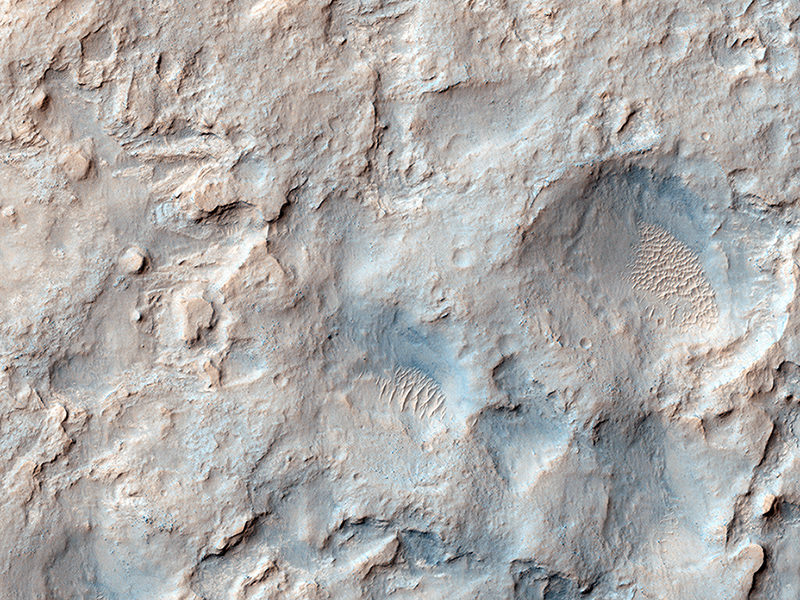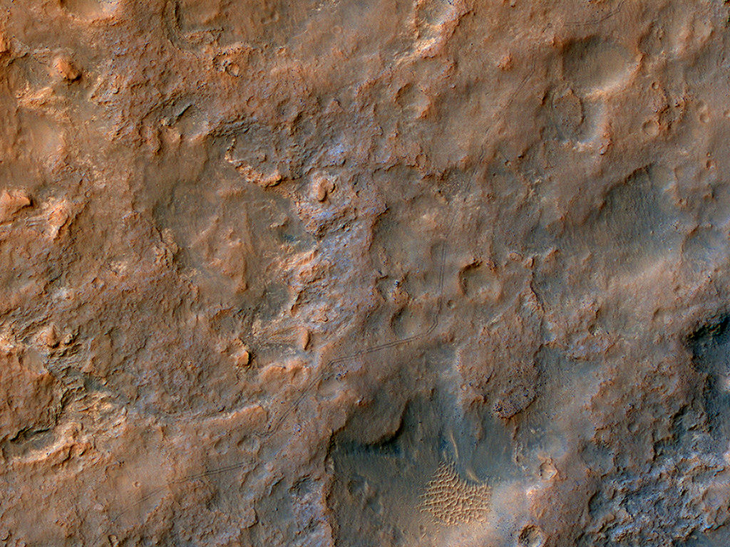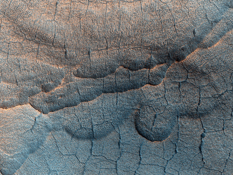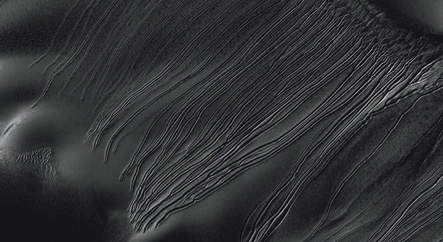
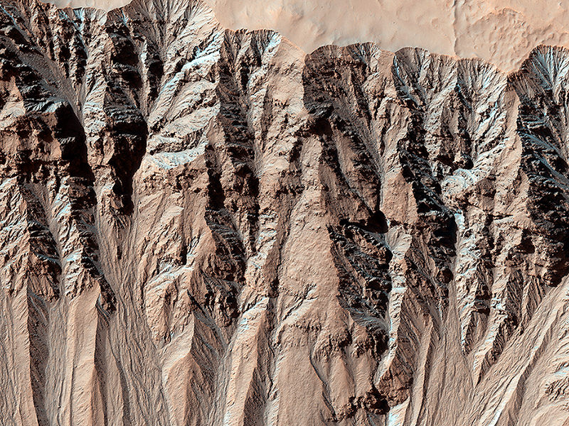
Does liquid water currently flow on the surface of Mars? Fresh-looking trenches on the Red Planet have come under a lot of scrutiny, including a 2010 study concluding that 18 dune gullies were primarily formed by carbon dioxide freezing.
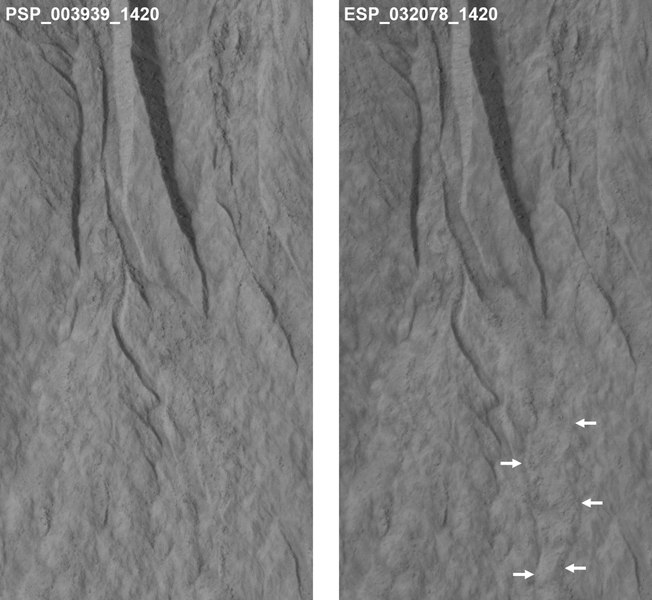
A new study looking at several more gullies comes to about the same conclusion. Researchers examined images of 356 sites, with each of these sites captured multiple times on camera. Of the 38 of these sites that showed changes since 2006, the researchers concluded site changes happened in the winter — when it’s too cold for any liquid water to flow.
“As recently as five years ago, I thought the gullies on Mars indicated activity of liquid water,” stated lead author Colin Dundas of the U.S. Geological Survey’s Astrogeology Science Center in Arizona.
“We were able to get many more observations, and as we started to see more activity and pin down the timing of gully formation and change, we saw that the activity occurs in winter.”
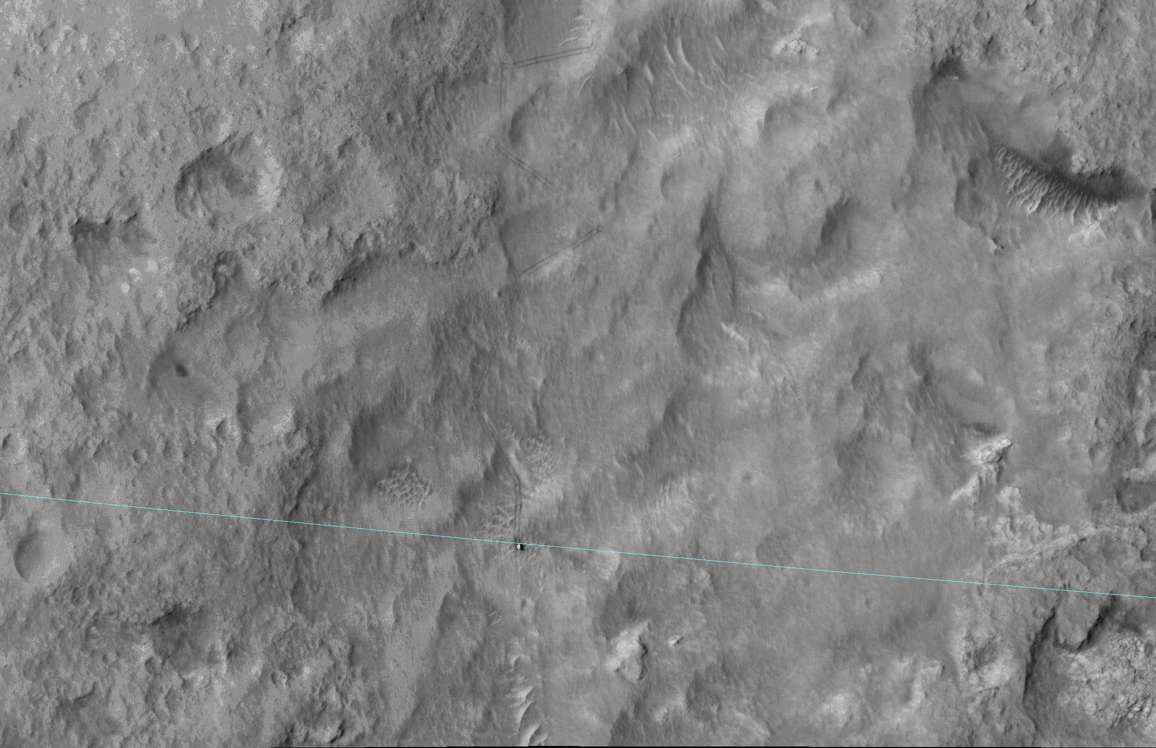
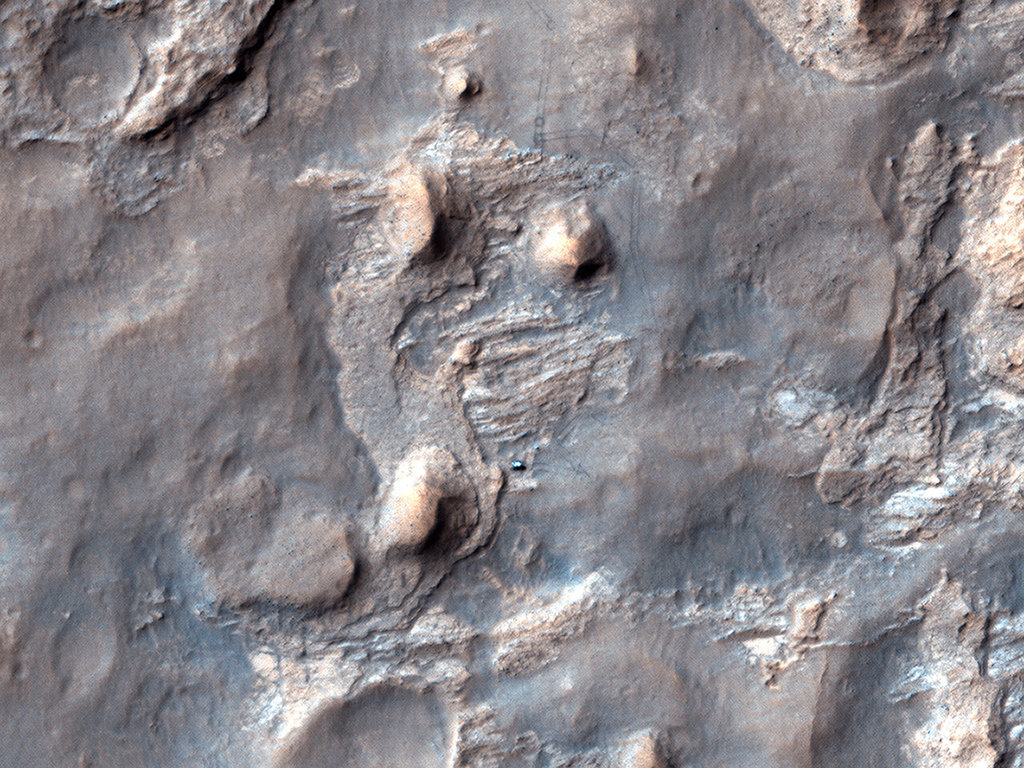
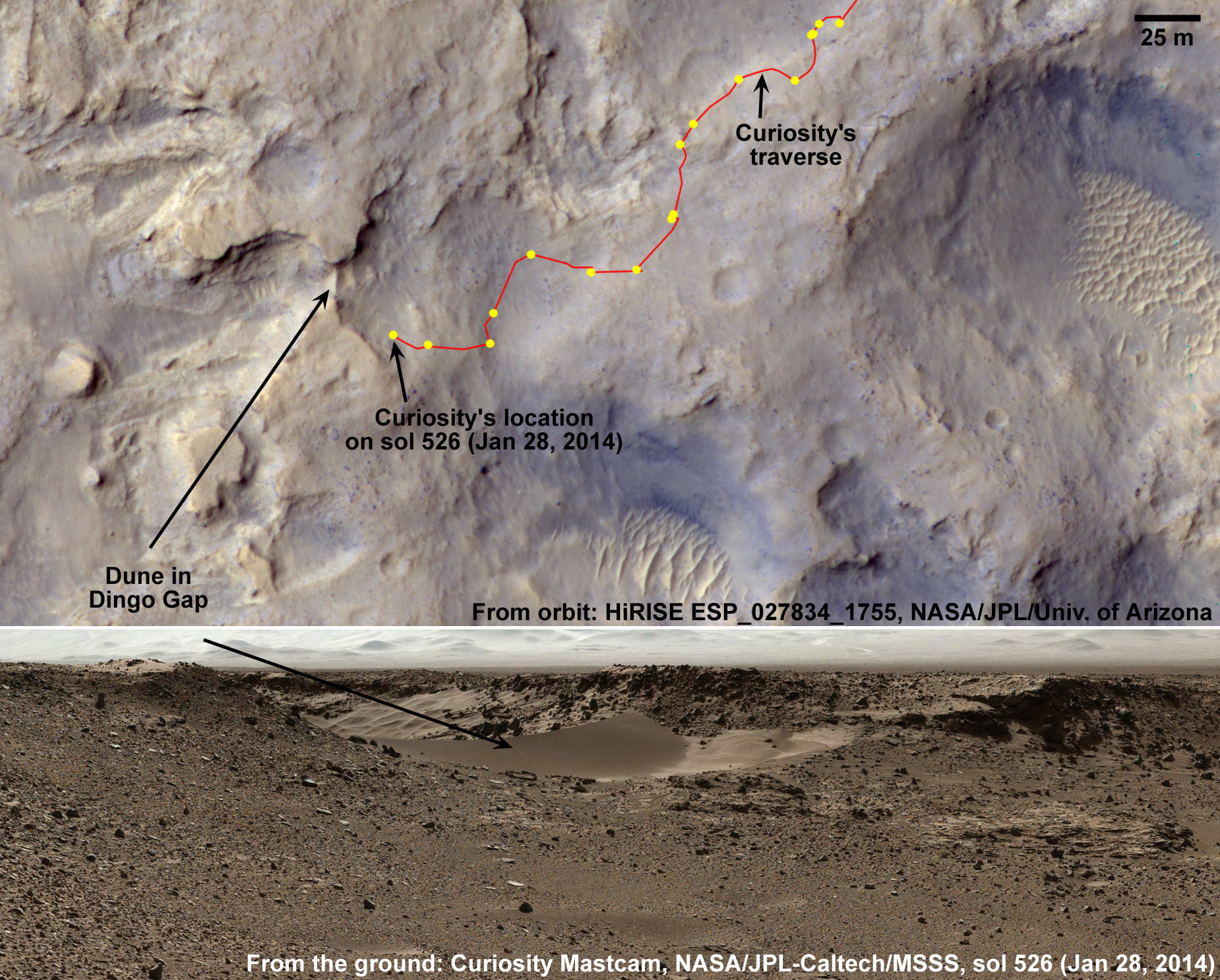
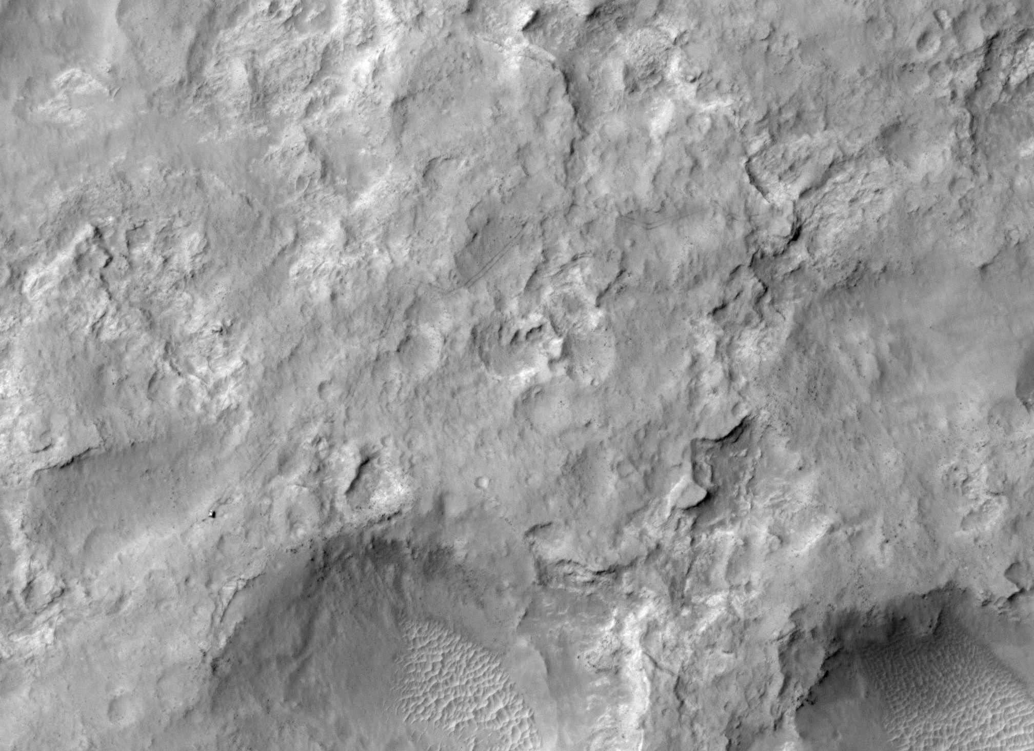
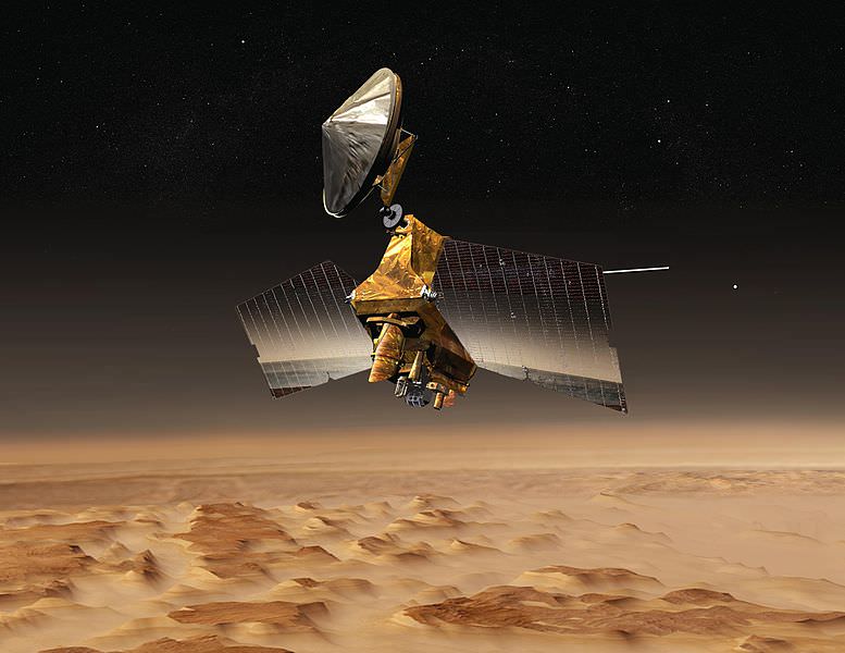
Observations were made using NASA’s long-running Mars Reconnaissance Orbiter mission, which has been in orbit there since 2006. The researchers said that these lengthy missions are important for examining and confirming findings, because they can revisit data over time and change their conclusions, as needed, as more evidence comes in. Pictures were taken by the High Resolution Imaging Science Experiment (HiRISE) camera.
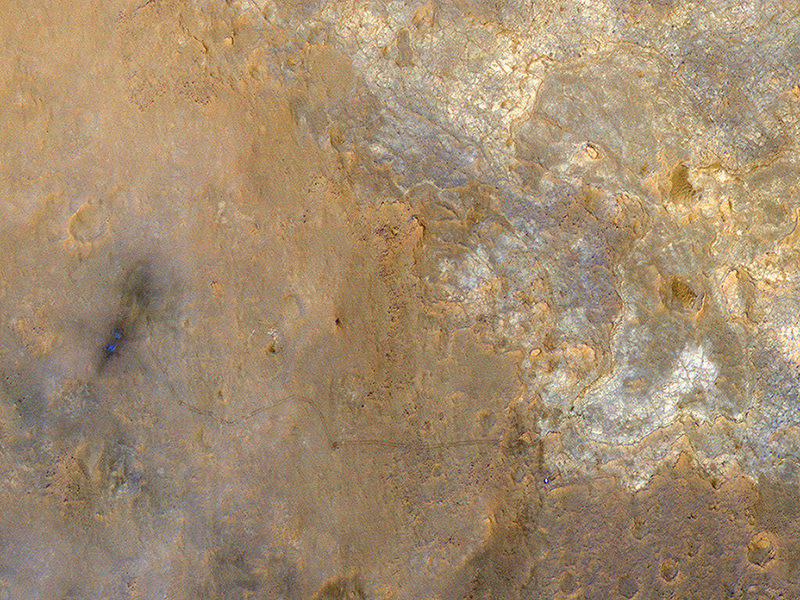
The first images of gullies in 2000 sparked speculation that liquid water could be responsible for changing the surface today. It’s true that Mars has water frozen in its poles, and observations with several NASA rovers show strong evidence that water once flowed on the surface. But, these trenches are unlikely to show evidence that liquid water is flowing right now.
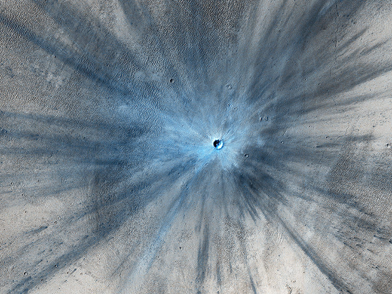
“Frozen carbon dioxide, commonly called dry ice, does not exist naturally on Earth, but is plentiful on Mars. It has been linked to active processes on Mars such as carbon dioxide gas geysers and lines on sand dunes plowed by blocks of dry ice,” NASA stated.
“One mechanism by which carbon-dioxide frost might drive gully flows is by gas that is sublimating from the frost providing lubrication for dry material to flow. Another may be slides due to the accumulating weight of seasonal frost buildup on steep slopes.”
The team added that smaller features could be the result of liquid water, such as this recent study using MRO. It’ll be interesting to see what other data is churned up as the fleet of orbiters continues making observations, and other scientists weigh in on the results.
The work will be published in the journal Icarus.
Source: Jet Propulsion Laboratory