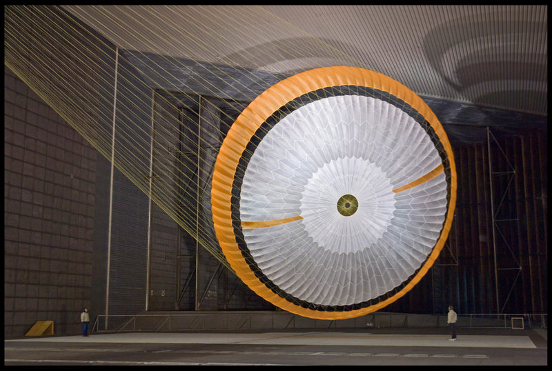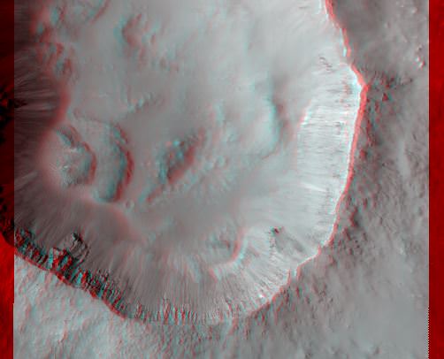
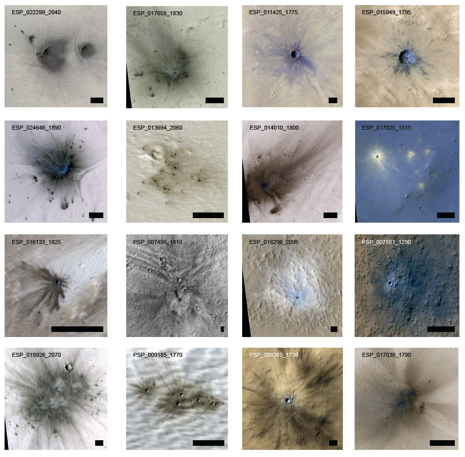
One of the benefits of having a spacecraft in orbit around another planet for several years is the ability to make long-term observations and interpretations. The Mars Reconnaissance Orbiter has been orbiting Mars for over seven years now, and by studying before-and-after images from the High Resolution Imaging Science Experiment (HiRISE) camera, scientists have been able to estimate that the Red Planet gets womped by more than 200 small asteroids or bits of comets per year, forming craters at least 3.9 meters (12.8 feet) across.
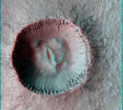
“It’s exciting to find these new craters right after they form,” said Ingrid Daubar of the University of Arizona, Tucson, lead author of the paper published online this month by the journal Icarus. “It reminds you Mars is an active planet, and we can study processes that are happening today.”
Over the last decade, researchers have identified 248 new impact sites on parts of the Martian surface in the past decade from spacecraft images, determining when the craters appeared. The 200-per-year planetwide estimate is a calculation based on the number found in a systematic survey of a portion of the planet.
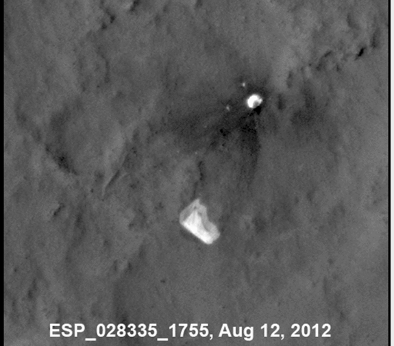
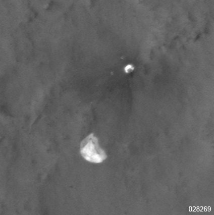
The orbiters took pictures of the fresh craters at sites where before-and-after images by other cameras helped figure out when the impacts occurred. This combination provided a new way to make direct measurements of the impact rate on Mars. This will lead to better age estimates of recent features on Mars.
Daubar and co-authors calculated a rate for how frequently new craters at least 3.9 meters in diameter are excavated. The rate is equivalent to an average of one each year on each area of the Martian surface roughly the size of the U.S. state of Texas. Earlier estimates pegged the cratering rate at three to 10 times more craters per year. They were based on studies of craters on the moon and the ages of lunar rocks collected during NASA’s Apollo missions in the late 1960s and early 1970s.
“Mars now has the best-known current rate of cratering in the solar system,” said HiRISE Principal Investigator Alfred McEwen of the University of Arizona, a co-author on the paper.
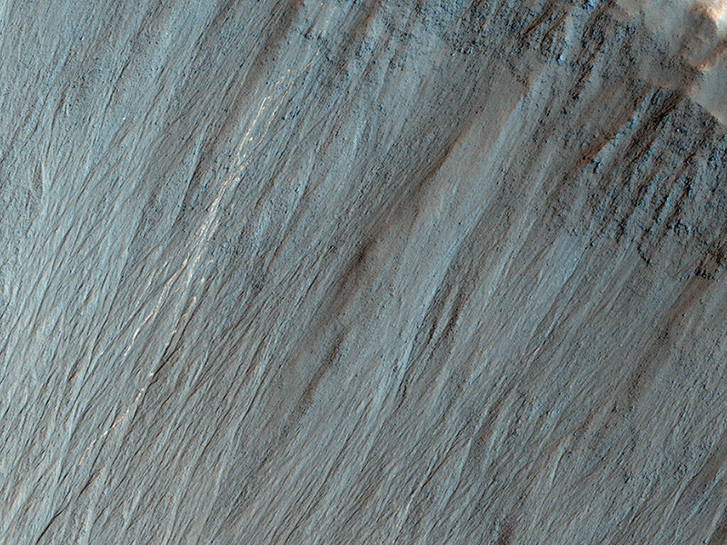
These asteroids, or comet fragments, typically are no more than 3 to 6 feet (1 to 2 meters) in diameter. Space rocks too small to reach the ground on Earth cause craters on Mars because the Red Planet has a much thinner atmosphere.
For comparison, the meteor over Chelyabinsk, Russia, in February was about 10 times bigger than the objects that dug the fresh Martian craters.
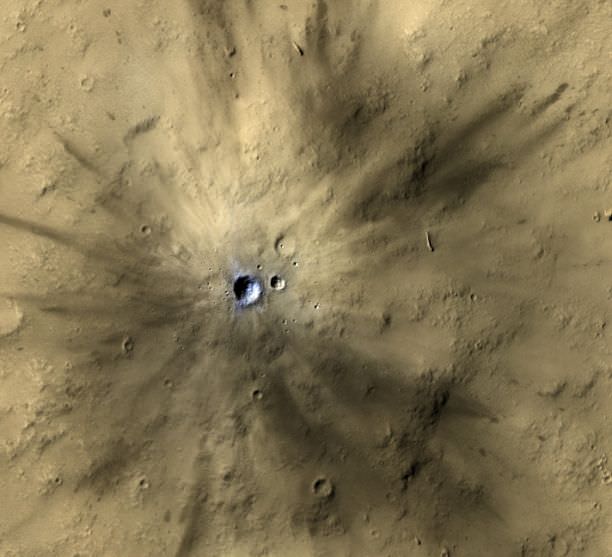
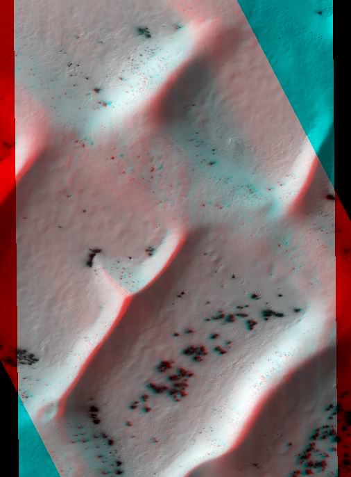
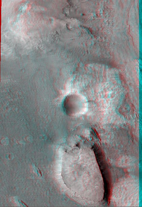
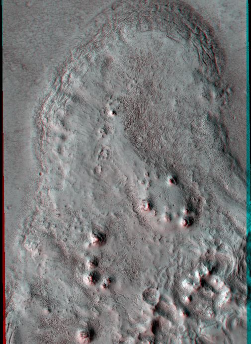
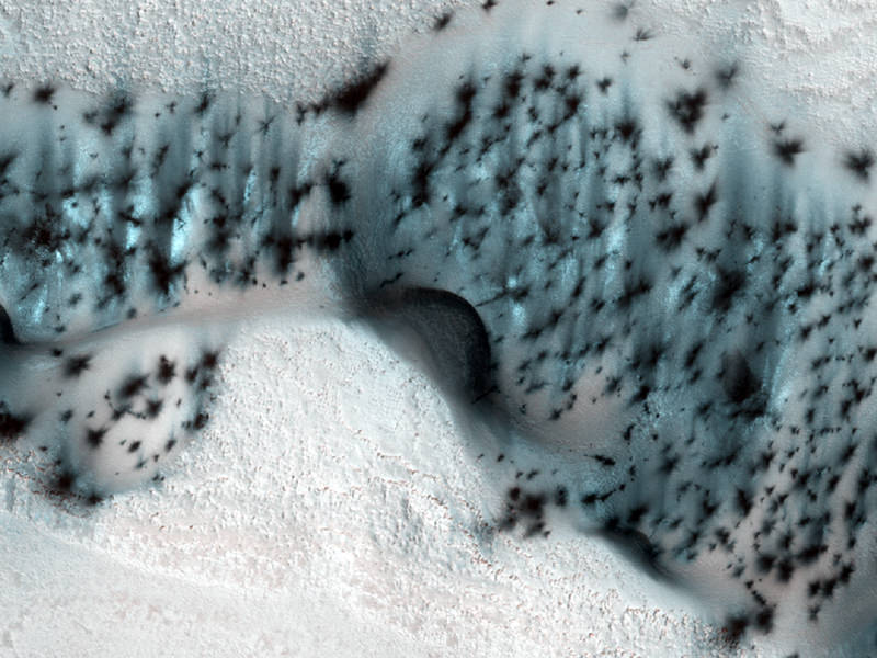
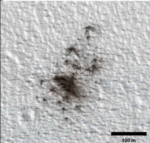
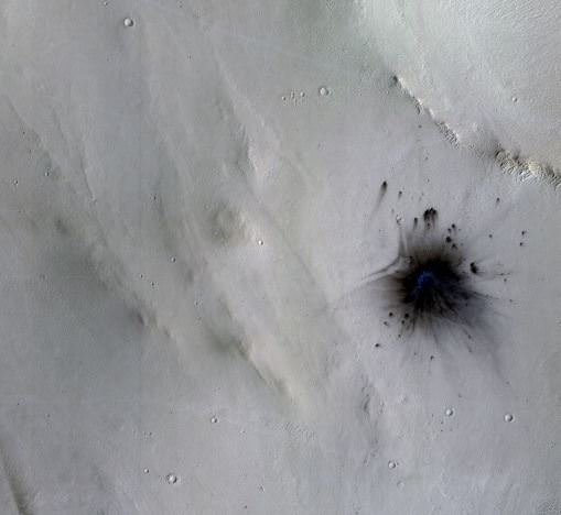
HiRISE targeted places where dark spots had appeared during the time between images taken by the spacecraft’s Context Camera (CTX) or cameras on other orbiters. The new estimate of cratering rate is based on a portion of the 248 new craters detected. It comes from a systematic check of a dusty fraction of the planet with CTX since late 2006. The impacts disturb the dust, creating noticeable blast zones. In this part of the research, 44 fresh impact sites were identified.
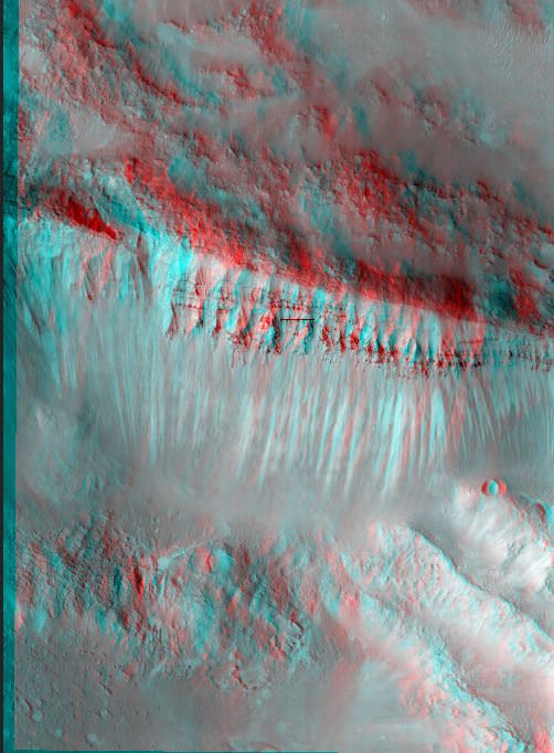
Estimates of the rate at which new craters appear serve as scientists’ best yardstick for estimating the ages of exposed landscape surfaces on Mars and other worlds.