Could this meteorite show evidence of ancient water and life on Mars? That’s one possibility raised in a new paper led by NASA and including members of a team who made a contentious claim about Martian microfossils in another meteorite 18 years ago.
“This is no smoking gun,” stated lead author Lauren White, who is based at NASA’s Jet Propulsion Laboratory, of the findings released this week. “We can never eliminate the possibility of contamination in any meteorite. But these features are nonetheless interesting and show that further studies of these meteorites should continue.”
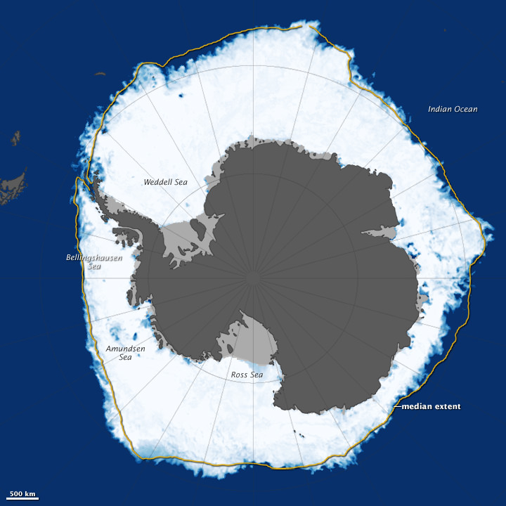
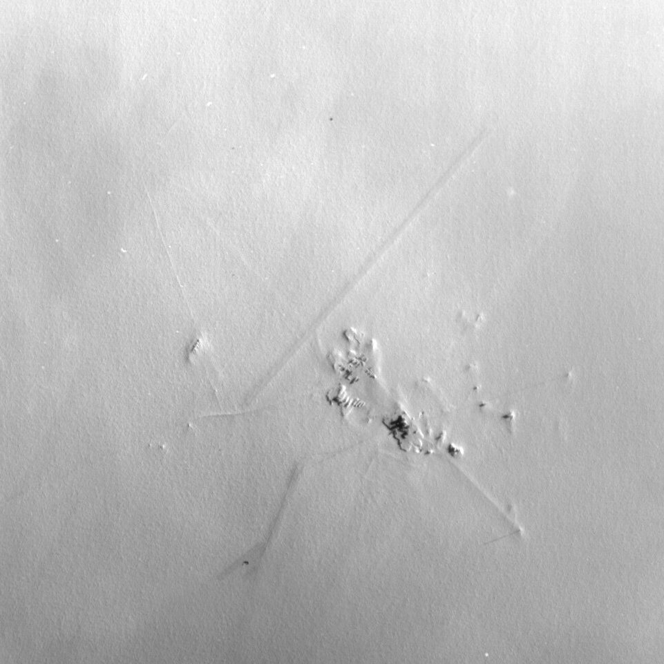
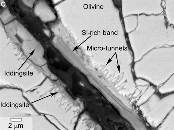
The new, peer-reviewed work focuses on tunnels and microtunnels the scientists said they found in a meteorite called Yamato 00593. The meteorite is about 30 pounds (13.7 kilograms) and was discovered in Antarctica in 2000. The structures were found deep within the rock, NASA stated, and “suggest biological processes might have been at work on Mars hundreds of millions of years ago.”
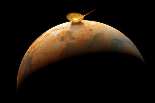
Scientists believe the 1.3-billion-year-old rock left Mars about 12 million years ago after an impact threw it off the surface. It reached Antarctica 50,000 years ago and after it was found in 2000, was analyzed and believed to be a “nakhlite”, or a kind of Martian meteorite. “Martian meteoritic material is distinguished from other meteorites and materials from Earth and the moon by the composition of the oxygen atoms within the silicate minerals and trapped Martian atmospheric gases,” NASA stated.
There are two things in the meteorite that caught the attention of scientists. One is the aforementioned tunnels and microtunnels, which they say are similar to those altered by bacteria in basalt on Earth. The second is tiny, carbon-enriched spherules (in the nanometer to micrometer range) between layers in the rock — structures similar to another Martian meteorite (Nakhla) that struck Egypt in 1911. In that case, the rock was recovered quickly after landing and still had the same spherules, the researchers noted.
The authors said it’s possible that these structures could be explained by other mechanisms besides life, but said the similarities to what they have found on Earth “imply the intriguing possibility that the Martian features were formed by biotic activity.”
The research team includes NASA’s David McKay (who died a year ago), Everett Gibson and Kathie Thomas-Keptra. In 1996, these same scientists (then led by McKay) found “biogenic evidence” in a meteorite called Allen Hills 84001, but other science teams have disagreed with the findings. There have been a lot of papers about this particular meteorite, and you can read more about the controversy in this 2011 Universe Today article.
Of note, since 1996 NASA and other agencies have found plenty of evidence for past water on Mars, which might throw the findings in a different light. What do you think? You can read the full paper on the new research in the journal Astrobiology.
Source: NASA