
[/caption]
NASA’s Ice, Cloud, and land Elevation (ICESat) mission is now on ice, so to speak, or perhaps we should say, it ultimately became an inferno. The satellite was intentionally deorbited and burned up in the atmosphere on August 30, after completing a very productive seven-year scientific stint in orbit. And talk about the ultimate high-stakes, high-adventure, hands-on student project: students at the University of Colorado Boulder conducted the final maneuvers to send the spacecraft to its fiery death.
ICESat’s science mission ended in February 2010 when its primary instrument failed. NASA lowered the satellite’s orbit this summer and then decommissioned the spacecraft in preparation for re-entry. The satellite largely burned up, (NASA calculated that no more than 90 kg (200 pounds) of the ICESat’s original 900 kg (2,000 pounds) would survive re-entry) with pieces of debris falling into the Barents Sea, part of the Arctic Ocean north of Norway and Russia.
Originally a slated for 3 year mission, it continued for seven years and 15 laser-operations campaigns. While the GLAS instrument failed, the spacecraft itself remained in operating condition, so NASA could fire its thrusters to lower its orbit. This began in June, and reduced the lowest point of the spacecraft’s orbit to 125 miles (200 km) above Earth’s surface. The orbit then naturally decayed, but the final maneuvering was controlled by a group of students from the University of Colorado, working at the school’s Laboratory for Atmospheric and Space Physics (LASP). They sent it successfully plummeting through Earth’s atmosphere at just the right moment so that the satellite’s remains would land in the chilly – and uninhabited — seas north of Norway and Russia.
“They ran calculations to determine where the spacecraft was located,” said Darrin Osborne, flight director for ICESat.
The student operators provide a lower cost to NASA, and CU students at LASP receive hands-on training and experience that helps position them for a future in space-related careers.
“It’s amazing for an undergraduate like me to get hands-on experience controlling multimillion-dollar NASA satellites,” said third-year aerospace engineering sciences student Katelynn Finn, quoted in an article in The Register.

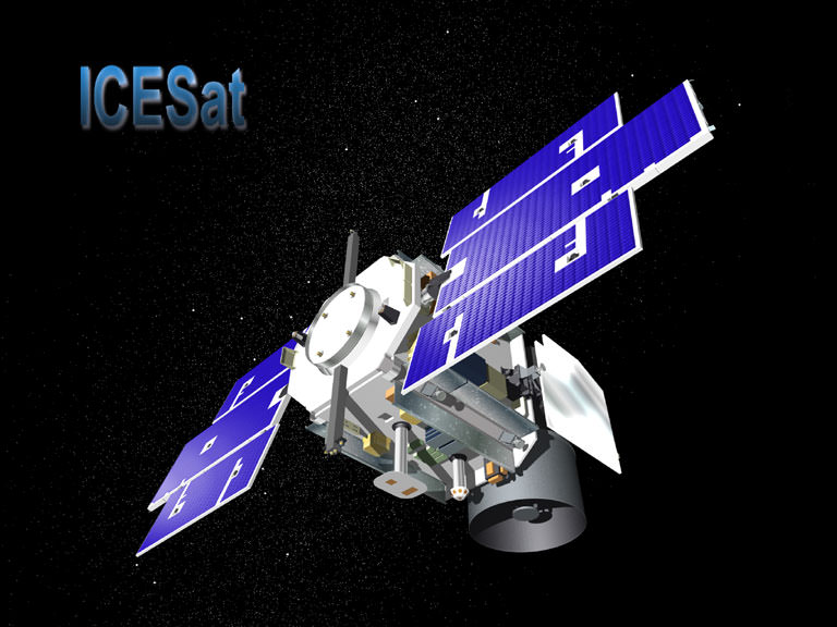
ICESat was launched in January, 2003, and was the first mission of its kind, designed to study Earth’s polar regions with a space-based laser altimeter called the Geoscience Laser Altimeter System, or GLAS. ICESat has helped in our understanding of ice sheet and sea ice dynamic, leading to scientific advances in measuring changes in the mass of the Greenland and Antarctic ice sheets, polar sea ice thickness, vegetation-canopy heights, and the heights of clouds and aerosols. Using ICESat data, scientists identified a network of lakes beneath the Antarctic ice sheet. ICESat introduced new capabilities, technology and methods such as the measurement of sea ice freeboard – or the amount of ice and snow that protrudes above the ocean surface – for estimating sea ice thickness.
A final eulogy for the satellite was offered by NASA’s Earth Science Mission Operations office: “The ICESat mission operations team is commended for its exceptional performance, working tirelessly for the past eleven years (four years of preparation and seven years of operations), overcoming several obstacles in the early years of the mission, and closing out the mission with a flawless series of orbital maneuvers before final decommissioning. The positive control maintained over the mission right to the end shows the quality and effort that went into designing, building, qualifying, launching, and operating a tremendously successful mission such as ICESat.”