The Waters Of Mars: New Map Shows Something Unexpected
A portion of a 2014 Mars map showing the area east of Hellas basin, at midsoutherly latitudes. Credit: USGS
Where did the water on Mars come from, and where did it go? This plot (sort of) formed the basis of one of the best Doctor Who episodes of the modern era, but in all seriousness, it is also driving scientists to examine the Red Planet over and over again.
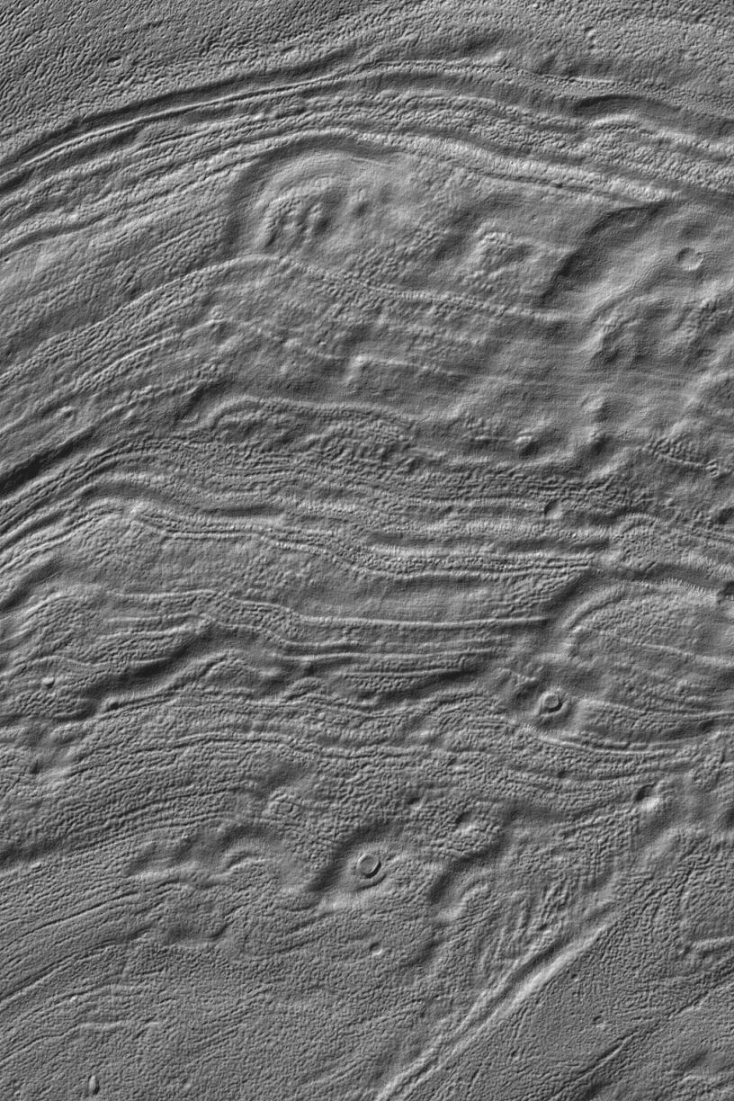
This means revisiting older information with newer data to see if everything still matches up. From time to time, it doesn’t. The latest example came when scientists at the U.S. Geological Survey created a map of the canyon systems of Waikato Vallis and Reull Vallis, which are in the midsoutherly latitudes of Mars.
They previously believed the canyons were connected, but updating the data from an understanding based on 1980s Viking data revealed a different story.
“These canyons are believed to have formed when underground water was released from plains materials to the surface, causing the ground to collapse. The water could have been stored within the plains in localized aquifers or as ice, which could have melted due to the heat from nearby volcanoes,” the U.S. Geological Survey stated.
But the newer data — looking at information from the Mars Reconnaissance Orbiter, Mars Odyssey, Mars Global Surveyor — revealed the canyons are quite separate, demarcated by a zone called Eridania Planitia in between.
“Careful estimates of the ages of the canyons and the plains reveal a sequence of events starting with the water released from Waikato Vallis, which would have been stored for a time in the plains as a shallow lake. As Reull Vallis was forming separately, the canyon breached a crater rim that was holding back the water in the lake; the lake drained gradually, which can be seen by many smaller channels incised on the floor of Reull Vallis.”
The map was co-produced by Scott Mest and David Crown, who are both of the Planetary Science Institute. You can view the entire map and related materials here.
Source: Planetary Science Institute
Recent Posts
New Evidence for Our Solar System’s Ghost: Planet Nine
Does another undetected planet languish in our Solar System's distant reaches? Does it follow a…
NASA Takes Six Advanced Tech Concepts to Phase II
It's that time again. NIAC (NASA Innovative Advanced Concepts) has announced six concepts that will…

China is Going Back to the Moon Again With Chang'e-6
On Friday, May 3rd, the sixth mission in the Chinese Lunar Exploration Program (Chang'e-6) launched…
What Can Early Earth Teach Us About the Search for Life?
Earth is the only life-supporting planet we know of, so it's tempting to use it…
China Creates a High-Resolution Atlas of the Moon
Multiple space agencies are looking to send crewed missions to the Moon's southern polar region…
Dinkinesh's Moonlet is Only 2-3 Million Years Old
Last November, NASA's Lucy mission conducted a flyby of the asteroid Dinkinish, one of the…