
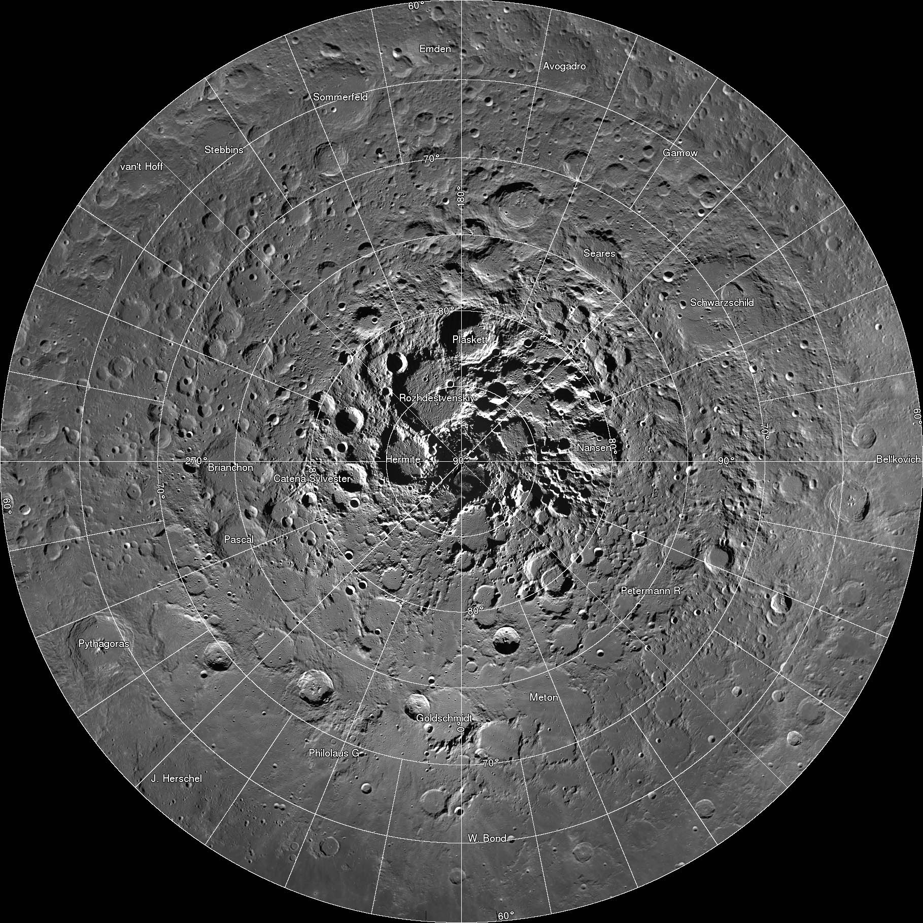
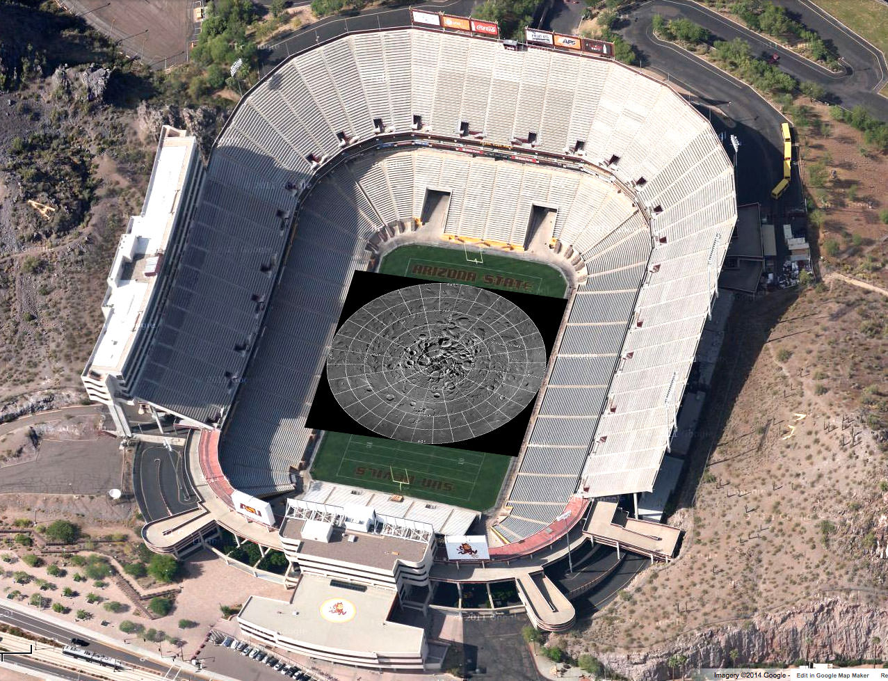
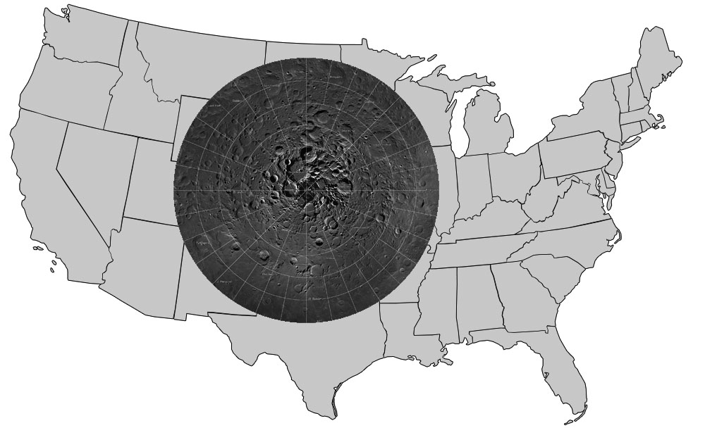
OMG – breathtaking! That was my reaction when I clicked on this incredible new interactive map of the moon’s north polar region. Be prepared to be amazed. It took four years and 10,581 images for the LROC (Lunar Reconnaissance Orbiter Camera) team to assemble what’s believed to be the largest publicly available image mosaic in existence. With over 650 gigapixels of data at a resolution of 2 meters per pixel, you’ll feel like you’re dropping in by parachute to the lunar surface.
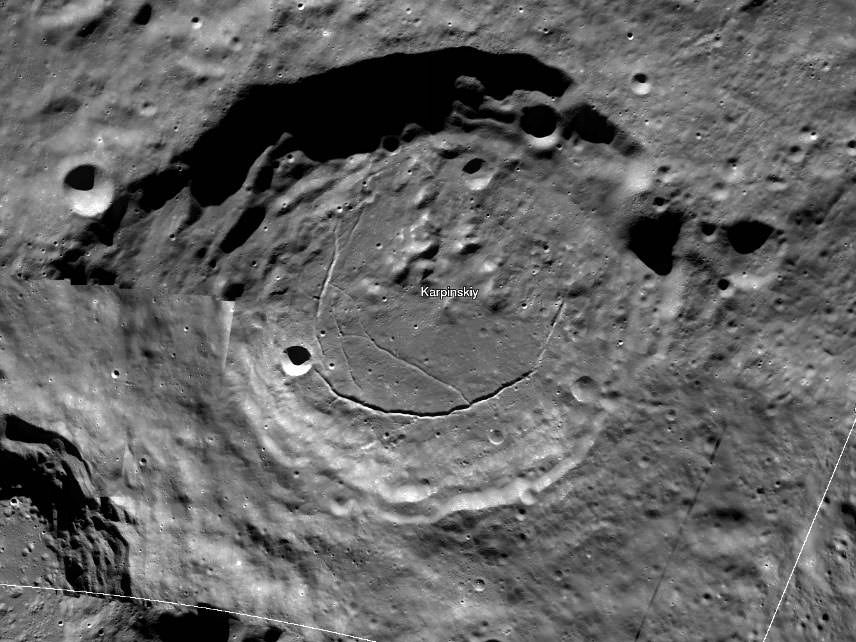
When you call up the map, be sure to click first on the full-screen button below the zoom slider. Now you’re ready for the full experience. With mouse in hand, you’re free to zoom and pan as you please. Take in the view of Whipple Crater shadowed in polar darkeness or zoom to the bottom of Karpinskiy Crater and fly like a bird over its fractured floor.
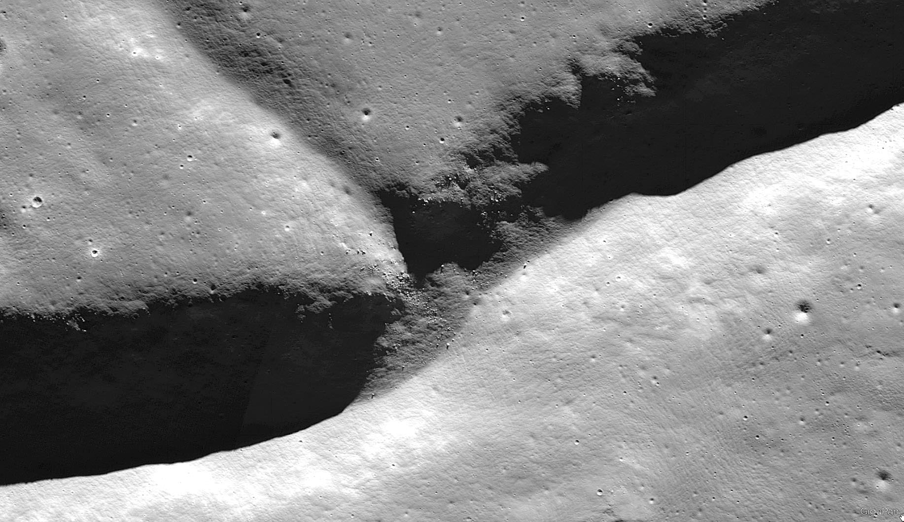
The images are so detailed and the zoom so smooth, there’s nothing artificial about the ride. Except the fact you’re not actually orbit. Darn close though. All the pictures were taken over the past few years by NASA’s Lunar Reconnaissance Orbiter which can fly as low as 50 km (31 miles) over the lunar surface and resolve details the size of a desk.
There are 10 snapshots along the bottom of the map – click them and you’ll be swiftly carried directly to that feature. One of them is the lunar gravity probe GRAIL-B impact site.
To create the 2-D map, a polar stereographic projection was used in to limit mapping distortions. In addition, the LROC team used information from the LOLA and GRAIL teams and an improved camera pointing model to accurately project each image in the mosaic to within 20 meters. For more information on the project, click HERE.
OK, I’ve said enough. Now go take a look!
love it!
I concur!