On the brink of 4600 Sols of a profoundly impactful life, NASA’s long lived Opportunity rover celebrates the Christmas/New Year’s holiday season on Mars marching relentlessly towards an ancient water carved gully along the eroded rim of vast Endeavour crater – the next science target on her heroic journey traversing across never before seen Red Planet terrains.
“Opportunity is continuing its great 21st century natural history expedition on Mars, exploring the complex geology and record of past climate here on the rim of the 22-km Endeavour impact crater,” writes Larry Crumpler, a science team member from the New Mexico Museum of Natural History & Science, in a mission update.
Indeed, New Years Day 2017 equates to 4600 Sols, or Martian Days – of boundless exploration and epic discovery by the longest living Martian rover ever dispatched by humanity to survey the most Earth-like planet in our solar system.
One can easily imagine our beloved Princess Leia gazing quite proudly upon the feistiness and resourcefulness of this never-give-up Martian Princess rover – climbing steeply uphill no less – nearly 13 YEARS into her 3 MONTH mission!!
“Not a boring flat terrain, but heroically rugged terrain,” says Crumpler.
“Hopefully the brakes are good! For a rover that originally landed 12 years ago on what amounts to a flat parking lot, the current terrain is about as different and rugged as any mountain goat rover could handle.”
Indeed she is 51 times beyond her “warrantied” life expectancy of merely 90 Sols roving the surface of the 4th rock from the Sun during her latest extended mission. (And this time round, the clueless Washington bean counters did not even dare threaten to shut her down – lest they suffer the wrath of a light saber or sister Curiosity’s laser canon !!).
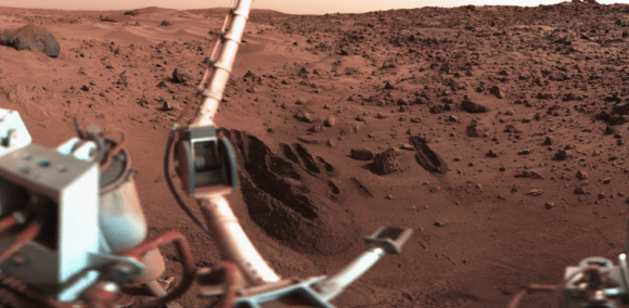
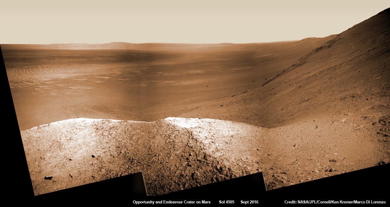
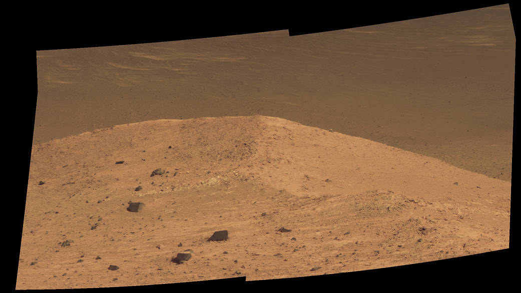
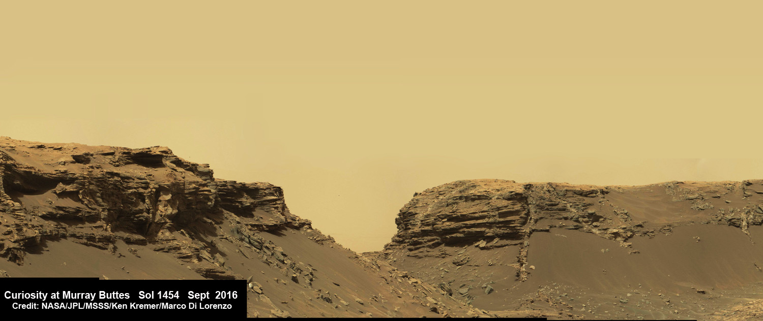
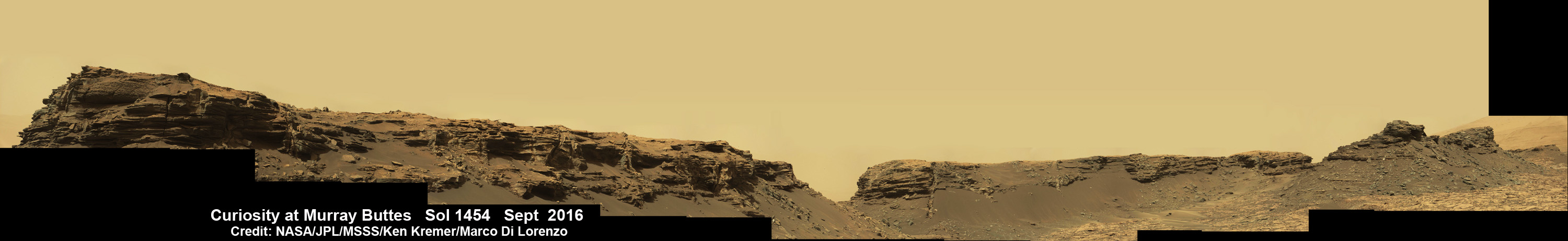
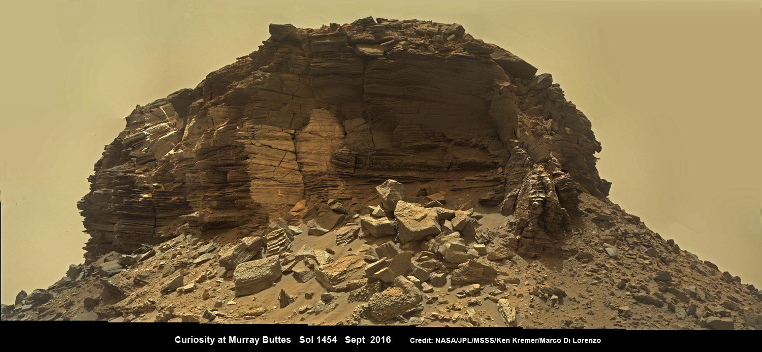
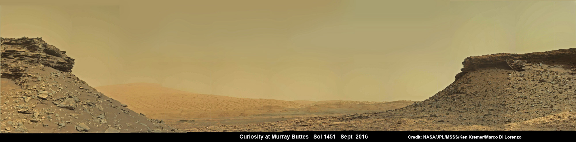
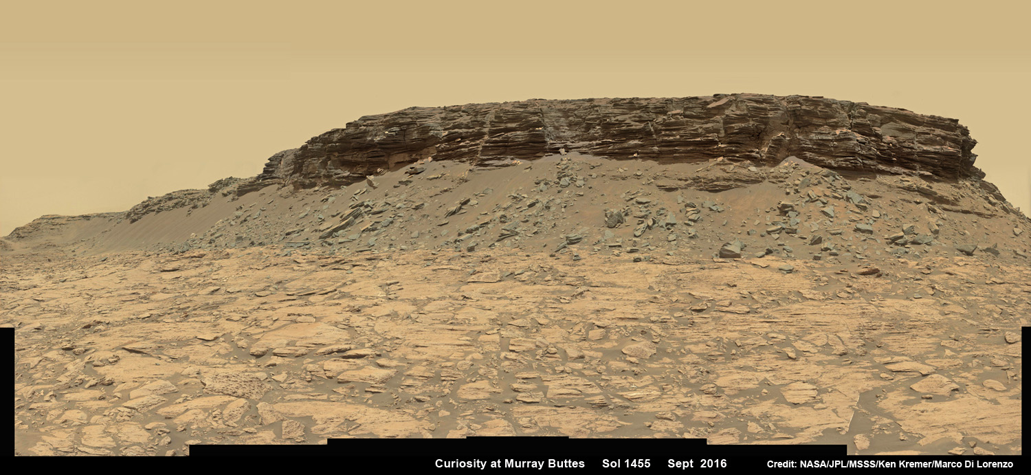
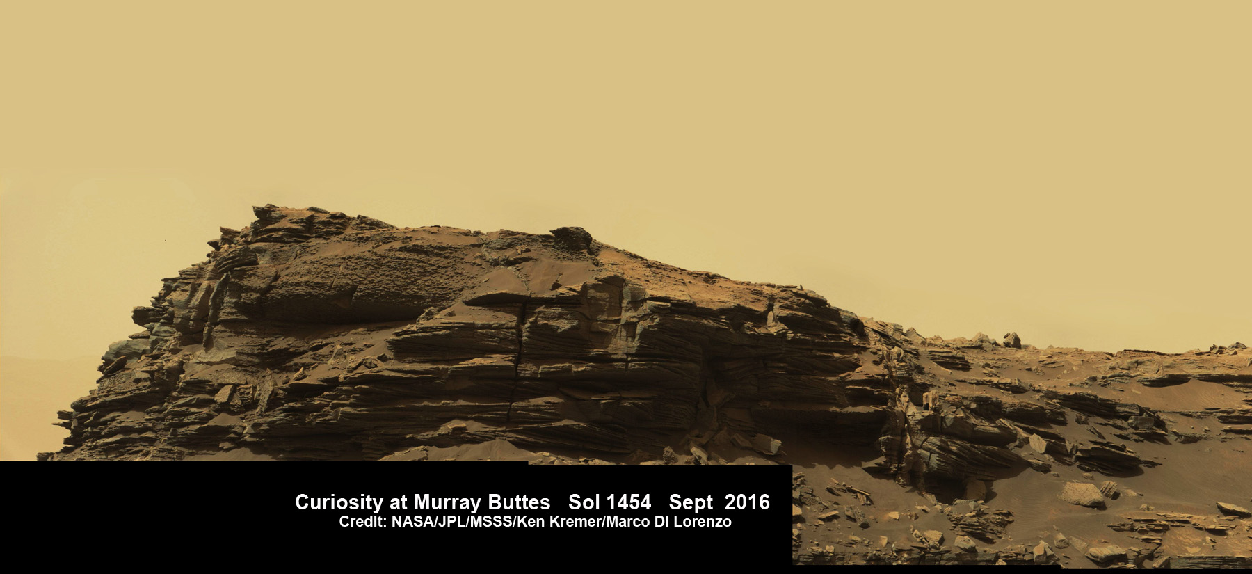
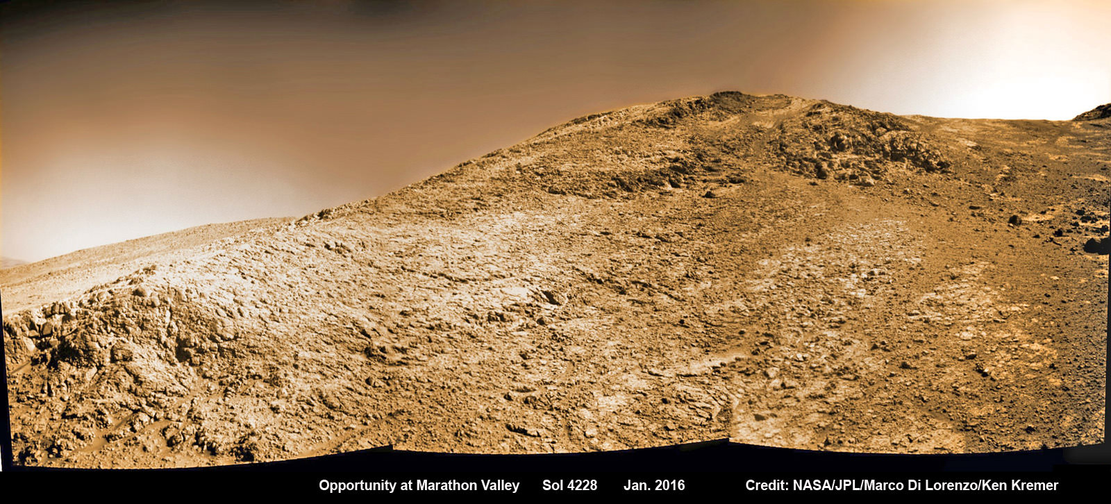
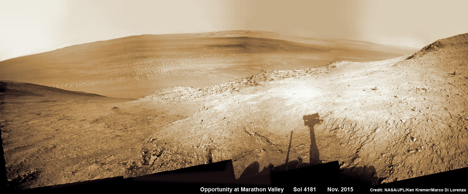
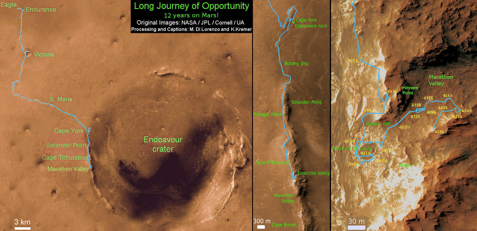
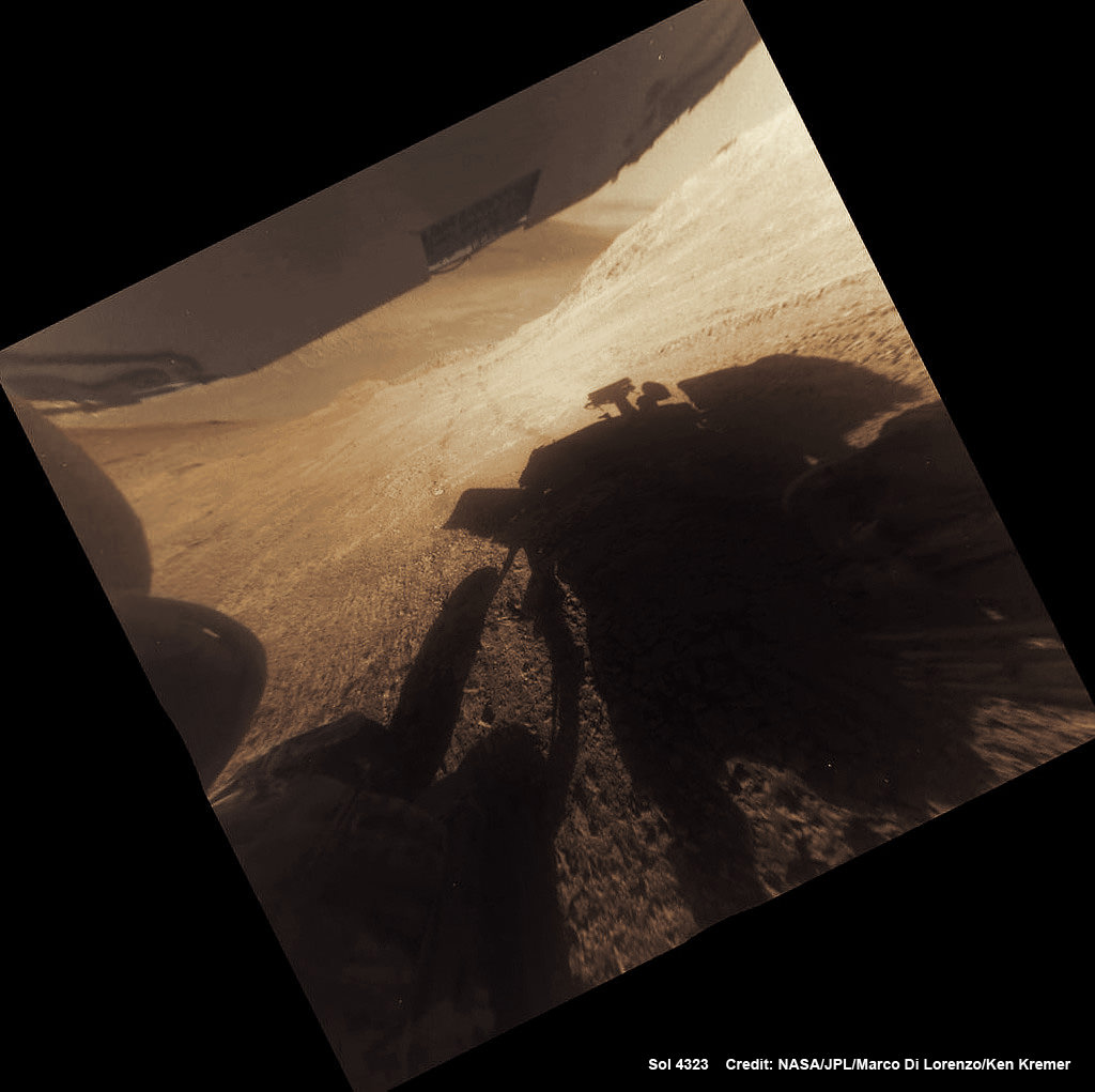
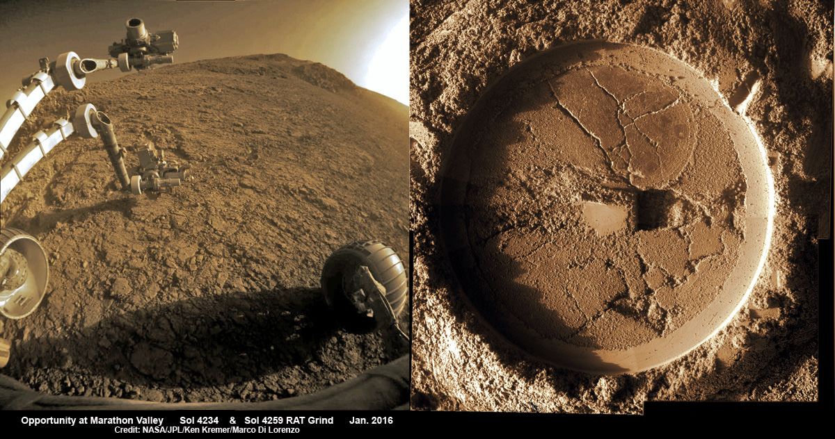
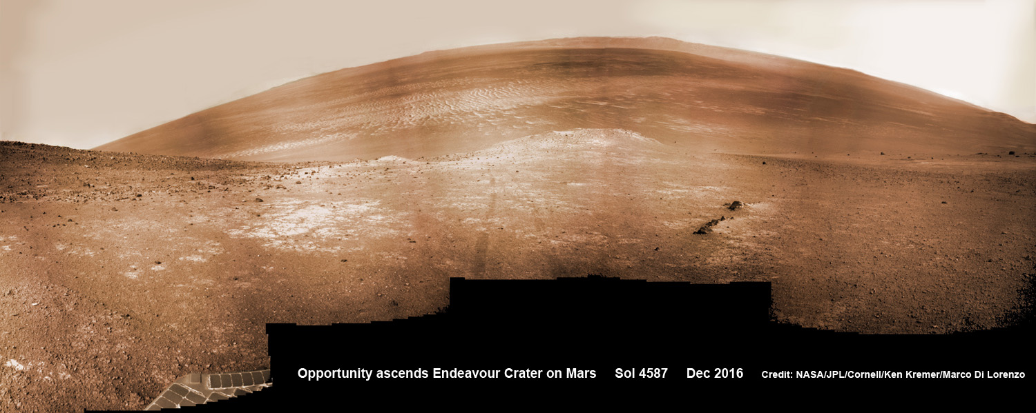
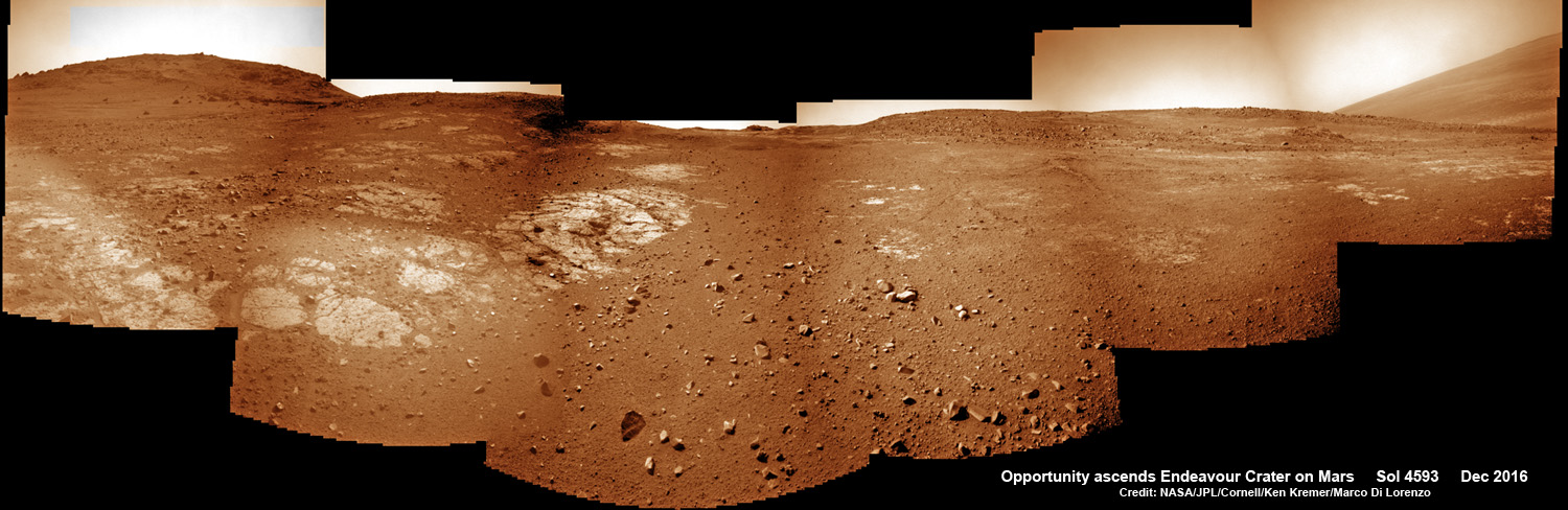
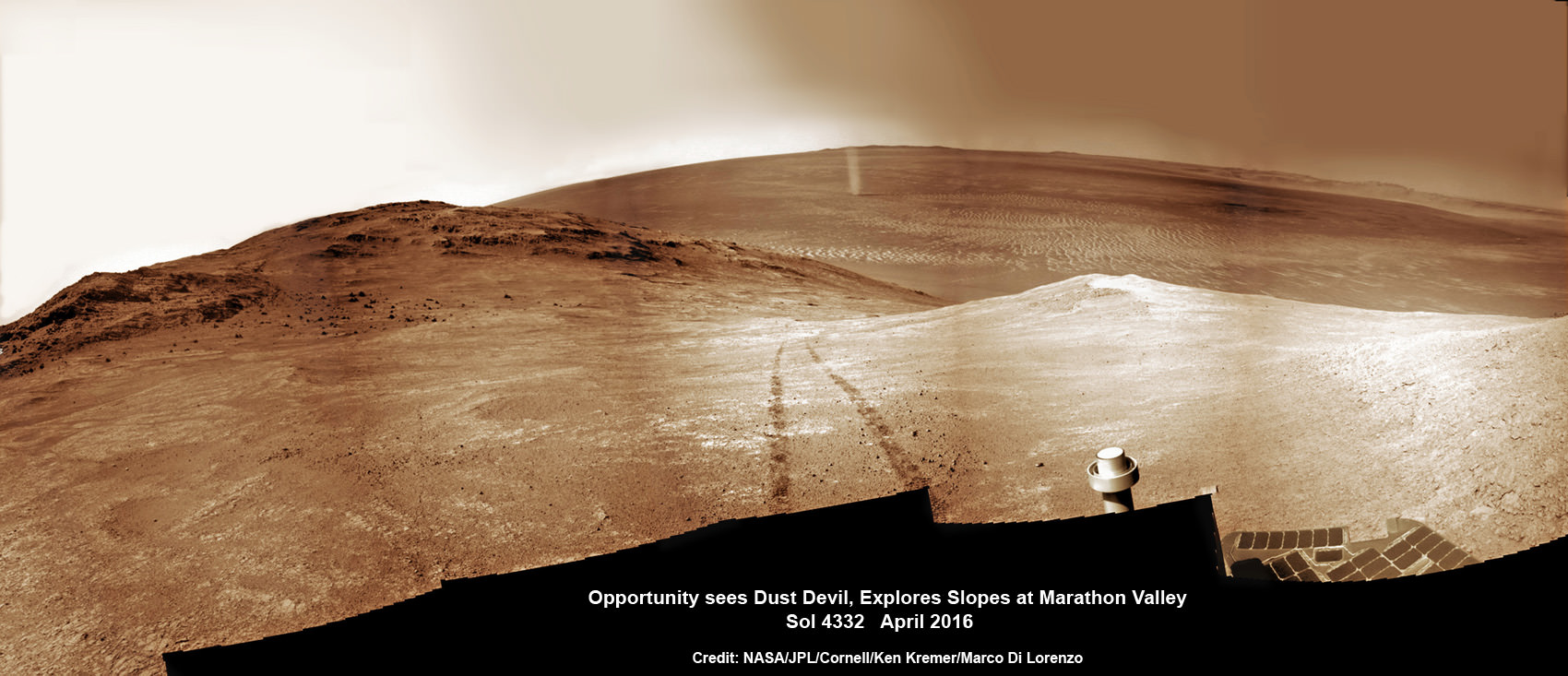
Check out the glorious view from Opportunity’s current Martian holiday season exploits in our newest photo mosaics created by the imaging team of Ken Kremer and Marco Di Lorenzo.
“Opportunity has begun the ascent of the steep slopes here in the inner wall of Endeavour impact crater after completion of a survey of outcrops close to the crater floor. The goal now is to climb back to the rim where the terrain is less hazardous, drive south quickly about 1 km south, and arrive at the next major mission target on the rim before the next Martian winter,” Crumpler elaborated.
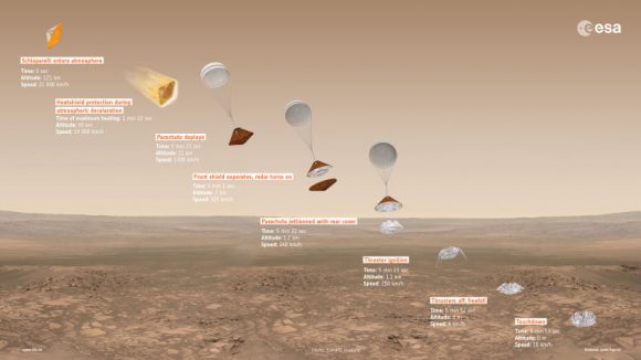
After surviving the scorching ‘6 minutes of Terror’ plummet through the thin Martian atmosphere, Opportunity bounced to an airbag cushioned landing on the plains of Meridiani Planum on January 24, 2004 – nearly 13 years ago!
Opportunity was launched on a Delta II rocket from Cape Canaveral Air Force Station in Florida on July 7, 2003.
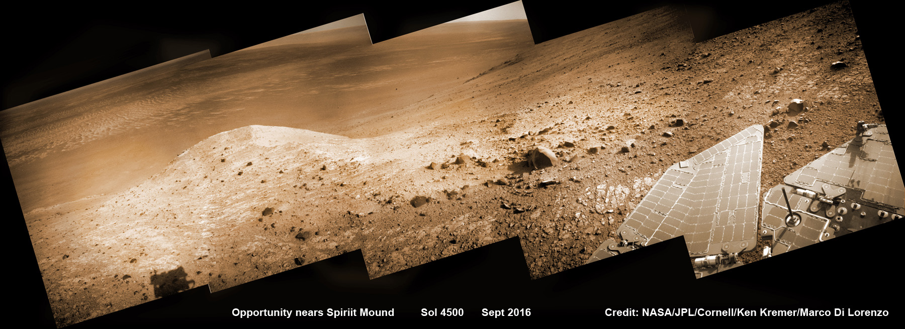
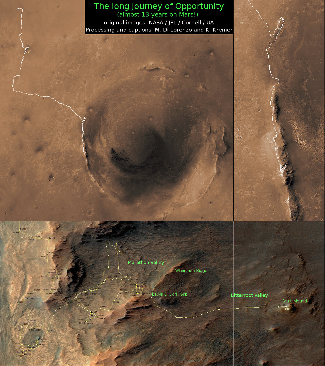
The newest 2 year extended mission phase just began on Oct. 1, 2016 as the six wheeled robot was stationed at the western rim of Endeavour crater at the bottom of Marathon Valley at a spot called “Bitterroot Valley” and completing investigation of nearby “Spirit Mound.”
She is now ascending back up to the top of the crater rim for the southward trek to ‘the gully’ in 2017.
“Opportunity is making progress towards the next science objective of the extended mission,” researchers leading the Mars Exploration Rover (MER) Opportunity mission wrote in a status update.
“The rover is headed toward an ancient water-carved gully about a kilometer south of the rover’s current location on the rim of Endeavour Crater.”
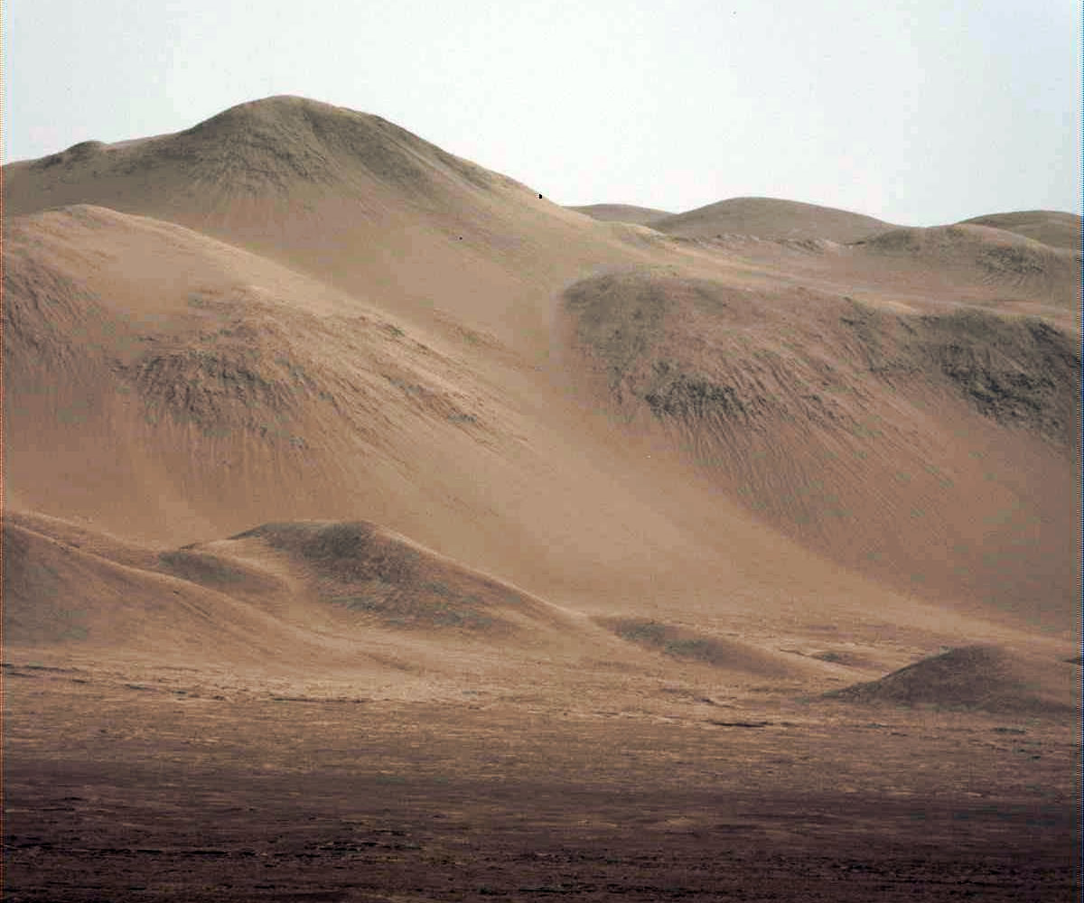
Endeavour crater spans some 22 kilometers (14 miles) in diameter.
Opportunity has been exploring Endeavour since arriving at the humongous crater in 2011. Endeavour crater was formed when it was carved out of the Red Planet by a huge meteor impact billions of years ago.
“Endeavour crater dates from the earliest Martian geologic history, a time when water was abundant and erosion was relatively rapid and somewhat Earth-like,” Crumpler explains.
“So in addition to exploring the geology of a large crater, a type of feature that no one has ever explored in its preserved state, the mission seeks to take a close look at the evidence in the rocks for the past environment. Thus we are trying to stick to the crater rim where the oldest rocks are.”
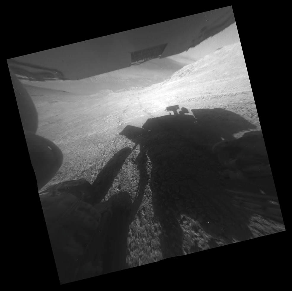
But the crater slopes ahead are steep! As much as 20 degrees and more – and thus potentially dangerous! So the team is commanding Opportunity to proceed ahead with caution to “the gully” which is the primary target of her latest extended mission.
The rover has even done “quite a bit of exploratory driving in an effort to attain a good vantage point for finding a path through a troubling area of boulder patch and steep slopes ahead. The concern was whether the available routes to avoid the boulders were all too steep to traverse, in which case we would have to forgo the current ‘Extended Mission 10’ (EM10) route and backtrack to find a different route to our main objective, the ‘gully.’”
“The slopes here exceed 20 degrees and the surface consists of flat outcrops of impact breccias covered with tiny rocks that act like ball bearings,” Crumpler writes. “Anyone who has attempted to walk on a 20 degree slope with a covering of fine pebbles on hard outcrop can attest to the difficulty. Opportunity has been operating at these extreme slope for several months. But going down hill is one thing, And going back up hill is another entirely.”
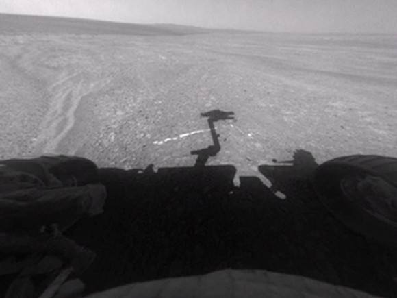
As of today, Sol 4598, Dec. 29, 2016, Opportunity has taken over 215,900 images and traversed over 27.12 miles (43.65 kilometers) – more than a marathon.
See our updated route map below.
The rover surpassed the 27 mile mark milestone early last month on November 6 (Sol 4546).
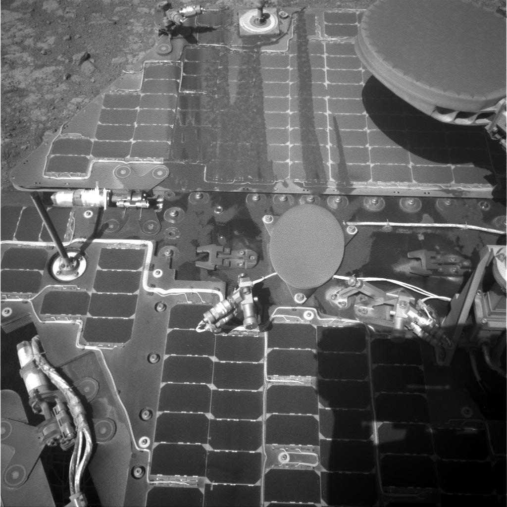
The power output from solar array energy production is currently 414 watt-hours, before heading into another southern hemisphere Martian winter in 2017.
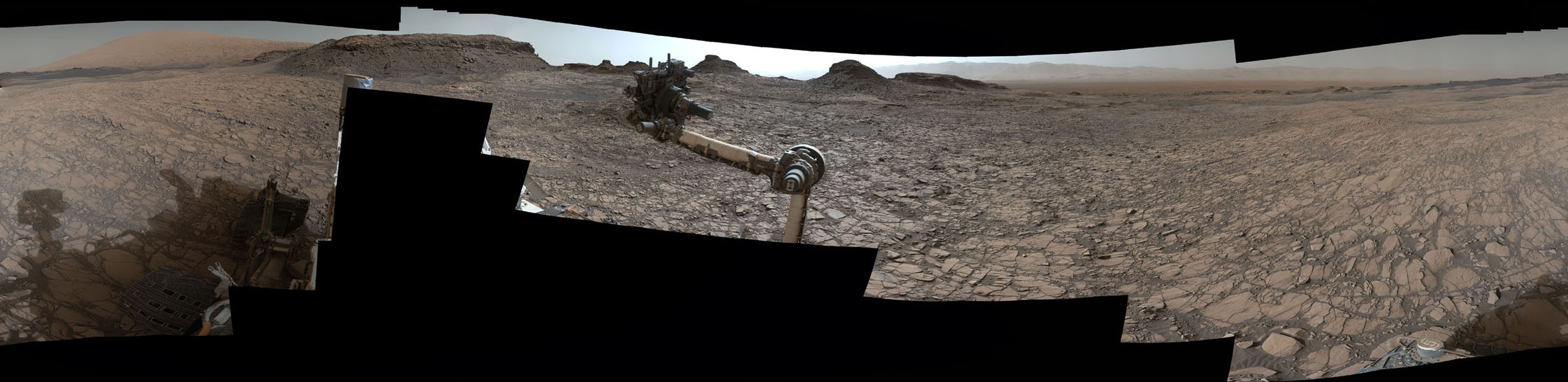
Meanwhile Opportunity’s younger sister rover Curiosity traverses and drills into the lower sedimentary layers at the base of Mount Sharp.
Stay tuned here for Ken’s continuing Earth and planetary science and human spaceflight news.