[/caption]
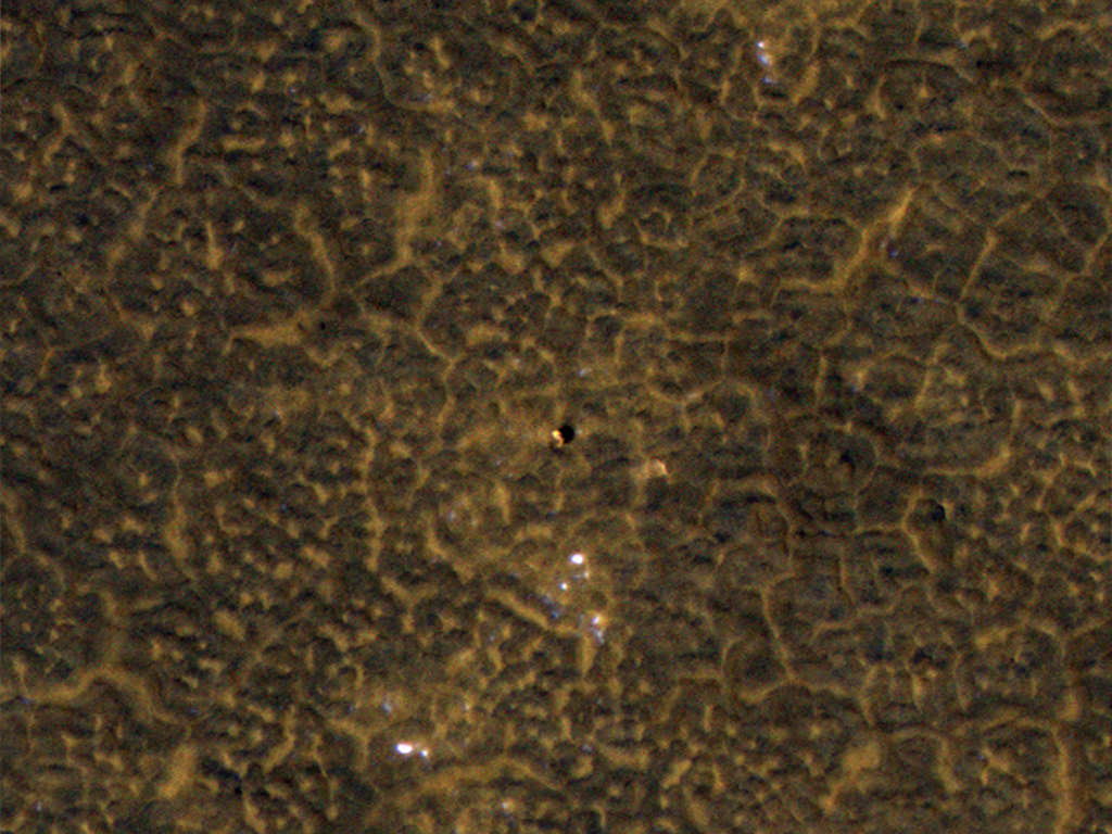
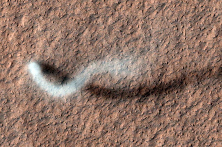
Mars orbiters, rovers and landers have all captured devils in action before. But this latest shot is a whopper (to speak in the vernacular of the peasantry…*) – not to mention incredibly awesome! The HiRISE camera (High Resolution Imaging Science Experiment) on the Mars Reconnaissance Orbiter has taken an image of an afternoon whirlwind on Mars lofting a twisting column of dust more than 800 meters (about a half a mile) high, with the dust plume about 30 meters or yards in diameter.
HiRISE captured the image on Feb. 16, 2012, in the Amazonis Planitia region of northern Mars. Evidence of many previous whirlwinds, or dust devils, are visible as streaks on the dusty surface shown in the image.
Scientists from JPL said the active dust devil and its delicate arc were produced by a westerly breeze partway up its height.
Just like on Earth, winds on Mars are powered by solar heating. However, Mars is now farthest from the Sun, and even though the exposure to the Sun’s rays is now less, even so, the dust devils are moving dust around on Mars’ surface.
Dust devils occur on Earth as well as on Mars. They are spinning columns of air, made visible by the dust they pull off the ground. Unlike a tornado, a dust devil typically forms on a clear day when the ground is heated by the sun, warming the air just above the ground. As heated air near the surface rises quickly through a small pocket of cooler air above it, the air may begin to rotate, if conditions are just right.
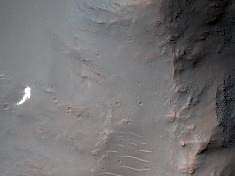
MRO and HiRISE continue to provide insights into the planet’s ancient environments and how processes such as wind, meteorite impacts and seasonal frosts continue to affect the Martian surface today. This mission – operating since 2006 in Mars orbit – has returned more data about Mars than all other orbital and surface missions combined.
See more images on the HiRISE website.
Source: JPL
*A free subscription to Universe Today for anyone who can name where that quote is from.