
Here are some cool pictures of islands… from space!
[/caption]
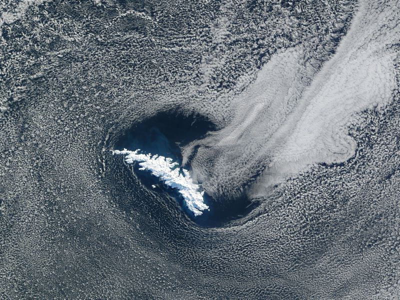
This is a picture of South Georgia Island, one of the southernmost islands in the world, off the tip of South America. It was used as a whaling base and now has no permanent inhabitants, other than some scientists. In this picture, taken by NASA’s Terra satellite, the entire island is covered in snow. Here are some more island pictures.

This is a picture of Surtsey Island, captured by the IKONOS satellite. This volcanic island is one of the newest in the world, breaking through the surface of the ocean in 1963. The volcanoes that formed the island erupted for about 4 years and then stopped, and now erosion from the ocean is wearing it back down again.

Next in our pictures of islands is Ascension Island. You can see the airstrip down on the lower right side of the island, and a cinder cone above it. The northern part of the island has lava flows and you can see individual clouds above the island. Ascension Island is one of the space shuttle’s alternative landing sites.

Here’s a picture of a completely man made island. This is Palm Island, off the coast of Dubai in the United Arab Emirates. Now complete, it has palm fronds surrounded by a circular breakwater. There will eventually be more than 100 luxury hotels, marinas, water theme parks, and many houses.

This is a picture of Akpatok Island, in Northern Quebec, which is accessible only by air. The picture was taken by a Landsat satellite.
We have written many articles about islands for Universe Today. Here’s an article about the biggest island on Earth, and here are more pictures of islands from space.
You can find many more pictures from NASA’s Earth Observatory site.
We have recorded a whole episode of Astronomy Cast just about our planet. Listen to it here, Episode 51: Earth.