The ESA’s Mars Rover Gets a New Map

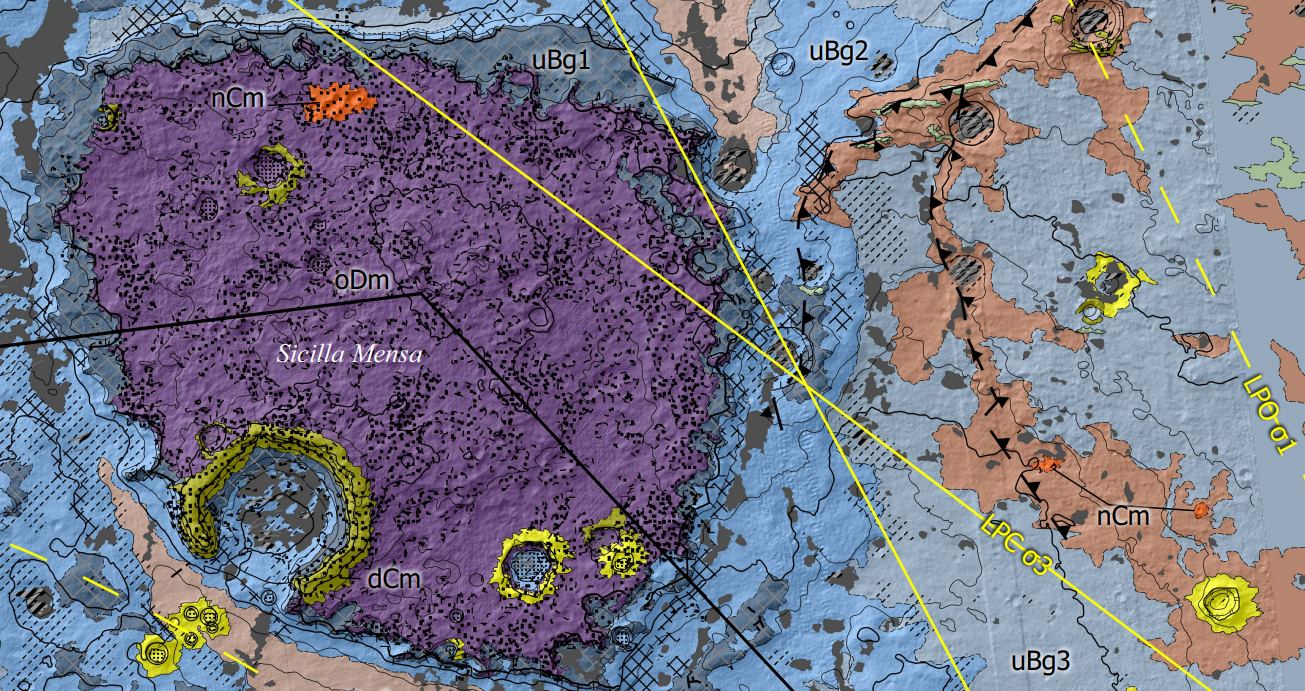
European scientists have created an extremely detailed geological map of Oxia Planum, the landing site for the ESA's Rosalind Franklin rover. Not only will it help guide the rover's driving, it will help the rover sample the most promising sites. Image Credit: Fawdon et al. 2024.

Rosalind Franklin, the ESA’s Mars rover, is scheduled to launch no sooner than 2028. Its destination is Oxia Planum, a wide clay-bearing plain to the east of Chryse Planitia. Oxia Planum contains terrains that date back to Mars’ Noachian Period, when there may have been abundant surface water, a key factor in the rover’s mission.

Continue reading “The ESA’s Mars Rover Gets a New Map”

Underwater Robot Captures its First Sample 500 Meters Below the Surface of the Ocean

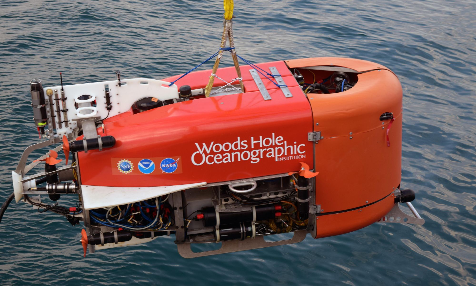
The underwater robot Nereid Under Ice (NUI) being lowered into the Aegean Sea. NUI became the first underwater vehicle to take an automated sample from the sea floor. Image Credit: Evan Lubofsky, Woods Hole Oceanographic Institution

The Woods Hole Oceanographic Institution (WHOI) says their underwater robot has just completed the first-ever automated underwater sampling operation. The robot is called Nereid Under Ice (NEI) and it collected the sample in Greece. WHOI is developing Nereid in association with NASA’s Planetary Science and Technology from Analog Research (PSTAR) program.

Continue reading “Underwater Robot Captures its First Sample 500 Meters Below the Surface of the Ocean”