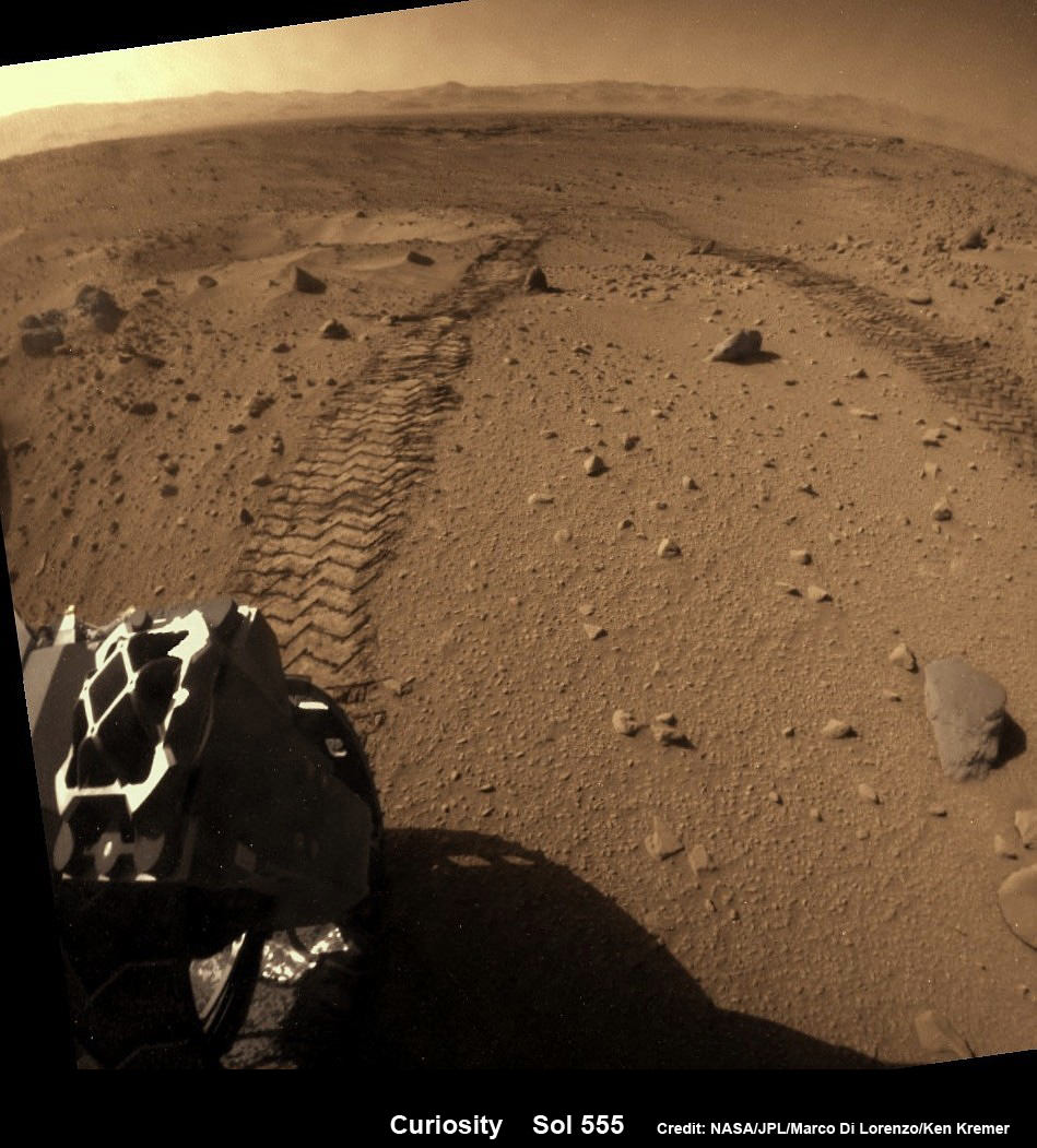
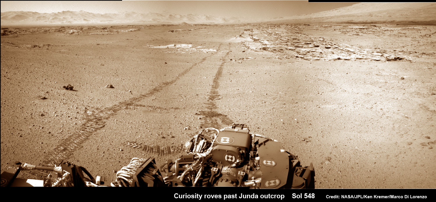
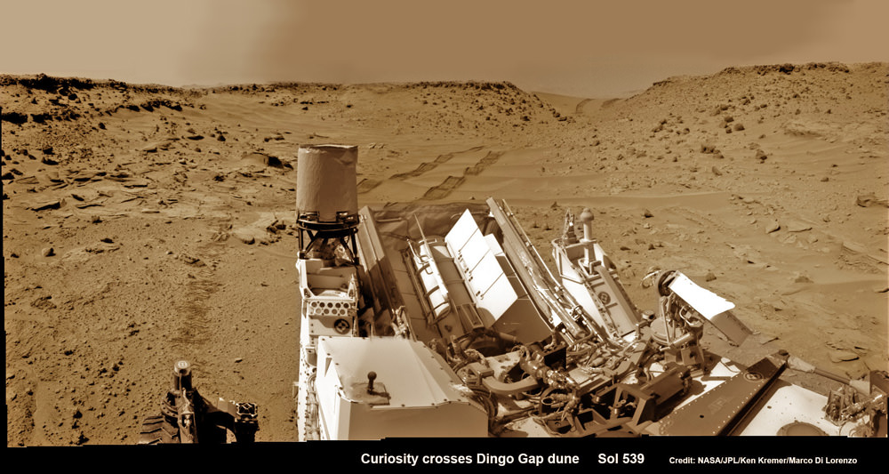
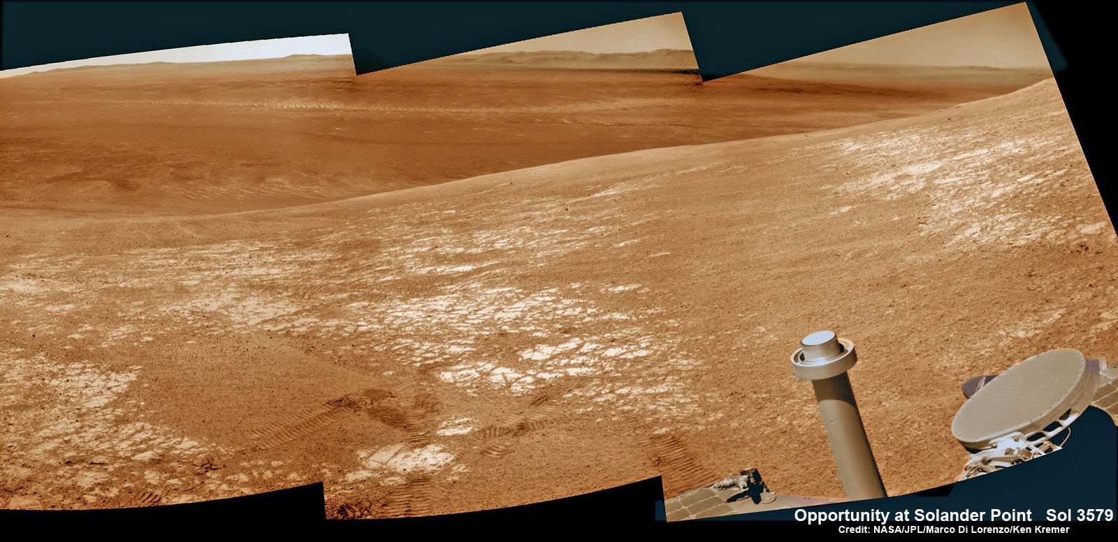
Driving, Driving, Driving – that’s the number one priority for NASA’s rover Curiosity as she traverses across the floor of Gale Crater towards towering Mount Sharp on an expedition in search of the chemical ingredients of life that could support Martian microbes if they ever existed.
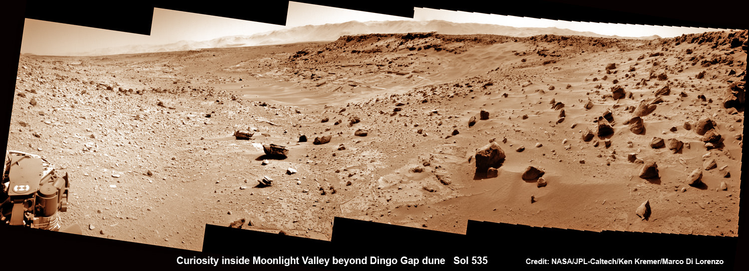
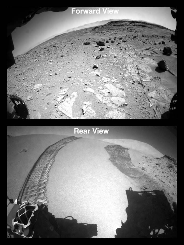
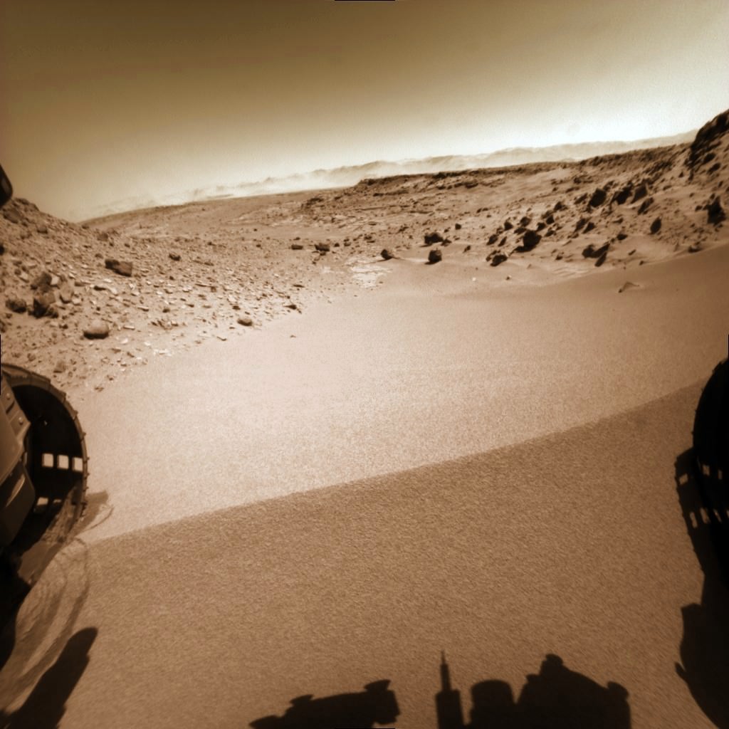
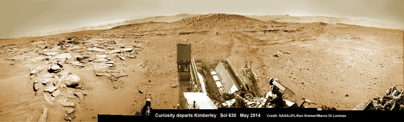
See our photo mosaics above and below showing the 1 ton rover trundling across the alien terrain of Mars – our Solar Systems most Earth-like planet and leaving behind dramatic wheel tracks in her wake.
“The top priority for MSL continues to be the traverse toward the base of Mt. Sharp,” wrote science team member Ken Herkenhoff in a mission update.
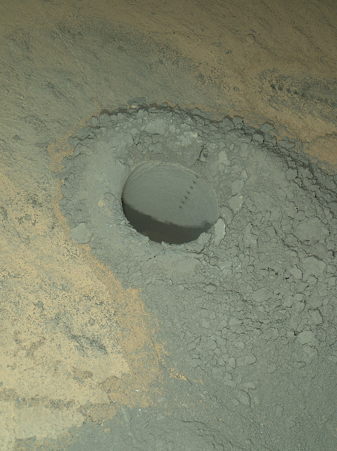
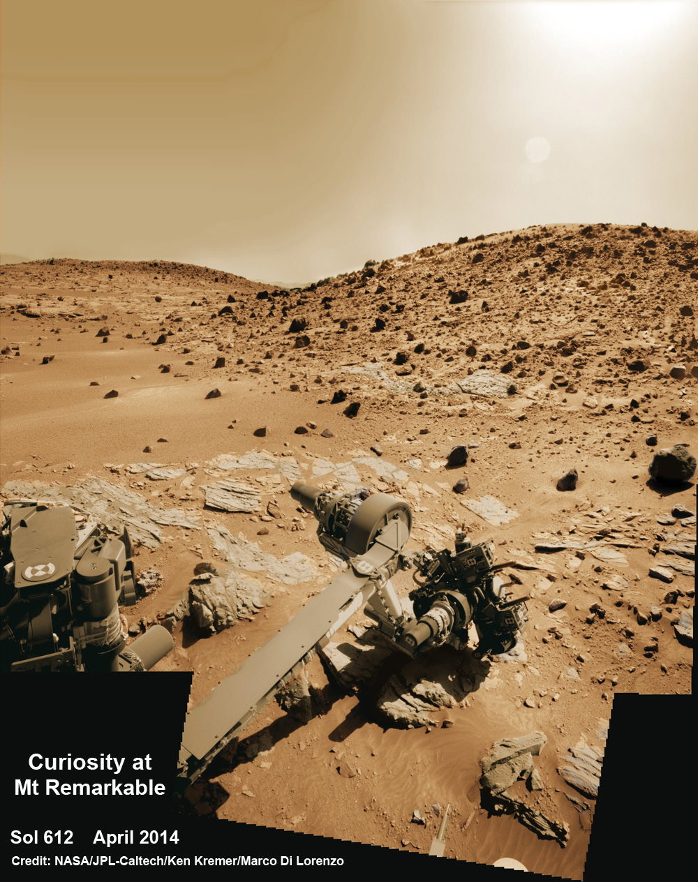
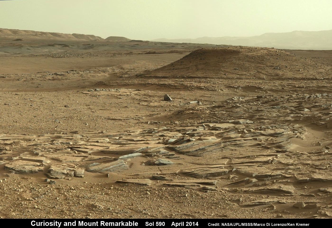
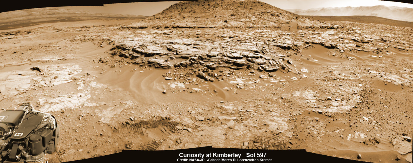
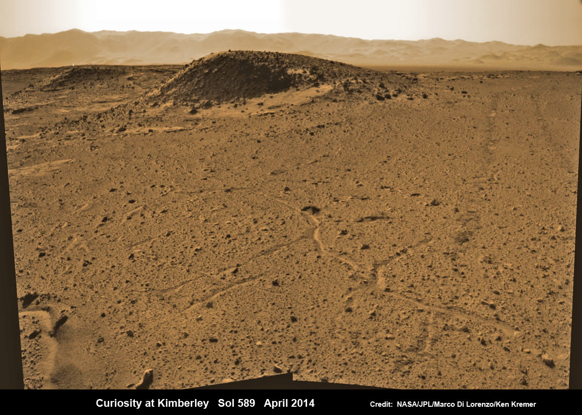
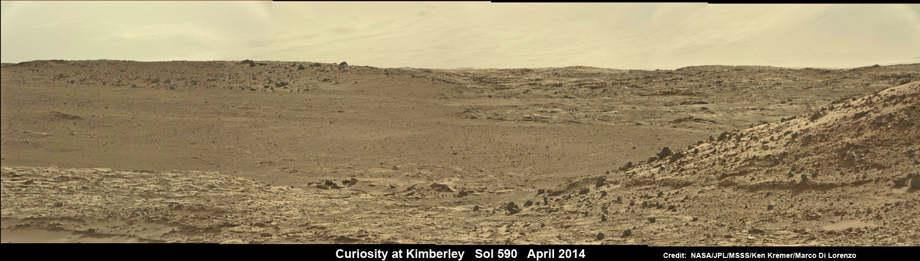
Curiosity has been on the move since mid-May after successfully completing her 3rd Martian drill campaign at a science stopping point called “The Kimberley” where she bored a fresh hole into the ‘Windjama’ rock target on May 5, Sol 621 at the base of Mount Remarkable.
“Progress has been good since leaving The Kimberley,” Herkenhoff added.

The lower reaches of Mount Sharp are the rovers ultimate goal because the sedimentary layers are believed to hold caches of water altered minerals based on high resolution measurements obtained by the CRISM spectrometer aboard NASA’s powerful Martian ‘Spysat’ – the Mars Reconnaissance Orbiter (MRO) – soaring overhead.
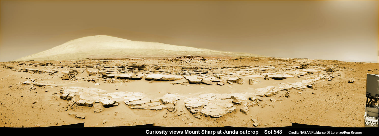
Investigating mysterious Mount Sharp is why Gale Crater was chosen as the landing site because the mountain holds clues to the habitability of the Red Planet.
Mars was far wetter and warmer – and more conducive to the origin of life – billions of years ago.
The six-wheeled rover has been traveling with all deliberate speed to get to the mountain with minimal science along the way.
“[Curiosity conducted] a 129-meter drive on Sol 662 (June 17),” says Herkenhoff.
“We successfully planned a rapid traverse sol last week, in which scientific observations are limited in favor of maximizing drive distance.”
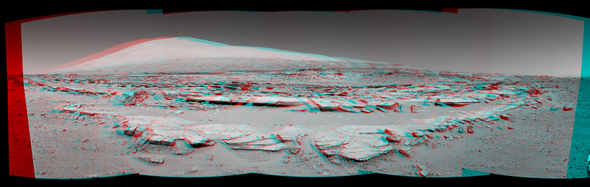
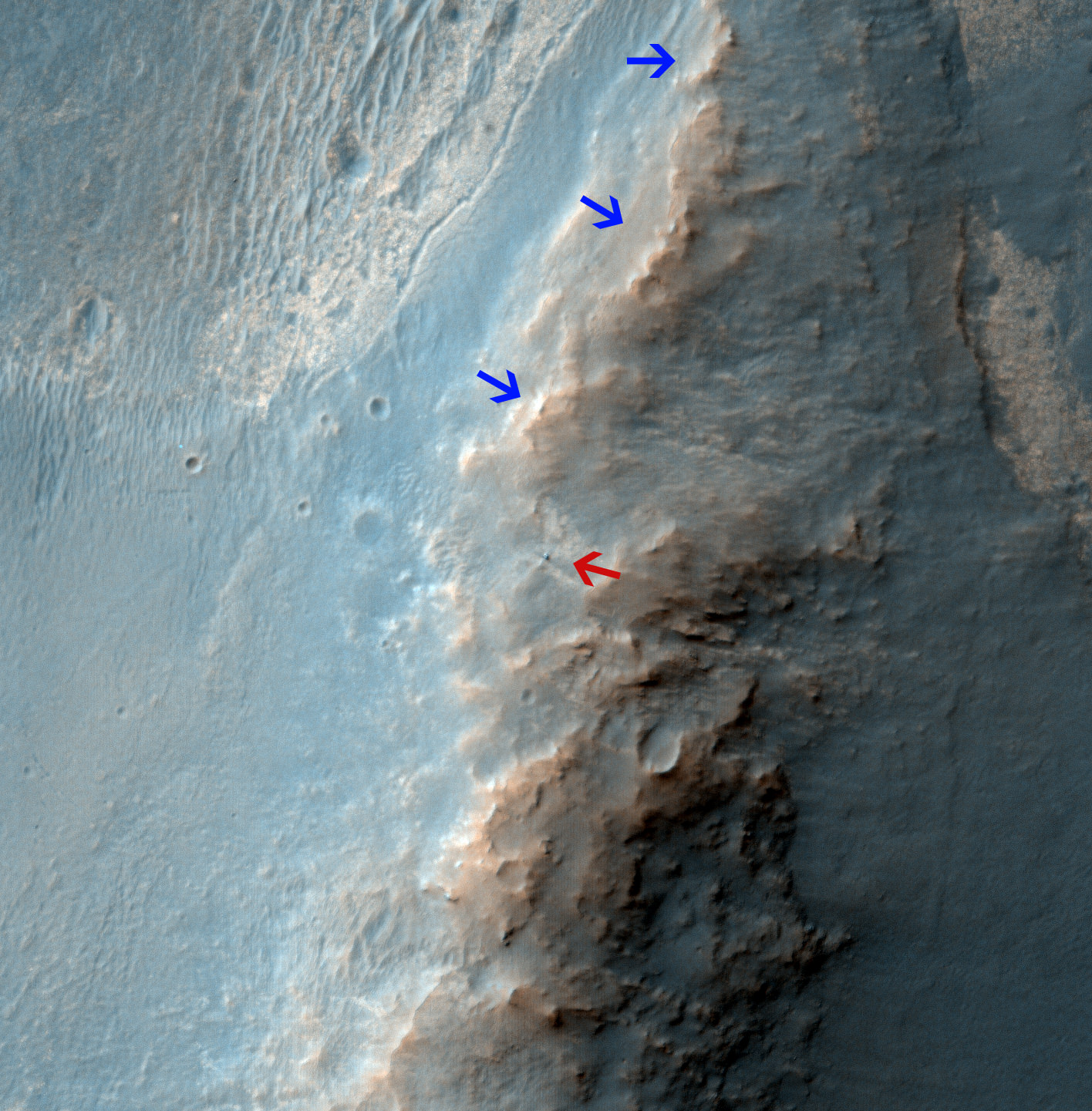
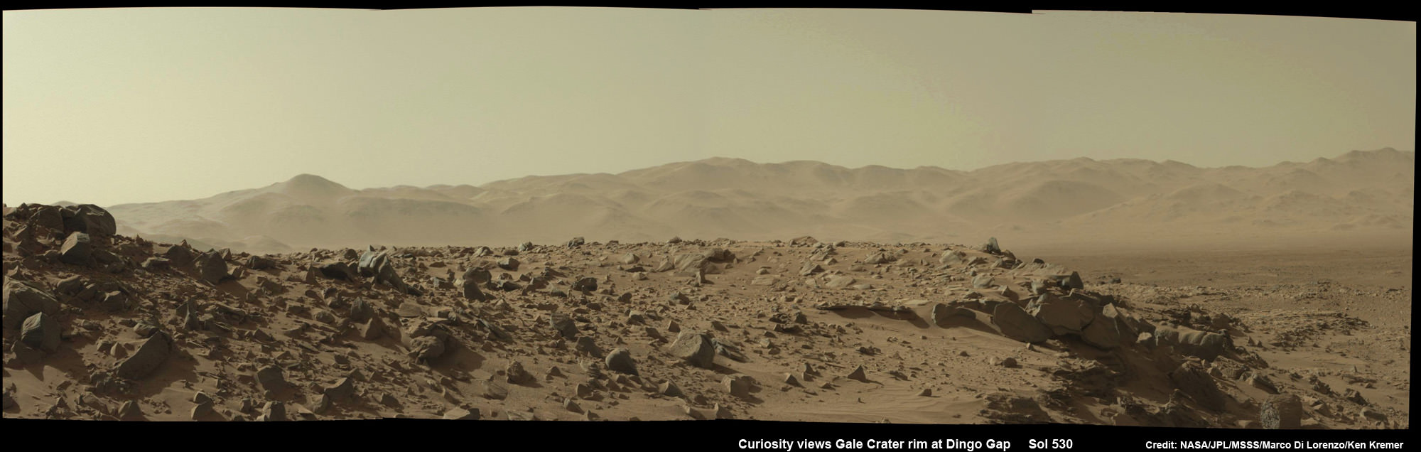
Curiosity is driving on a path towards the ‘Murray Buttes’ – which lies across the dark and potentially treacherous dunes on the right side of Mount Sharp as seen in our photo mosaic above from Sol 651.
She will eventually ascend the mountain at the ‘Murray Buttes’ after the team locates a spot to carefully cross the sand dunes.
The fresh hole drilled into “Windjana” was 0.63 inch (1.6 centimeters) in diameter and about 2.6 inches (6.5 centimeters) deep and resulted in a mound of dark grey colored drill tailings piled around. It looked different from the initial two holes drilled at Yellowknife Bay in the spring of 2013.
Windjana was a cold red slab of enticing bumpy textures of Martian sandstone located at the base of ‘Mount Remarkable’ within the “The Kimberley Waypoint” region.

The first two drill campaigns involved boring into mudstone outcrops at Yellowknife Bay.
Windjana lies some 2.5 miles (4 kilometers) southwest of Yellowknife Bay.
Curiosity then successfully delivered pulverized and sieved samples to the pair of onboard miniaturized chemistry labs; the Chemistry and Mineralogy instrument (CheMin) and the Sample Analysis at Mars instrument (SAM) – for chemical and compositional analysis.
Chemical analysis and further sample deliveries are in progress as NASA’s rover is ‘on the go’ to simultaneously maximize movement and research activities.
The science and engineering team has deliberately altered the robots path towards the foothills of Mount Sharp which reaches 3.4 miles (5.5 km) into the Martian sky – taller than Mount Ranier.
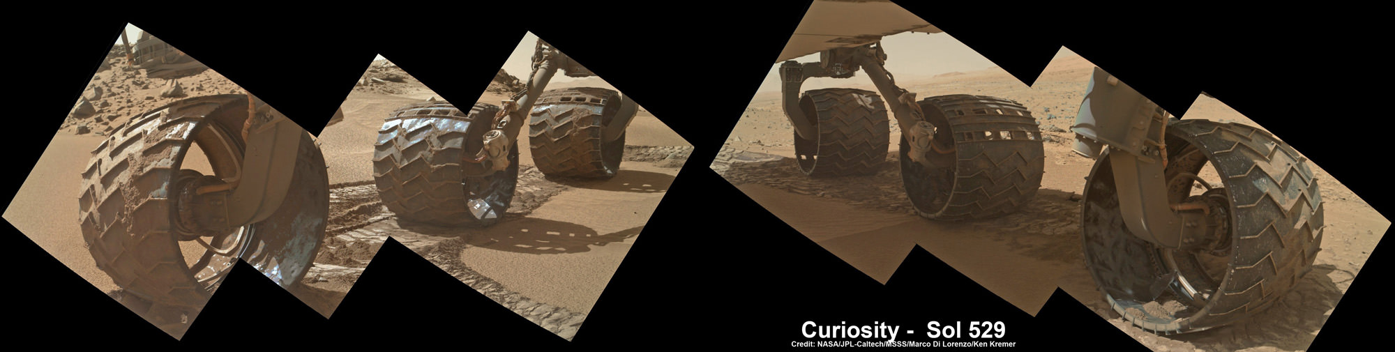
The team decided to follow a new path to the mountain with smoother terrain after sharp edged rocks caused significant damage in the form of dents and holes to the robots 20 inch wide aluminum wheels.
The wheel punctures happened faster than expected in 2013 and earlier this year.
Curiosity still has about another 2.4 miles (3.9 kilometers) to go to reach the entry way at a gap in the dunes at the foothills of Mount Sharp sometime later this year.
To date, Curiosity’s odometer totals over 7.9 kilometers (4.9 miles) since landing inside Gale Crater on Mars in August 2012. She has taken over 159,000 images.
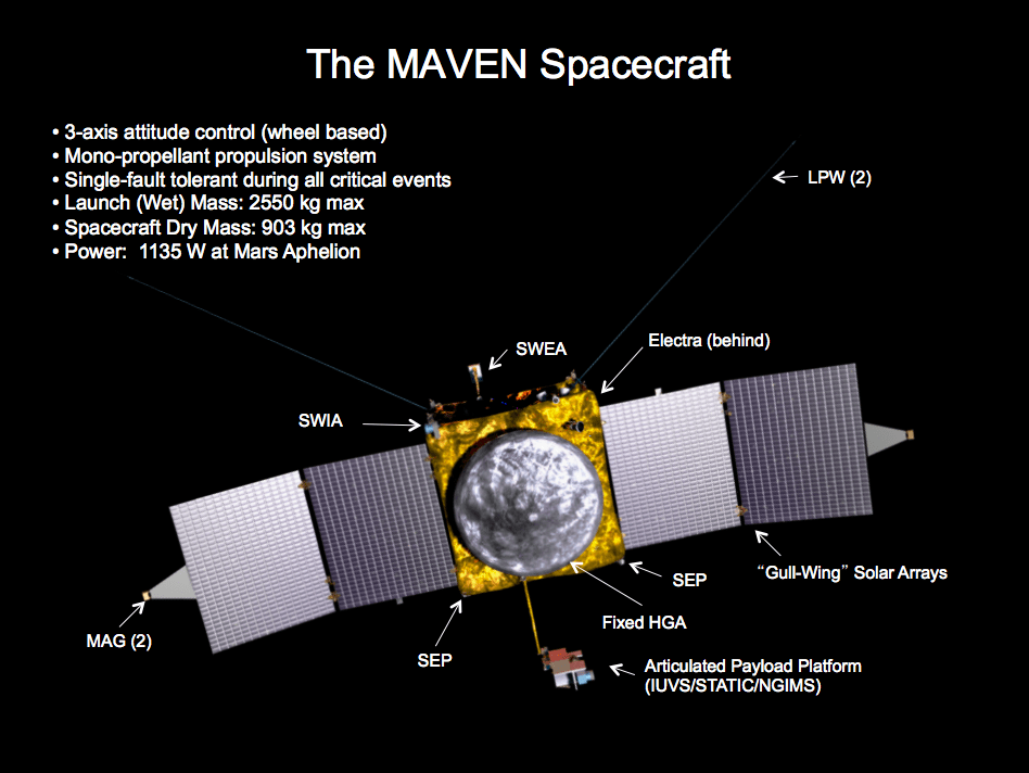
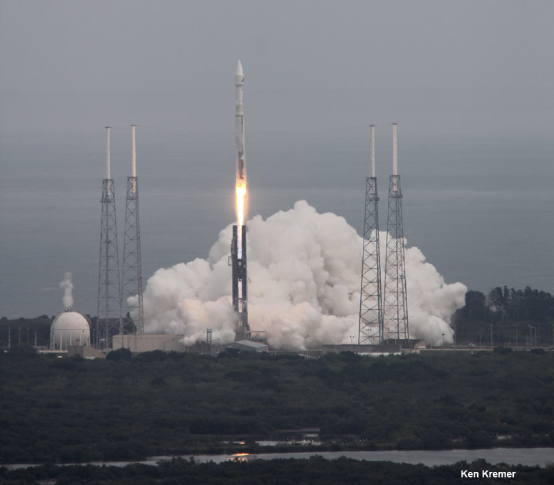
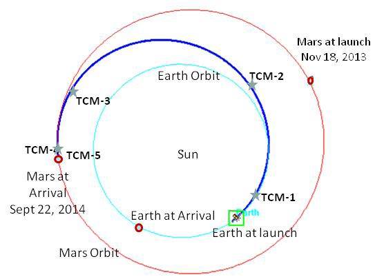
Stay tuned here for Ken’s continuing Curiosity, Opportunity, Orion, SpaceX, Boeing, Orbital Sciences, commercial space, MAVEN, MOM, Mars and more planetary and human spaceflight news.

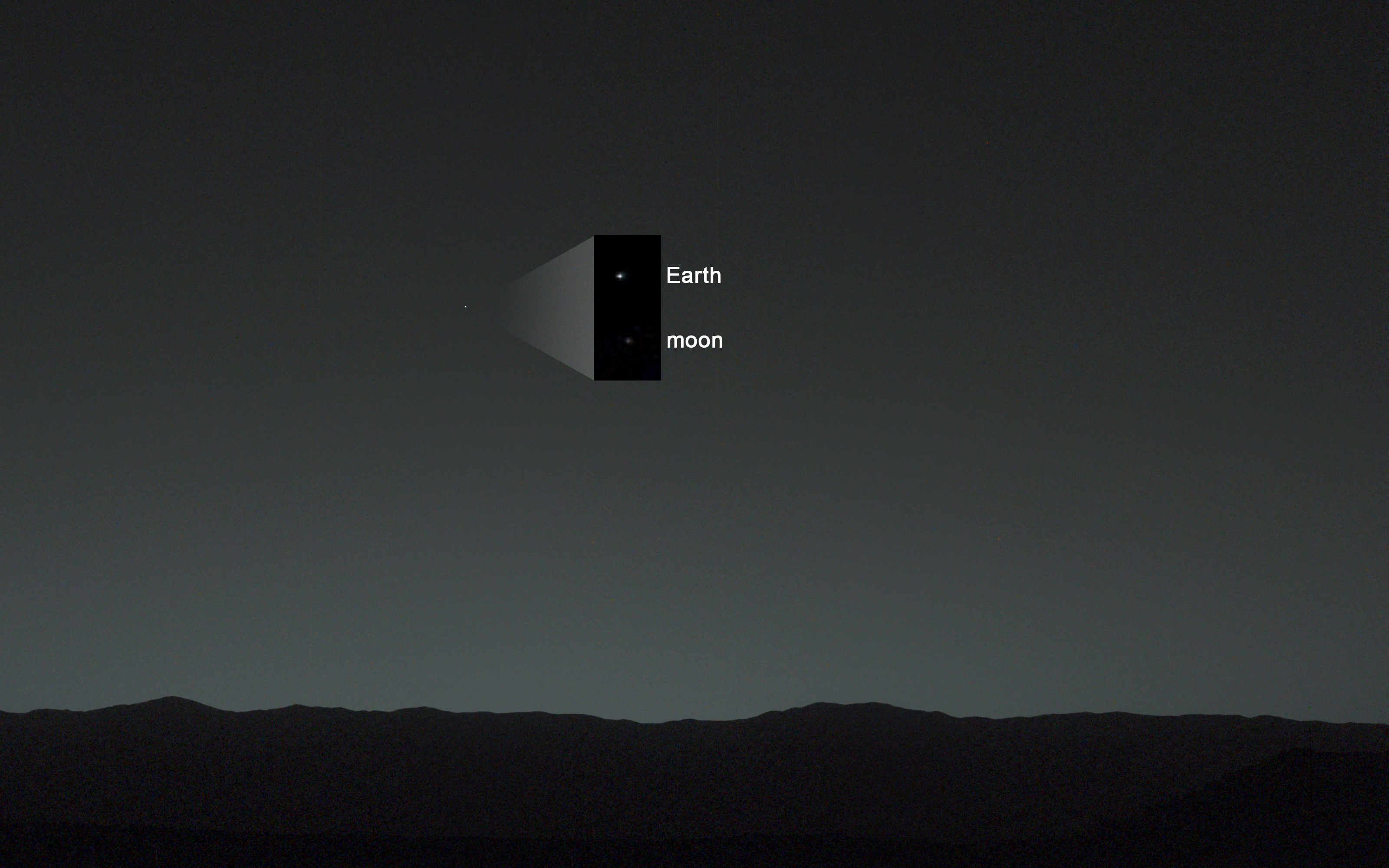
Featured on APOD – Astronomy Picture of the Day on May 7, 2014

…………….
Learn more about NASA’s Mars missions, upcoming sounding rocket and Orbital Sciences Antares ISS launch from NASA Wallops, VA in July and more about SpaceX, Boeing and commercial space and more at Ken’s upcoming presentations
June 25: “Antares/Cygnus ISS Launch (July 10) and Suborbital Rocket Launch (June 26) from Virginia” & “Space mission updates”; Rodeway Inn, Chincoteague, VA, evening