
Series of images from the Japanese MTSAT satellite showing a shadow on Earth during the total solar eclipse on November 13/14. 2012. Credit: JAXA
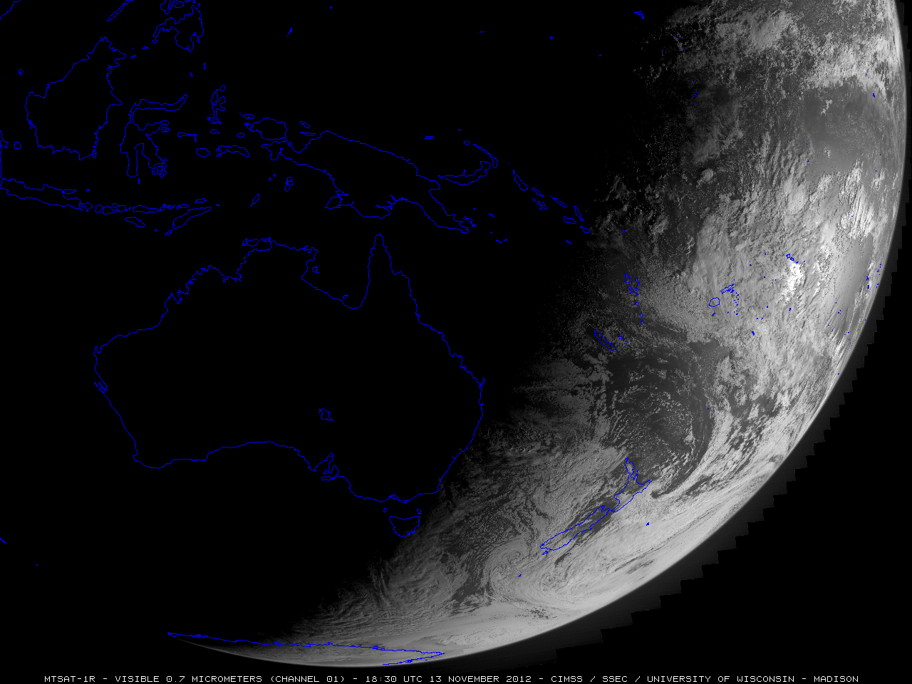
A Japanese meteorology satellite captured the moving shadow from the total solar eclipse this week, and this animated series of images shows the shadow moving east-southeast across northeastern Australia and into the waters of the South Pacific Ocean. The images were taken by the MTSAT-1R in the 0.7 micrometer visible channel, as the Moon moved between the Sun and the Earth, blocking the Sun’s light. (Click on the image above if it is not animating in your browser).
The solar eclipse shadow was also visible from an image taken by the Korean COMS-1 satellite, and one of the GOES satellites operated by NASA and NOAA, seen below.

Image taken from the Korean COMS-1 satellite during the total solar eclipse on November 13/14. 2012.
Starting just after dawn in Australia, the eclipse cast a 150-kilometer (95-mile) shadow in Australia’s Northern Territory, crossed the northeast tip of the country and moved out across the South Pacific. As this was a total solar eclipse, the Moon completely covered the Sun, with just the Sun’s corona peeking out around the rim; totality lasted about 2 minutes. A partial eclipse was visible from east Indonesia, the eastern half of Australia, New Zealand, Papua New Guinea and southern parts of Chile and Argentina.

Image from the GOES-15 satellite showing the eclipse’s shadow on Earth. Credit: NASA/NOAA
See our gallery of images from people on the ground in Australia during the eclipse.