Antarctica is one of the most remote places on Earth, and extremely difficult to visit. But there are many spacecraft constantly watching the southern continent, studying its climate and geography. Here are some amazing Antarctica pictures from space.
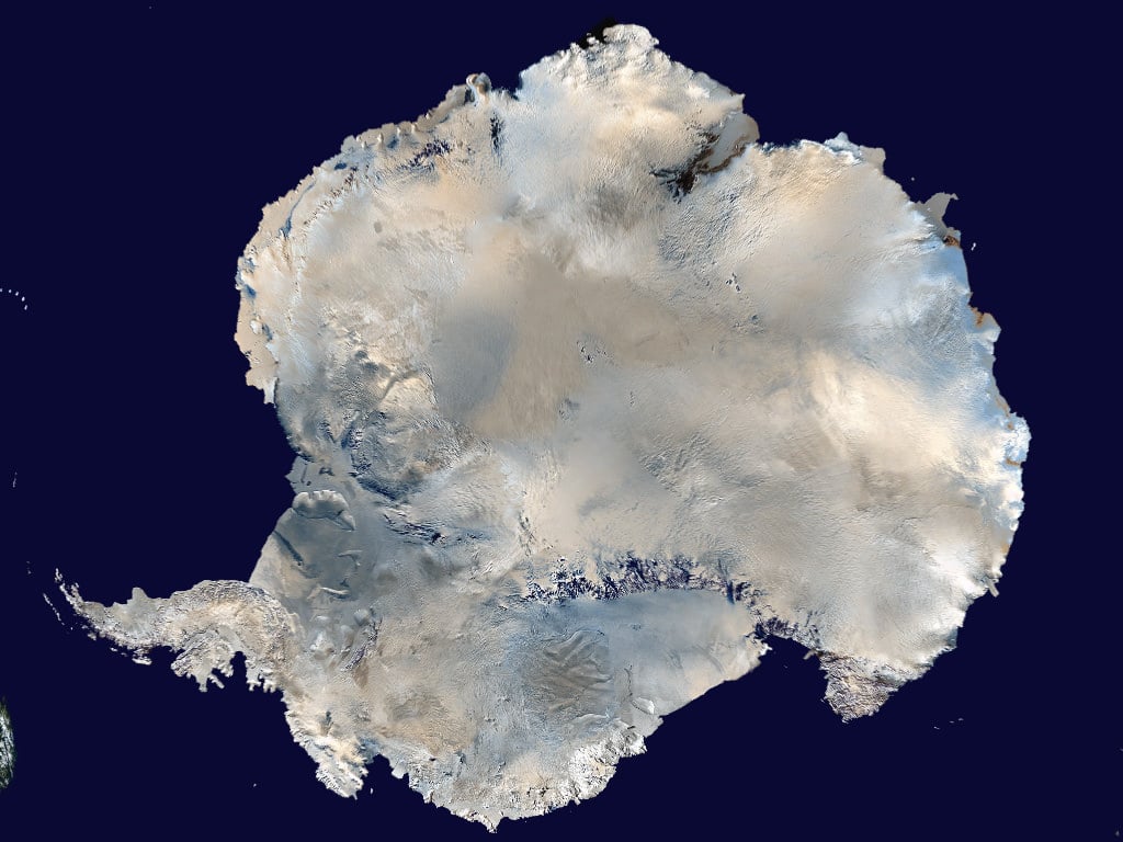
Here's a picture of the entire continent of Antarctica seen from space. It was captured piece by piece by several spacecraft, and then stitched together into this amazing mosaic image.
This is a close up view of Victoria Land, in Antarctica. It's a region of the continent that's bounded by the Ross Sea, and it was discovered by James Clark Ross.
This is a photo of Don Juan Pond, a tiny, extremely salty lake in Antarctica. It has a greater salinity than the Dead Sea or Lake Assal. It's estimated to be about 30 times saltier than the ocean. It's the only lake in Antarctica that never freezes.
This is an image of the Bellingshausen Sea in Antarctica. It's hard to see which parts of this image are over the ocean, and which parts are over the land.
This photograph shows the break up of the Larsen Ice Shelf in 2001.
We've written many articles about Antarctica for Universe Today. Here's an article about an
unusual micrometeorite found in Antarctica
, and here's an article about an
extremophile hunt in Antarctica
.
If you'd like more info on Antarctica, check out the
LIMA Mosaic Images of Antarctica site
, and here's a
nice photo of the entire continent
.
We've recorded several episodes of Astronomy Cast about Earth. Listen here,
Episode 51: Earth
.