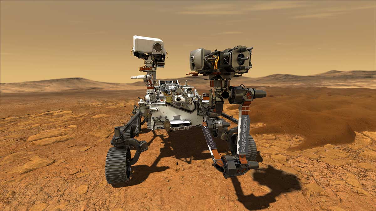
It's always a real benefit to have scientists on the ground, able to use the wealth of their experience and ingenuity to 'think on their feet'. It is therefore always quite challenging to use space probes that to a degree need to be autonomous. This is certainly true of the NASA Perseverance Rover that has been drilling core samples that will one day (hopefully) be returned to Earth as part of the Mars Sample Return mission. Until then, a team of Geologists have developed a technique to calculate the orientation of the core samples to help with future analysis.
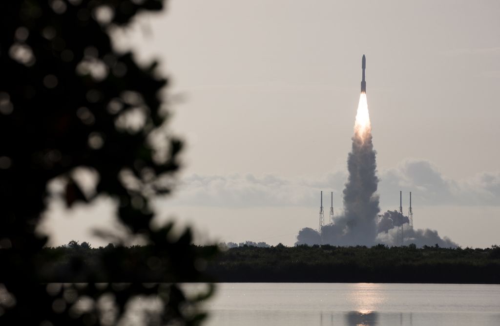
The journey of Mars Perseverance began on 30 July 2020 when it was launched off to the red planet. Arriving less than a year later on 18 February 2021, the rover carried with it an array of instrumentation. Its goal to explore the past habitability of Mars, looking for signs of ancient microbial life and helping to pave the way for future human exploration.
One instrument in particular, the Sample Caching System, gathered and stored rock and soil samples for the potential return to Earth by future missions. Perseverance and the Ingenuity drone have been exploring the Jezero crater, an ancient lake bed since. To date, 20 of the 43 tubes have been filled with core bedrock samples and a team of geologists have been looking at the original orientation of the samples to help answer questions about the planet's past.
The research, which appeared in Earth and Space Science journal by lead authors Benjamin P. Weiss and Elias N. Mansbach explains that the team have identified the original orientation of the majority of the samples collected so far. This crucial bit of information will help geologists to understand the magnetic field that may have existed at the time the rocks formed, how water and lava has flowed, the direction of wind and the tectonic processes that were going on too.
Using data from the rover itself including its location and the positioning of the drill it was possible to calculate the orientation of the bedrock sample before it was drilled out. This will be the first time scientists have managed to orient the rock samples from another world. By completing the process for a number of samples at different locations will give clues to the conditions on Mars when the rocks formed.
The challenge was made more difficult by the mechanism that extracted the sample. A tube shaped drill is screwed into the ground at a 90 degree angle and then the sample is pulled directly out along with the rock. To be able to reorient the sample with the original location the team take what is effectively pitch, roll and yaw of a boat or aircraft. Using pictures and aligning with true north the team could calculate the original orientation. They also used distinguishing surface features in the area that would help with location identification. If perchance they were in an area devoid of any feature then the onboard laser would mark an 'L' into the rock before taking the sample.
Source : Study determines the original orientations of rocks drilled on Mars
