
Along with all of their space-exploration, planet-hunting, and astronomy-based endeavours, NASA also keeps a very keen eye on Earth. In fact, they have 18 satellites whose job it is to look only at Earth. And those 18 advanced satellites are helping us understand Earth in unprecedented scientific detail.
And they take pretty pictures, too.
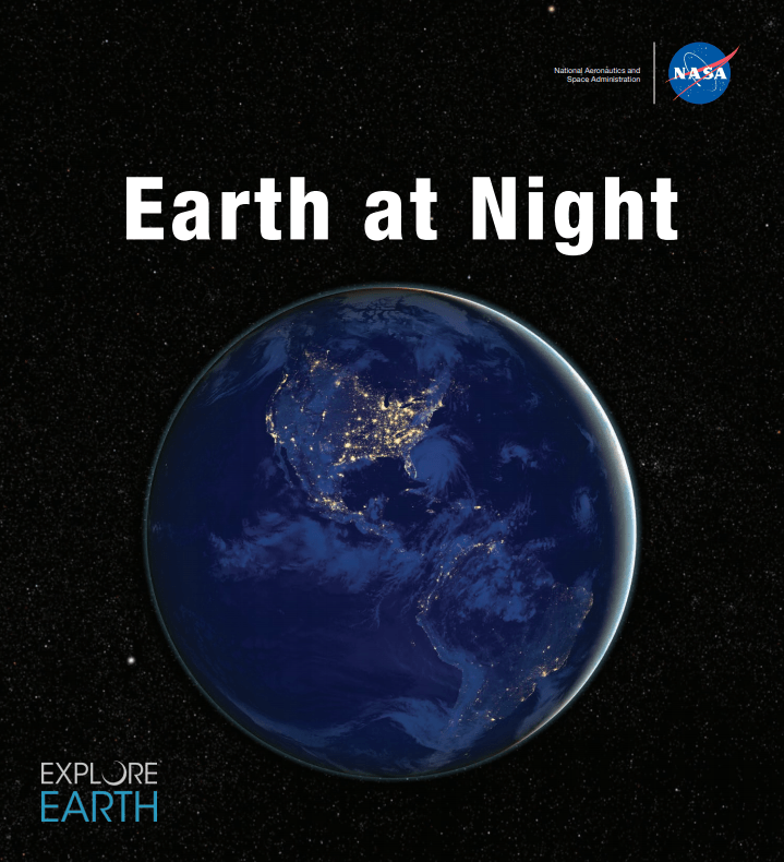
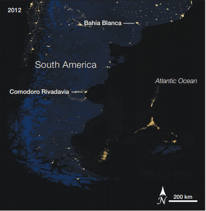
NASA just released a night-time composite satellite image of North and South America. The image features data from the Suomi NPP (Suomi National Polar-orbiting Partnership) satellite overlaid on Blue Marble imagery of Earth. The image is from NASA's e-book Earth At Night.
Satellite imagery of Earth serves two purposes, and NASA is well aware of that. They provide crucial scientific information about the health of our planet and our activities and presence on Earth. But they also provide inspiring images for we non-scientists. And NASA hopes more of us find it engaging.
"Science not only changes what we know, but also how we think about our place in the cosmos." NASA Associate Administrator Thomas Zurbuchen.
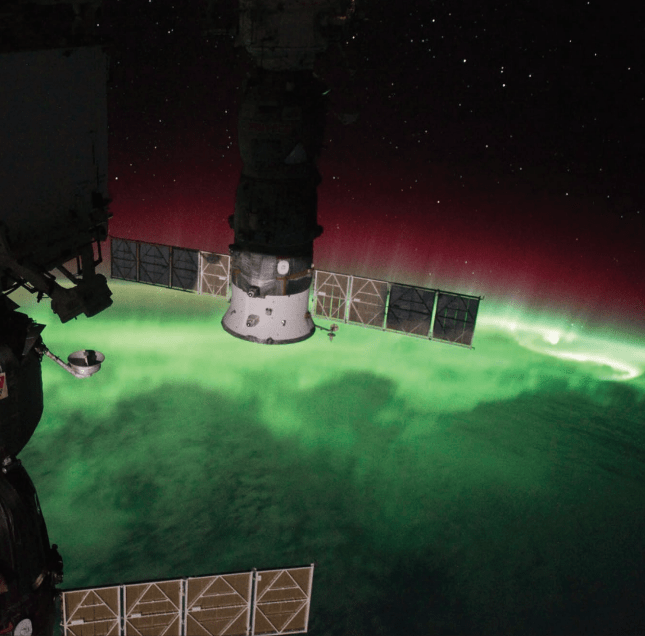
In the foreword to their Earth At Night e-book, NASA Associate Administrator Thomas H. Zurbuchen said, "Our home planet is full of complex and dynamic cycles and processes. These soaring observers show us new ways to discern the nuances of light created by natural and human-made sources, such as auroras, wildfires, cities, phytoplankton, and volcanoes."
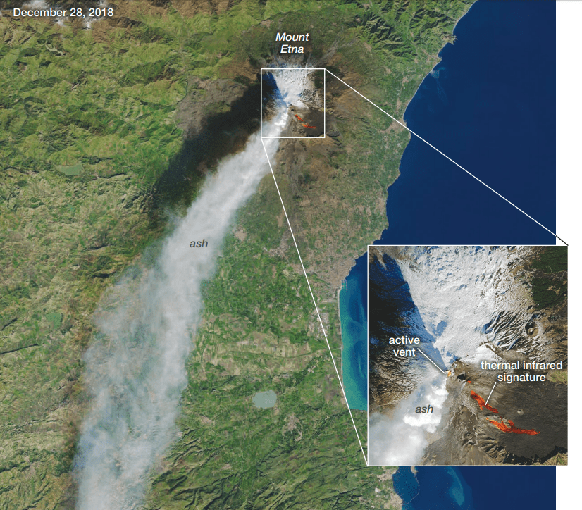
There are daytime images in the e-book, but the bulk of them are night-time images, and they show how we have shaped the Earth as we inhabit it. The night-time images rely largely on Suomi NPP's Visible Infrared Imaging Radiometer Suite (VIIRS.) Its "day-night band" works across a range of wavelengths and uses filters that allow features like city lights, gas flares, auroras, wildfires and reflected moonlight to come to the forefront. That level of detail helps make these images so compelling.
Some of the satellite images show how our resource extraction activities are widespread across Earth. Things like oil well fires and flaring, and even fishing show up in the images. They can provide important information on the status of fisheries and catch rates of certain species.
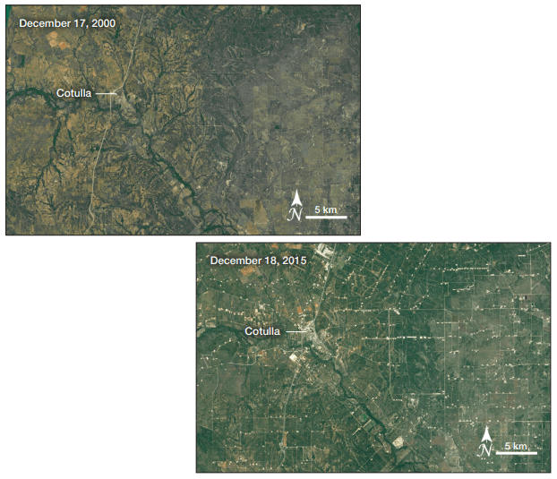
Some of the images in Earth at Night show how quickly an area can change when resources are discovered. The Eagle Ford Shale Play in Texas became an important source of hydrocarbons, and in a short time the surface was transformed. The change is apparent in both day and night time images.

NASA's Earth at Night e-book is a fascinating look at how the Earth has changed over the years. It shows in detail how our presence changes the Earth, and how the Earth has a life of its own, irregardless of our activities.
"Darkness is where dreamers and learners of all ages peer into the universe and think of questions about themselves and their space in the cosmos. Light is where they work, where they gather, and take time together." Thomas Zurbuchen, NASA Associate Administrator.
More:
- Press Release: Brilliance at Night: The Americas in Darkness
- NASA E-Book: Earth At Night
- NASA: Suomi NPP