
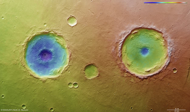
Figuring out the ancient climate on Mars has been tricky. While evidence gathered from orbit and on the surface seems to indicate there must have been a lot more water on Mars early in its history, questions remain on how much water and in what form.
A new study has now quantified the amount of precipitation needed to create many of the landforms visible today on Mars surface. The paper, published in the journal Geology says there was enough rainfall and snowmelt to fill lakebeds and river valleys 3.5 to 4 billion years ago on the Red Planet, and that precip must have occurred worldwide.
Continue reading “It Rained So Hard on Ancient Mars that Craters Filled Up and Overflowed”