These diagrams show a set of possible routes a spacecraft could take between different regions near to the Moon. Image via a new paper by Danny Owen and Nicola Baresi.
When a spacecraft arrives at its destination, it settles into an orbit for science operations. But after the primary mission is complete, there might be other interesting orbits where scientists would like to explore. Maneuvering to a different orbit requires fuel, limiting a spacecraft’s number of maneuvers.
Researchers have discovered that some orbital paths allow for no-fuel orbital changes. But the figuring out these paths also are computationally expensive. Knot theory has been shown to find these pathways more easily, allowing the most fuel-efficient routes to be plotted. This is similar to how our GPS mapping software plots the most efficient routes for us here on Earth.
The Deep Space Atomic Clock, a new technology from NASA's JPL, may change the way spacecraft navigate in space. Launching in late June aboard the Orbital Test Bed satellite, on the SpaceX's Falcon Heavy rocket, descendants of the technology demonstration could be a key component of a self-driving spacecraft and a GPS-like navigation system at other worlds.Credit: General Atomics Electromagnetic Systems
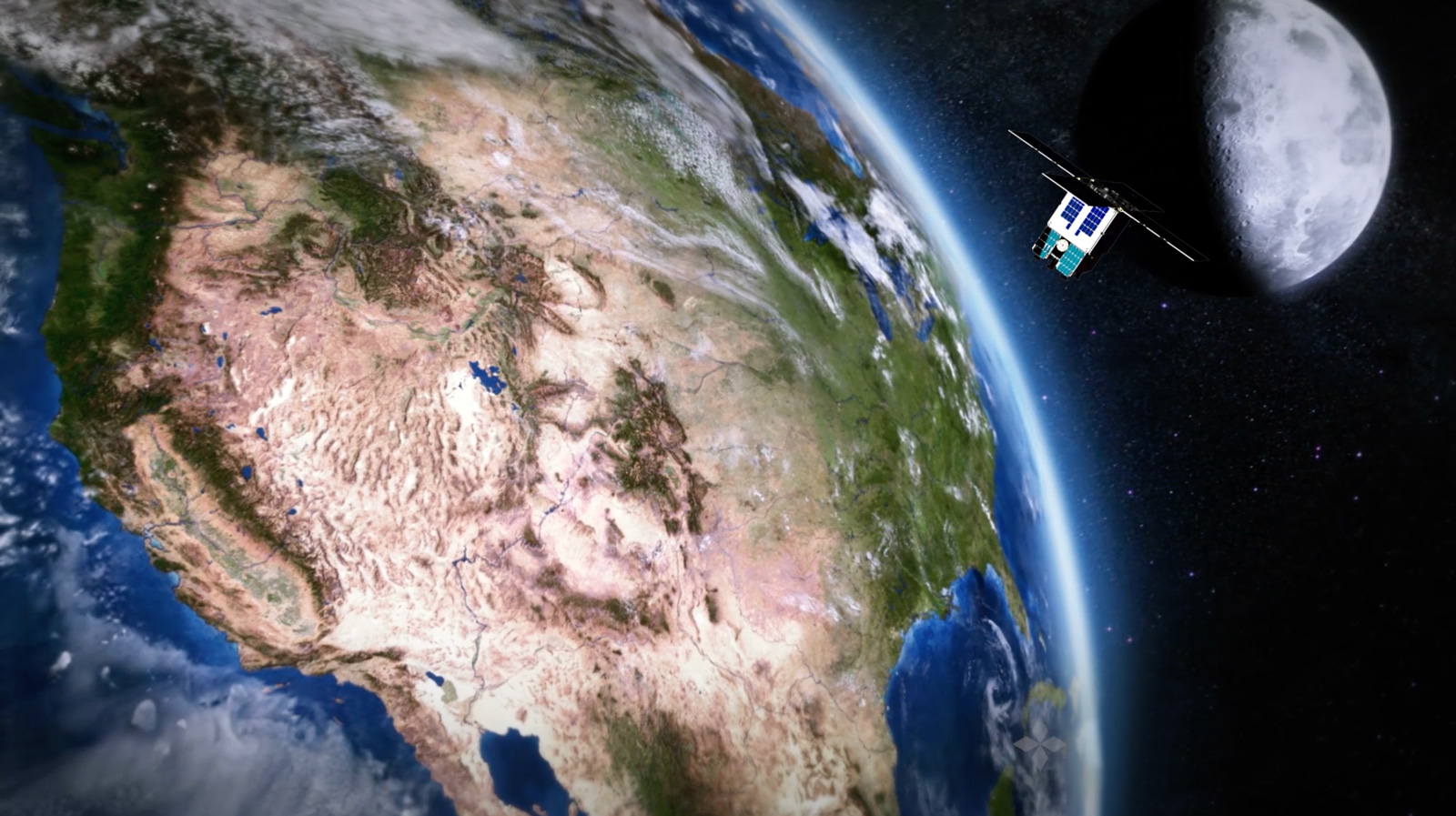
How do spacecraft know where they are? There’s no GPS out there. Right now, it involves sending a signal to the spacecraft which the spacecraft then sends right back to Earth. The elapsed time reveals the distance.
But on June 24th, that method could be replaced by something much more autonomous.
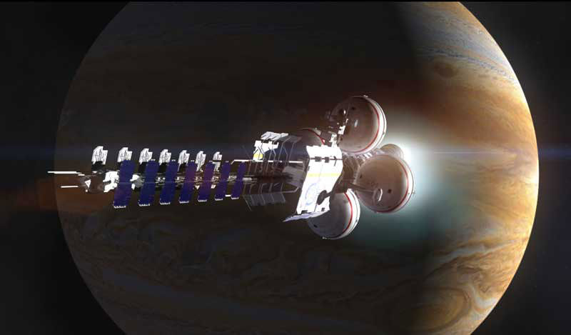
A spacecraft makes a close pass by Jupiter. Credit: Adrian Mann
Picture the scene: It’s the not too distant future and humanity has started to construct colonies and habitats all across our solar system. We’re gearing up to take that next big step into the unknown – actually leaving the cozy protection of the Sun’s heliosphere and venturing into interstellar space. Before this future can happen, however, there’s an important thing which is often overlooked in discussions on this subject.
Navigation.
Just as sailors once used the stars to navigate the sea, space travelers may be able to use the stars to navigate the solar system. Except that this time, the stars we’d use will be dead ones. A specific class of neutron stars known as pulsars, defined by the repeated pulses of radiation they emit. The trick, according to a recent paper, may be to use pulsars as a form of interplanetary – and possibly even interstellar – GPS.
Theories and ideas on spacecraft engines are plentiful. Foundations such as Icarus Interstellar keenly advocate the development of new propulsion systems, with some systems such as the VASIMR thrusters appearing rather promising. Meanwhile, fusion rockets are expected to be able to take passengers on a round trip from Earth to Mars in just 30 days, and researchers elsewhere are working on real life warp drives, not unlike the ones we all know and love from the movies.
Interplanetary GPS
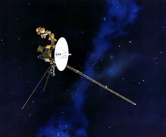
For Voyager 2, out on the edge of our Solar system, conventional navigation methods don’t work too well. Credit: NASA
But navigation is just as important. After all, space is mind-meltingly vast and mostly empty. The prospect of getting lost out in the emptiness is, frankly, terrifying.
To date, this hasn’t really been a problem, particularly seeing as we’ve only sent a small handful of craft past Mars. As a result, we currently use a messy mishmash of techniques to keep track of spacecraft from here on Earth – essentially tracking them with telescopes while relying heavily on their planned trajectory. This is also only as accurate as our instruments here on Earth are, meaning that as a craft gets more distant, our idea of where exactly it is becomes increasingly less accurate.
This is all well and good when we only have a few craft to track, but when space travel becomes more easily attainable and human passengers are involved, routing everything through Earth will start to become more and more difficult. This is particularly the case if we’re planning on leaving the confines of our home star – Voyager 2 is presently over 14 light hours away, meaning that Earth-based transmissions take over half a day to reach it.
Navigating Earth with modern technology is quite simple thanks to the array of GPS satellites we have in orbit around our world. Those satellites are constantly transitting signals which are, in turn, received by the GPS unit you may have on your car dashboard or in your pocket. As with all other electromagnetic transmissions, those signals travel at the speed of light, giving a slight delay between when they were transmitted and when they’re received. By using the signals from 4 or more satellites and timing those delays, a GPS unit can pinpoint your location on the surface of Earth with remarkable accuracy.
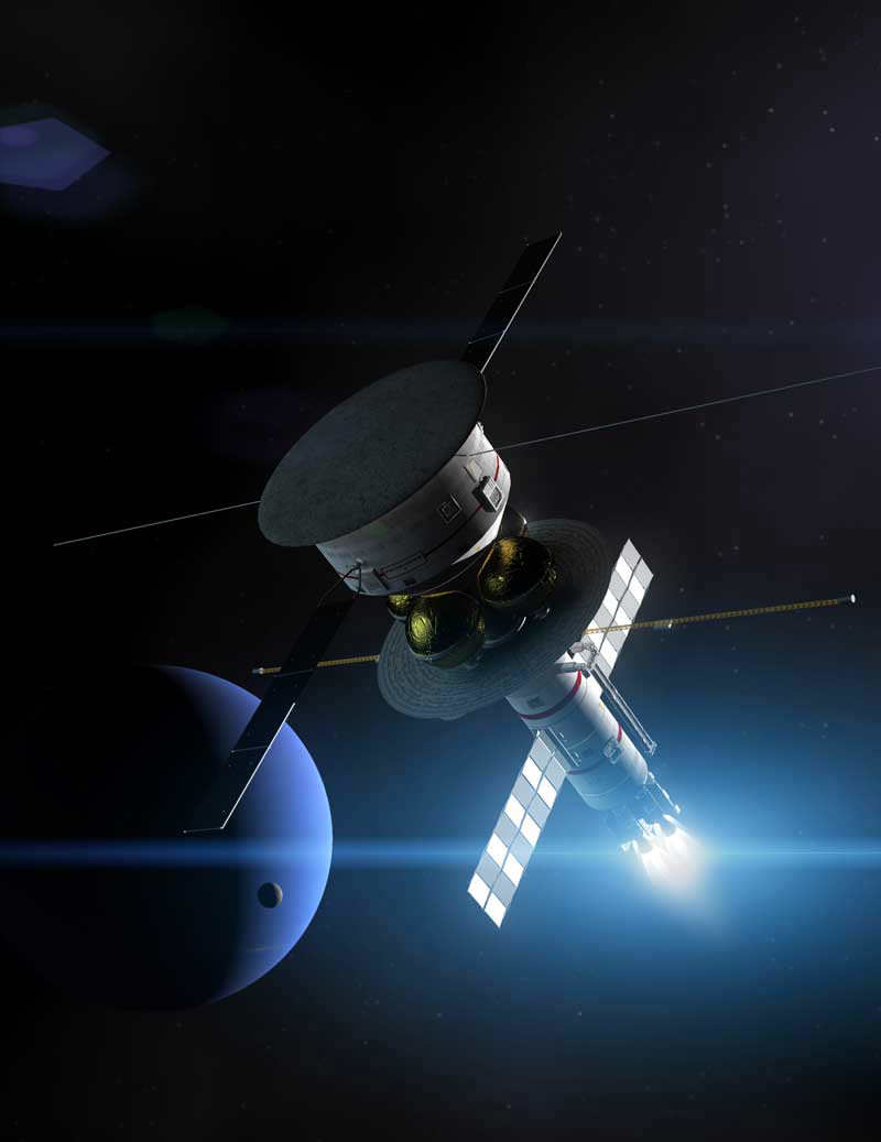
The Icarus Pathfinder starship passing by Neptune. Credit: Adrian Mann
The pulsar navigation system proposed by Werner Becker, Mike Bernhardt, and Axel Jessner at the Max Planck Institute, works in a very similar way, using the pulses emitted by pulsars. By knowing the initial position and velocity of your spacecraft, recording those pulses, and treating the Sun as a fixed reference point, you can calculate your exact location inside the solar system.
Considering the Sun to be fixed this way is technically referred to as an inertial reference frame, and if you compensate for the motion of the Sun through our galaxy, the system still works perfectly well when leaving the Solar system! All you need is to keep track of a minimum of 3 pulsars (ideally 10, for the most accurate results), and you can pinpoint your location with surprising accuracy!
Interestingly enough, the idea of using pulsars as navigation beacons dates all the way back to 1974, notably not long after Carl Sagan had used pulsars to show Earth’s location on the plaques attached to the Pioneer 10 and 11 space probes. If Project Daedalus had ever been constructed, it might have been equipped with a system not unlike the one described here.
Packing for long haul
Becker and his colleagues looked at the different types of pulsar visible in the sky, and picked out a type known as rotation-powered pulsars as the best type to use for a galactic positioning system. In particular, a sub-type of these known as millisecond pulsars are ideal. Being older than most pulsars they have weak magnetic fields, meaning they take a long time to slow down their spin rates – helpful as strongly magnetised pulsars can sometimes change their rotation speed without warning.
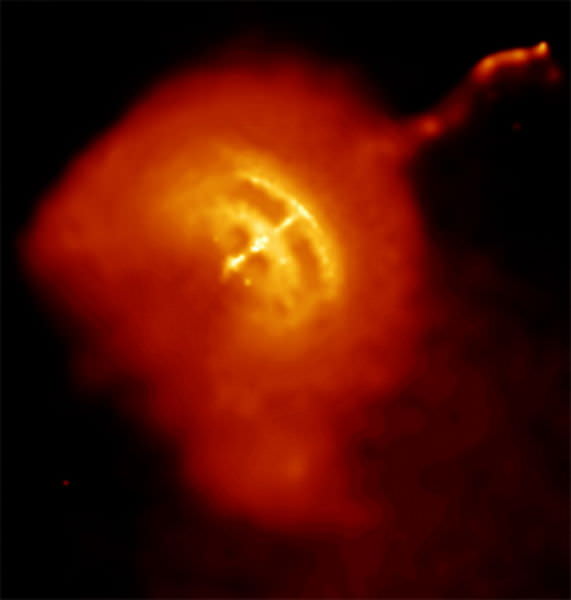
An x-ray image of the Vela pulsar, one of the brightest known millisecond pulsars. Credit: NASA/CXC/PSU/G.Pavlov et al.
With countless pulsars to choose from, the question turns to how you might equip your spacecraft to track them. Pulsars are easiest to spot in either x-rays or radio waves, so there’s a little choice as to which may be better to use. Essentially, it all turns out to be a question of how large your spacecraft is.
Smaller vehicles, more akin to modern spacecraft, would be best off using x-rays to track pulsars. X-ray mirrors, like the ones used in certain orbiting space telescopes are compact and lightweight, meaning that a few could be added for a navigation system without increasing the overall mass of the craft all that much. They may have the minor disadvantage that they may be easily damaged by an x-ray source which is too bright, this wouldn’t be a problem except under some unfortunate circumstances.
On the other hand, if you’re piloting a large space ship between planets or even stars, you would likely be better using radio waves. In radio frequencies, we know a lot more about the way in which pulsars work, as well as being able to measure them with a higher degree of accuracy. The only drawback there is that the radio telescopes you’d need to install on your ship would require an area of at least 150 m². But then, if you happened to be flying a starship, that kind of size probably wouldn’t make much difference.
It’s interesting to bear in mind the way that astronomers frequently use the analogy of pulsars being “like lighthouses” when explaining why they appear to pulse. If we someday find ourselves using them as actual navigation aids, that analogy may take on a whole new meaning!
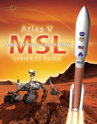
Getting the Mars Science Laboratory to the Red Planet isn’t as easy as just strapping the rover on an Atlas V rocket and blasting it in the general direction of Mars. Spacecraft navigation is a very precise and constant science, and in simplest terms, it entails determining where the spacecraft is at all times and keeping it on course to the desired destination.
And, says MSL navigation team chief Tomas Martin-Mur, the only way to accurately get the Curiosity rover to Mars is for the spacecraft to constantly be looking in the rearview mirror at Earth.
“What we do is ‘drive’ the spacecraft using data from the Deep Space Network,” Martin–Mur told Universe Today. “If you think about it, we never see Mars. We don’t have an optical navigation camera or any other instruments to be able to see or sense Mars. We are heading to Mars, all the while looking back to Earth, and with measurements from the Earth we are able to get to Mars with a very high accuracy.”
This high accuracy is very important because MSL is using a new entry, descent and landing guidance system which will allow the spacecraft to land more precisely than any previous landers or rovers.
“It is very challenging, and even though it is something similar to what we have done before with the Mars Exploration Rover (MER) mission, this time it will be done at an even higher level of precision,” Martin-Mur said. “That allows us to get to a very exciting place, Gale Crater.”
The Goldstone Antenna, part of the Deep Space Network. Image Credit: JPL
On Earth, we constantly can find exactly where we are with GPS – which is on our cell phones and navigation equipment. But there is no GPS at Mars, so the only way the rover will be able to head to –and through — a precise point in the Red Planet’s atmosphere is for the navigation team to know exactly where the spacecraft is and for them to keep telling the spacecraft exactly where it is. They use the Deep Space Network (DSN) for those determinations from launch, all the way to Mars.
The Deep Space Network consists of a network of extremely sensitive deep space communications antennas at three locations: Goldstone, California; Madrid, Spain; and Canberra, Australia. The strategic placement approximately 120 degrees apart on Earth’s surface allows constant observation of spacecraft as the Earth rotates.
But of course, it’s not as easy as just getting the rocket from Point A to Point B since Earth and Mars are not fixed positions in space. Navigators must meet the challenges of calculating the exact speeds and orientations of a rotating Earth, a rotating Mars, as well as a moving, spinning spacecraft, while all are simultaneously traveling in their own orbits around the Sun.
There are other factors like solar radiation pressure and thruster firings that all have to be precisely calculated.
This artist's concept depicts the rover Curiosity, of NASA's Mars Science Laboratory mission, as it uses its Chemistry and Camera (ChemCam) instrument to investigate the composition of a rock surface. Credit: NASA/JPL
Martin-Mur said even though MSL is a much bigger rover with a bigger spacecraft and backshell than the MER mission, the navigation tools and calculations aren’t much different. And in some ways, navigating MSL might be easier.
“The Atlas V vehicle provides a much more precise launching and can put us in a more precise path than the MER, which used a Delta II,’ Martin-Mur said. “This allows us to use less propellant, proportionally per pound, to get to Mars than the MER rovers did.”
The MER rovers and spacecraft weighed about 1 ton, while MSL weighs almost 4 tons. MSL is allotted 70 kg of propellant for the cruise stage, while the MER rovers each used about 42 kg of propellant.
Interestingly, for the MSL spacecraft to descend through Mars’ atmosphere and land, the spacecraft will use about 400 kg of propellant.
Additionally, Martin-Mur said more precise planetary ephemeris and Very Long Baseline Interferometry measurements are available, enabling the navigation to be able to deliver the spacecraft to the right place in the atmospheric entry interface, so the vehicle finds itself in the range of parameters that it has been designed to operate.
Navigation at Launch
It all starts with years of preparations and calculations by the navigation team, which must calculate all the possible trajectories to Mars depending on exactly when the Atlas V rocket launches with MSL aboard.
In some cases there are literally thousands of launch opportunities and all the possible trajectories must be calculated precisely. The Juno mission, for example, had two-hour daily launch windows with 3,300 possible launch opportunities. For MSL the daily launch windows contain liftoff opportunities in 5 minutes increments. Across the 24 day launch period the team has calculated 489 different trajectories for all the possible launch opportunities.
But ultimately, they will end up using only one.
“This is not something you do on the fly – you prepare all this well in advance so you have time to sit back and assess it and check it,” said another member of the MSL navigation team, Neil Mottinger, who has worked at the Jet Propulsion Laboratory since 1967. He’s worked on navigation for many missions like Mariner, Voyager, the MER, and several international missions.
“The initial function of navigation at launch is to determine the actual spacecraft trajectory well enough so the spacecraft signal will be well within the beam-width of the DSN antennae,” Mottinger told Universe Today.
The Mars Science Laboratory will separate from the rocket that boosted it toward Mars at about 44 minutes after launch, with the navigator’s tracking the spacecraft’s every move.
Mottinger added that without the DSN’s communication capabilities, there are no planetary missions. “The Navigation team does whatever it can to make sure there aren’t any gaps in communication,” he said. “It’s crunch time during the first 6-8 hours after launch to be able to determine the exact position of the spacecraft.”
From the recent problems with the Phobos-Grunt mission, it is evident how difficult it is to track and communicate with a just-launched spacecraft.
The MSL Entry, Descent and Landing Instrument (the black box in the middle left of the photo) is scheduled to launch as part of the Mars Science Laboratory mission. Credit: NASA
Mid-course Corrections
Again, the navigation team has modeled and calculated all the maneuvers and thruster burns for the mission. Once MSL is on its way to Mars, the navigation team will revisit all their models and design the maneuvers to take the spacecraft to the right entry interface at Mars.
“We’ll keep doing orbit determination and re-designing the maneuvers for the spacecraft,” said Martin-Mur. “MSL has 1 lb thrusters – the same size as the MER spacecraft — but our spacecraft is almost four times heavier so the maneuvers we do take a long time – some will take hours.”
For interplanetary navigation, the engineers use distant quasars as landmarks in space for reference of where the spacecraft is. Quasars are incredibly bright, but are at such colossal distances that they don’t move in the sky like nearer background stars do. Martin-Mur provided a list of nearly 100 different quasars that could be used for this purpose, depending on where the spacecraft is.
“It is interesting,” Martin-Mur mused, “with quasars we are using something that is billions of light years away from us, from the very early universe, which are so old that they might not even be there anymore. It is really cool that we are using an object that currently may not exist anymore, but using them for very precise navigation.”
The navigation team also needs to model the solar radiation pressure – the effect the Sun’s radiation has on the spacecraft.
“We know very well, thanks to our friends from the Solar Systems Dynamics group, where Mars is going to be and where the Earth and Sun are,” said Martin-Mur. “But since this spacecraft has not been in space before, what is not known precisely is how solar radiation pressure will affect the surface properties of the spacecraft, and how it will perturb the spacecraft. If we don’t have a good model for that, we could be hundreds of kilometers off as the spacecraft goes from Earth to Mars.”
Powered Descent, Sky Crane & Flyaway for MSL. Credit: NASA/JPL
Arriving at Mars
As the spacecraft approaches Mars, it is very important to know precisely where the spacecraft is. “We need to target the spacecraft to the right entry point,” said Martin-Mur, “and tell the spacecraft where it will enter, so it will be able to find its way to the landing site.”
The MSL Entry Descent and Landing Instrumentation, or MEDLI, will stream information back to Earth as the probe enters the atmosphere, letting the navigators — and the science team – know precisely where the rover has landed.
Only then will the navigation team be able — maybe — to breathe a sigh of relief.