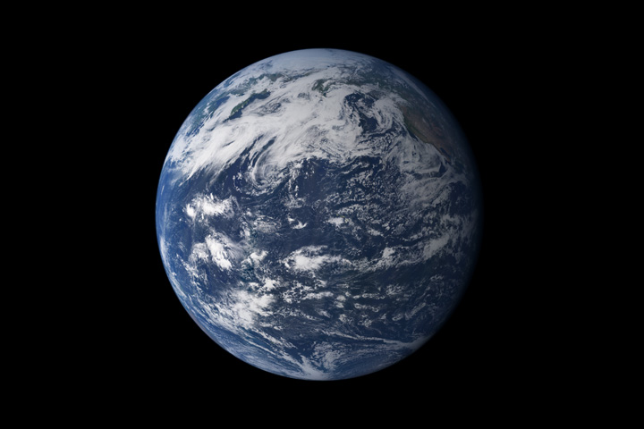
Earth, seen from space, above the Pacific Ocean. Credit: NASA
Today, the Earth’s seven continents are distributed across the surface, with North and South America occupying one hemisphere, Africa, Europe, Asia, and Australia occupying the other, and Antarctica sitting alone around the South Pole. However, these continents were arranged in entirely different configurations throughout Earth’s history. On occasion, they formed supercontinents like Gondwana (ca. 550 to 180 million) and Pangaea (ca. 335 to 200 million years ago) that were surrounded by “superoceans.”
Eventually, the Earth’s tectonic plates will come together again to form the world’s next supercontinent. According to new research led by Curtin University in Bentley, Australia, this will happen roughly 200 to 300 million years from now. As they determined through a series of simulations, this will involve the Americas drifting westward until they collide with Australia and Asia (eliminating the Pacific Ocean) and Antarctica moving north to join them. This will give rise to the new supercontinent they have named “Amasia,” which will also have profound implications for life on Earth.
Earth, seen from space, above the Pacific Ocean. Credit: NASA
One look at planet Earth on a map, or based on an image taken from space, ought to convey just how immense and important our oceans are. After all, they cover 72% of the planet’s surface, occupy a total volume of around 1.35 billion cubic kilometers (320 million cu mi), and are essential to life as we know it. And in their great depths, many mysteries still wait to be discovered.
Thanks to modern science and improvement exploration vehicles, one of the most obvious has been tackled – which is the mystery of where the deepest ocean in the world lies. This is none other than the Pacific Ocean, which averages approximately 4,280 meters (14,042 ft) in depth and contains the deepest known part of any ocean – the Mariana Trench.
Methodology:
Of course, determining the depth of an ocean is tricky business, and for obvious reasons. Ocean floors are extremely extensive, and vary widely in terms of elevation. Much like continental land masses, they have mountain ranges and trenches that throw off the curve. And in some cases, the trenches are much deeper than the average depth.
The view of the Pacific Ocean from the ISS. Credit: NASA
However, in terms of average depth, the Pacific Ocean is the deepest. Though calculations vary, it is estimated that the entire ocean floor averages about 4,280 meters (14,042 ft), which is over 500 m (1640 ft) deeper than the global average of 3,700 meters (12,100 ft). Part of the reason for this is due to the Marian Trench, which is significantly deeper!
Characteristics:
The Marian Trench is located in the western Pacific Ocean near the Mariana Islands, almost equally distant from both the Philippines and Japan. The trench is crescent shaped, and measures roughly 2,550 kilometers (1,580 mi) long with an average width of 69 kilometers (43 mi).
It reaches a maximum-known depth of 10,994 meters (36,070 ft) – with a margin of error of 40 metes (130 ft) – at a small slot-shaped valley in its floor known as the Challenger Deep, located at its southern end. Countries near the trench include Japan, Papua New Guinea, Indonesia and the Philippines.
The geological feature is the result of subduction that occurs at the boundary between two tectonic plates – the Filipino and the Pacific Plate. This results in what is known as the Izu-Bonin-Mariana subduction system, where the western edge of the Pacific Plate is subducted (pushed under) the smaller Mariana plate (part of the Filipino Plate).
Location of the Mariana Trench. Credit: Wikipedia Commons/Kmusser
The movement of the Pacific and Mariana Plates also led to the formation of the Mariana Islands, which are volcanic in nature. They formed as a result of flux melting – i.e. where water cools hot lava – due to the release of water that was trapped in the subducted portion of the Pacific Plate.
To put just how deep the Mariana Trench is into perspective, let’s consider comparing it to Mount Everest. If you placed Mt. Everest inside the Mariana Trench, there would still be over 2,000 meters (6562 ft) of water covering the mountain.
The water pressure in the Mariana Trench is also 15,750 psi, which is more than 1000 times greater than the standard atmospheric pressure at sea level. This means that if you could stand at the bottom of the Mariana Trench, the pressure could literally crush you!
Measurement:
Numerous measurements of the trench have been taken over the years using different methods. The first mission was the Challenger expedition, which took place between 1872 and 1876. Using the sounding technique, they measured the deepest point of Mariana Trench to 9,636 meters (31,614 ft).
The HMS Challenger, which conducted the Challenger II measurements of the Mariana Trench. Credit: Imperial War Museums.
This was followed by the HMS Challenger, which conducted the Challenger II survey in 1931. Here, surveyors relied on the more accurate technique of echo-sounding, and retrieved a deepest measurement of 10,900 meters (35,760 ft). This area came to be known as the Challenger Deep.
During the latter half of the 20th century, multiple missions would be conducted. In 1957, the Soviet vessel Vityaz obtained depth readings of 11,034 meters (36,201 ft) at a location named “the Mariana Hollow”. This was followed in 1962 by the US merchant vessel Spencer F. Baird, which recorded a maximum depth of 10,915 meters (35,810 ft) using precision depth gauges.
In 1984, the Japanese survey vessel Takuyo used a narrow, multi-beam echo sounder and reported a maximum depth of 10,924 meters (35,840 ft). In 1995, another Japanese vessel – the remotely operated vehicle KAIKO – reached the deepest area of the Mariana trench, thus establishing the deepest diving record of 10,911 meters (35,797 ft).
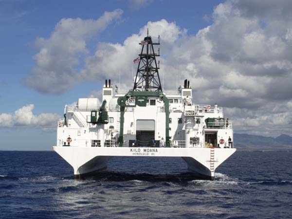
In 2009, the US research vessel Kilo Moana conducted the most accurate measurements of the Mariana Trench to date. This involved using sonar to map the Challenger Deep, which located a spot with a maximum depth of 10,971 meters (35,994 ft).
Rear view of the research vessel Kilo Moana. NOAA
Exploration:
Four missions have been made into the Mariana Trench. The first was the Trieste, a Swiss-designed, Italian-built, and US Navy-owned self-propelled submersible craft. On January 23rd, 1960, the craft and its two-man crew reached the bottom of the Trench, having reached a depth of 10,916 m (35,814 ft). This was followed by the unmanned Kaiko craft in 1996 and the autonomous craft Nereus in 2009.
The first three expeditions directly measured very similar depths of 10,902 to 10,916 m (35,768 to 35,814 ft). The fourth mission took place in 2012, where Canadian film director James Cameron mounted a mission using the submersible Deepsea Challenger. On March 26th, he reached the bottom of the Mariana Trench.
Several more missions have been planned as of February of 2012. These include Triton Submarines, a Florida-based company that designs and manufactures private submarines; and DOER Marine, a marine technology company based near San Francisco that plans to send a two or three-person sub to the seabed.
Beyond the coastlines, the world’s oceans are deep and unfathomable. Much of it remains unexplored and the life that scientists have found there is quite exotic (and may even provide insight into life on other worlds). Somehow, it seems appropriate that life in “inner space” would help us to understand life in “outer space”.
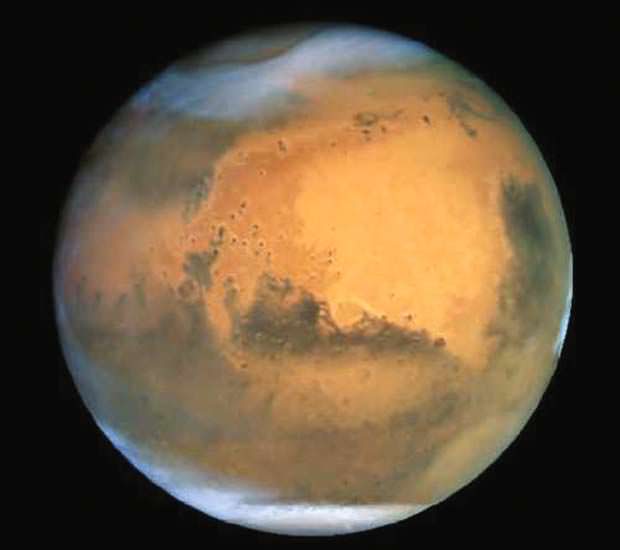
[/caption]Planet Mars’ Olympus Mons holds the record for the tallest known peak in the entire Solar System. Having a height three times taller than Mount Everest’s and a base wide enough to prevent an observer at the base from seeing the top, you would have expected Mars to be on a relatively big planet. But did you know that Mars is much smaller than Earth? So how big is Mars?
The radius of Mars is only about half that of the Earth’s radius; roughly 3,396 km at the equator and 3,376 km at the poles. For comparison, the earth’s equatorial radius is 6,378 km, while its polar radius is 6,357 km.
These radii give Mars a surface area roughly only 28.4% of Earth’s or 144,798,500 km2. The Pacific Ocean is even larger, with an area of roughly 169,200,000 km2.
The dimensions of Mars also gives it a volume approximately equal to 1.6318×10¹¹ km2 and a mass approximately equal to 6.4185×10²³ kg. That’s only about 15.1% and 10.7% that of the Earth’s, respectively.
Despite its noticeably smaller size than the Earth, Mars has more majestic geographical features.
For instance, there’s Valles Marineris, a 4,000 km-long and 7 km-deep canyon that spans about one-fifth of the entire planet’s circumference. It is so long that it’s even longer than the length of Europe. If you compare the Grand Canyon to it, Colorado’s pride and joy won’t look so grand anymore.
Want to know how long the Grand Canyon is? 446 km. That’s very long, yes. But that’s only a little over 10% the length of Valles Marineris.
That’s not the only large geographical feature on Mars. Ma’adim Vallis, is another canyon on Mars that’s larger then the Grand Canyon, with a length of 700 km. Then there’s an impact crater that’s been found to be larger than the combined surface area of the continents of Asia, Europe, and Australia.
Now that you know about these extremely majestic geographical features on Mars, the next time someone asks you, “How big is Mars?” you can tell them how it is much smaller than the Earth … but you can also add the salient features that make the Red Planet much more interesting when it comes to a discussion on sizes.