US Satellite Photographs a South Korean Satellite from Lunar Orbit

This Lunar Reconnaissance Orbiter image shows the Republic of Korea's Danuri lunar orbiter travelling above the lunar surface. Capturing the image wasn't easy. Image Credit: NASA/Goddard/Arizona State University

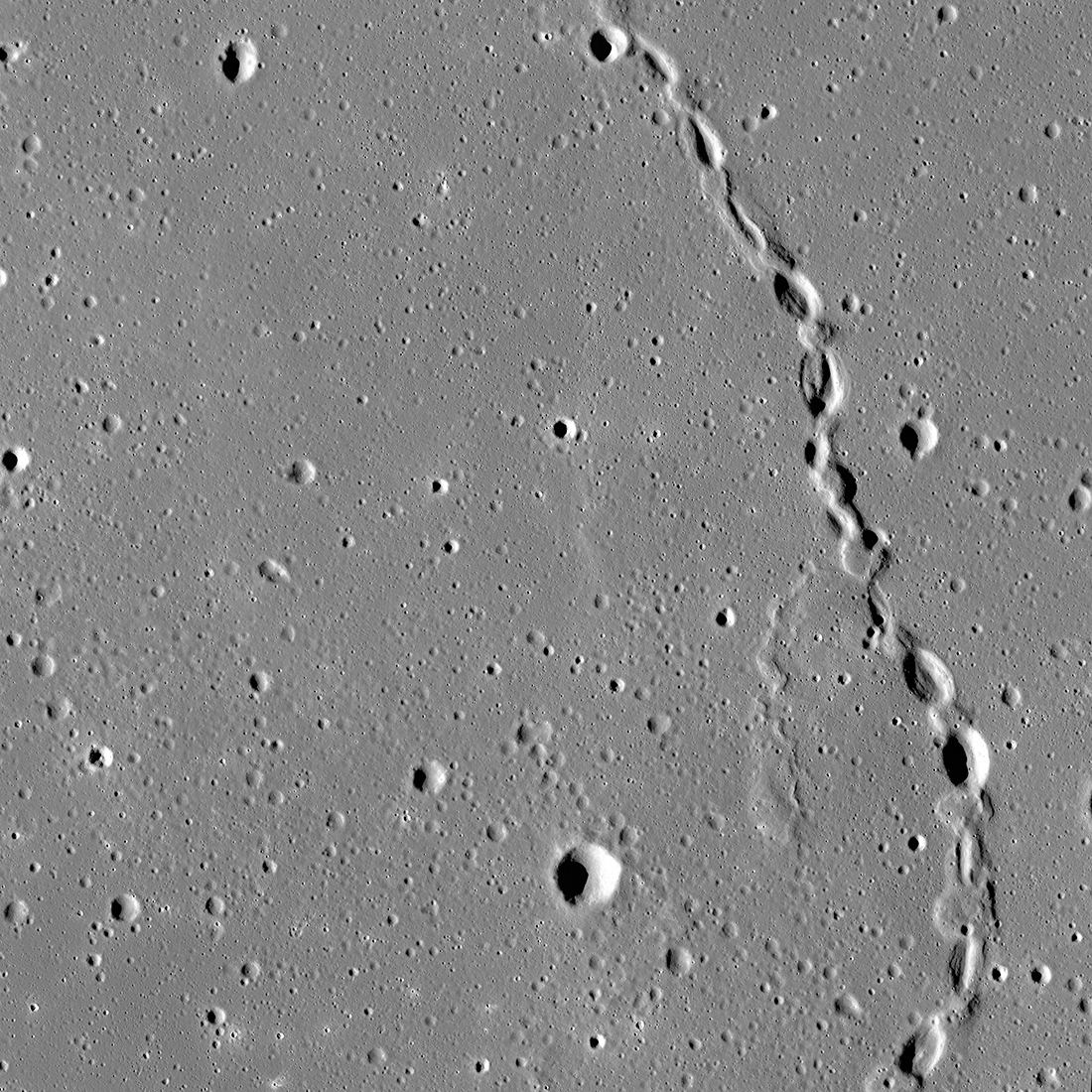
In 2009, NASA launched the Lunar Reconnaissance Orbiter (LRO.) Its ongoing mission is to map the lunar surface in detail, locating potential landing sites, resources, and interesting features like lava tubes. The mission is an ongoing success, another showcase of NASA’s skill. It’s mapped about 98.2% of the lunar surface, excluding the deeply shadowed regions in the polar areas.

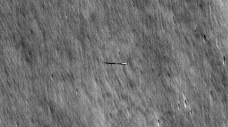
But recently, the LRO team’s skill was on display for another reason: it captured images of another satellite speeding over the lunar surface.

Continue reading “US Satellite Photographs a South Korean Satellite from Lunar Orbit”

Is This a Collapsed Lava Tube on the Moon?

The spectacular sinuous landform shown above is thought to be a collapsed lava tube located near Gruithuisen K crater. Credit: NASA/GSFC/ASU

The Moon was once a geologically active place characterized by volcanoes, lava flows, and a magnetic field generated by action in its interior. The Moon’s airless environment has perfectly preserved evidence of this past and can be seen today as dark deposits, volcanic domes, and cones. But the most recognizable features are known as “sinuous rilles,” which are believed to be ancient lava tubes that have since collapsed. The Lunar Reconnaissance Orbiter Camera (LROC) recently captured images of a rille that extended 48 km long (30 mi) across the northern hemisphere.

Continue reading “Is This a Collapsed Lava Tube on the Moon?”