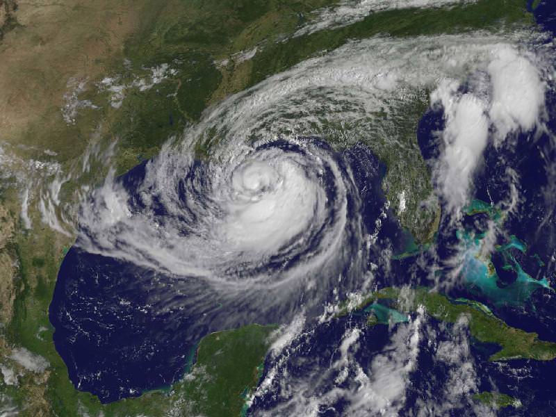
This visible image of Tropical Storm Isaac taken from NOAA’s GOES-13 satellite shows the huge extent of the storm, where the eastern-most clouds lie over the Carolinas and the western-most clouds are brushing east Texas. The image was captured on Tuesday, Aug. 28, 2012 at 10:25 a.m. EDT. Image Credit: NASA GOES Project
As expected Tropical Storm Isaac has now become a full-fledged hurricane, after being fed by the warm waters in the Gulf of Mexico. The slow moving storm is now closing in on the Louisiana-Mississippi coast and could make landfall in the region seven years to the day after Hurricane Katrina devastated the same area. It is not expected to be another Katrina, but with the slowness of the storm — about 16 km/h (10 mph) — forecasters are predicting 7-14 inches of rainfall across the coast as well as inland regions, and some places could even see 20 inches. Flooding from rainfall and storm surges are expected, according to NOAA. Satellites have been keeping an eye on the storm, and above is an image from one of the GOES satellites taken on Tuesday, August 28. Below are more satellite views.

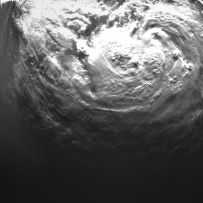
The Proba-2 satellite’s X-Cam – Exploration Camera – acquired this image at 11:38:33 GMT on August 27, 2012. Credit: ESA
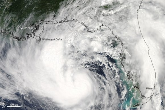
The Moderate Resolution Imaging Spectroradiometer (MODIS) on NASA’s Aqua satellite captured this natural-color image of Isaac over the Gulf of Mexico at 2:00 p.m. CDT on August 27, 2012. Credit: NASA
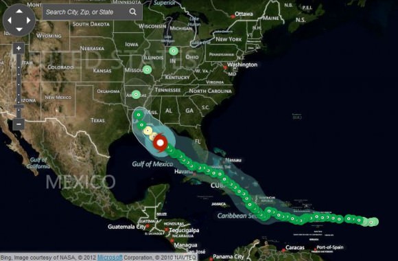
Here’s a screenshot of Weather.com’s Hurricane Tracker for Isaac. Click here to see up-to-the-minute details on Isaac.


