Space Debris: A Tale of Two Satellites

Artist's concept of a GOES spacecraft in orbit. (Credit: NOAA.gov).

It’s sometimes tough being a satellite in Earth orbit these days.

An interesting commentary came our way recently via NASA’s Orbital Debris Program Office’s Orbital Debris Quarterly News. The article, entitled High-Speed Particle Impacts Suspected in Two Spacecraft Anomalies, highlights a growing trend in the local space environment.

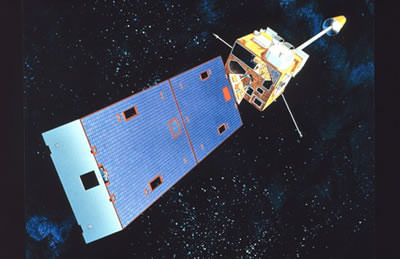
The tale begins with GOES 13 located in geostationary orbit over longitude 75° West. Launched on May 24th, 2006 atop a Delta IV rocket, GOES 13 is an integral part of the U.S. National Oceanic and Atmospheric Administration (NOAA’s) Geostationary Operational Environmental Satellite network.

The problems began when GOES-13 began to suffer an “attitude disturbance of unknown origin” on May 22nd of this year, causing it to drift about two degrees per hour off of its required nadir (the opposite of zenith) pointing.

The anomaly was similar to a problem encountered by the NOAA 17 spacecraft on November 20th, 2005. At the time, the anomaly was suspected to be due to a micrometeoroid impact. The Leonid meteors, which peak right around the middle of November, were a chief suspect. However, NOAA 17 suffered a second failure 18 days later, which was later traced down to a hydrazine leak from its errant thrusters.

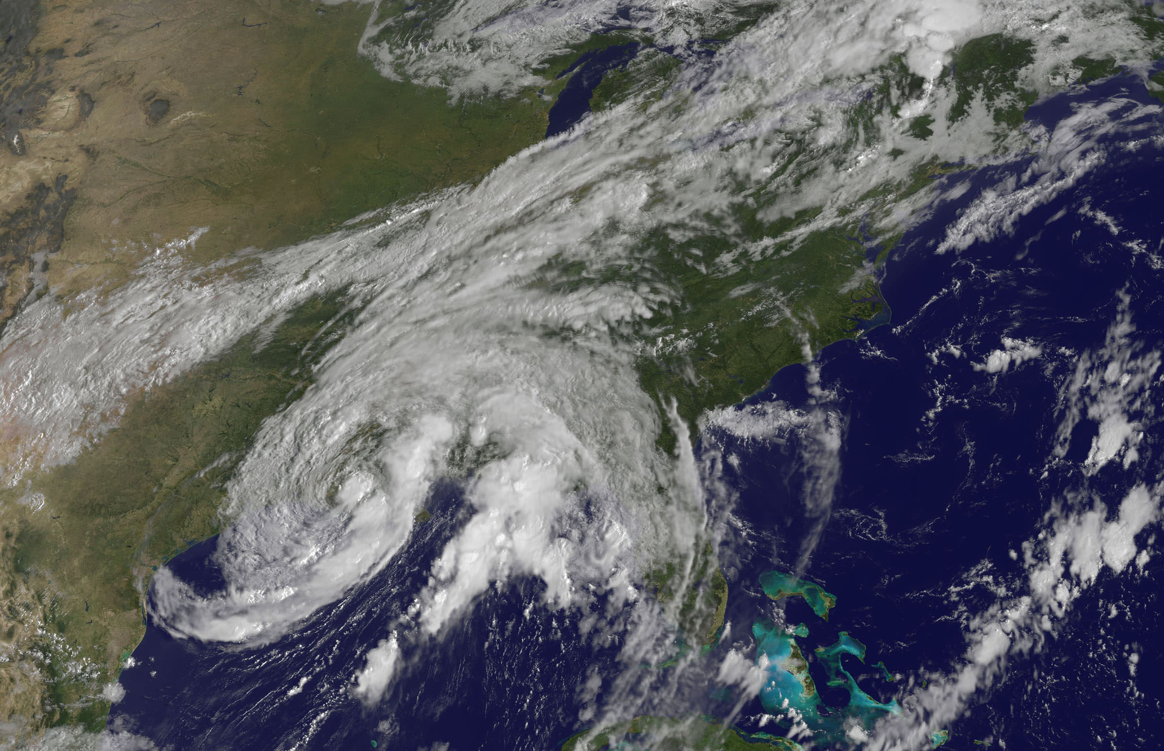
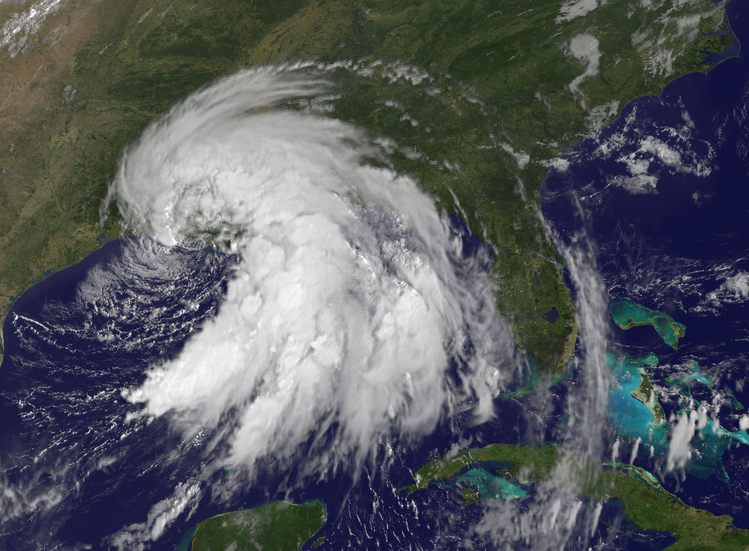
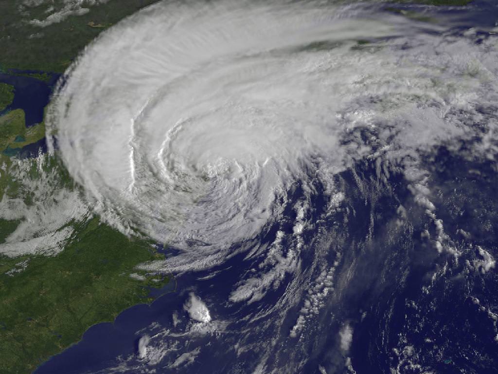
GOES-13 has weathered hard times before.  Back in December of 2006, GOES-13’s Solar X-Ray Imager suffered damage after being struck by a solar flare shortly after initial deployment.   GOES-13 also began returning degraded imagery in September 2012, forcing it into backup status for Hurricane Sandy.

GOES-13 was restored to functionality last month. Current thinking is that the satellite was struck by a micrometeorite. No major meteor showers were active at the time.

Loss of a GOES satellite would place a definite strain on our weather monitoring and Earth observing capability. Begun with the launch of GOES-1 in 1975, currently six GOES satellites are in operation, including one used to relay data for PeaceSat (GOES-7) and one used as a communications relay for the South Pole research station (GOES-3).

The GOES program cost NOAA billions in cost overruns to execute. The next GOES launch is GOES-R scheduled in 2015.

But the universe seems to love coincidences.

NEE-01 Pegaso before deployment. (Credit:
NEE-01 Pegaso before deployment. (Credit: Wikimedia Commons image in the Public Domain).

Less than 26 hours after the GOES 13 anomaly, Ecuador’s first satellite, NEE-01 Pegaso began to have difficulties keeping a stable attitude. The event happened shortly after passage near an old Soviet rocket booster (NORAD designation 1986-058B) which launched Kosmos 1768 on August 2nd, 1986. The U.S. Joint Space Operations Center had warned the fledgling Ecuadorian Space Agency that conjunction was imminent, but of course, there’s not much that could’ve been done to save the tiny CubeSat.

Although the main mass passed Pegaso at a safe distance, current thinking is that the discarded booster may have left a cloud of debris in its wake. Researchers have tracked small “debris clouds” around objects it orbit before- the collision of Iridium 33 and the defunct Kosmos 2251 on February 10th, 2009 left a ring of debris in its wake, and the Chinese anti-satellite test carried out on January 11th, 2007 showered low-Earth orbit with debris for years to come.

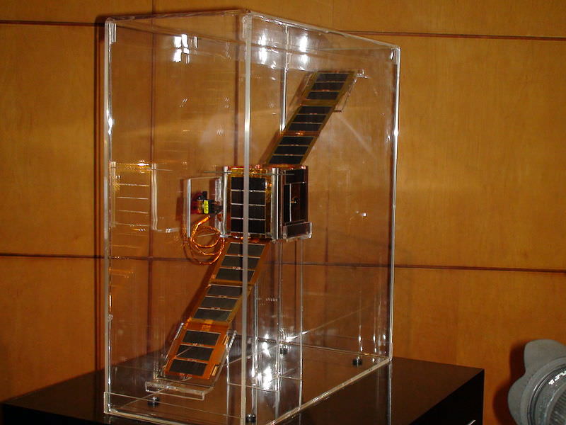
The loss represents a blow to Ecuador and their first bid to become a space-faring nation. Launched less than a month prior atop a Long March 2D rocket, Pegaso was a small 10 centimetre nanosatellite equipped with solar panels and dual infrared and visible Earth imaging systems.

A translation from the Ecuadorian Space Agencies site states that;

 “The NEE-01 survived the crash and remains in orbit; however it has entered uncontrolled rotation due to the event.

 Due to this rotation, (the satellite) cannot point its antenna correctly and stably to the Earth station and although still transmitting and running, the signal cannot be decoded. The Ecuadorian Civilian Space Agency is working tirelessly to stabilize the NEE-01 and recover the use of their signal.

The PEGASUS aired for 7 days your signal to the world via EarthCam, millions could see the Earth seen from space in real time, many for the first time, the files in those 7 days have been published after transmission.”

Ecuador plans to launch another CubeSat, NEE 02 Krysaor later in 2013. A carrier has not yet been named.

While both events suffered by the GOES-13 and NEE-01 Pegaso satellites were unrelated, they underscore problems with space junk and space environmental hazards that are occurring with a higher frequency.

Gabbard diagram displaying a sample disintegration of a Long March 4 booster in 2000. (Credit: the NASA Orbital Debris Office).

Such is the modern hazardous environment of low Earth orbit that new satellites must face. With a growing amount of debris, impact threats are becoming more common. The International Space Station must perform frequent debris avoidance maneuvers to avoid hazards, and more than once, the crew has waited out a pass in their Soyuz escape modules should immediate evacuation become necessary.  Punctures from micro-meteoroids or space junk have even been seen recently on the ISS solar panel arrays.

Plans are on the drawing board to deal with space junk, involving everything from “space nets” to lasers and even more exotic ideas. Probably the most immediate solution that can be implemented is to assure new payloads have a way to “self-terminate” via de-orbit at the end of their life span.  Solar sail technologies, such as NanoSailD2 launched in 2010 have already demonstrated this capability.

Expect reentries also pick up as we approach the peak of solar cycle #24 at the end of 2013 and the beginning of 2014. Increased solar activity energizes the upper atmosphere and creates increased drag on low Earth satellites.

It’s a brave new world “up there,” and hazards, both natural and man-made, are something that space faring nations will have to come to terms with.

-Read and subscribe to the latest edition of NASA’s Orbital Debris Quarterly News for free here.


Tropical Storm Lee Drenches Gulf Coast as Hurricane Katia Aims for US East Coast

Tropical Storm Lee - Visible image from the GOES-13 satellite on Sunday, Sept. 4 at 9:32 a.m. EDT. It shows the extent of Lee's cloud cover over Louisiana, Mississippi, Alabama and the Florida Panhandle and spread into the Tennessee Valley. The thickest clouds and heaviest rainfall stretch from the northeast to southwest of the center. Credit: NASA/NOAA GOES Project

[/caption]

New imagery from NASA and NOAA satellites taken today (Sept 4) shows the extent of a hurricane season storm currently ravaging the US Gulf Coast and another potentially posing a new threat to US East Coast areas still suffering from the vast destruction caused by Hurricane Irene just days ago. Data from the NASA and NOAA satellites is critical in providing advance warning to government officials and local communities to save human lives and minimize property damage. .

Slow moving Tropical Storm Lee has unleashed strong thunderstorms and heavy rainfall in several Gulf Coast states. Rainfall amounts of up to 7 to 14 inches over the last 48 hours are currently drenching coastal and inland communities – especially in Louisiana, Mississippi and Alabama along a wide swath that extends from Texas to the Florida panhandle.

Isolated pockets of Gulf State areas may see up to 20 inches of rainfall. Severe flooding to homes and roads has occurred in some locations. Winds have diminished from 60 mph on Saturday (Sept. 3) to 45 mph on Sunday.

Imagery and measurements from the Aqua and GOES-13 satellites from NASA and NOAA revealed that TS Lee finally made landfall in Louisiana after two days of drenching rain along the Gulf Coast..

A tropical storm warning is in effect on Sept 4 for New Orleans, Lake Pontchartrain, and Lake Maurepas. Fortunately the rebuilt levees in New Orleans appear to holding in the first serious test since the vast destruction of Hurricane Katrina. Other areas are less lucky.

This infrared image of Tropical Storm Lee on Sept. 3 at 3:47 p.m. EDT when the center was still sitting south of the Louisiana coast. The strongest thunderstorms and coldest clouds (purple) stretched from Mobile Bay, south into the Gulf of Mexico and covered about 1/3rd of the Gulf of Mexico. Winds were 55 mph at the time of this image. The image was taken by the AIRS instrument on NASA's Aqua satellite. Credit: NASA JPL, Ed Olsen NASA

Lee’s tropical force winds now extend out 275 miles from the center. A large part of Lee is still over the Gulf of Mexico where the driving wind and rain affected operations on some oil rigs.

Lee has spawned more than a dozen tornadoes in the Gulf Coast states. The storm is spreading more heavy rain and winds on a northeast to east- northeast heading tracking towards Tennessee over the next 24 to 36 hours according to the latest weather forecasts.

Meanwhile Hurricane Katia is packing winds of 110 MPH and is on a path that could cause it to make landfall on the Outer Banks of North Carolina just a week after the state suffered from Hurricane Irene.

Hurricane Katia has the potential to affect the launch of NASA’s GRAIL Lunar Mappers slated for liftoff on Sept. 8 from Cape Canaveral, Florida, depending on its exact course.

This GOES-13 satellite image shows Hurricane Katia (right), Tropical Depression 13 (left) and System 94L (top). Credit: NASA/NOAA GOES Project

Irene caused extensive flooding and devastation on the hundred year scale in several US states still reeling from flooding and destruction. More than 43 deaths have been reported so far, including emergency rescue workers. Initial damage estimates are over $6 Billion.

Thousands of East Coast homes and businesses are still without power as strong after effects from Irene continue to play out.

President Obama toured flood stricken areas of Paterson, New Jersey today (Sept. 4).

According to a statement by Rob Gutro, of NASA’s Goddard Space Flight Center, Greenbelt, Md; Tropical Storm Lee’s winds had dropped from 60 mph exactly 24 hours before to 45 mph at 8 a.m. EDT on Sept. 4.

Lee’s center was over Vermillion Bay, Louisiana near 29.7 North and 92.0 West. It was crawling to the northeast near 3 mph (6 kmh) and expected to continue in that direction today, turning to the east-northeast tonight. Because Lee’s center is over land, he is expected to continue weakening gradually in the next couple of days. Lee’s outer bands still extend far over the Gulf of Mexico, bringing in more moisture and keeping the system going.

Here's a 3-D look at Tropical Depression 13 from NASA's TRMM Satellite on Sept 1. Some of the highest thunderstorm towers in that area were shown by PR data to reach heights of over 15km (~9.3 miles) and there were areas of heavy rain - which is going to affect the shoreline.. waves of rainfall to move inland. Credit: NASA/Goddard
This visible image of Tropical Storm Lee was taken from the GOES-13 satellite on Saturday, Sept. 3 at 9:32 a.m. EDT. It shows the extent of Lee's cloud cover over Louisiana, Mississippi, Alabama and the Florida Panhandle. The clearing on the southeastern side is a result of drier air moving in and preventing development of thunderstorms. Credit: NASA/NOAA GOES Project

Deadly and Destructive Path of Hurricane Irene seen in NASA Videos and Images

Irene Makes Landfall Over New York. This GOES-13 satellite image is of Hurricane Irene just 28 minutes before the storm made landfall in New York City. The image shows Irene's huge cloud cover blanketing New England, New York and over Toronto, Canada. Shadows in Irene's clouds indicate the bands of thunderstorms that surrounded the storm. Credit: NASA/NOAA GOES Project

NASA Video Caption: The Life of Hurricane Irene from the Caribbean to Canada from August 21 through August 29 seen by NASA/NOAA satellites. Credit: NASA/NOAA/GOES/MODIS

The new NASA animation above shows the birth and subsequent destructive and deadly path followed by Hurricane Irene from August 21 through August 29, 2011 starting in the Caribbean, and then tracking along the US East Cost and up into Canada. The observations combine images taken by NASA and NOAA Earth orbiting satellites.

The cloud images were captured by the NASA/NOAA GOES-13 satellite and overlaid on a true-color NASA MODIS map. Irene followed a lengthy course over Puerto Rico, Hispaniola, the Bahamas, and then along the entire US East with landfalls over North Carolina, New Jersey and New York.

NASA ISS astronaut Ron Garan and cameras flying overhead aboard the International Space Station (ISS) also photographed vivid images showing the magnitude of Irene slamming into the US East coast.

Irene caused widespread property damage. Massive and raging flooding in several US states destroyed houses, crushed businesses and washed away bridges and roads and more. The worst flooding is yet to come to some inland portions of Vermont, New Jersey, New York, Pennsylvania and elsewhere as uncontrollable waters continue to rise at numerous rivers, lakes and even ponds, threatening even more misery in their wake.

[/caption]

So far 41 fatalities in 12 states have been attributed to Irene and more may be expected as searches continue. Some communities have been entirely cut off due to washed out access. Airlifts of food and water have begun. More people are being evacuated from New Jersey towns today, Aug 30.

Brave emergency rescue workers have put their own lives at peril and saved the lives of countless others of all ages from babies to the elderly. Some 8 million customers, including my area, lost power due to extensive flooding, downed trees and electrical wires, and devastated infrastructure.

Hurricane Irene twitpic from the International Space Station on 8/27/11 by NASA Astronaut Ron Garan
Irene From Space and the ISS as it crossed the coast on August 27, 2011 at 3:32pm EST. Hope everyone is OK wrote NASA Astronaut Ron Garan with his twitpic from the ISS. Credit: NASA/Ron Garan aboard the ISS

Emergency crews are hard at work to restore power as quickly as possible, but many thousands of homes and businesses could be without power for up to a week or more. About 3.3 million customers are still without power today.

NASA’s GOES-13 satellite captured a dramatic view of Hurricane Irene just 28 minutes prior to making landfall over New York City. Today’s NASA Image of the day shows the humongous cloud cover spanning the US East coast from the Mid-Atlantic States up to New Jersey, New York, Pennsylvania, and New England and into Toronto, Canada.

This GOES-13 image from Monday, August 29 at 7:45 a.m. EDT shows an active Atlantic Ocean with the remnants of Hurricane Irene moving into Quebec and Newfoundland (left), Tropical Storm Jose (center) and newly formed Tropical Depression 12 (right). Credit: NASA/NOAA GOES Project
Irene slams into North Carolina. The GOES-13 satellite saw Hurricane Irene on August 27, 2011 at 10:10 a.m. EDT after it made landfall at 8 a.m. in Cape Lookout, North Carolina. Irene's outer bands had already extended into New England. Credit: NASA/NOAA GOES Project

Many transit systems and airports in Irene’s path were shutdown ahead of the storm.

Send me your photos of Irene’s destruction to post at Universe Today.

Joplin, Missouri Tornado Seen From Space

This video from NOAA’s GOES geostationary satellite shows the development of the supercell storm that produced the devastating tornado that struck Joplin, Missouri. Here you can see the storm develop over Missouri, Oklahoma, Kansas state lines on May 22, 2011 between 12:44pm to 7:15pm CDT. This was part of the great wave of severe storms that swept across the central United States, with tornado warnings from Minneapolis to Dallas. The most damaging storm struck Joplin at 5:30 pm local time (2230 UTC), killing at least 116 people.

Below is imagery from the Tropical Rainfall Measuring Mission satellite (TRMM).
Continue reading “Joplin, Missouri Tornado Seen From Space”