
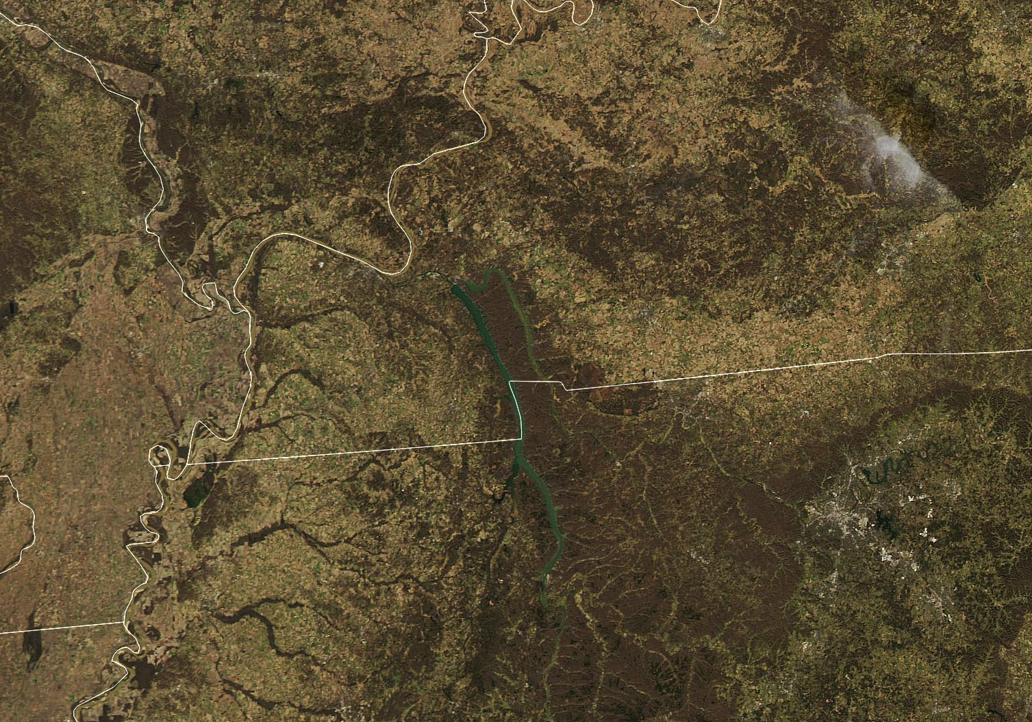
During the night of December 10, 2021, severe weather tore through several US states, Arkansas, Illinois, Kentucky, Mississippi, Missouri and Tennessee. At least 70 tornado-like events were reported, and one storm cell was tracked on radar for approximately four hours as it traveled for more than 400 km (250 miles.)
While the destruction these storms left behind is visible even from space, the heartbreaking devastation on the ground is sobering; over 100 people killed, with hundreds more injured.
Continue reading “The Recent Killer Tornado’s Track is Visible From Space”