Universe Today
Home
Videos
Podcast
Newsletter
Join the Club
RSS Feed
Unknown Author
Recent Articles
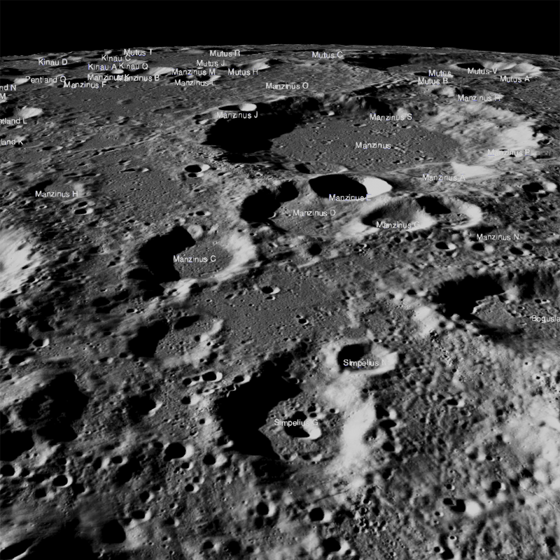
India's Chandrayaan 2 is Creating the Highest Resolution Map We Have of the Moon
March 11, 2020
ISRO's Chandrayaan 2 orbiter is quantifying just how much water ice exists on the Moon's poles.