The lunar south pole looks chaotic from orbit. Craters heaped upon craters, ancient basins, scarps and slopes tumbling in every direction, it is without doubt, one of the most geologically complicated terrains in the inner Solar System. That aside, it’s exactly where we intend to send people since understanding what lies beneath that battered surface isn't just scientific curiosity. It's essential groundwork for everything that follows.
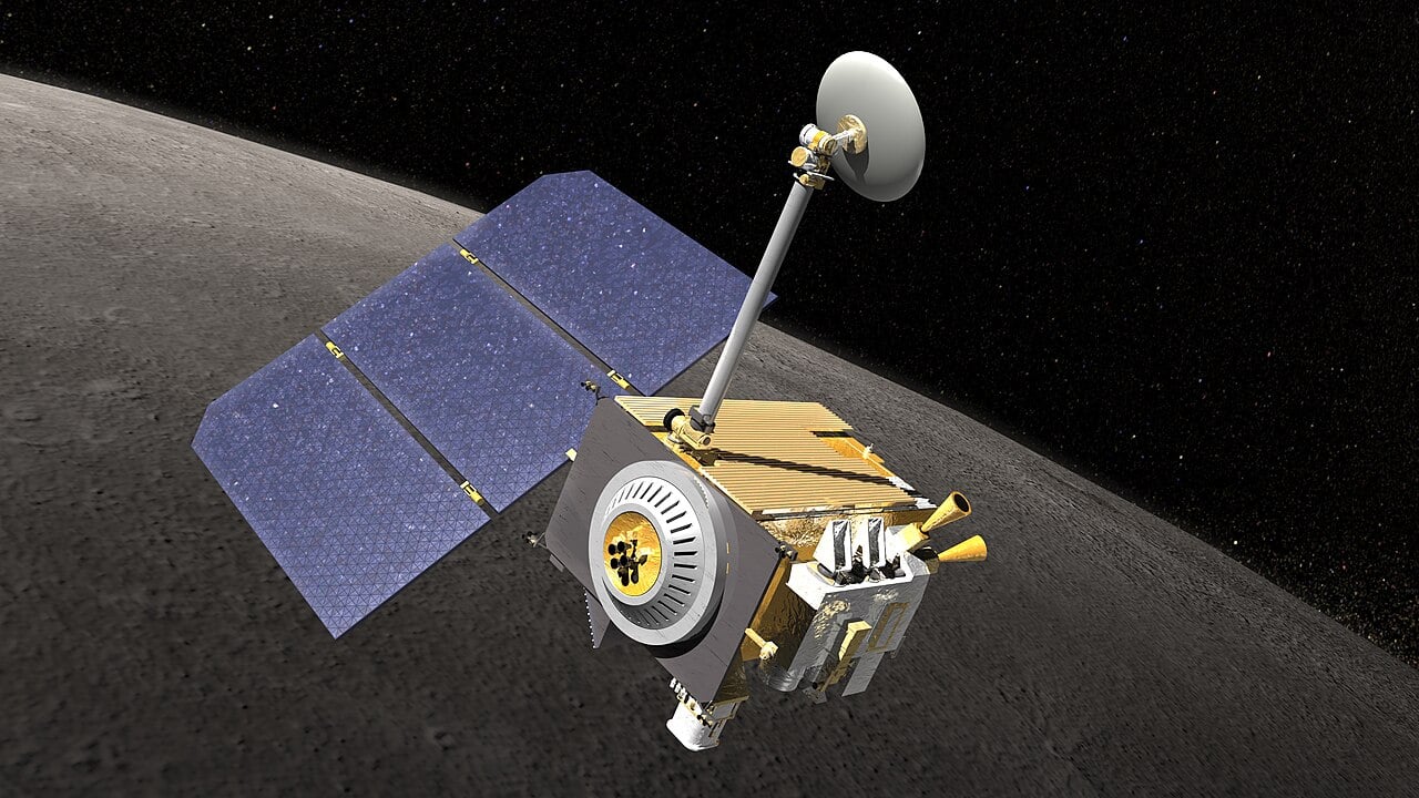 Artist impression of NASA's Lunar Reconnaissance Orbiter (Credit : NASA)
New research by Lynn Carter and colleagues at the University of Arizona is using radar to do just that, probing both the surface texture and the hidden subsurface structure of the south polar region to unpick billions of years of impact history. The work combines data from two complementary instruments: the Mini-RF radar aboard NASA's Lunar Reconnaissance Orbiter, operating at a wavelength of around 12.6 centimetres, and longer wavelength P-band radar data from the Arecibo Observatory. Because longer radar wavelengths penetrate deeper into the lunar regolith, the two datasets together give researchers a layered view of the ground from the top metre or so down to several metres below the surface.
The key measurement is something called the circular polarisation ratio, or CPR. When a radar signal bounces back from a rough or rock strewn surface, it returns in a different polarisation than it left. A high CPR value signals a rugged, boulder strewn terrain while a lower value suggests smoother, older material. Mapping CPR across the south pole reveals a patchwork of geological history.
What the team find is that the smooth, bright "light plains" that blanket much of the region show high CPR values but look very different from the chaotic ejecta blankets of young craters. The researchers suspect these plains are ancient fluidised ejecta, material hurled outward by colossal basin forming impacts billions of years ago, from events like the Schrödinger and Orientale impacts, which may have arrived partly molten and pooled across the surface. Some smaller craters in the region show extremely high CPR values and may have punched through this surface layer to excavate a buried melt sheet beneath. ShadowCam images of certain crater floors hint at ponded impact melt, similar to features spotted elsewhere on the Moon.
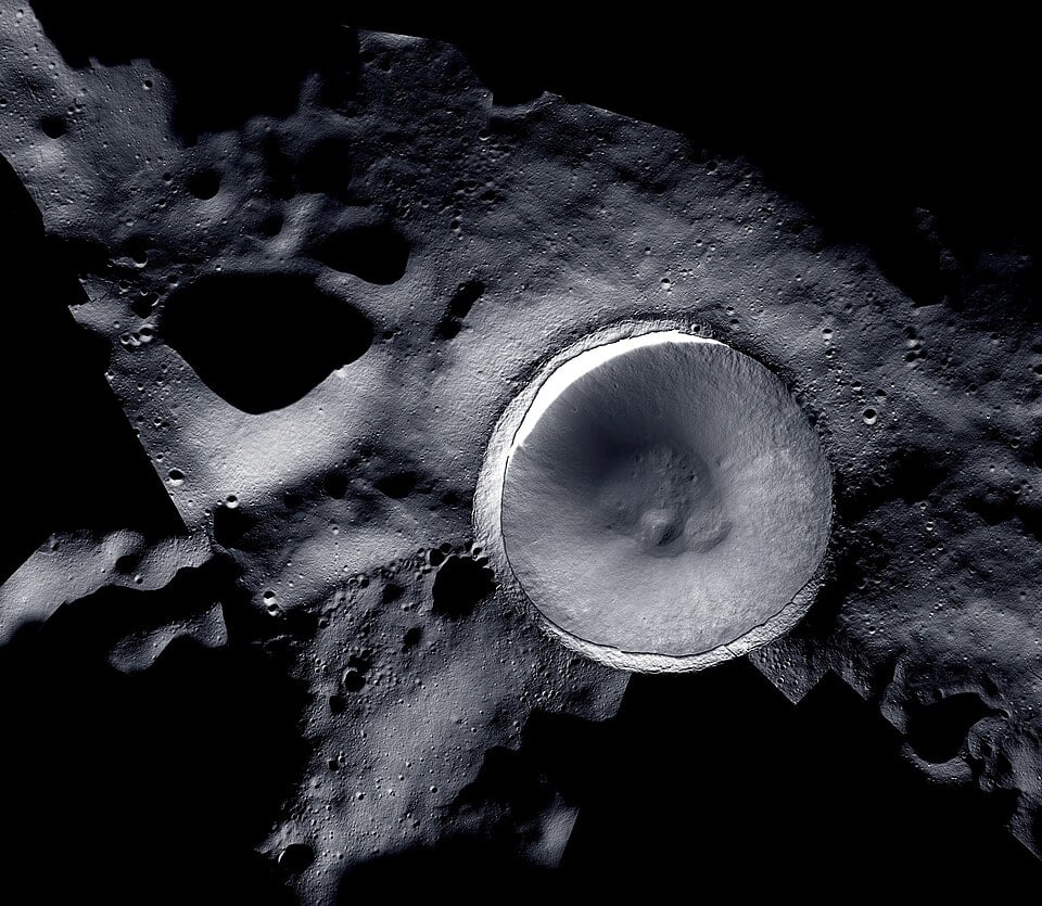 The lunar south pole at the centre of this image is situated on the rim of Shackleton Crater (Credit : By NASA/LROC (Lunar Reconnaissance Orbiter) and ShadowCam teams)
For mission planners, this matters enormously and they will use this information to identify landing sites. The Artemis programme has selected the lunar south pole as its target, and the actual ground condition including the depth of buried rock layers, the presence of ancient melt deposits and the subsurface architecture of the regolith will determine everything from safe landing zones to the viability of drilling for ice. A buried melt sheet just a few metres down, for instance, behaves very differently under a drill or a foundation than loose, granular regolith does and mistaking one for the other could have serious consequences. Radar is currently our sharpest tool for seeing through the dust. The picture it's painting is one of extraordinary complexity, and the work of decoding it has only just begun.
Source : Mapping of Patterned Regolith Textures Near the Lunar South Pole