On July 28th, the European Space Agency commanded its long-working Aeolus wind profile mission to re-enter Earth's atmosphere. It did that and disintegrated into pieces over Antarctica. Of course, satellites do this often. But, Aeolus was different. It maneuvered its way into a safe re-entry profile, a first-of-its kind activity designed to avoid populated regions on Earth.
To celebrate this accomplishment, ESA made a video showing a simulation of Aeolus's re-entry. It was created using a model of the Aeolus spacecraft, considering its shape, size, mass and materials, and the effect of "aerothermodynamics". That's the study of how high-velocity gases behave, including thermal effects between gases and solid surfaces.
The tool used, SCARAB, creates a simulation of Aeolus's reentry with 'six degrees of freedom', and shows the final moments of Aeolus's reentry, when the spacecraft is falling naturally in an uncontrolled descent. This bird's-eye view gave mission controllers a virtual view of their spacecraft making its final descent.
A simulation showing the last moments of ESA's Aeolus spacecraft as it followed a guided trajectory into Earth's atmosphere.About The Mission
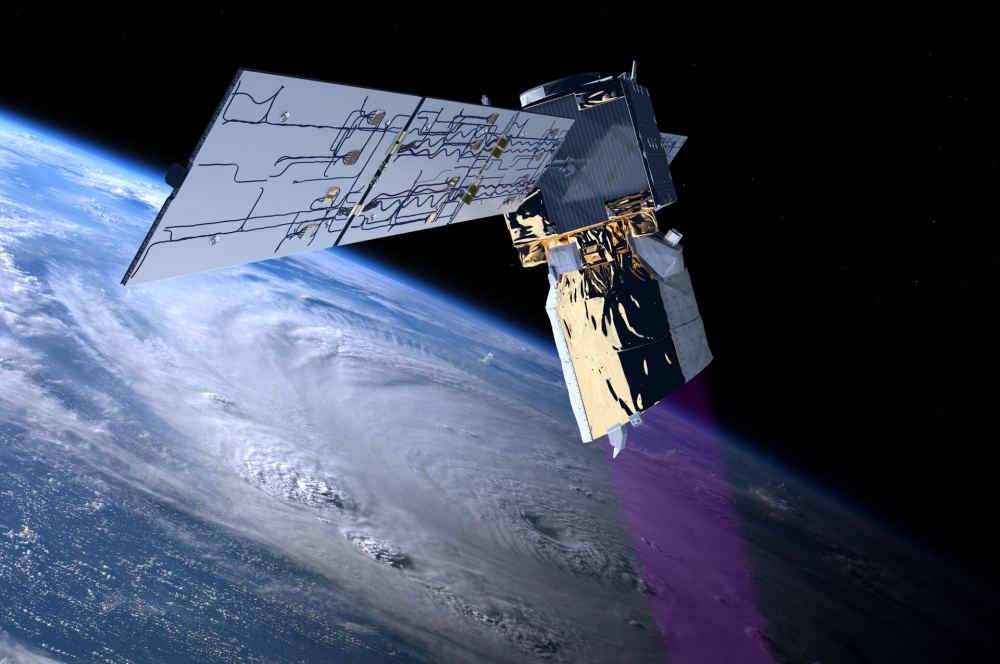
Aeolus was a valuable part of Earth observation satellite fleets launched by ESA and NASA, among others. The spacecraft's mission may be over, but its data contributed a great deal to the science of weather forecasting. In particular, it became the first satellite to acquire high-quality global profiles of Earth's wind. To do that, it used the only instrument it carried: a Doppler wind lidar that constantly measured winds up to an altitude of 30 km. It clocked velocities to an accuracy of 1 meter/second in the atmosphere up to 2 kilometers and to 2 meters per second in the troposphere up to 16 km. It could measure up to 100 wind profiles each hour.
The Doppler lidar (called ALADIN) made these measurements by firing ultraviolet light laser pulses into the atmosphere. Once in the wind streams, the light reflected off of gas molecules and dust. Some of the light scattered back to Earth, where a ground-based telescope collected it. By measuring the Doppler shift in those returned signals, scientists could figure out the horizontal speed of the winds at in the lowest 30 km of the atmosphere. This was a first-ever attempt to make these measurements, and Aeolus was able to do it successfully. Climate and weather forecasting models are now using the data it collected. It also contributed data for volcanic ash forecasts during eruptions—something extremely useful in aviation.
Guiding Aeolus Back to Earth
The spacecraft launched in 2018 and exceeded its three-year mission lifetime by two years. It was about to run out of fuel, leaving it to suffer an unguided re-entry. Plus, it had already dipped to a point where it was "seeing" the top of Earth's atmosphere. Part of this was due to solar activity "puffing up" the atmosphere. So, mission planners decided to plot a guided final trip to Earth for Aeolus while they still had fuel to manoeuver the spacecraft.
Engineers worked out a set of moves that allowed the spacecraft to fall naturally to about 280 km. Then, the spacecraft got steered to about 150 km above Earth's surface. At that point, the engineering team sent a final set of commands for the spacecraft to continue its path over unpopulated regions. At about 80 km, friction with the atmosphere mostly vaporized Aeolus disintegrating over Antartica. The U.S. Space Command confirmed the mission had ended, with the first assisted re-entry of any spacecraft.
Aeolus's legacy will continue with future wind-profile lidars aboard other spacecraft. Future satellite-based lidar missions will be useful for long-term studies of Earth winds. But, they also have other uses. For example, they could be used to calibrate energy scales used by different cosmic-ray observatories. Such instruments will also help advance the technologies used to create space-borne lasers used in lidars.
For More Information
Simulating Aeolus’s Demise: a Bird’s-Eye View
Aeolus: ESA's Wind Mission
Aeolus Re-entry: How We Made History
