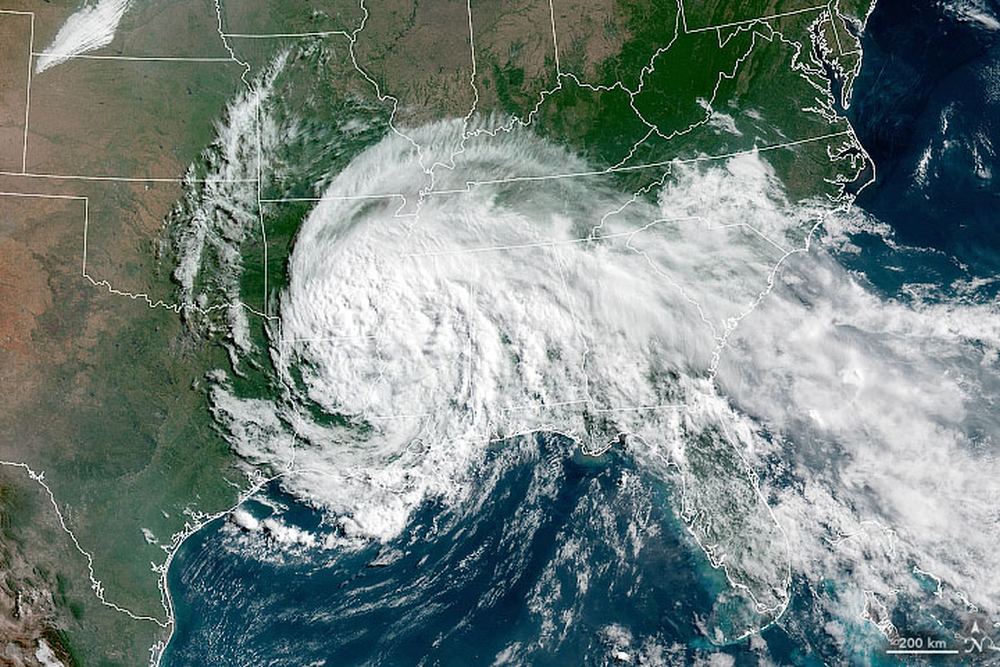
Satellite engineers know what every photographer knows: get close to your subject to get better pictures. Not just visible light pictures, but all across the spectrum. The lower altitude also improves things like radar, lidar, communications, and gps.
But when your subject is Earth, and Earth is surrounded by an atmosphere, getting closer is a delicate dance with physics. The closer a satellite gets to Earth, the more atmospheric drag it encounters. And that can mean an unscheduled plummet to destruction for Earth-Observing (EO) satellites.
Continue reading “Earth Observation Satellites Could be Flown Much Lower than Current Altitudes and Do Better Science”
