New Desktop Image Alert: The Moon Over Earth

hgdfhfhghdhhfhd

If you’re like me, you don’t change your computer’s desktop background nearly often enough… especially not considering all the fantastic space images that get released on an almost daily basis. But this picture, shared a couple of weeks ago by NASA’s Marshall Space Flight Center on their Flickr stream, really should inspire you to fix that. (I know it did for me!)

Captured by an Expedition 28 crew member aboard the International Space Station, this beautiful image shows a crescent-lit Moon seen through the upper layers of Earth’s atmosphere.

As it circles the globe, the ISS travels an equivalent distance to the Moon and back in about a day, making an excellent platform for viewing the Earth and its atmosphere. This photo shows the limb of Earth near the bottom transitioning into the orange-colored troposphere, the lowest and most dense portion of the Earth’s atmosphere. The troposphere ends abruptly at the tropopause, which appears in the image as the sharp boundary between the orange- and blue- colored atmosphere. Silvery-blue noctilucent clouds extend far above the Earth’s troposphere.

Expedition 28 began on May 23, 2011, with a crew consisting of Andrey Borisenko, Ron Garan, Alexander Samokutyaev, Sergei Volkov, Mike Fossum, and Satoshi Furukawa.

Image credit: NASA (Source)


First-Ever Video of an ATV Vehicle Into Orbit!

Separation of an Ariane booster (Screenshot)

Yesterday, June 5, the European Space Agency launched their ATV-4 Albert Einstein cargo vessel from their spaceport in French Guiana. Liftoff occurred at 5:52 p.m. EDT (2152 GMT), and in addition to over 7 tons of supplies for the ISS a special payload was also included: the DLR-developed STEREX experiment, which has four cameras attached to the Ariane 5ES rocket providing a continuous 3D view of the mission, from liftoff to separation to orbit and, eventually, docking to the Station on June 15.

The dramatic video above is the first-ever of an ATV vehicle going into free-flight orbit — check it out!

“The highlight of the STEREX deployment will be observing the settling of ATV-4 in orbit. STEREX for this event will include three-dimensional video sequences to study the dynamic behavior of the spacecraft during the separation phase. This opens up for the ATV project engineers an entirely new way to monitor the success of their work and also to gain important new experiences for the future.”DLR blog (translated)

If you look along the horizon at around 5:20, you can make out the plume from the launch.

At 20,190 kg (44, 511 lbs) ATV Albert Einstein is the heaviest spacecraft ever launched by Ariane. Read more here.

(HT to Daniel Scuka at ESA.)

Bottoms Up! It’s a Year of Lunar Libration From Down Under

Full moon, south up (NASA/GSFC)


Do you live in the southern hemisphere? Are you tired of all those views of the Moon that favor celestial north as up? Well here’s a video just for you from the good folks at the GSFC Scientific Visualization Center — it shows the full 2013 year of lunar phases and libration as seen from Earth’s southern half using data gathered by NASA’s Lunar Reconnaissance Orbiter. (Because what’s so great about north, anyway?)

Each frame represents one hour. Side graphs indicate the Moon’s orbit position, sub-Earth and subsolar points, and distance from the Earth at true scale. Awesome! Um, I mean… bonzer!

And what’s up with all that wobbling around? Find out more below:

The Moon always keeps the same face to us, but not exactly the same face. Because of the tilt and shape of its orbit, we see the Moon from slightly different angles over the course of a month. When a month is compressed into 24 seconds, as it is in this animation, our changing view of the Moon makes it look like it’s wobbling. This wobble is called libration.

The word comes from the Latin for “balance scale” and refers to the way such a scale tips up and down on alternating sides.

The Moon is subject to other motions as well. It appears to roll back and forth around the sub-Earth point (the location on the Moon’s surface where the Earth appears directly overhead, at the zenith.) The roll angle is given by the position angle of the axis, which is the angle of the Moon’s north pole relative to celestial north. The Moon also approaches and recedes from us, appearing to grow and shrink. The two extremes, called perigee (near) and apogee (far), differ by more than 10%.

Read more and see the current phase of the Moon (bottom up) on the GSFC Dial-a-Moon page here.

Source: NASA Goddard Space Flight Center Scientific Visualization Studio

Time-Lapse: Earth

If you couldn’t tell, we love time-lapse videos… whether they’re made of photos looking up at the sky from Earth or looking down at Earth from the sky! This latest assembly by photographer Bruce W. Berry takes us on a tour around the planet from orbit, created from images taken by astronauts aboard the International Space Station and expertly de-noised, stabilized and smoothed to 24 frames per second. The result is — like several others before — simply stunning, a wonderful reminder of our place in space and the beauty of our living world.

See more of Bruce’s time-lapse projects here.

Music: “Manhatta” composed & performed by The Cinematic Orchestra.

Original images courtesy of the Image Science & Analysis Laboratory, NASA Johnson Space Center, The Gateway to Astronaut Photography of Earth.

Warning Shot: a “Bullet Hole” on the ISS

A hole from a meteorite in the Space Station's solar array

Canadian astronaut and Expedition 35 commander Chris Hadfield just shared this photo on Twitter, showing a portion of one of the solar array wings on the ISS… with a small but very visible hole made by a passing meteoroid in one of the cells.

In typical poetic fashion, Commander Hadfield referred to the offending object as “a small stone from the universe.”

“Glad it missed the hull,” he added.

Hole in an ISS solar cell made by a meteoroid

While likened to a bullet hole, whatever struck the solar panel was actually traveling much faster when it hit. Most bullets travel at a velocity of around 1,000-2,000 mph (although usually described in feet per second) but meteoroids are traveling through space at speeds of well over 25,000 mph — many times faster than any bullet!

Luckily the ISS has a multi-layered hull consisting of layers of different materials (depending on where the sections were built), providing protection from micrometeorite impacts. If an object were to hit an inhabited section of the Station, it would be slowed down enough by the different layers to either not make it to the main hull or else merely create an audible “ping.”

Unnerving, yes, but at least harmless. Still, it’s a reminder that the Solar System is still very much a shooting gallery and our spacefaring safety relies on the use of technology to protect ourselves.

Image: NASA / Chris Hadfield

Fact: The 110 kilowatts of power for the ISS is supplied by an acre of solar panels!

Another Amazing Earth View: The Andes Under a Blue Pacific Fog

View of the Andes from the ISS on Feb. 4, 2013 (NASA)

Even though he’s a busy guy, Expedition 34 astronaut Chris Hadfield still takes the time to share some of his amazing views from orbit aboard the ISS. One of his most recent photos is this stunning view of Andean ridges rising up from a blue haze of Pacific fog, the arc of Earth’s horizon in the distance. Gorgeous! (Edit: according to a labeled image by Peter Caltner, this is looking southeast into northern Argentina – no Pacific in view. So the haze is coming from the valley, not the ocean.)

Shared on Twitter at 6:25 p.m. EST, this has quickly become one of Hadfield’s more popular images — and for good reason. In fact sometimes it’s hard to keep up with this high-flying Canadian, who easily posts half a dozen or more photos from all across the world every day on Twitter, Facebook, and his Google+ profile (which is managed by his son Evan.) But since the ISS goes around the globe 16 times a day, there’s certainly no shortage of sights for Chris and the Exp. 34 crew!

Check out a few more of Chris Hadfield’s recent photos below:

BCSx8vRCYAAp7H7.jpg-large

The Mississippi delta deposits “the soil of America’s heartland” into the Gulf of Mexico (NASA)

BCSGDM6CAAAlncM.jpg-large

“It’s a bird, it’s a plane… it’s a river in South America!” tweeted Hadfield. (Actually it’s looking west along the Rio São Francisco river in Brazil.) NASA

BCNlZIhCUAEJqIA.jpg-large

Chesapeake Bay from orbit. “You can even see the causeway,” Hadfield noted. (NASA)

BCIsyfPCEAA2A2i.jpg-large

On Feb. 2, Hadfield took this photo of storm clouds over Africa. “My breath was taken away,” he wrote. (NASA)

BCHoyr5CEAEHRGi.jpg-large

Toronto on the shore of Lake Ontario, “Canada’s most populous city” (NASA)

Want to see more of Chris Hadfield’s images from orbit? Follow him on Twitter and Facebook and over on Google+. (Just don’t be surprised if you find yourself changing your desktop background a lot more often!)

And for even more space adventures, tune in to the CSA website on February 7 at 10:30 a.m. EST when Col. Hadfield will have a live chat with William Shatner, building upon their brief (but immensely popular) impromptu web conversation from last month. He’ll also be taking questions from “space tweeps” on-site at CSA.

Take a Rollercoaster Ride Around Venus

If you’ve ever wanted to see what it’s like to buzz Venus like only a spacecraft can, here’s your chance: this is a video animation of images taken by ESA’s Venus Express as it makes a pole-to-pole orbit of our neighboring world.

Captured in ultraviolet wavelengths, the images were acquired by the spacecraft’s Venus Monitoring Camera last January over a period of 18 hours. It’s truly a “day in the life” of Venus Express!

From ESA’s description of the video:

We join the spacecraft from a staggering 66,000 km above the south pole, staring down into the swirling south polar vortex. From this bird’s-eye view, half of the planet is in darkness, the ‘terminator’ marking the dividing line between the day and night sides of the planet.

Intricate features on smaller and smaller scales are revealed as Venus Express dives to just 250 km above the north pole and clouds flood the field of view, before regaining a global perspective as it climbs away from the north pole.

The observed pattern of bright and dark markings is caused by variations in an unknown absorbing chemical at the Venus cloud tops.

Read more: Are Venus’ Volcanoes Still Active?

False-color image of cloud features on Venus. Captured by Venus Express from a distance of 30,000 km (18,640 miles) on December 8, 2011. (ESA/MPS/DLR/IDA)

Source: European Space Agency

How Long is a Day on Mercury?

1/3 the distance from the Sun than Earth, it should be no surprise that a day on Mercury is a real scorcher with temperatures soaring over 400 ºC. But in addition to its solar proximity it also has an extremely slow rotation: a single day on Mercury is 58.6 Earth days long… and you thought your Mondays lasted forever!

To be even more precise, for every 2 Mercury years, 3 Mercury days pass — a 3:2 spin-orbit resonance, caused by the planet’s varying elliptical orbit. (This also makes for some interesting motions of the Sun in Mercury’s sky.)

To illustrate this, UK’s The Open University has published a new video in their 60 Second Adventures in Astronomy series… check it out above (and see more of their excellent and amusing animations here.)

Video: The Open University. Narrated by David Mitchell.

Exploded Rocket Fragments Could Endanger ISS and Future Missions

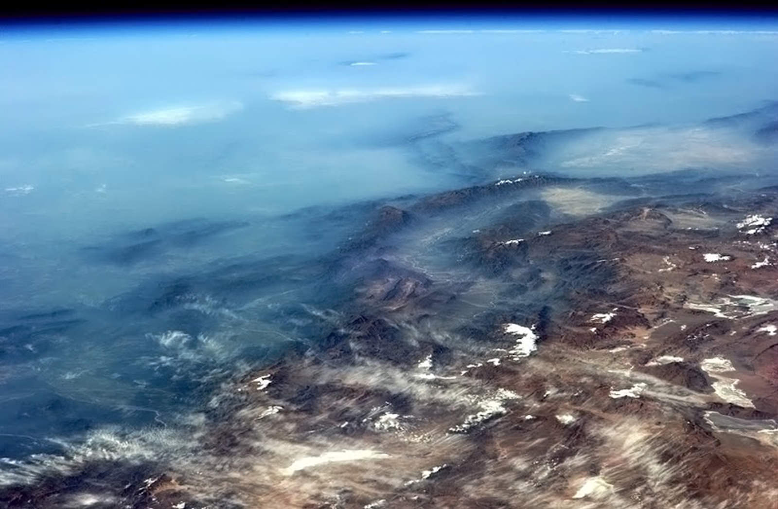
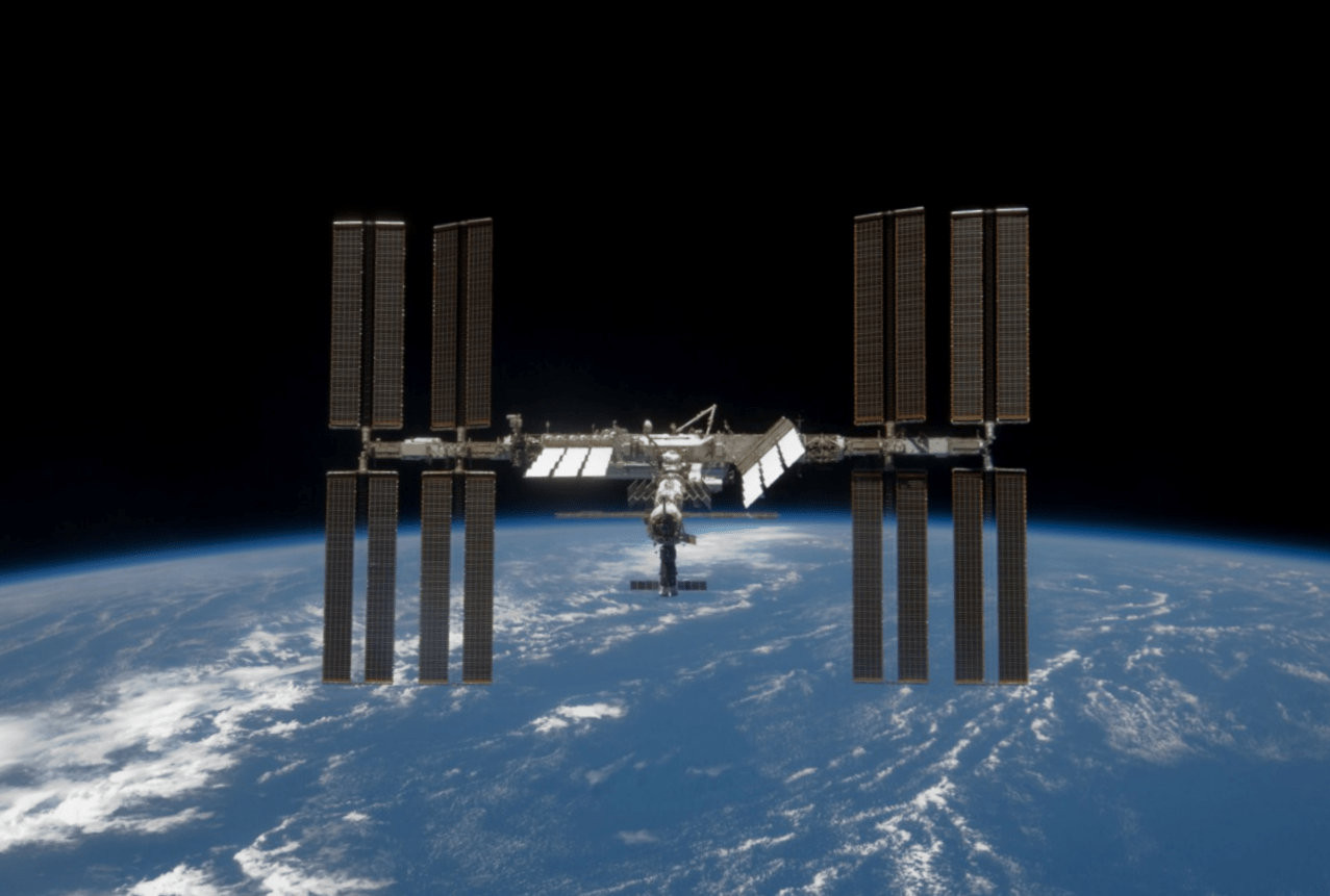
The International Space Station will have to look out for new debris from an exploded Russian rocket (NASA image)

Traveling through low-Earth orbit just got a little more dangerous; a drifting Russian Breeze M (Briz-M) rocket stage that failed to execute its final burns back on August 6 has recently exploded, sending hundreds of shattered fragments out into orbit.

Russia and the U.S. Defense Department (JFCC-Space) have stated that they are currently tracking 500 pieces of debris from the disintegrated Breeze M, although some sources are saying there are likely much more than that.

After a successful liftoff via Proton rocket on August 6 from the Baikonur Cosmodrome, the Breeze M upper stage’s engines shut off after only 7 seconds as opposed to the normal 18 minutes, leaving its fuel tanks filled with 10 to 15 tons of hydrazine and nitrogen tetroxide propellants. Its payloads, the Indonesian Telkom 3 and the Russian Express-MD2 communications satellites, were subsequently deployed into the wrong orbits as the Breeze M computer continued functioning.

Although originally expected to remain intact for at least another year, the rocket stage “violently disintegrated” on October 16. Evidence of the explosion was first observed by astronomer Robert McNaught at Australia’s Siding Springs Observatory, who counted 70 fragments visible within the narrow field-of-view telescope he was using for near-Earth asteroid observations.

The exact cause of the explosion isn’t known — it may have been sparked by an impact with another piece of space junk or the result of stresses caused by the Breeze M’s eccentric orbit, which varied in altitude from 265 to 5,015 kilometers (165 miles to 3,118 miles) with an inclination of 49.9 degrees.

This was the third such breakup of a partially-full Breeze M upper stage in orbit, the previous events having occurred in 2007 and 2010, and yet another Breeze M still remains in orbit after a failed burn in August 2011.

Most of the latest fragments are still in orbit at altitudes ranging from 250 to 5,000 km (155 to 3,100 miles), where they are expected to remain.

“Although some of the pieces have begun to re-enter, most of the debris will remain in orbit for an extended period of time.”

– Jamie Mannina, US State Department spokesperson

According to NASA the debris currently poses no immediate threat to the Space Station although the cloud is “believed not to be insignificant.” Still, according to a post on Zarya.com the Station’s course will periodically take it within the Breeze M debris cloud, and “will sometimes spend several days at a time with a large part of its orbit within the cloud.”

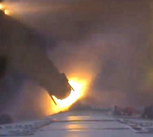
Source: RT.com and SpaceflightNow.com.  Inset image: the Breeze M (Briz-M) upper stage which disintegrated on Oct. 16. (Khrunichev)

Saturn Shows Off Its Shadow

Take a look up at the enormous shadow cast by Saturn onto its own rings in this raw image, acquired by NASA’s Cassini spacecraft on September 18, 2012.

Cassini captured this image from below Saturn’s ring plane at a distance of 1,393,386 miles (2,242,437 kilometers). It shows not only the gas giant’s shadow but also the wispy nature of the rings, which, although complex, extensive and highly reflective (the light seen on Saturn above is reflected light from the rings!) they are still very thin — less than a mile (about 1 km) on average and in some places as little as thirty feet (10 meters) thick.

Seen in the right light, some of the thin innermost rings can seem to nearly disappear entirely — especially when backlit by Saturn itself.

Views like the one above are once again possible because of Cassini’s new orbit, which takes it high above and below the ring plane, providing a new perspective for studying Saturn and its moons. Ultimately by next April the spacecraft will be orbiting Saturn at an inclination of about 62 degrees — that’d be like an orbit around Earth that goes from Alaska to the northernmost tip of Antarctica. (Find out how Cassini alters its orbit here.)

With this viewpoint Cassini will get some great views of Saturn’s north and south poles, which are gradually moving into their summer and winter seasons, respectively, during the ringed planet’s 29.5-Earth-year orbital period.

After more than 8 years in orbit Cassini is still fascinating us with enthralling images of Saturn on a regular basis. Read more about the Cassini mission here.

Cassini spots shepherd moons Pan (within the Encke Gap) and Prometheus (along the inner edge of the F ring) in an image acquired on Sept. 18, 2012

Images: NASA/JPL/Space Science Institute.