
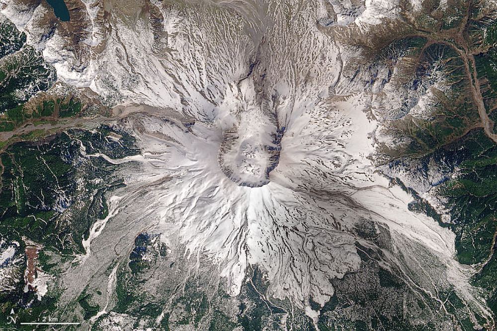
One day, my Grade Nine science class got way more interesting.
Suddenly, volcanoes weren’t just something in textbooks. Though I was in neighbouring British Columbia when Mt. St. Helens erupted, there was still a layer of ash on our cars and everything else. For a teenager with a burgeoning interest in science, it was awesome.
Continue reading “40 Years Ago, Mount St. Helens Blew its Top Off”