
The latest views of Earth from NASA’s Aqua and Terra satellites are looking a bit hazy from wildfires burning in wilderness areas of the United States and Siberia.
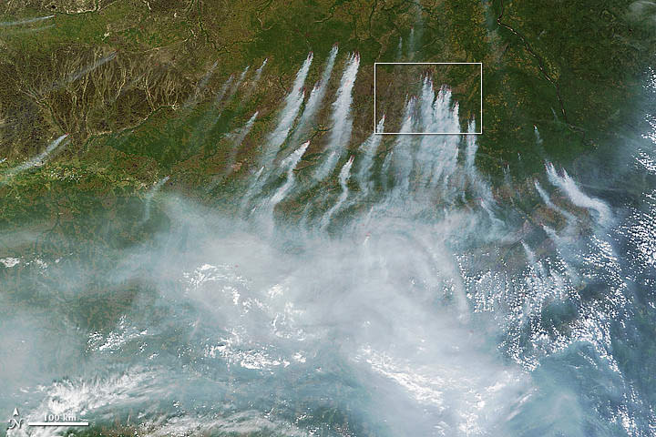
The above image acquired July 18 from the Moderate Resolution Imaging Spectroradiometer, or MODIS, aboard the Terra satellite, shows a whopping 198 wildfires burning across Siberia. You can view more of this huge fire at NASA’s Earth Observatory website. The fires have charred an area of more than 83 square kilometers. Some of the fires were started by people who lost control of agricultural fires but some fires were started by lightning.

Another NASA earth-observing satellite, Aqua, has taken dramatic images of the High Park Fire just west of Fort Collins, Colorado and the Whitewater-Baldy Complex Fire in southwestern New Mexico. The High Park Fire has grown to more than 235 square kilometers, burning 180 structures and leading to the death of one person. It has become one of the most destructive and largest fires in Colorado history. Thankfully, the
Besides measuring the smoke plume and fire extent, much can be learned using satellite images of wildfires. Types of vegetation can affect the type and color of smoke emitted by the wildfire. Grassland fires tend to burn quickly and give off carbon-rich black smoke. Forest fires where moisture is higher give off thicker smoke; a combination of organic rich ash and water vapor, that ranges in color from brown to bright white.
 On the plus side for weather buffs, each of the fires have produced rare pyrocumulus, or fire clouds. Wildfires and volcanos can produce these dramatic clouds as intense heating causes the air to rise. As the rising air cools, water vapor in the ash cloud condenses just like a normal cloud. The ash particles provide nuclei for water to condense. Sometimes this moisture will fall back on the fire as rain. Dave Lipson, a meteorologist with the National Oceanic and Atmospheric Administration told the Denver Post that calm and clear weather along Colorado’s Front Range made the towering pyrocumulus cloud look especially menacing Tuesday. Tuesday afternoon, the lone fire cloud could be seen from 40 miles away from Denver.
Lead image caption: NASA image courtesy Jeff Schmaltz, LANCE MODIS Rapid Response. Instrument: Terra – MODIS
Second image caption: High Park Fire, Colorado from NASA’s Aqua MODIS
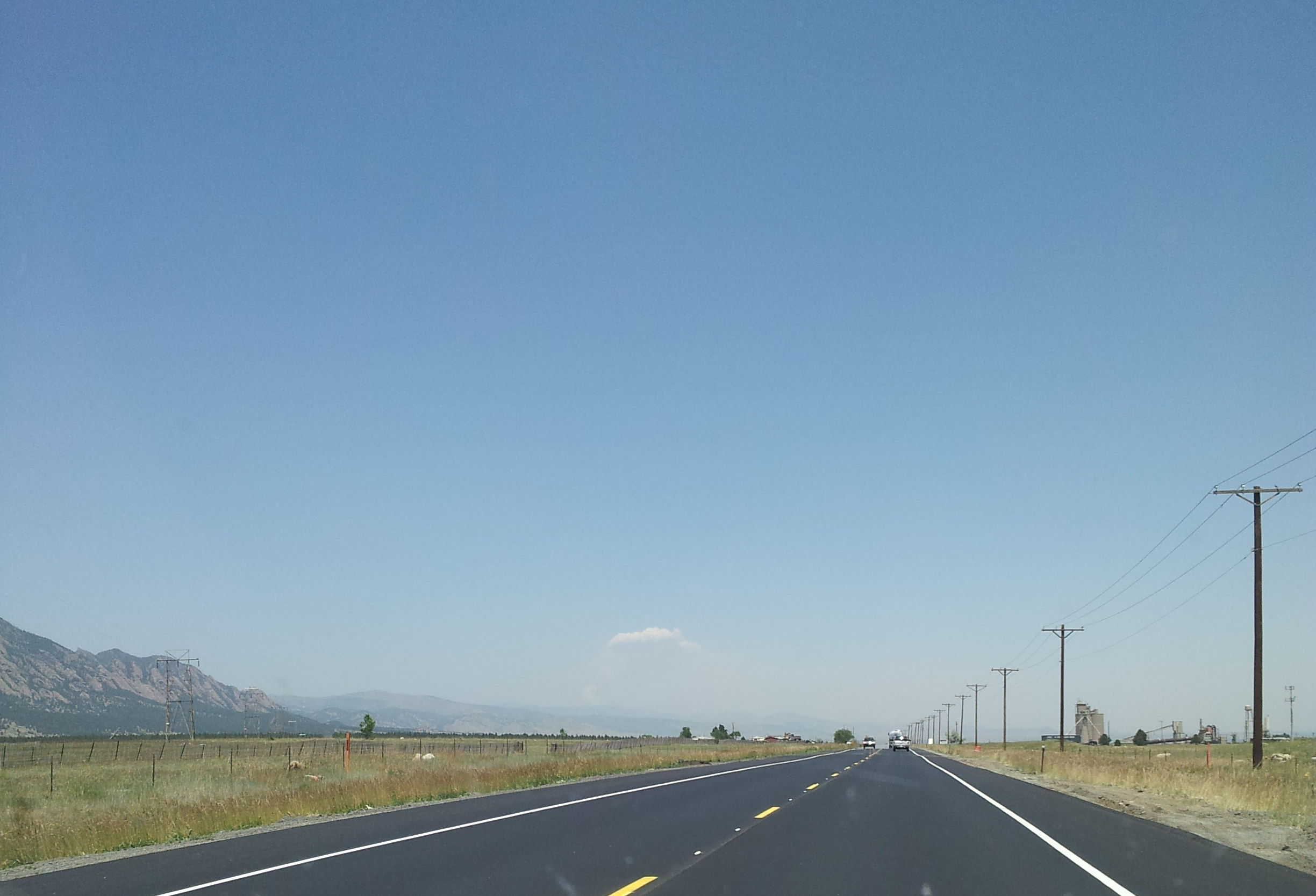
Third image caption: Looking north near Boulder, Colorado at the pyrocumulus cloud produced from the High Park Fire. Photo: John Williams