[/caption]
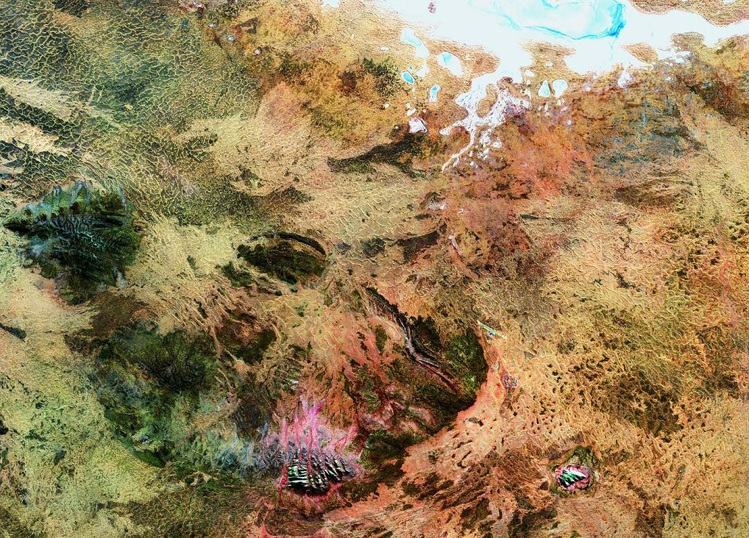
Is this a close-up of what’s in that long forgotten plastic container you found on the back shelf of your refrigerator? No. It’s a Landsat 5 image of some of the most sacred areas in the Australian Outback. Let’s learn what they are…
The big picture is the Amadeus Basin – a sprawling area which covers much of the southern quarter of the Northern Territory and extends about 150 km into Western Australia. At the top of the image, you’ll see the salty Lake Amadeus. But looks here can be deceiving. Most of the time it isn’t a lake by traditional standards… it’s a huge salt deposit that awaits rainfall to become fluid.
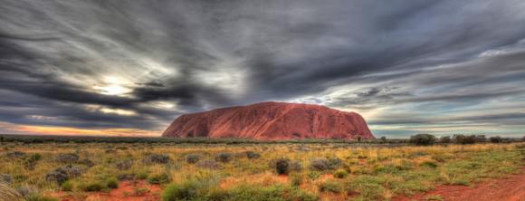
The “bumps” at the center of the bottom of the image is Kata Tjuta, with its tallest peak being Mount Olga. Here the Pitjantjatjara Dreamtime legends begin, with nighttime ceremonies not revealed to outsiders. These legends are very beautiful and the formations echo their sentiments. Forty kilometres east of Kata Tjuta (and to the right) is one of the oldest formations on Earth – Ayers Rock – known to the Aboriginals as Uluru.

Formed some 500 million years ago when an ocean still covered the area, Uluru is thought of as the center of creation… not hard to imagine given that its singularity rises 1,142 feet above the desert and the base is an amazing 5 miles around. Ayers Rock consists of cave-covered walls with deep runnels caused by perpetual erosion. Aboriginal legend has it that the blood-red Uluru arose from the ocean in protest of war.
Perhaps a legend we’d all do well to listen to, eh?
Original Image: ESA – Observing Earth. Many thanks to the incomparable Joe Brimacombe for the use of his Ayers Rock image. Be sure to visit Joe’s Ayers Rock Area photo pages!

