MOM celebrates 1 Year at Mars
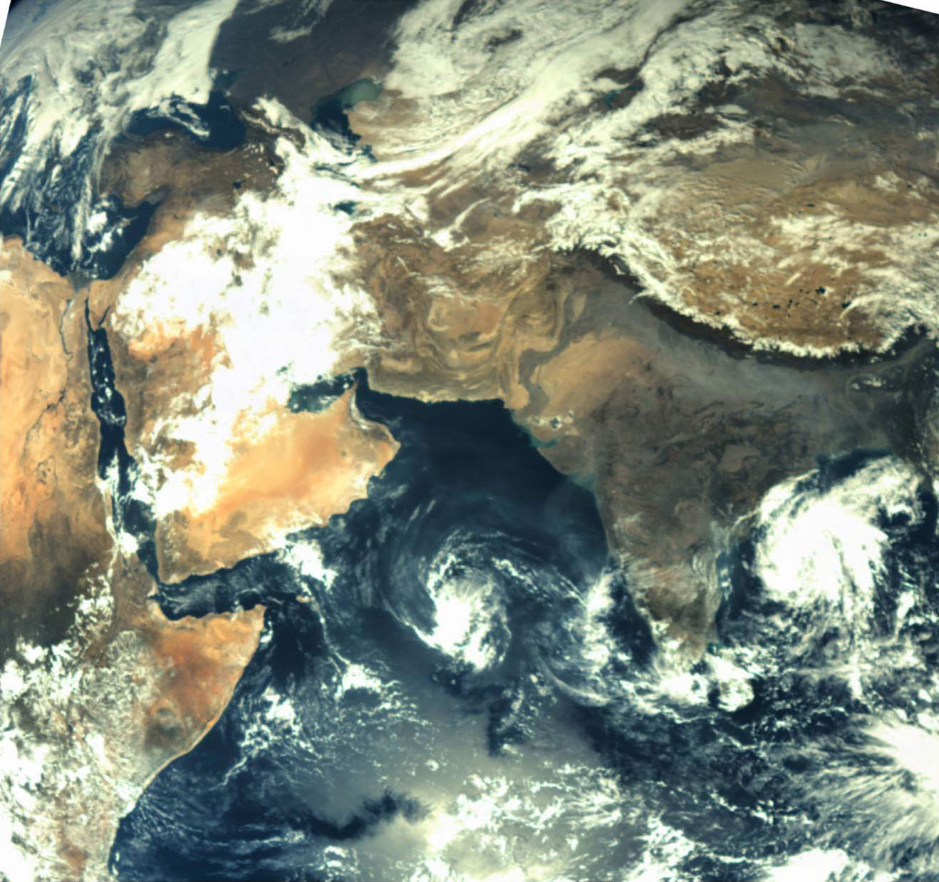
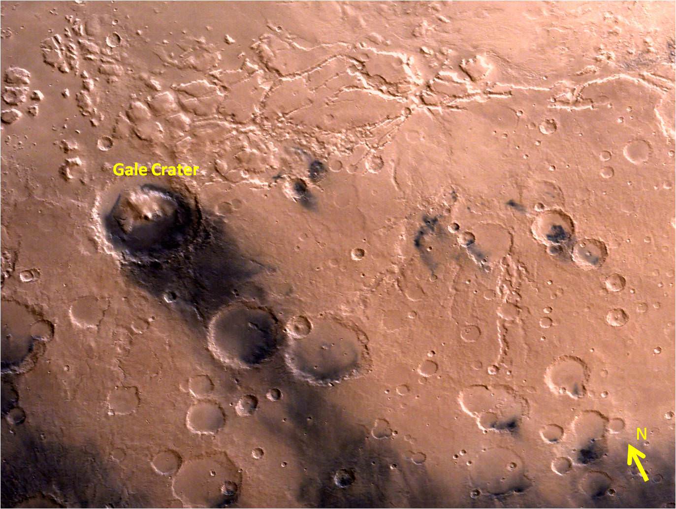
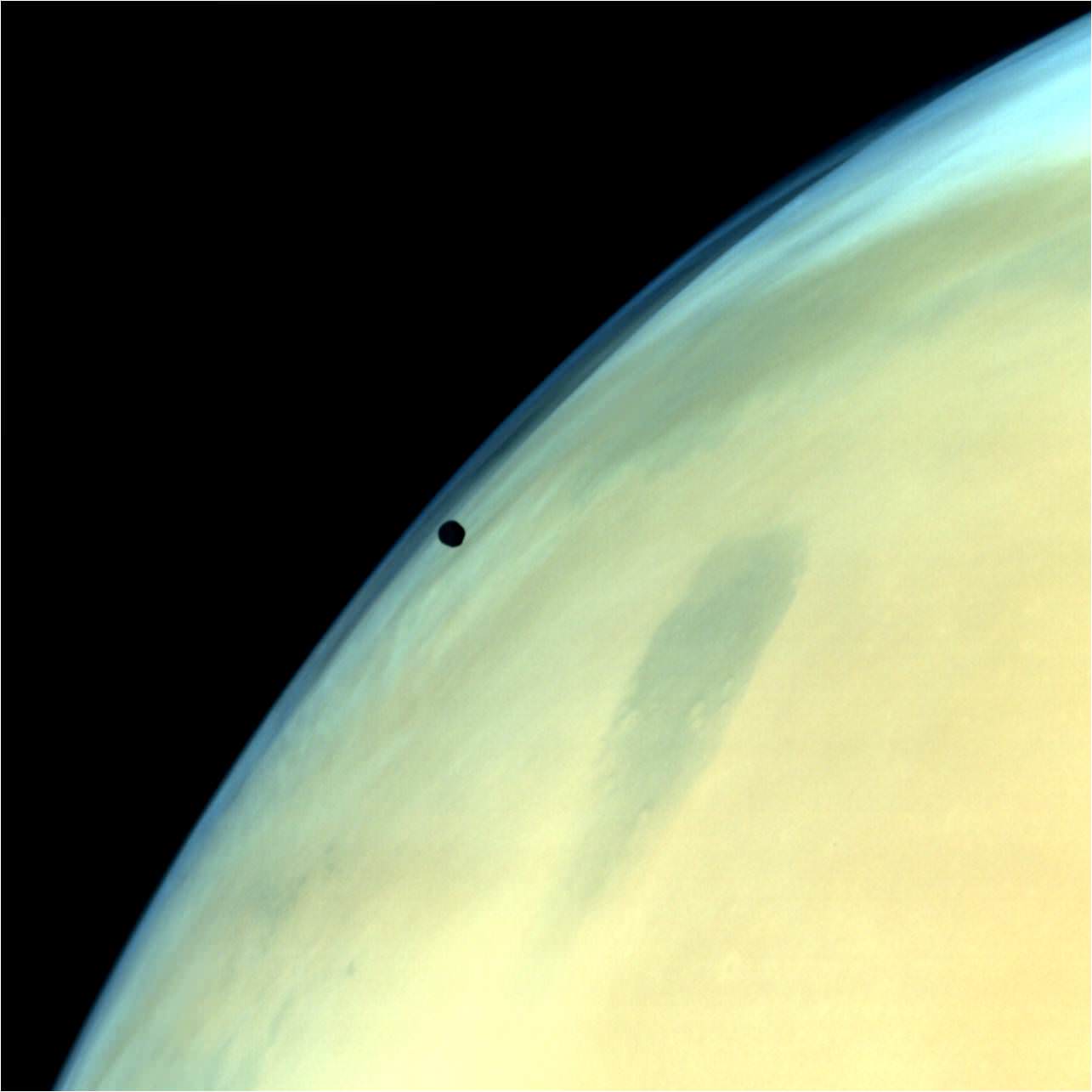
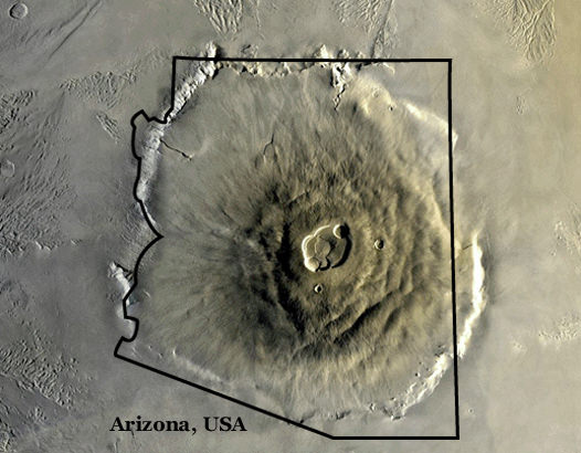
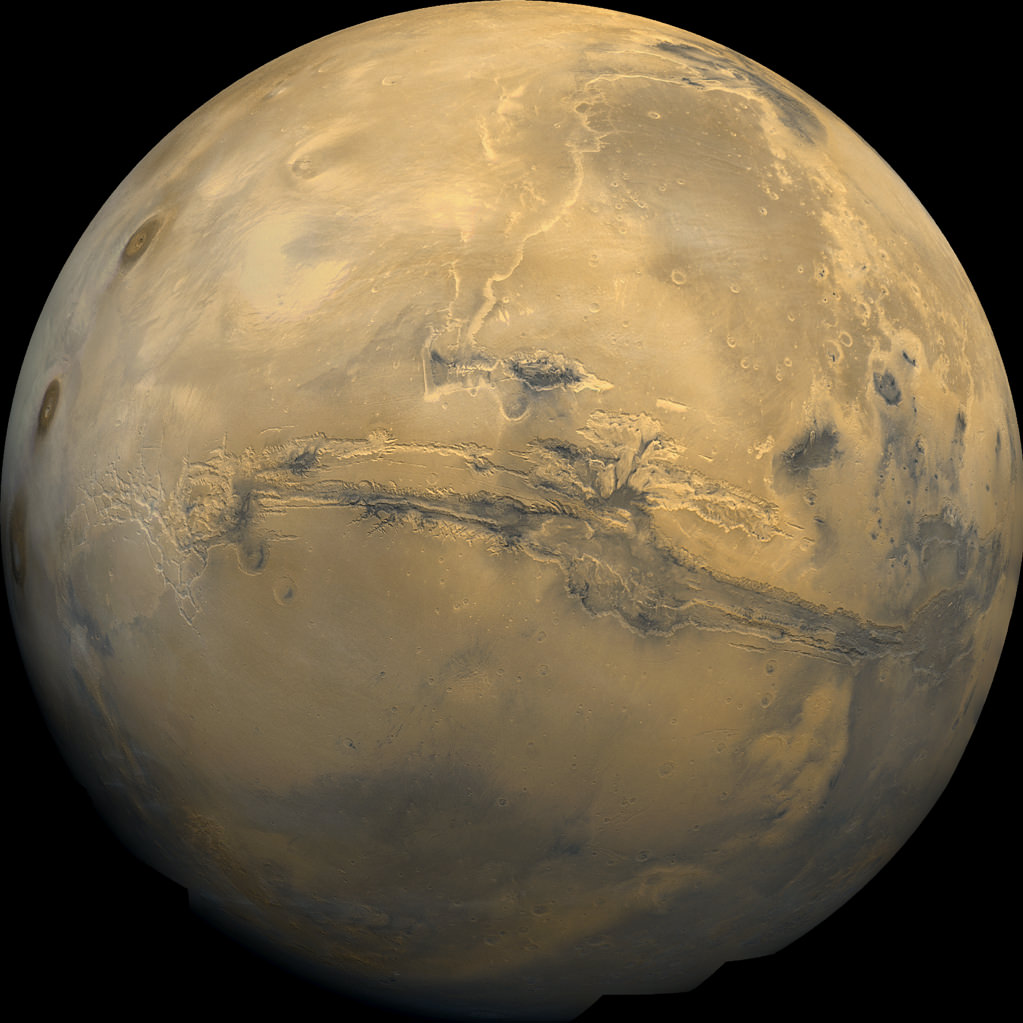
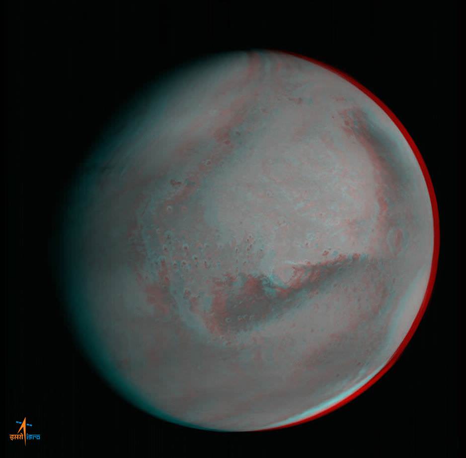
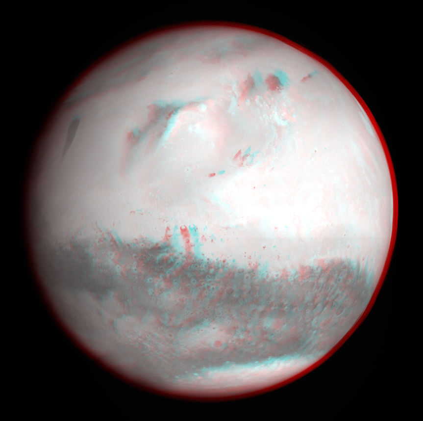
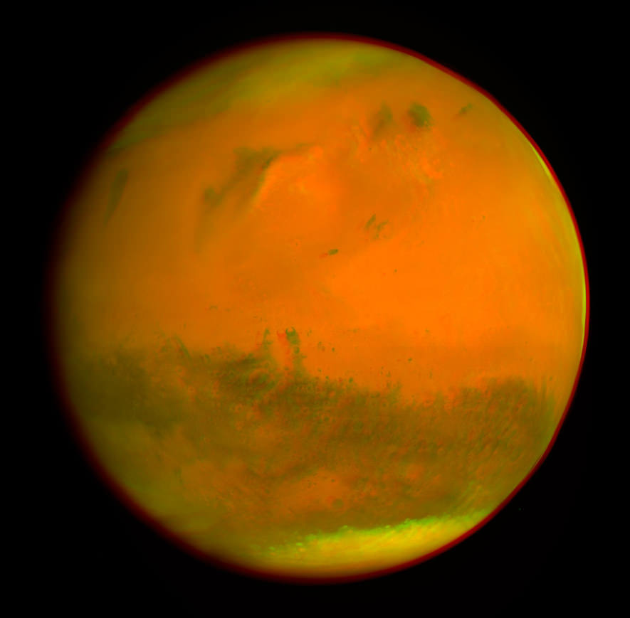
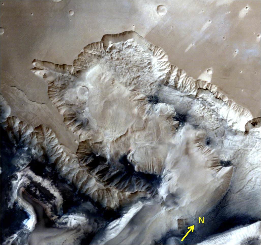
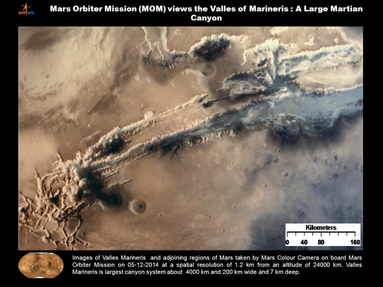
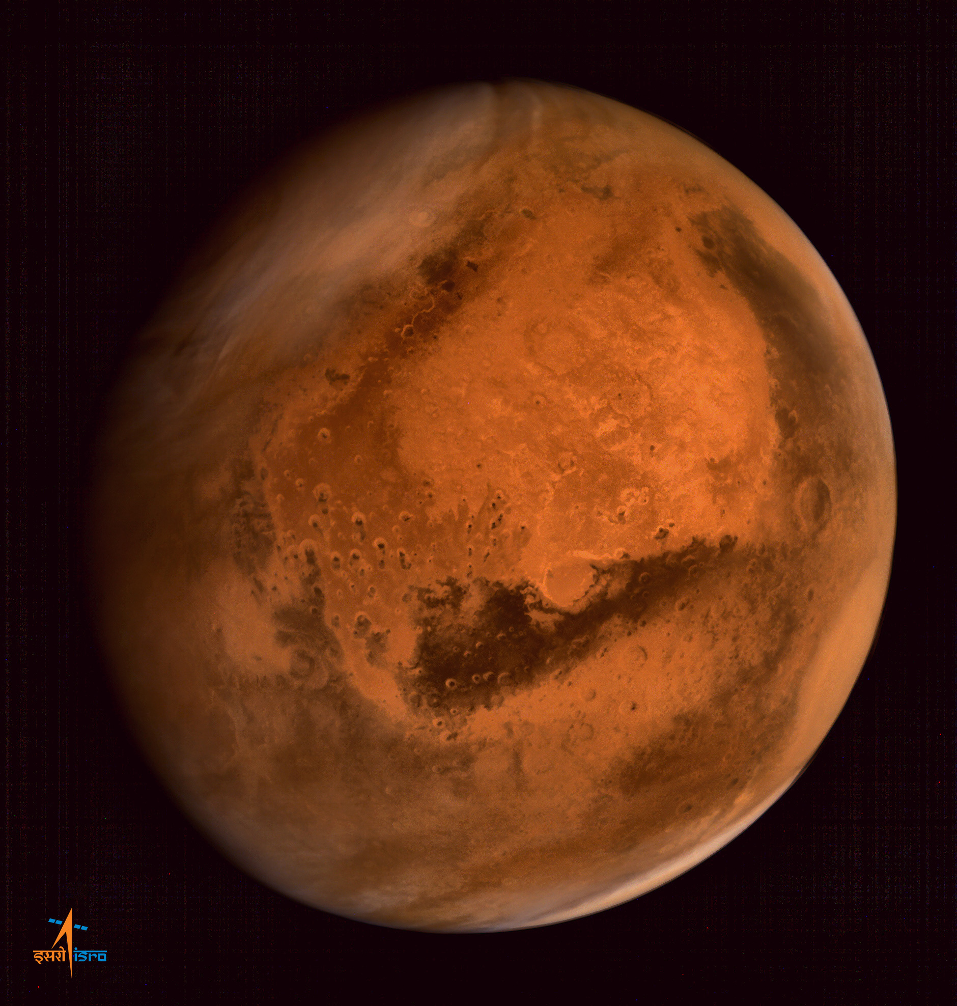
Olympus Mons, Tharsis Bulge trio of volcanoes and Valles Marineris from ISRO’s Mars Orbiter Mission. Note the clouds and south polar ice cap. Credit: ISRO[/caption]
India’s historic first mission to Mars is now celebrating one year orbiting the Red Planet and may continue working for years to come. During year one the spacecraft was highly productive, achieving its goals of taking hordes of breathtaking images and gathering scientific measurements to study Mars atmosphere, surface environments, morphology, and mineralogy.
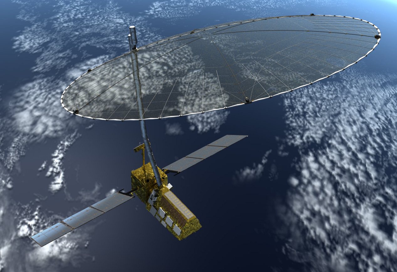
The Mars Orbiter Mission, or MOM, is India’s first deep space voyager to explore beyond the confines of her home planets influence and successfully arrived at the Red Planet after the “history creating” orbital insertion maneuver on Sept. 23/24, 2014 following a ten month interplanetary journey from Earth.
The MOM orbiter was designed and developed by the Indian Space Research Organization (ISRO), India’s space agency, which is the equivalent of NASA.
“Mars Orbiter spacecraft marks one year of its life around the Red Planet today [Sept. 24, IST],” said ISRO. It was primarily designed as a technology demonstrator but is also outfitted with significant science instruments.
The probe is equipped with a 15 kg (33 lb) suite of five indigenous instruments to conduct meaningful science – including the tri color Mars Color Camera imager (MCC) and a methane gas sniffer (MSM) to study the Red Planet’s atmosphere, morphology, mineralogy and surface features. Methane on Earth originates from both geological and biological sources – and could be a potential marker for the existence of Martian microbes.
“After successfully completing one year of the mission life around Mars, now a large data set has been acquired by all five payloads of MOM,” ISRO stated.
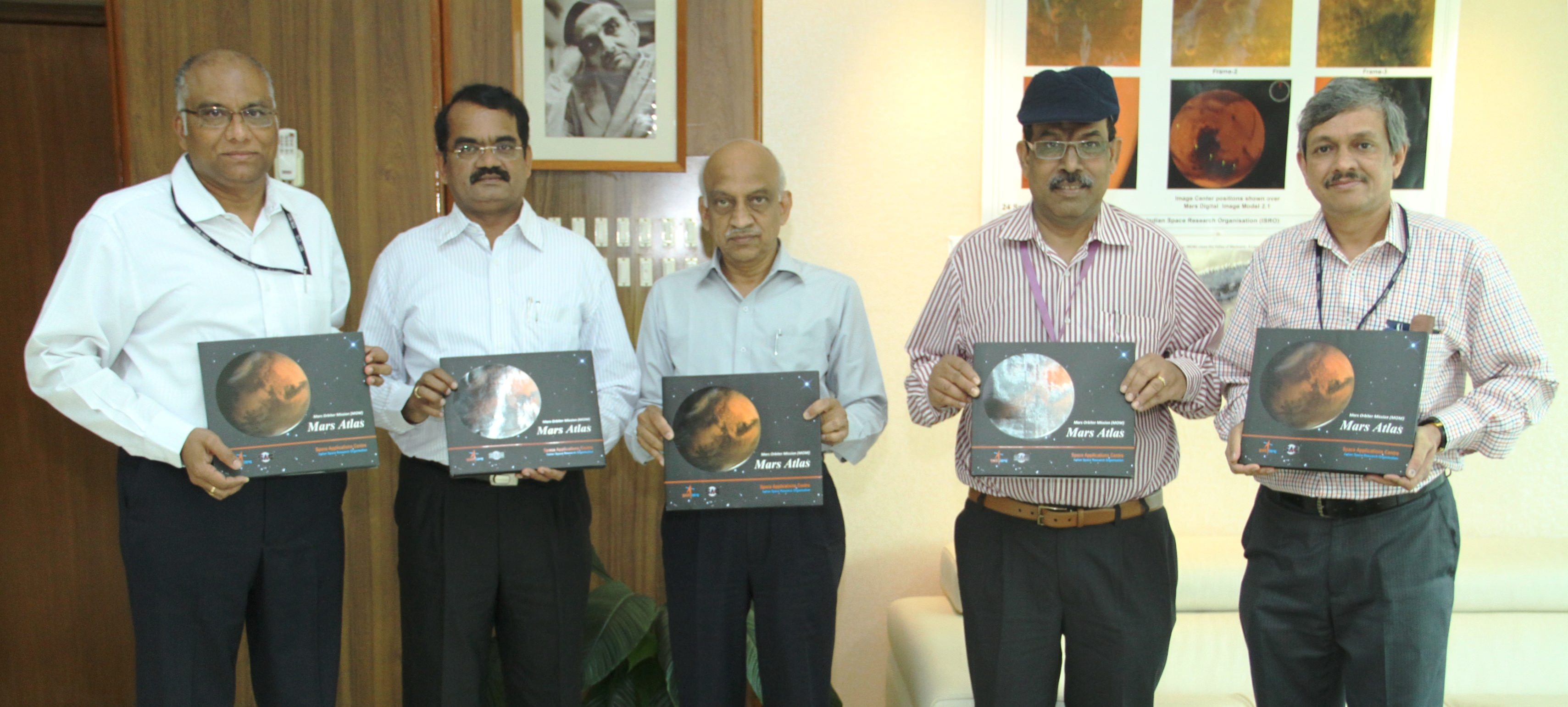
To mark the one year anniversary ISRO released a new 120 page “Mars Atlas” of imagery and results, which can be downloaded from the ISRO website.
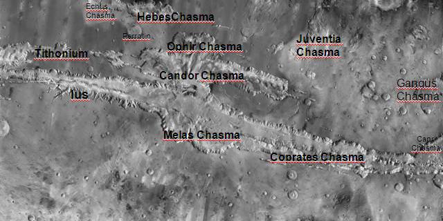
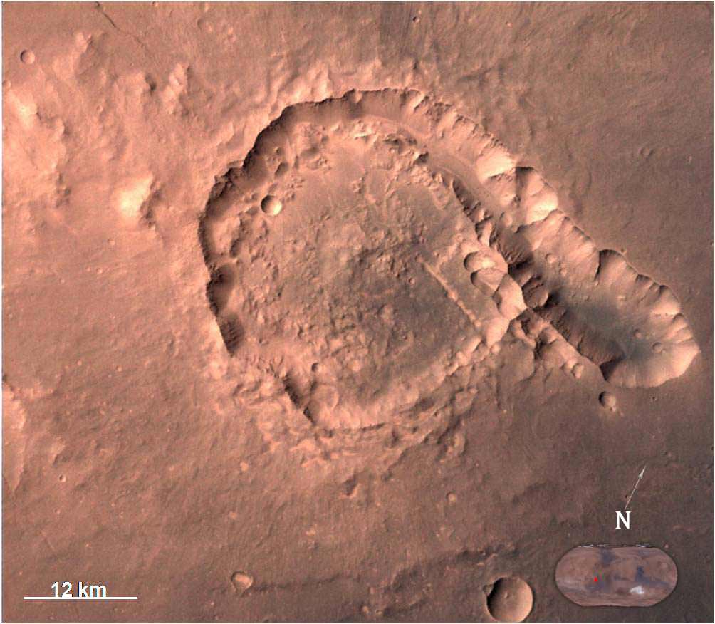
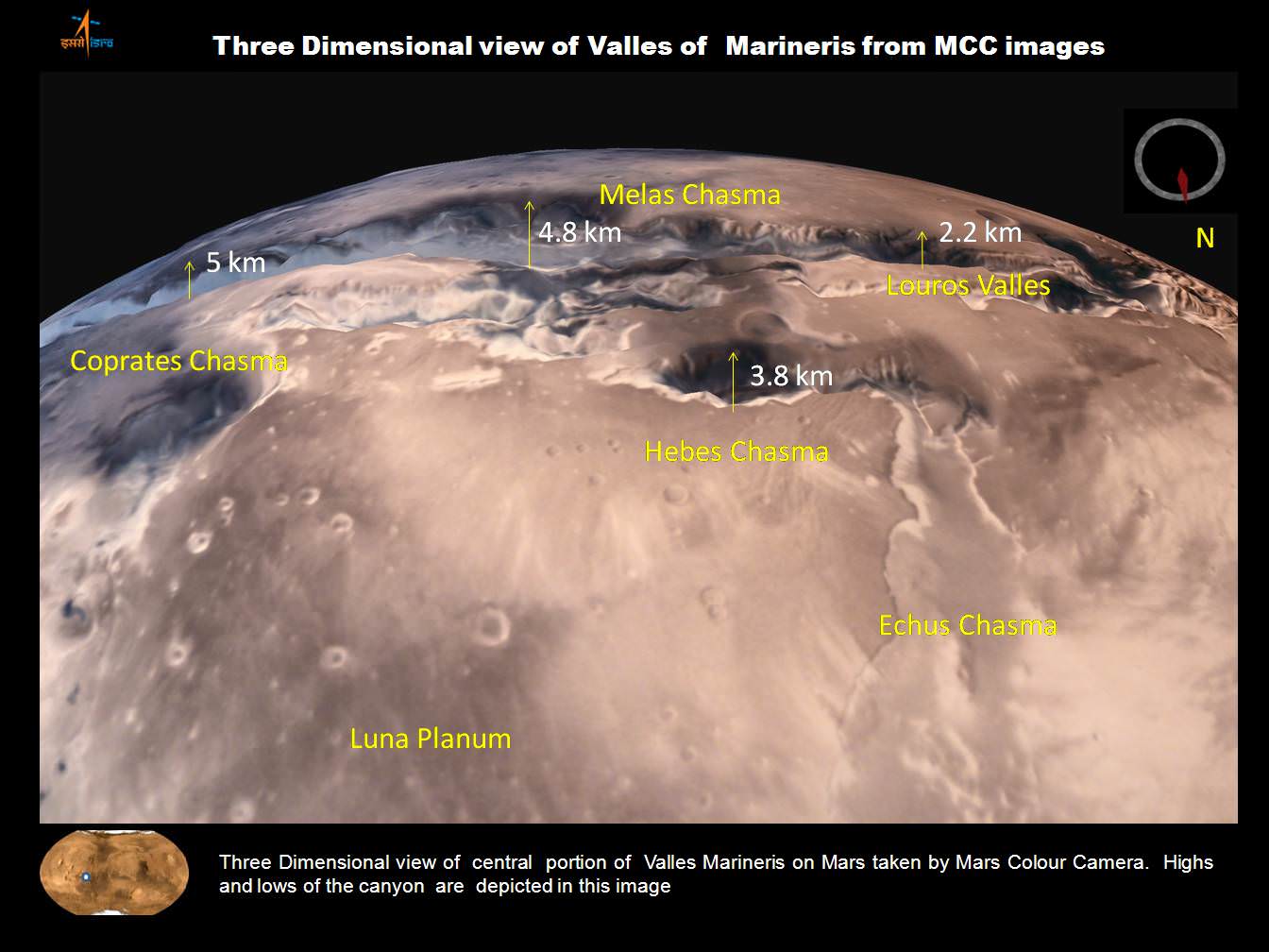
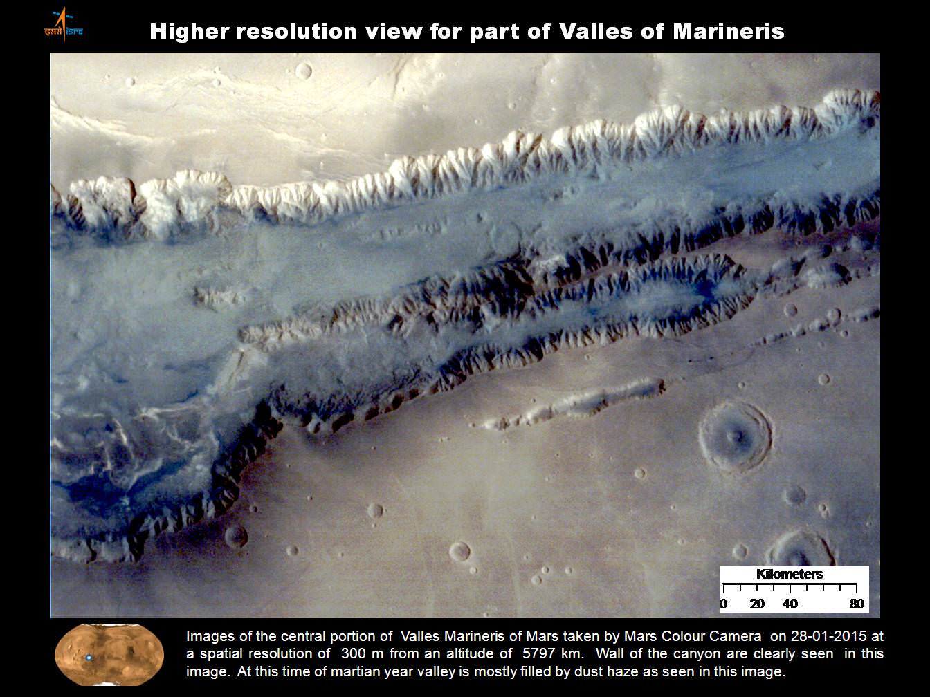
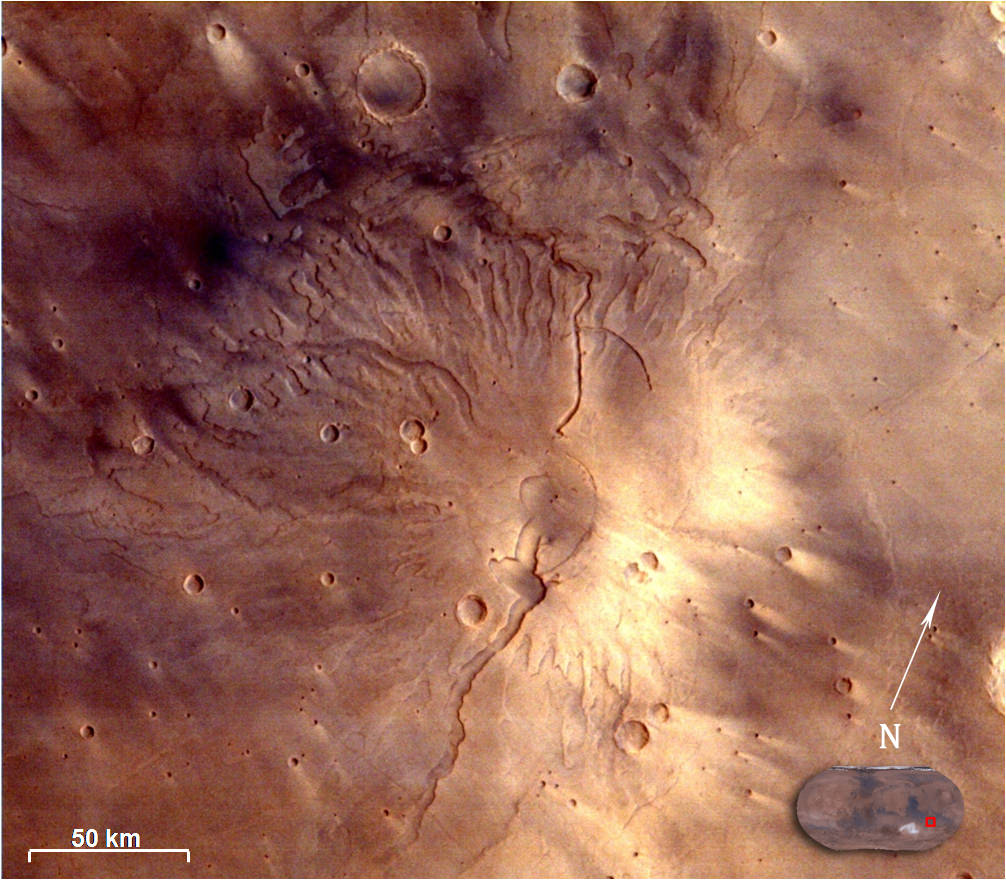
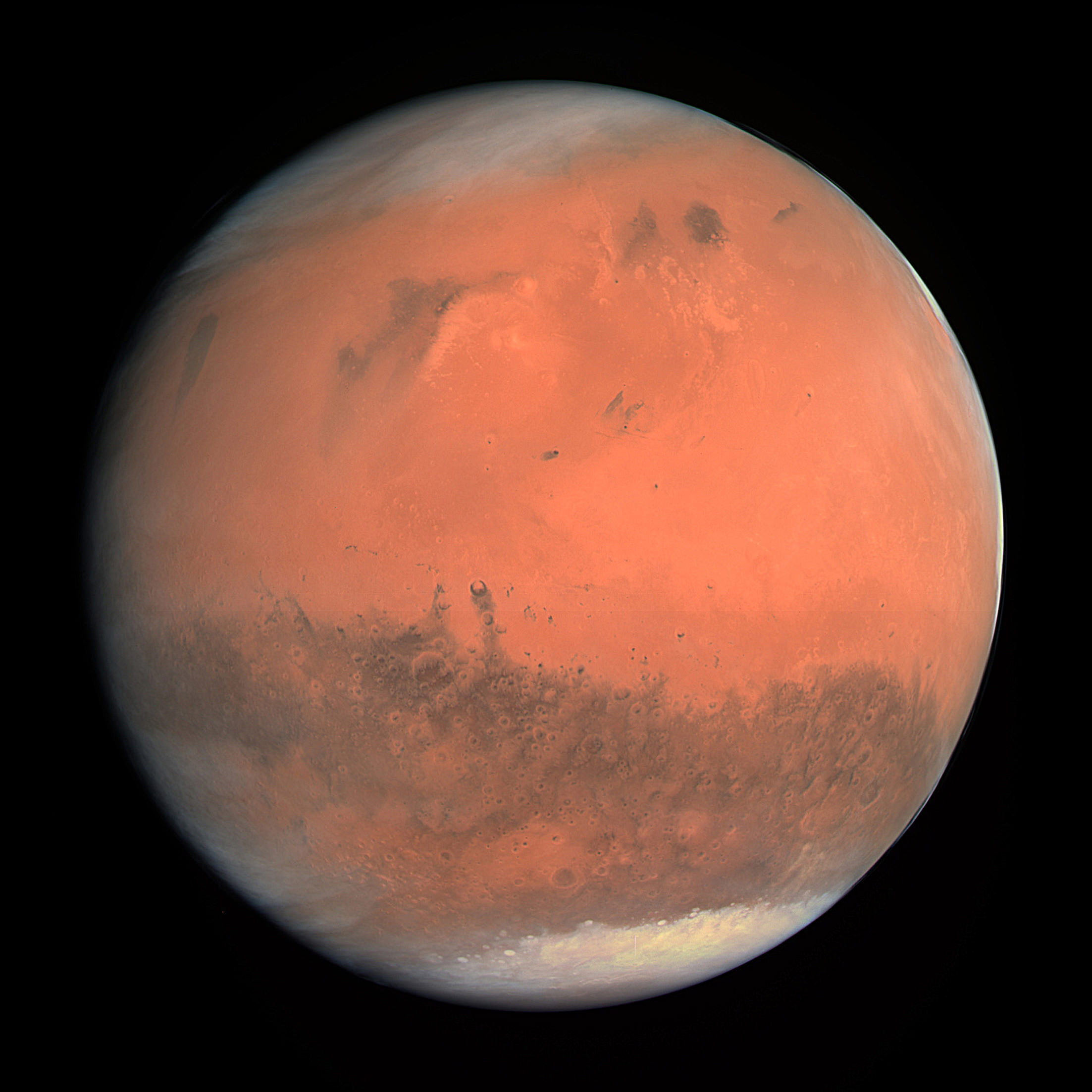
“The images from MCC have provided unique information about Mars at varying spatial resolutions. It has obtained Mars Global data showing clouds, dust in atmosphere and surface albedo variations, when acquired from apoapsis at around 72000 km.”
“On the other hand high resolution images acquired from periapsis show details of various morphological features on the surface of Mars. Some of these images have been showcased in this atlas. The images have been categorized depending upon the Martian surface and atmospheric processes.”
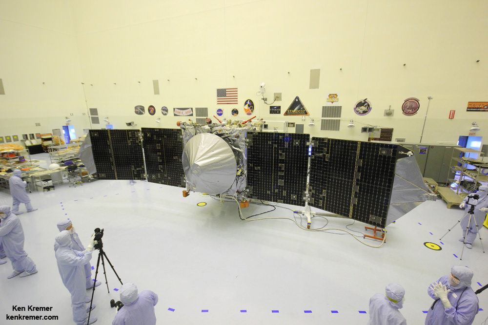
MOM was built in record time and for a budget of $73 million.
“The MOM spacecraft was designed, built and launched in record period of less than two years,” ISRO explained. “MOM carried five science instruments collecting data on surface geology, morphology, atmospheric processes, surface temperature and atmospheric escape process.”
MOM’s Martian arrival was webcast worldwide with an elaborate ceremony that included India’s prime minister who beamed with pride in the team and the nation at that time.
“India has successfully reached Mars!” declared Indian prime minister Narendra Modi, who watched the events unfold from mission control at ISRO’s Telemetry, Tracking and Command Network (ISTRAC) in Bangalore, on Sept. 24, 2014.
“History has been created today. We have dared to reach out into the unknown and have achieved the near-impossible. I congratulate all ISRO scientists as well as all my fellow Indians on this historic occasion.”
MOM swoops around the Red Planet in a highly elliptical orbit whose nearest point to Mars (periapsis) is about 421.7 km and farthest point (apoapsis) is about 76,993.6 km, according to ISRO
Upon MOM’s arrival, India became the newest member of an elite club of only four entities who have launched probes that successfully investigated Mars – following the Soviet Union, the United States and the European Space Agency (ESA).
MOM was launched on Nov. 5, 2013 from India’s spaceport at the Satish Dhawan Space Centre, Sriharikota, atop the nations indigenous four stage Polar Satellite Launch Vehicle (PSLV) which placed the probe into its initial Earth parking orbit.
The Indian probe arrived just two days after NASA’s MAVEN Mars orbiter, the first mission specifically targeted to study Mars tenuous upper atmosphere and the escape rates of atmospheric constituents.
The $73 million MOM mission was initially expected to last at least six months. In March 2015, ISRO extended the mission duration for another six months since its healthy, the five science instruments were operating fine and it had sufficient fuel reserves.
Indeed MOM has enough fuel to continue gather data and images for years to come if the instruments and spacecraft continue to function nominally.
“The Mars Orbiter Mission still has some 45 kg of fuel left which could, in theory, keep the mission going for at least 15 years,” ISRO told The Hindu.
“One cannot get a better bang for the buck! According to ISRO, for normal housekeeping operations and orbit maintenance only about two kg of fuel is necessary per year.”
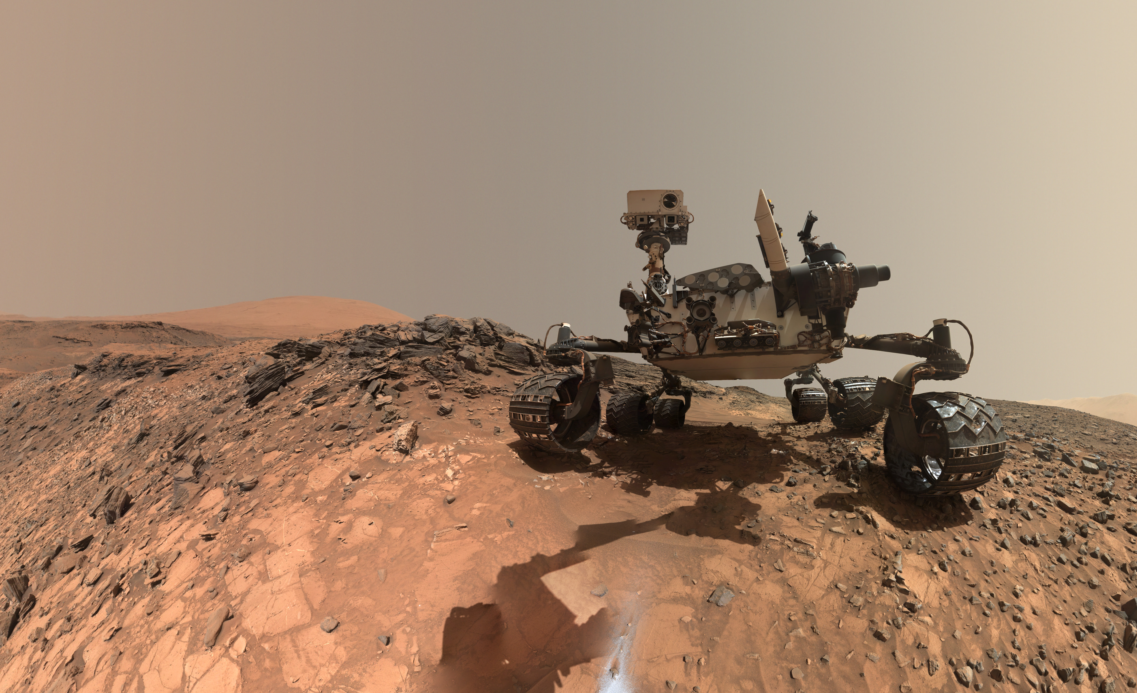
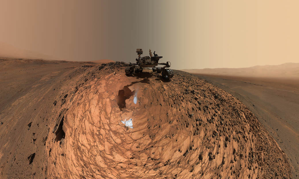
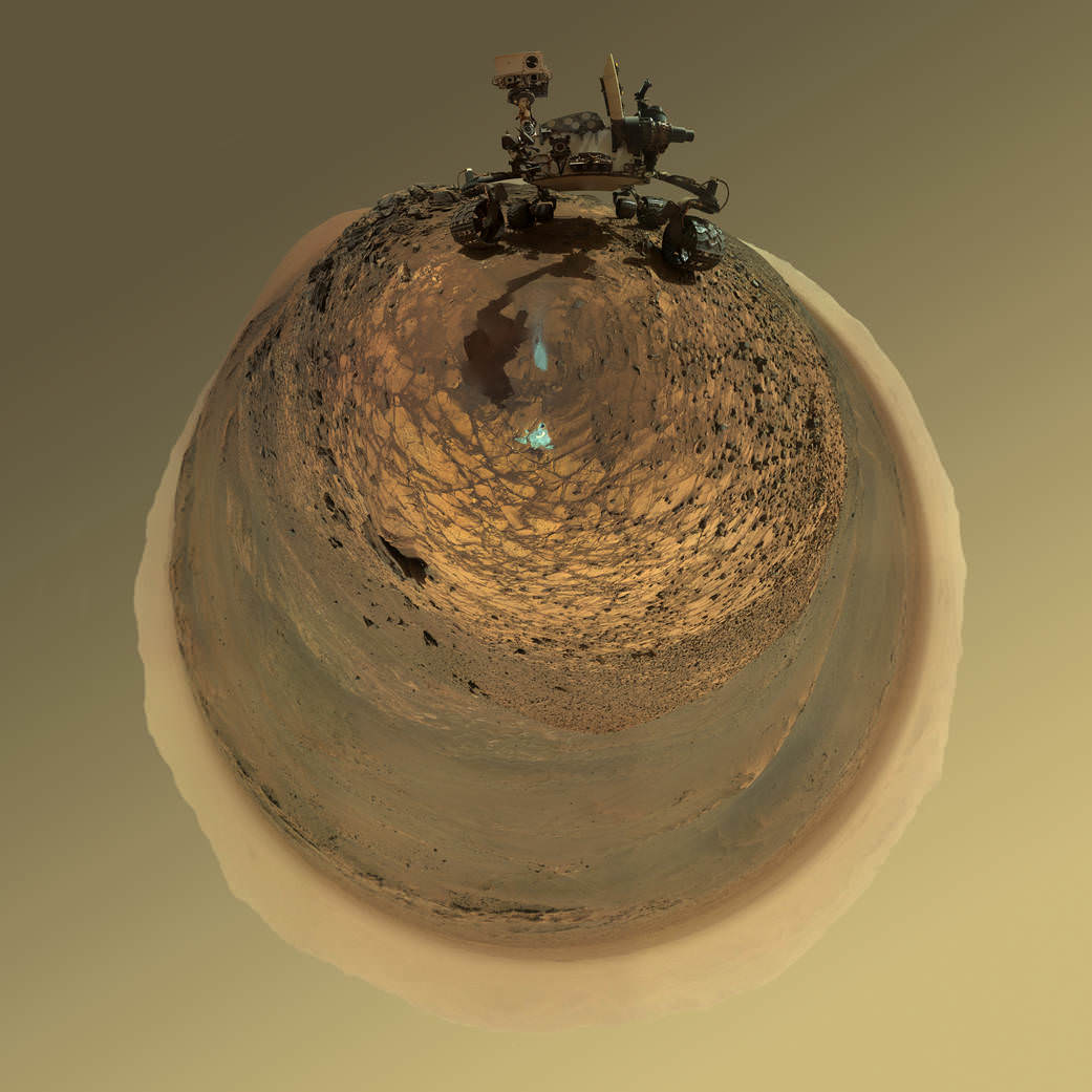
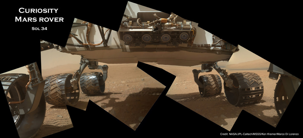
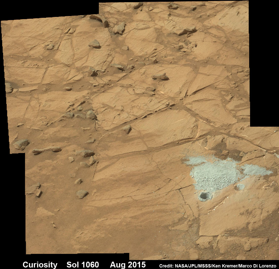
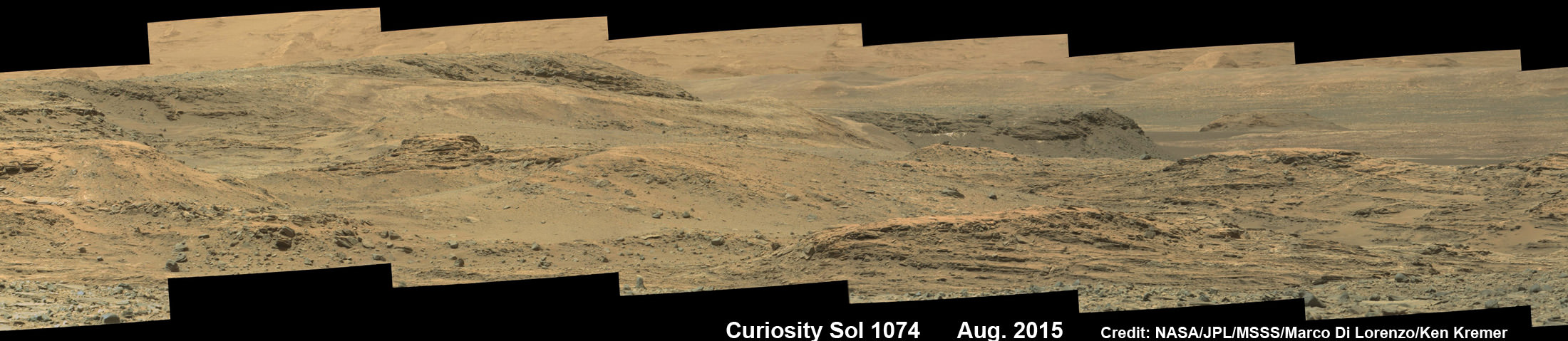
Including MOM, Earth’s invasion fleet at the Red Planet numbers a total of seven spacecraft comprising five orbiters from NASA, ESA and ISRO as well as the sister pair of mobile surface rovers from NASA – Curiosity and Opportunity.
Stay tuned here for Ken’s continuing Earth and planetary science and human spaceflight news.