
When the first Landsat Earth-observing satellite launched in 1972, virtually every piece of technology that we think of as essential for viewing, sharing, or analyzing digital images — like the internet or DVD’s — either hadn’t been invented or commercialized, like the microprocessors that run desktop computers. “It cost about $4,000 for a single Landsat image, and it takes about 9,000 of them to map the land area of the globe,” said Jeff Masek, from NASA. “To make a global image for just one time period would have cost $36 million.” But now, in this age where everything is digital and it’s easy to exchange information, anyone can download Landsat images for free. Recently, NASA and the U.S. Geological Survey put the finishing touches on a new collection of mapped images covering the entire land surface of the Earth. However, if you want the entire full-size version, it would be as big as the Hoover Dam.
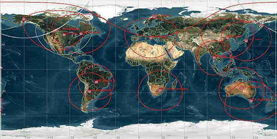
This collaboration between NASA, the U.S. Geological Survey, and the U.S. National Geospatial Agency, the Global Land Survey 2005 features around 9,500 images from NASA’s Landsat satellites captured between 2004–2007.

The images are detailed enough to make out features as small as 30 meters (about one-third the length of an American football field), they have been carefully screened for clouds, and each one shows the landscape during its growing season.
Some of the images are as striking as a piece of artwork. Stitched together into a single mosaic, the collection paints the most detailed picture of Earth’s land surface a person can get for free.
For more information see these two Landsat sites:
http://www.landsat.org/
Source: NASA Earth Observatory
Great to see this archival data from the 70s make its way to the internet, allowing for wider access by professionals and the public (who funded the project). In a way, this seems reminiscent of the (original) Palomar Sky survey from the 50s being scanned and output on CD-ROM in the 80s and now widely available for free on the internet. A treasure trove of data which was expensive and time consuming to produce now freely available to all with an internet connection.
Btw, I assume this will become another dataset to be incorporated into a larger database of imagery now being assembled by NASA in partnership with Google.
The second picture has almost the look of van Gogh brush strokes.
LC