Summertime is a joyous time for so many reasons. There’s the sense of vacation, that feeling of freedom we remember so fondly from our childhoods. There’s the warmth weather, the sunshine, the early mornings and cool, late evenings. Seriously, there’s nothing wrong with summer, except the unfortunate fact that sooner or later, it has to end.
But when exactly is the very last day of summer? Well, it differs from place to place, depending on your location, whether you are north or south of the equator and by how much. But in the Northern Hemisphere, the change in seasons occurred on September 22nd for the year of 2010. In the Southern Hemisphere, it took place on February 28th.
In order to understand why this date was pegged as the end of the season, we need to understand exactly how the season itself is measured. These have to do with the equinoxes and solstices, seasonal markers that occur twice a year respectively. From an astronomical point of view, the equinoxes and solstices are in the middle of the respective seasons, but a variable seasonal lag means that the meteorological start of the season, which is based on average temperature patterns, occurs several weeks later than the start of the astronomical season.
According to meteorologists, summer extends for the whole months of June, July and August in the northern hemisphere and the whole months of December, January and February in the southern hemisphere. Interestingly enough, in this hemisphere, the end of the summer season is also dependent on whether or not it is a leap year (during leap years, an extra day is added).
In North America, summer is often fixed as the period from the summer solstice (June 20 or 21, depending on the year) to the fall equinox (September 22 or 23, again depending on the year). Therefore, Sept. 22 was the last day of summer and the beginning of the 2010 autumnal equinox, which officially began at 11:09 p.m. EST., the full moon having peaked the following morning at 5:17 a.m. EST which marked it as the first day of fall in the Northern Hemisphere.
The moon closest to the September equinox is considered the “Harvest Moon.” Its name stems from when farmers would rely on the light to work in the fields as the days grew shorter. For the first time since 1991, the full moon fell on the equinox, creating a “Super Harvest Moon.” In the Southern Hemisphere, the last day of summer was February 28th since 2010 was not a leap year.
We have written many articles about Summer for Universe Today. Here’s an article about the summer solstice, and here’s an article about the Earth seasons.
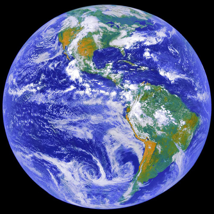
If you’d like more info on Earth, check out NASA’s Solar System Exploration Guide on Earth. And here’s a link to NASA’s Earth Observatory.
We’ve also recorded an episode of Astronomy Cast all about planet Earth. Listen here, Episode 51: Earth.
Sources:
http://en.wikipedia.org/wiki/Summer
http://www.tonic.com/article/last-day-of-summer-first-night-of-fall-super-harvest-moon/
http://en.wikipedia.org/wiki/Equinox
http://en.wikipedia.org/wiki/Solstice
http://wiki.answers.com/Q/What_is_the_last_day_of_summer_in_Southern_Hemisphere