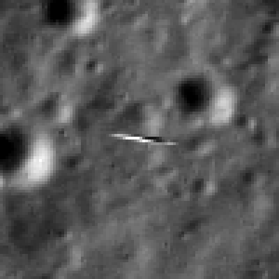
This dissolve animation compares the LRO image (geometrically corrected) of LADEE captured on Jan 14, 2014 with a computer-generated and labeled image of LADEE . LRO and LADEE are both NASA science spacecraft currently in orbit around the Moon. Credit: NASA/Goddard/Arizona State University
Story updated[/caption]
A pair of NASA spacecraft orbiting Earth’s nearest celestial neighbor just experienced a brief ‘Close Encounter of the Lunar Kind’.
Proof of the rare orbital tryst has now been revealed by NASA in the form of spectacular imagery (see above and below) just released showing NASA’s recently arrived Lunar Atmosphere and Dust Environment Explorer (LADEE) lunar orbiter being photographed by a powerful camera aboard NASA’s five year old Lunar Reconnaissance Orbiter (LRO) – as the two orbiters met for a fleeting moment just two weeks ago.
See above a dissolve animation that compares the LRO image (geometrically corrected) of LADEE captured on Jan. 14, 2014 with a computer-generated and labeled LADEE image.
All this was only made possible by a lot of very precise orbital calculations and a spacecraft ballet of sorts that had to be nearly perfectly choreographed and timed – and spot on to accomplish.
Both sister orbiters were speeding along at over 3600 MPH (1,600 meters per second) while traveling perpendicularly to one another!
So the glimpse was short but sweet.
LADEE flies in an equatorial orbit (east-to-west) while LRO travels in a polar orbit (south-to-north). LADEE achieved lunar orbit on Oct. 6, 2013 amidst the federal government shutdown.
Thus their orbits align only infrequently.
The LRO orbiter did a pirouette to precisely point its high resolution narrow angle camera (NAC) while hurtling along in lunar orbit, barely 5.6 miles (9 km) above LADEE.
And it was all over in less than the wink of an eye!
LADEE entered LRO’s Narrow Angle Camera (NAC) field of view for 1.35 milliseconds and a smeared image of LADEE was snapped. LADEE appears in four lines of the LROC image, and is distorted right-to-left.
Both spacecraft are tiny – barely two meters in length.
“Since LROC is a pushbroom imager, it builds up an image one line at a time, thus catching a target as small and fast as LADEE is tricky!” wrote Mark Robinson, LROC principal investigator of Arizona State University.
So the fabulous picture was only possible as a result of close collaboration and extraordinary teamwork between NASA’s LADEE, LRO and LROC camera mission operations teams.
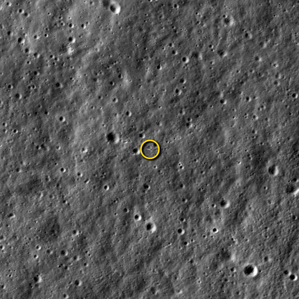
LADEE passed directly beneath the LRO orbit plane a few seconds before LRO crossed the LADEE orbit plane, meaning a straight down LROC image would have just missed LADEE, said NASA.
Therefore, LRO was rolled 34 degrees to the west so the LROC detector (one line) would be precisely oriented to catch LADEE as it passed beneath.
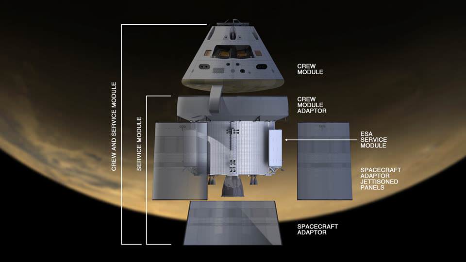
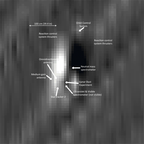
“Despite the blur it is possible to find details of the spacecraft. You can see the engine nozzle, bright solar panel, and perhaps a star tracker camera (especially if you have a correctly oriented schematic diagram of LADEE for comparison),” wrote Robinson in a description.
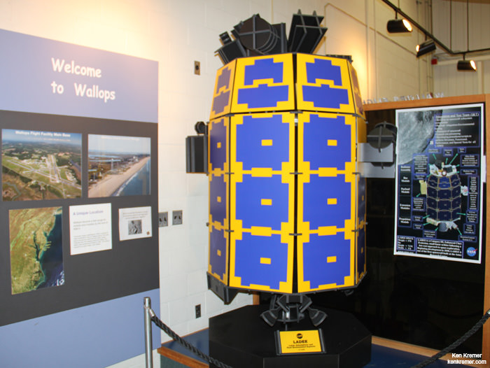
See the LADEE schematic in the lead image herein.
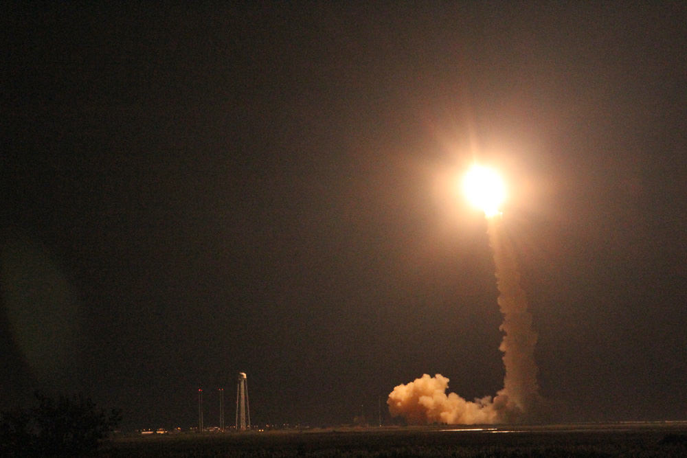
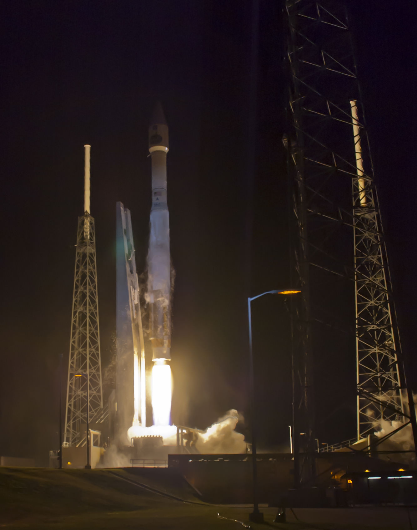
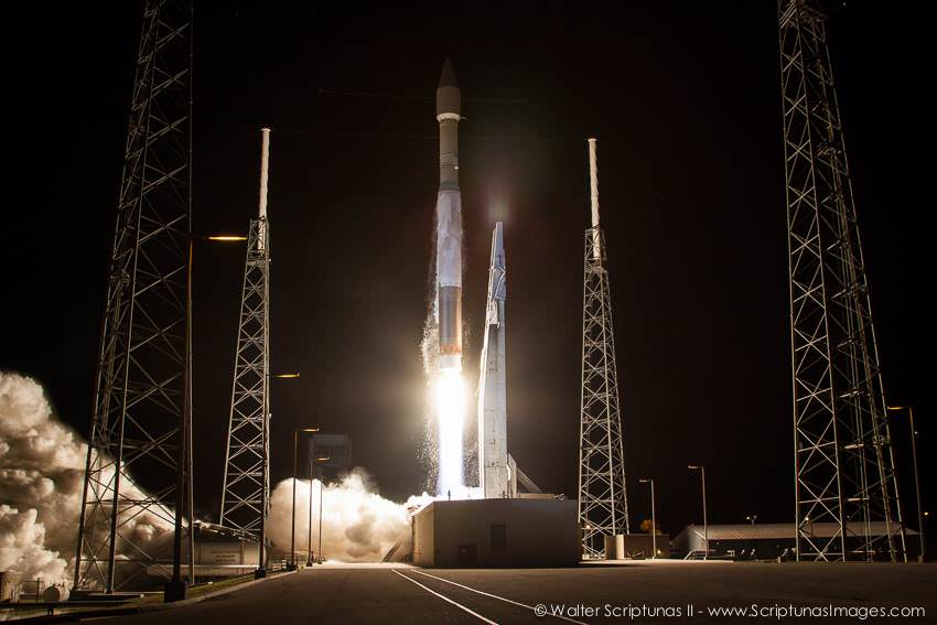
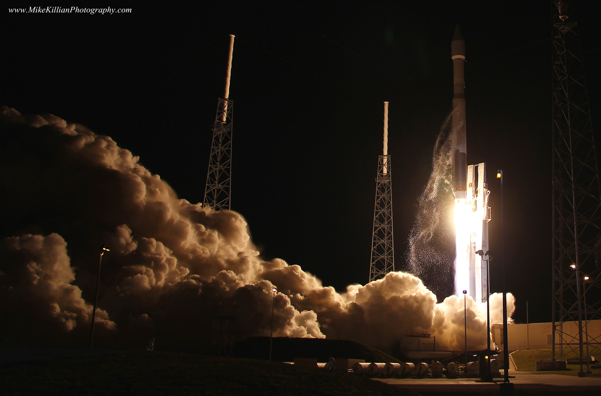
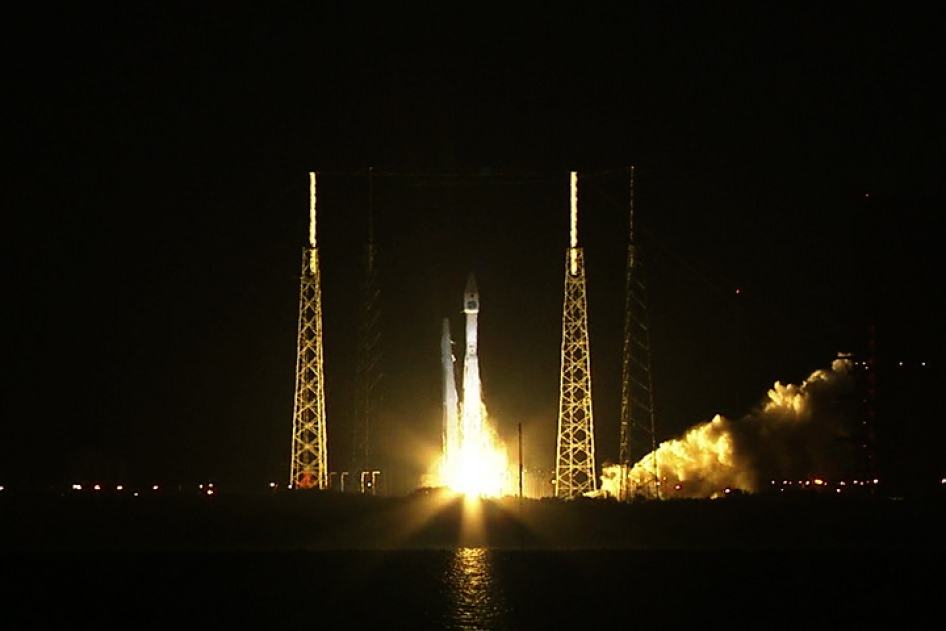
LADEE was launched Sept. 6, 2013 from NASA Wallops in Virginia on a science mission to investigate the composition and properties of the Moon’s pristine and extremely tenuous atmosphere, or exosphere, and untangle the mysteries of its lofted lunar dust.
Since LADEE is now more than halfway through its roughly 100 day long mission, timing was of the essence before the craft takes a death dive into the moon’s surface.
You can see a full scale model of LADEE at the NASA Wallops visitor center, which offers free admission.
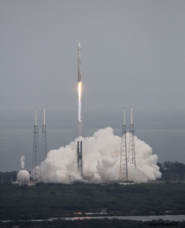
LRO launched Sept. 18, 2009 from Cape Canaveral, Florida to conduct comprehensive investigations of the Moon with seven science instruments and search for potential landing sites for a return by human explorers. It has collected astounding views of the lunar surface, including the manned Apollo landing sites as well as a treasure trove of lunar data.
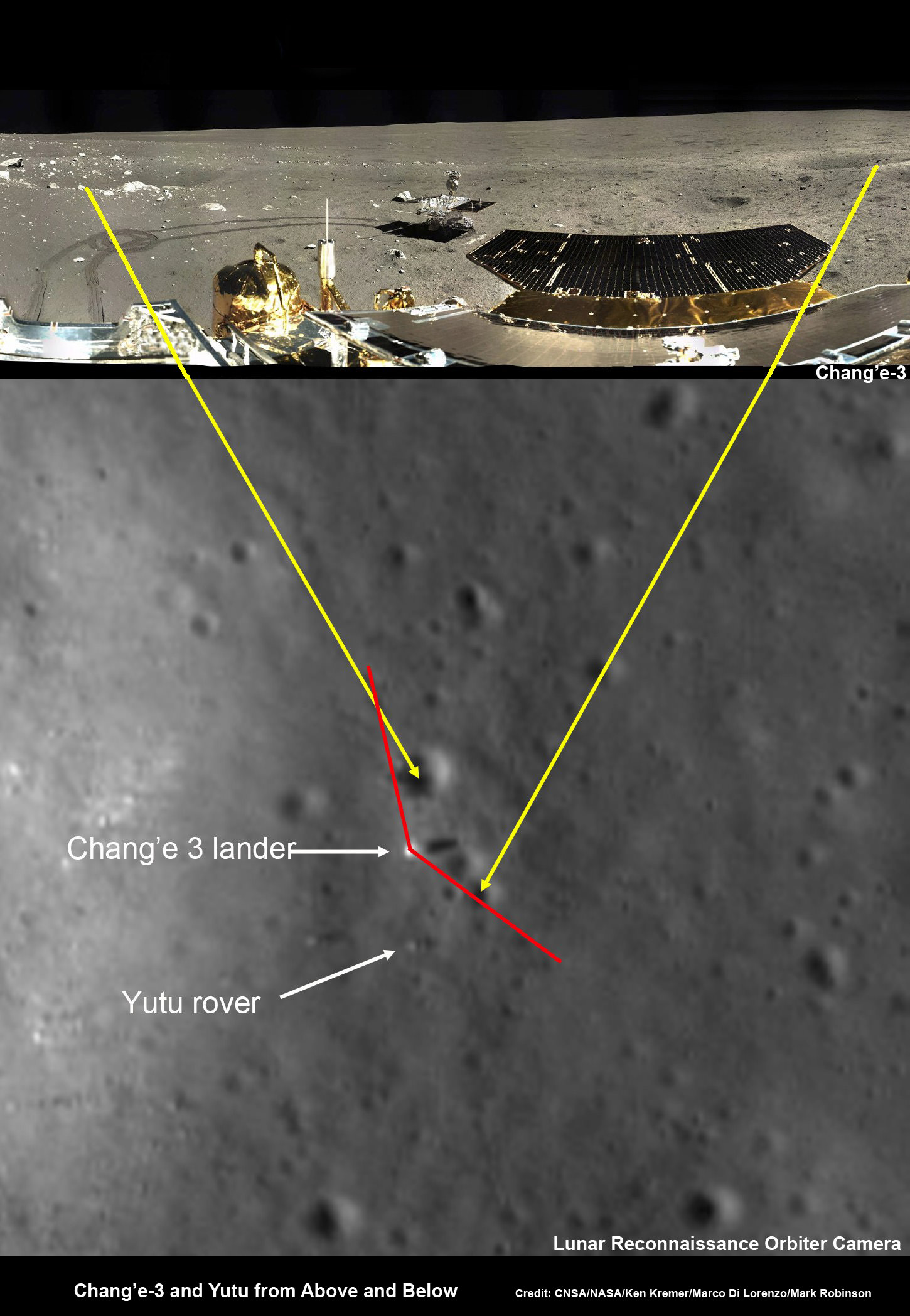
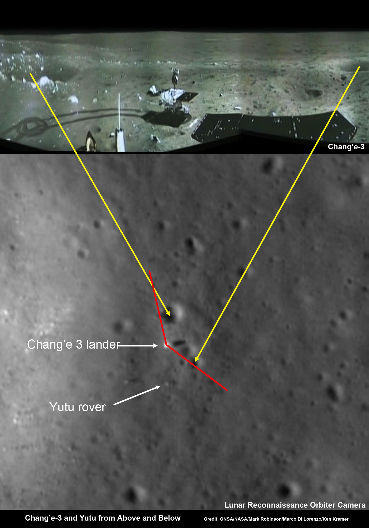
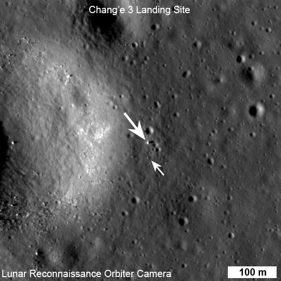
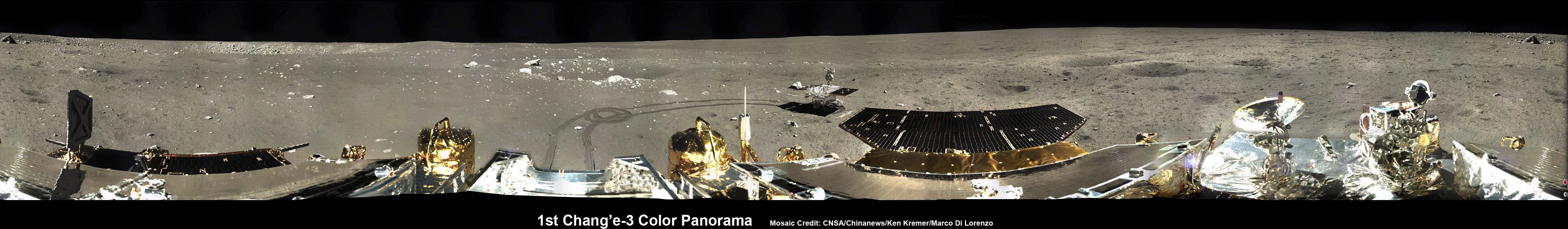
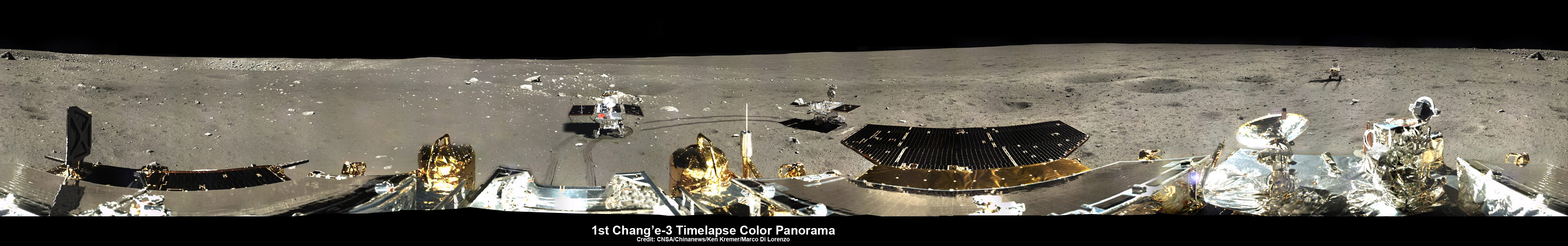
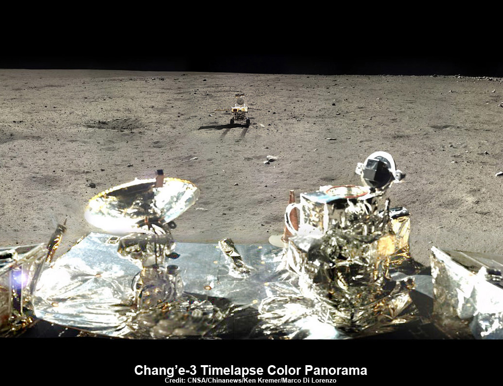
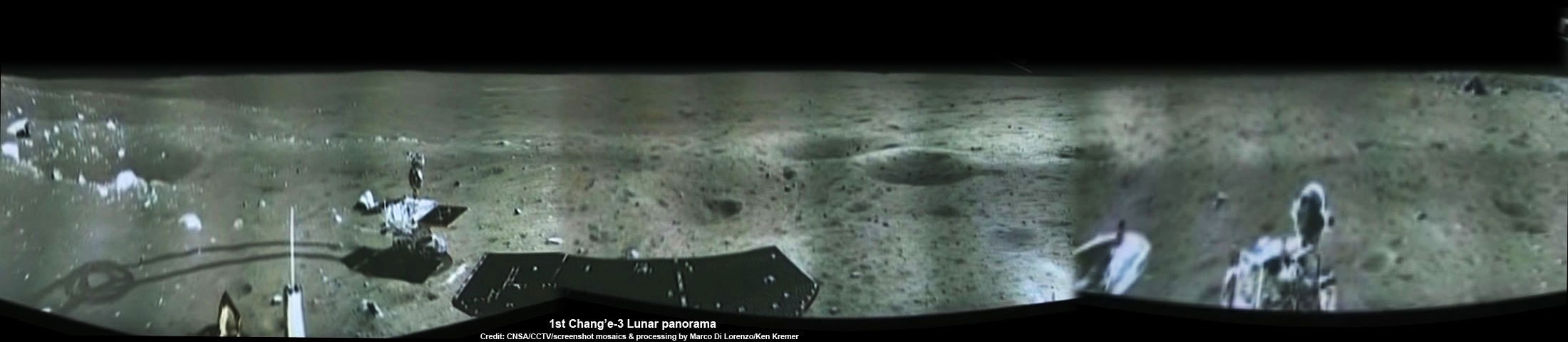
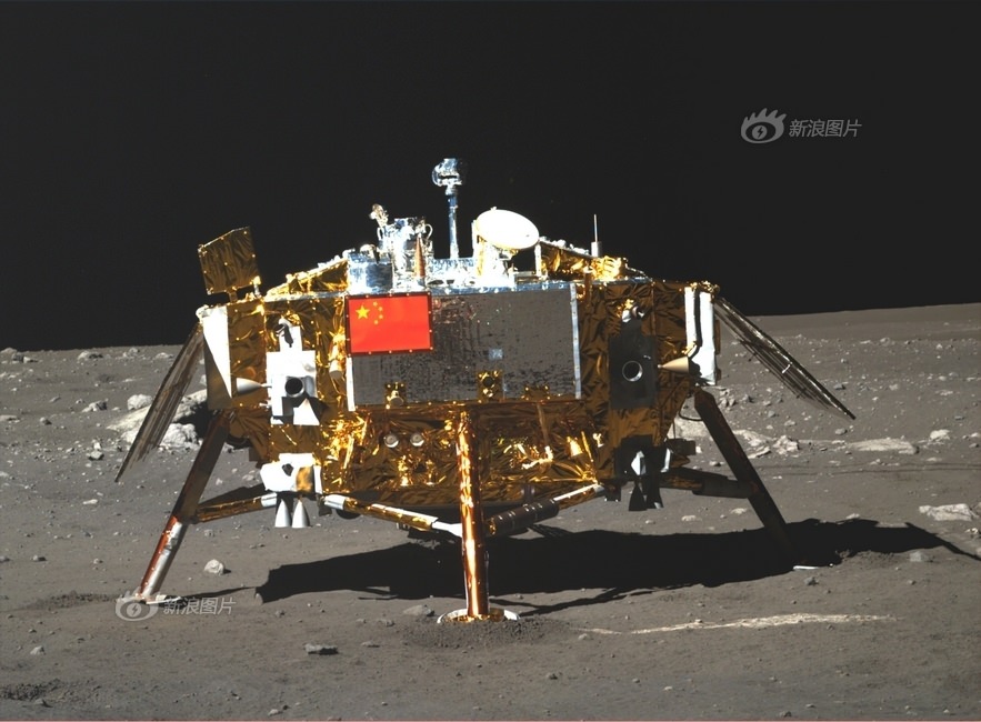
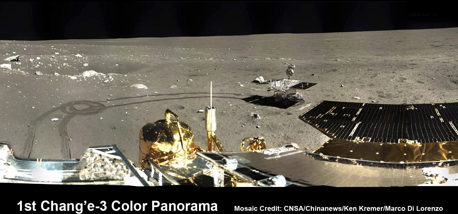
In addition to NASA’s pair of lunar orbiters, China recently soft landed two probes on the Moon.
So be sure to read my new story detailing how LRO took some stupendous Christmas time 2013 images of China’s maiden lunar lander and rover; Chang’e-3 and Yutu from high above- here.
Stay tuned here for Ken’s continuing LADEE, Chang’e-3, Orion, Orbital Sciences, SpaceX, commercial space, Mars rover and more news.