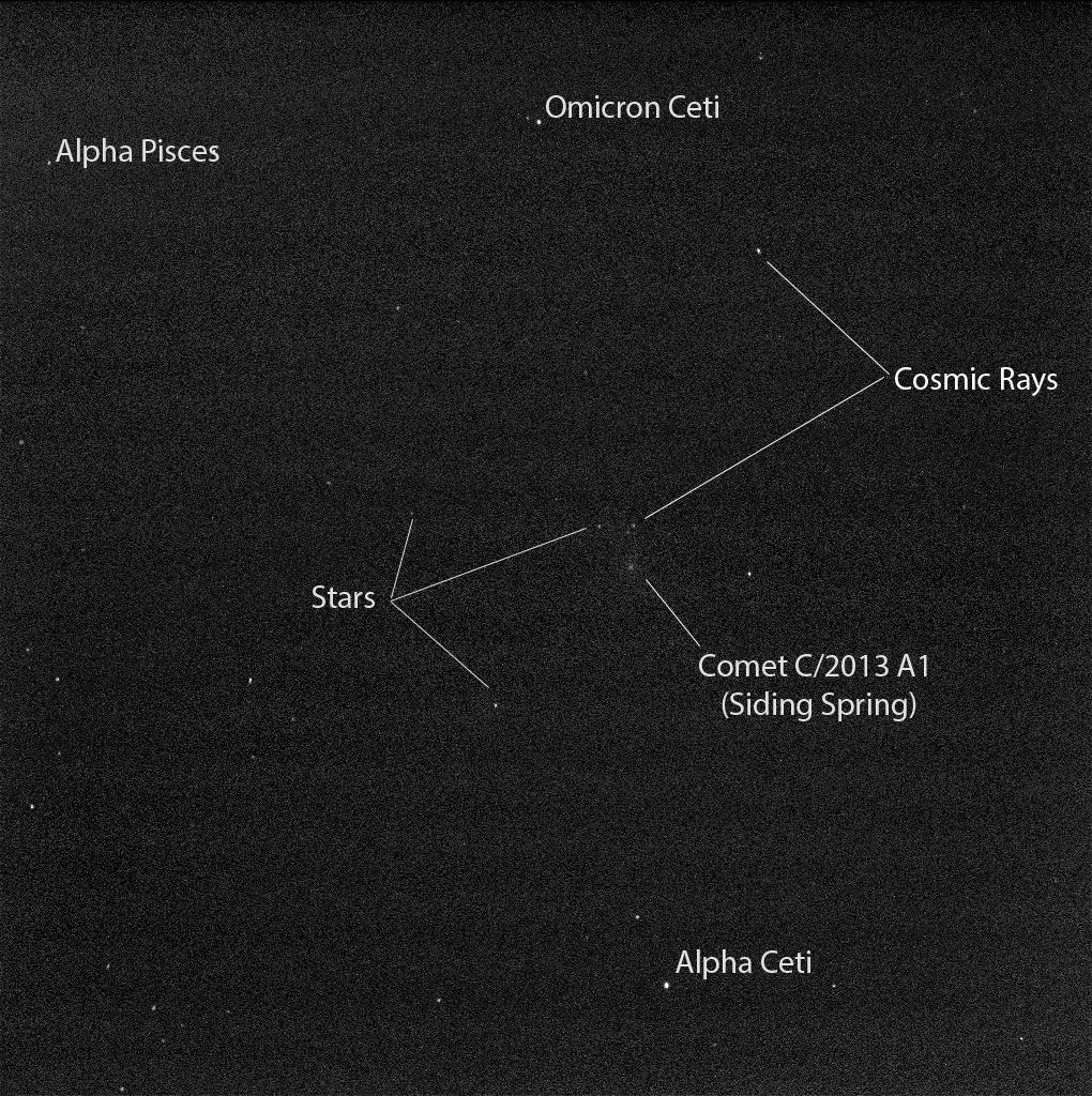
Here’s the awesome thing about space and social media: in some cases, you can often follow along with a mission almost as soon as the images come to Earth. A group of Canadians is taking that to the next level this month as they take control of the 211th imaging cycle of a powerful camera on the Mars Reconnaissance Orbiter.
While some images need to be kept back for science investigations, the team is sharing several pictures a day on Twitter and on Facebook portraying the views they saw coming back from the High Resolution Imaging Science Experiment (HiRISE) camera. The results are astounding, as you can see in the images below.
“It’s mind-blowing to realize that when the team, myself included, first look at the images, we are likely the first people on Earth to lay eyes upon a portion of the Martian surface that may have not been imaged before at such high resolution,” stated research lead Livio Tornabene, who is part of Western University’s center for planetary science and exploration.
The team will capture up to 150 images between Nov. 30 and Dec. 12, and already have released close to two dozen to the public. Some of the best are below.
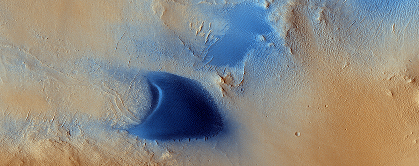
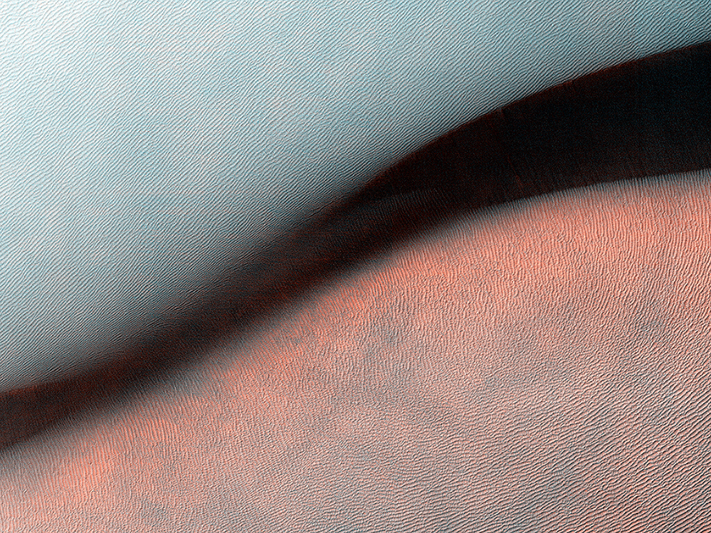
.@HiRISE image ESP_039152_1450 Tongue-shaped feature on south mid-latitude crater; Mars sticking its tongue out at us pic.twitter.com/F5LeG5e03m
— Western Mars Imaging (@westernuMars) December 5, 2014
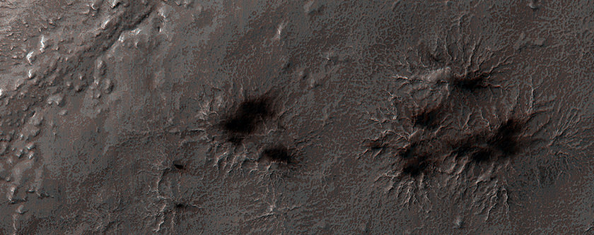
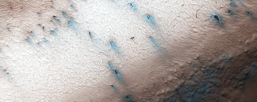
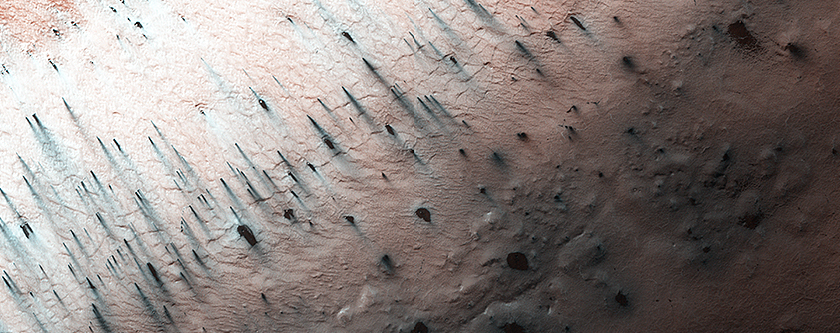
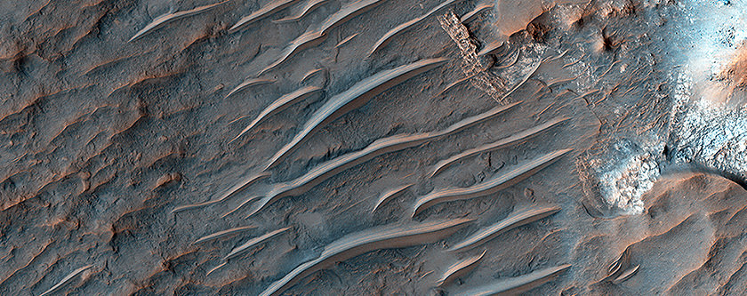
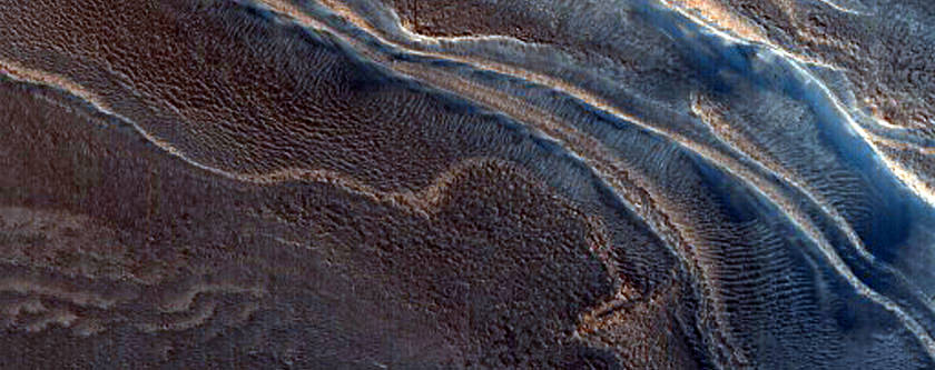
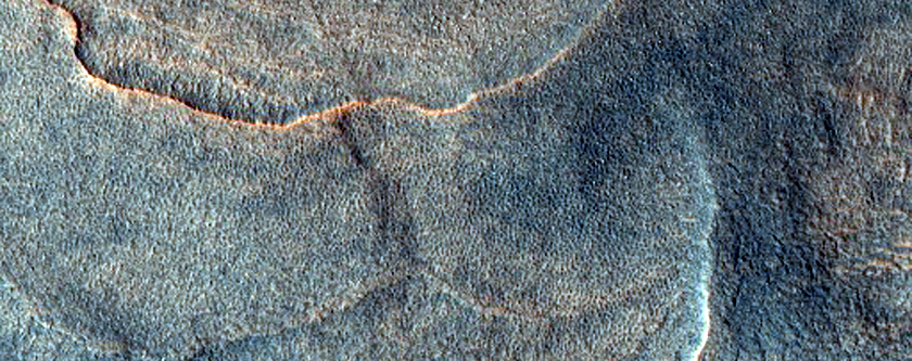
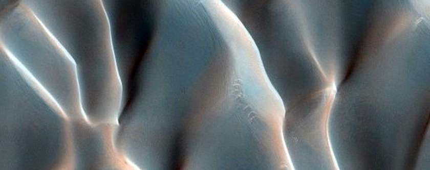
Yardangs in Arabia Terra on Mars. @HiRISE #WesternU #LdnONt pic.twitter.com/Vj2se80iwy — Western Mars Imaging (@westernuMars) December 9, 2014
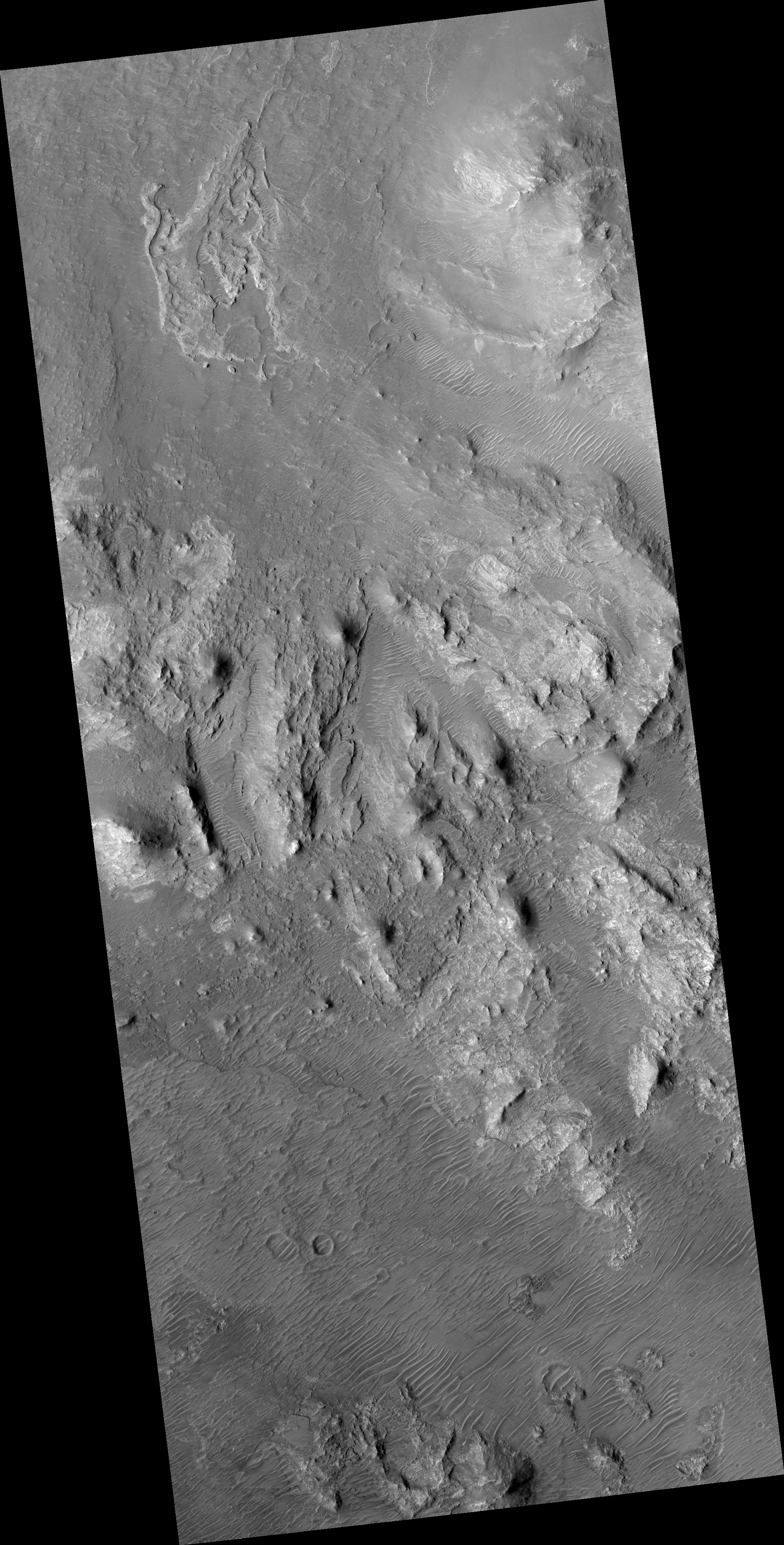
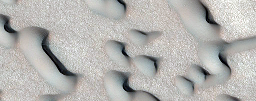
.@HiRISE Image ESP_039139_1810 Dunes hiding behind a mesa in Arabia Terra How a*mesa*ng is this?! #WesternU #LdnOnt pic.twitter.com/amo7KL39uC
— Western Mars Imaging (@westernuMars) December 5, 2014
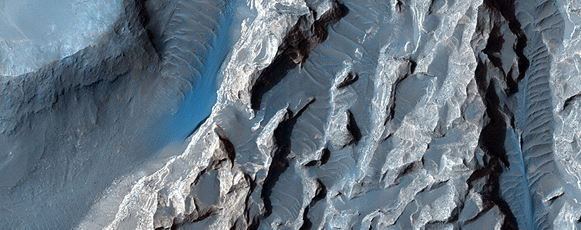
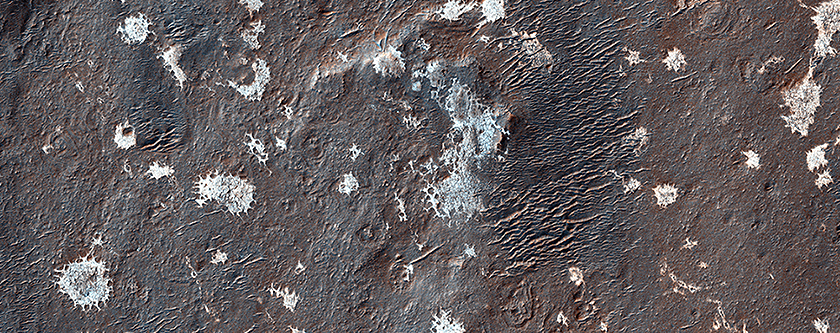
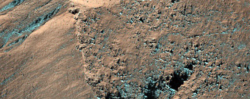
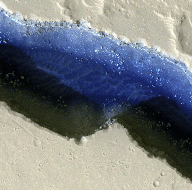
Beautiful two-toned ejecta impact crater on Mars! Another lovely image brought to you by @HiRISE #WesternU 🙂 pic.twitter.com/q0FY2r6q8Y — Western Mars Imaging (@westernuMars) December 8, 2014
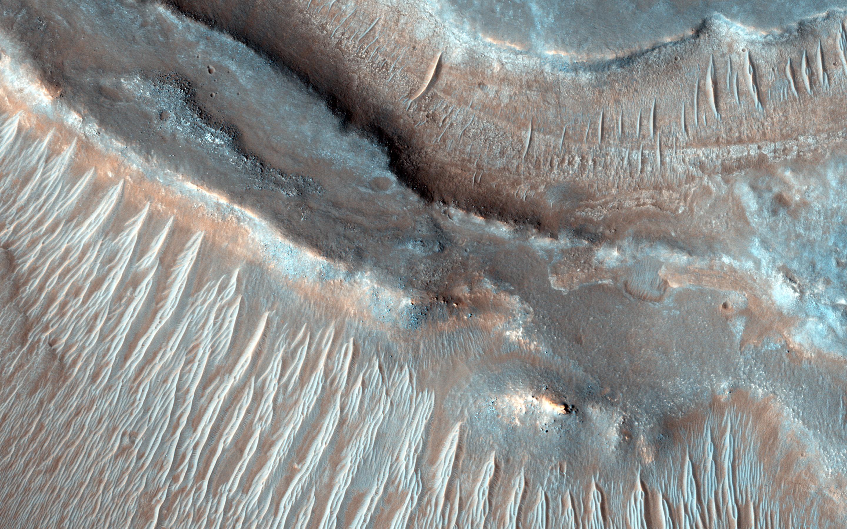
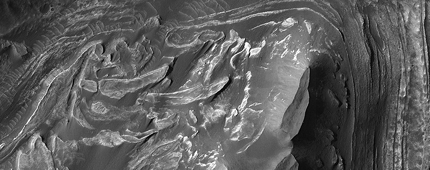
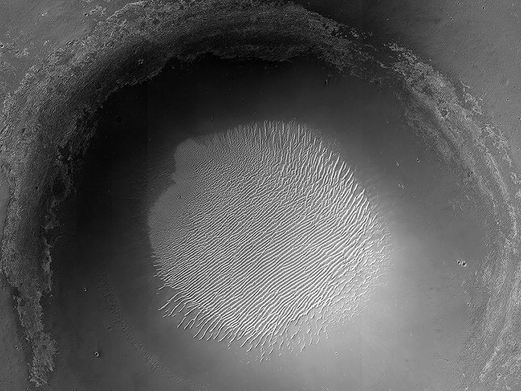
.@HiRISE image ESP_039155_1585 Rocky interior & central peak pit of large crater; gorgeous colours #WesternU #LdnOnt pic.twitter.com/ZxKRTetalw
— Western Mars Imaging (@westernuMars) December 5, 2014
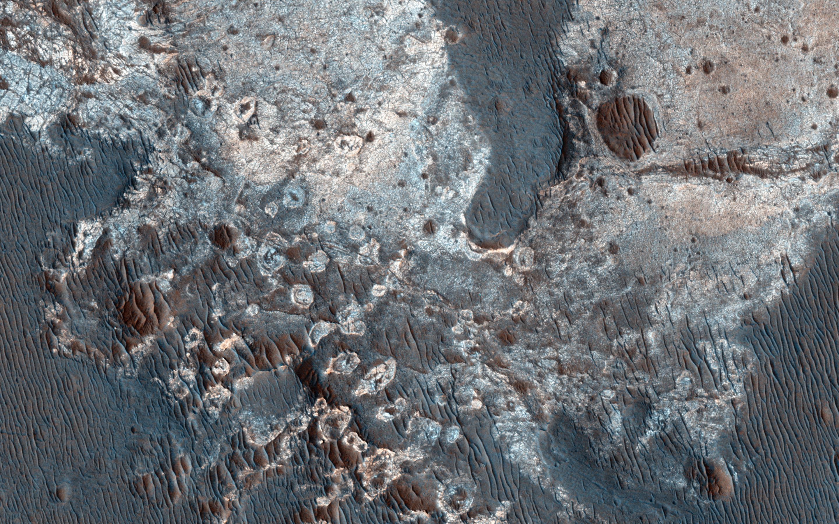
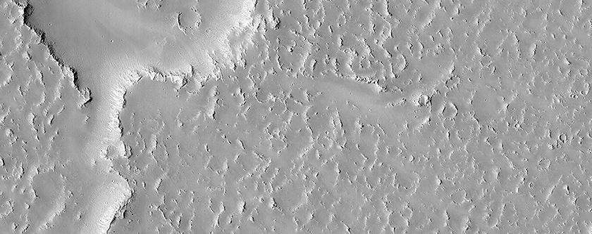
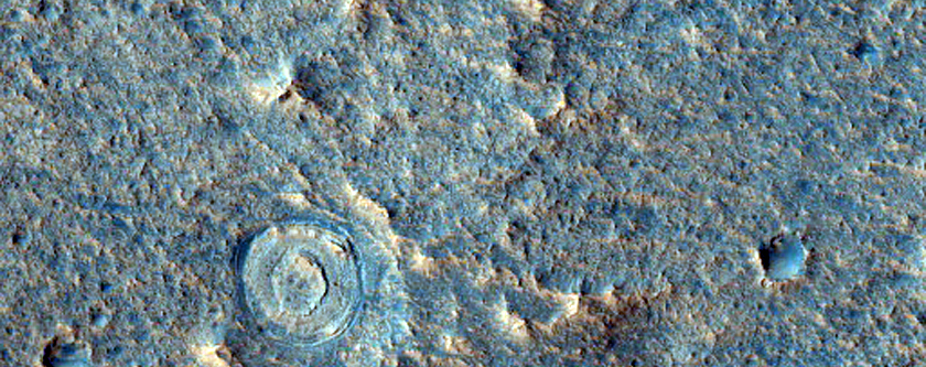
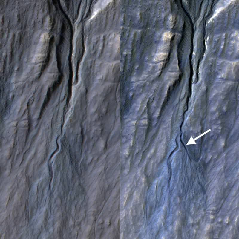
.@HiRISE image ESP_039149_1475 Gully monitoring in crater; looking for various changes over time. #WesternU #LdnOnt pic.twitter.com/0DiXo7xrbd — Western Mars Imaging (@westernuMars) December 5, 2014
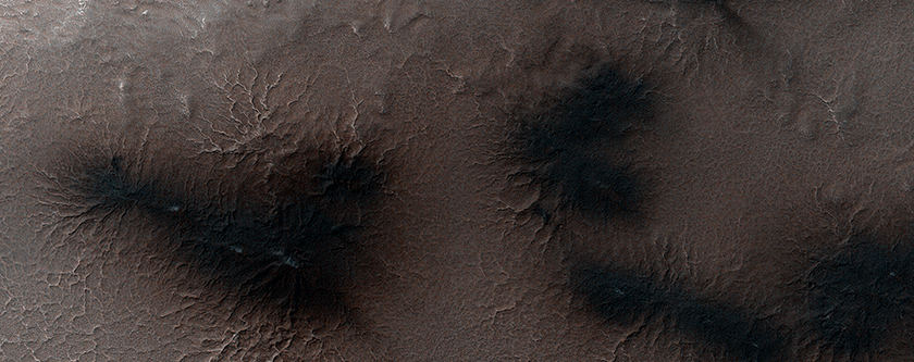
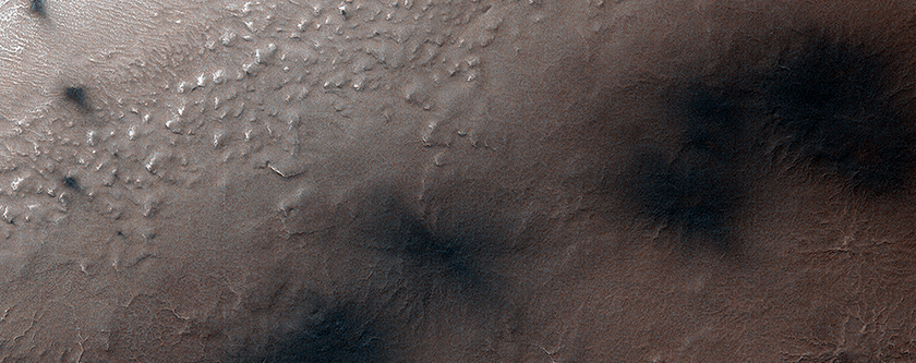
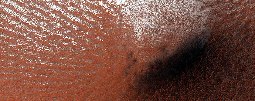
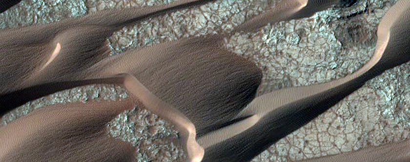
.@HiRISE Image ESP_039133_1180 Black dunes. Notice the contrast and beautiful flame pattern! #WesternU #LdnOnt pic.twitter.com/JiChhJEpEJ
— Western Mars Imaging (@westernuMars) December 5, 2014