
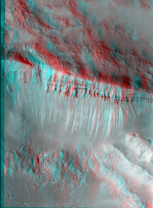
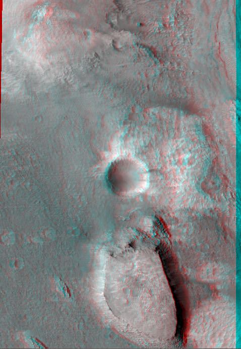
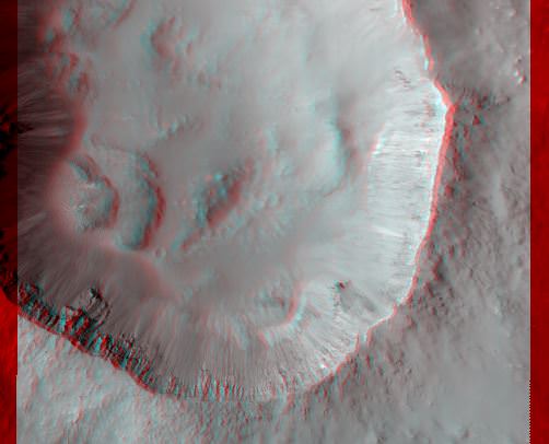
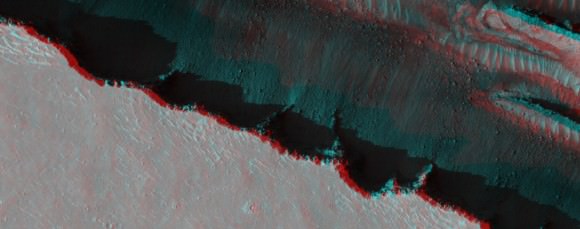
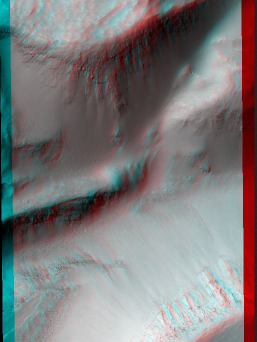
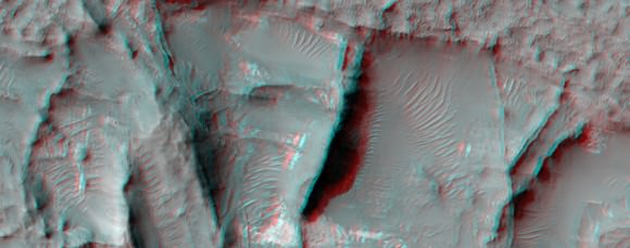
These pictures require you to grab the 3-D glasses you have handy by your desk (if you don’t have a pair, here’s some great options for buying some) and get a “you-are-there” experience from the HiRISE camera on the Mars Reconnaissance Orbiter. Here, you can virtually tumble down crater walls, hover over steep cliffs, and see how layered bedrock appears from above.
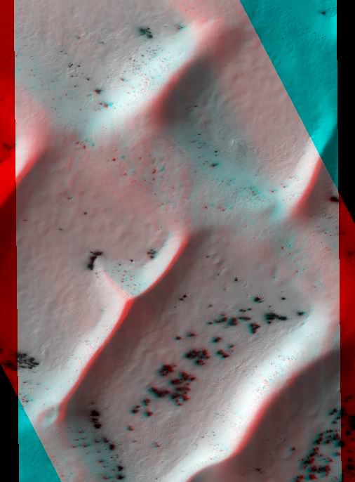
Our lead image is of an area referred to as “Inca City,” the informal name given by Mariner 9 scientists in 1972 to a set of intersecting, rectilinear ridges, which some people thought looked like structures or streets. Even back then scientists thought they might be dunes, but that didn’t keep people from going off the deep end about this region. But the power of HiRISE has revealed these truly are dunes, and in this image you can see some of the seasonal processes as the region goes from winter to spring. As the carbon dioxide frost and ice on the dunes warms, small areas warm and sublimate (turn from solid to gas) faster, creating a speckled surface.
Enjoy more 3-D views below. All images link directly to the HiRISE site where you can see other versions and get more info about each image. See all the HiRISE anaglyphs that are available here.
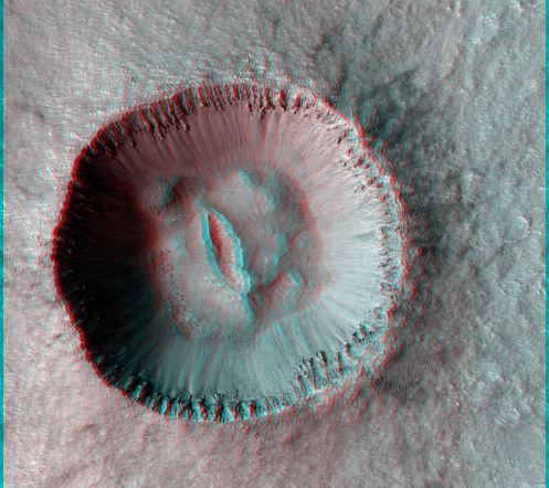

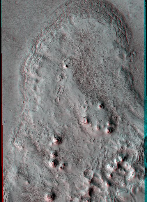
The central peak in the second image is fascinating… Not a simple circular ‘rebound’ artifact, more like a trench? Due to the shape of the impactor? Subsequent weathering? Interface with a fault line? Of course ALL of these images are interesting and demonstrate the need for further exploration.
Please find something really special Curiosity… a fossil? an ETI artifact? Gold? a gas pump? LOL!
Am I correct that the verticle scale in these images is severely ‘enhanced’? I wish they wouldn’t do that or at least own up to it and by how much.
i prefer to see the originals, i hate it when the true color is tampered with..but on a good note, the first image looks allot like snow ….fascinating ^_^