
[/caption]
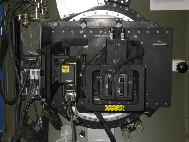
A new camera that will assist farmers, ranchers, foresters and educators is heading to the International Space Station. Students and faculty from the University of North Dakota built the Agricultural Camera, known as AgCam, which will be delivered by Space Shuttle Endeavour on the STS-126 mission to the ISS. The astronauts will install the system on the station but once its set up, students will control the camera remotely, sending commands from the Operations Center at UND.
AgCam will take images in visible and infrared light of growing crops, rangeland, grasslands, forests and wetlands in the northern Great Plains and Rocky Mountain regions. “The beauty of the AgCam is the combination of features it has to provide important data to a wide variety of people,” George Seielstad, the director of AgCam at told Universe Today. “Plus, students have the opportunity to do real engineering and provide valuable data to protect our environment.”
The information from AgCam will provide useful data about crops and other vegetation. “We’re getting two spectral bands, near infrared and red (in the visible),” said Seielstad, from Florida, where he and several of his team are to attend the launch at Kennedy Space Center, “but the difference between those two are the most critical for determining the health of the vegetation of any kind, be it crops, prairie, grassland, pasture, or a forest. So those two bands are critical.” The AgCam will also provide better resolution than Landsat, at 15-20 meter resolution.

But the big advantage is the frequency of over passes. “The space station comes over sometimes more than once a day in a particular area,” said Seielstad. “But routinely, it comes over at least two or three times a week. Even if it’s cloudy one of those times you’re getting an image a week, and that hasn’t been available before.”
Seielstad said regular images will help people in the agricultural industries to monitor their crops and the environment. “The best thing is the change of getting an image regularly instead of only every once in awhile. It will be like getting a motion picture of your crop rather than the snapshot two or three times a season.”
The camera will only be operational during the growing season in the northern plains of the US, from about April to October. And even though there are times that the ISS goes over the region only at night, Seielstad said there are more times the camera will be gathering data than not during the growing season. “There will be some gaps in the data collection, but it’s a vast improvement from what is currently available,” he said.
Another advantage is the quick delivery of data. “The data comes back to us from the ISS, through the Marshall Space Flight Center to the UND operations center,” said Seielstad. “It can quickly be turned into usable data and sent out . You might be looking at data that’s only 24-48 hours old, which is very fast turnaround.”
All the data will be available to anyone on the AgCam website. “There are several Indian reservations in the area we serve and they manage their own resources, so it will be valuable for them as well,” said Seielstad. “Educators can also make use of it too as a tool to bring into the classroom.
“For every parameter, there are other satellites that can provide similar data, but it yet doesn’t exist in the full combination of what the AgCam will provide,” said Seielstad. AgCam imagery also may assist in disaster management, such as flood monitoring and wild fire mapping.
For more information on the AgCam, see the Upper Midwest Aerospace Consortium AgCam website, or NASA’s Ag Cam website.