
During the night of December 10, 2021, severe weather tore through several US states, Arkansas, Illinois, Kentucky, Mississippi, Missouri and Tennessee. At least 70 tornado-like events were reported, and one storm cell was tracked on radar for approximately four hours as it traveled for more than 400 km (250 miles.)
While the destruction these storms left behind is visible even from space, the heartbreaking devastation on the ground is sobering; over 100 people killed, with hundreds more injured.
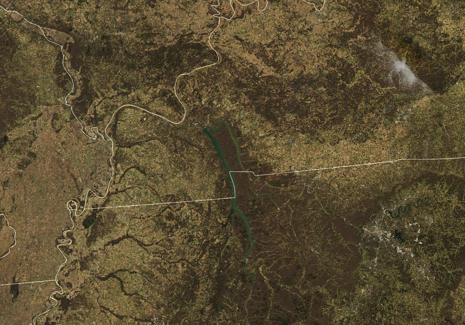
The image above is from NASA’s Aqua satellite. On December 12, 2021, the Moderate Resolution Imaging Spectroradiometer (MODIS) instrument acquired a natural-color image of the tornado track across western Kentucky near Mayfield, a town that endured some of the worst damage of the fierce storm front.
More than 100 tornado warnings were issued Friday before midnight, the most warnings ever for any day in December, according to the National Weather Service.
“No U.S. tornado is known to have killed more than 80 people outside the core tornado season from March to June, ” said meteorologist Bob Henson. He added that until last weekend, the death toll for tornadoes in the U.S. in 2021 had been only 14, the third lowest since 1875.

The satellite company Maxar has also made their high-resolution orbital views of the damage publicly available. Their before-and-after looks at the area are staggering.
NASA said that while tornadoes can occur in any time of year—with roughly a dozen every December—the event was rare for how long it lasted and how far north it occurred in meteorological winter. The storm front came from unseasonably warm and humid weather in the region, with a cool weather front approaching from the west.
The worst damage came along what may be the longest track ever for a tornadic storm (the data is still being analyzed). The NWS reported winds ranging from 158 to 206 miles (254 to 332 kilometers) per hour, damage of at least an EF-3 rating on the Enhanced Fujita (EF) scale, and a ground track that may have blown across 200 miles (300 kilometers) and spanned 0.75 miles (1.2 kilometers) at its widest.

As this article is being written, the National Weather Service is issuing warnings for another unprecedented series of winter weather events today (December 15) for the upper midwest — states like Minnesota, Iowa and Wisconsin. Unseasonably warm and humid weather combined with an approaching cold front may produce more chaotic weather. The first-ever tornado warning for Minnesota in December has been issued; rain and high winds will be followed with snow and bitterly cold weather.
Sources: NASA, Maxar, National Weather Service