
Navigating and mapping rivers has long been a central component in human exploration. Whether it was Powell exploring the Colorado’s canyons or Pizarro using the Amazon to try to find El Dorado, rivers, and our exploration of them, have been extremely important. Now, scientists have mapped out an entirely new, unique river basin. This one happens to be on an entirely different planet, and dried up billions of years ago.
Three to four billion years ago, Mars did in fact have running rivers of water. Evidence for these rivers has shown up in satellite imagery and rover samples for almost as long as we have been exploring the red planet. Since Mars has little tectonics or erosion, that evidence has remained somewhat intact until the present day.
Credit: Anton Petrov
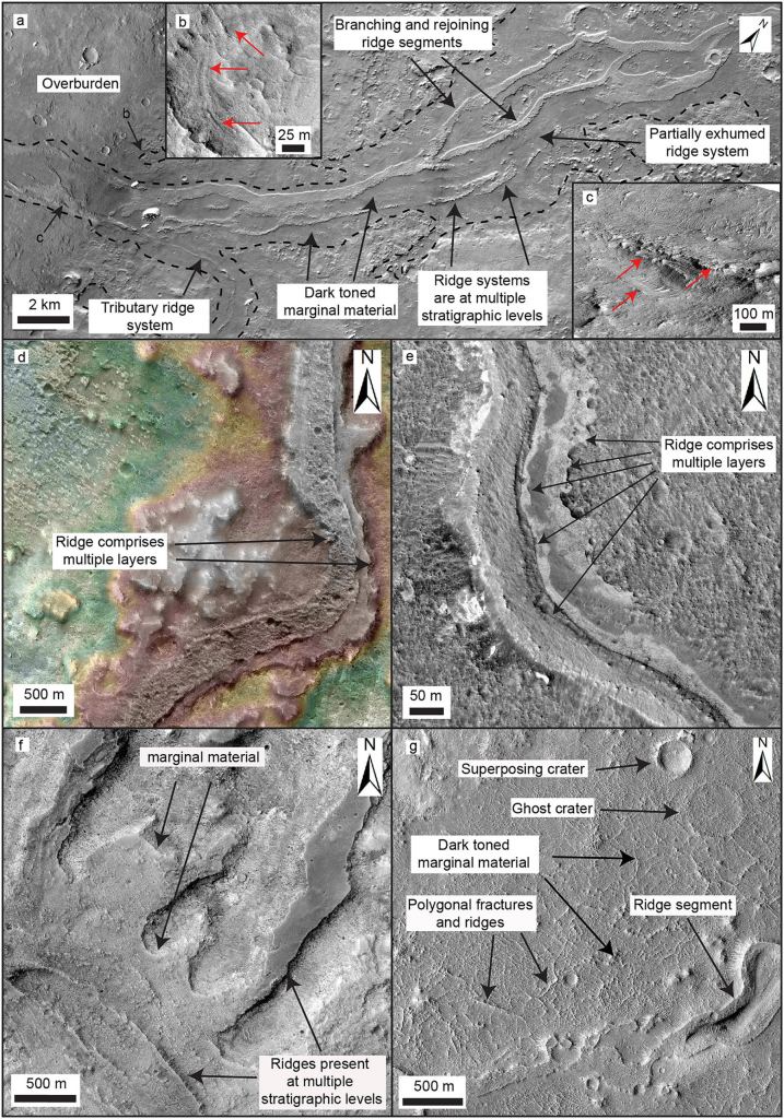
Recently, a team of scientists developed a tool to better examine those features. They managed to stitch together an 8-trillion pixel image of the entire Martian surface. Each pixel in this incredibly detailed image represents about a 5-6 square meter area. Unfortunately, it also doesn’t seem to available to the general public just year. Whether it is or not it is sure to prove useful for a variety of research projects regarding the environment of Mars. One of the first ones, which was recently published a paper in Geology was a map of the red planet’s river “ridges”.
The old dried up riverbeds on Mars are well mapped, and have been for quite some time, starting with Giovanni Schiaparelli‘s famous “canali“. However, there are other features of rivers that geologists like to study. One of the most important is the ridges described in the paper.
Credit: J.L. Dickson et all.
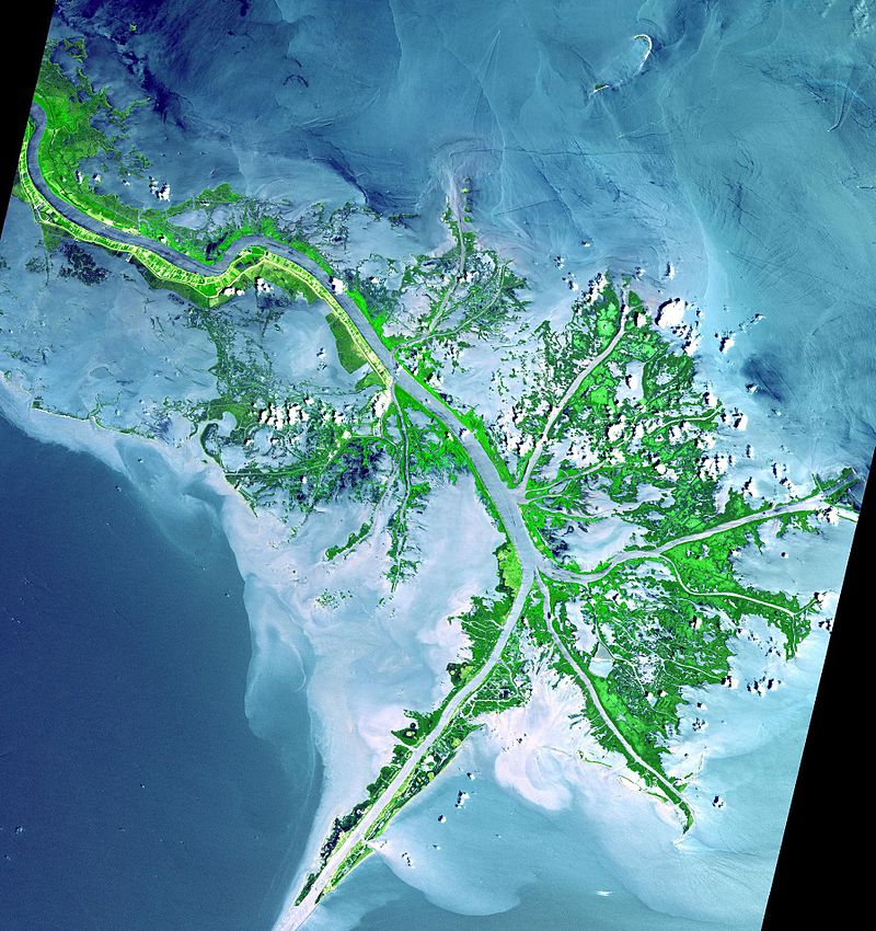
River (or “fluvial”) ridges are caused by the sediment that a river erodes away during its journey downhill. The sediment a river picks up is occasionally picked up and deposited in different spots, resulting in ridges that can grow to be significant in size. Deltas such as those of the Nile and the Mississippi are examples of this sedimentary deposition process.
Like the rivers on Earth, Mars had a similar process taking place back when it had liquid water running on its surface. In the past, scientists had tried to inventory the fluvial ridges using data from 1997-2006, but the data itself was not detailed enough to make out the sort of features needed for a full inventory.
Credit: NASA
That more detailed data has now been made available with the stitched together image of the entire Martian surface. Interestingly, only the southern hemisphere of the planet appears to have these ridges. The best explanation as to why is that the northern hemisphere has been more dramatically resurfaced in the intervening billions of years, primarily due to lava flows.
The southern hemisphere, on the other hand, is “some of the flattest surfaces in the solar system” according to Woodward Fischer, one of the paper’s authors. These flat surfaces are ideal to detect the ridges that sedimentary deposition would create. It is easier to distinguish the extra material when the surrounding area doesn’t have significantly differing heights as part of the natural geological features.
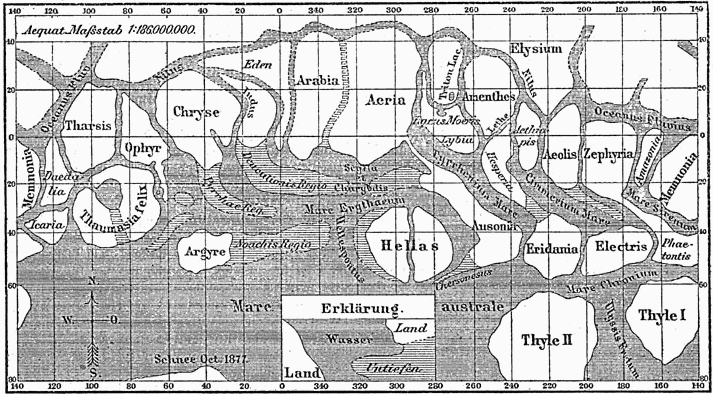
Credit : Giovanni Schiaparelli
In addition to simply being a really cool use for this new detailed map, the study is a helpful guide to the geological and environmental processes on Mars. Understanding where these ridges exist can potentially help lead future rover missions to a deposit of some interest. Any additional information that can be gleaned from these sedimentary processes would be welcomed by the geological community. It can also contribute to our increasingly high resolution understanding of the Martian surface. With that scientific goal in mind, the surveyor of the next great unexplored river system might just be a robot.
Learn More:
The Geological Society of America: Fluvial Mapping of Mars
Geology: The global distribution of depositional rivers on early Mars
American Geophysical Union: Global Map of Martian Fluvial Systems: Age and Total Eroded Volume Estimations
UT: Was This Huge River Delta on Mars the Place Where its Oceans Finally Disappeared?
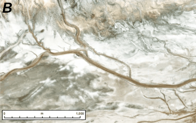
Lead Image: Example of fluvial ridges on Mars.
Credit: J.L. Dickson