Viewing orbital images of the rovers as they go about their business on the surface of Mars is pretty cool. Besides being of great interest to anyone keen on space in general, they have scientific value as well. New images from the High Resolution Imaging Science Equipment (HiRise) camera aboard the Mars Reconnaissance Orbiter (MRO) help scientists in a number of ways.
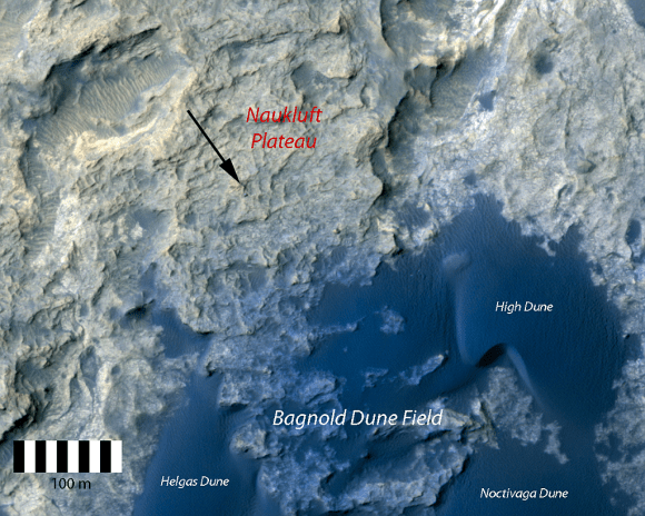
Recent images from HiRise show the Mars Science Laboratory (MSL) Curiosity on a feature called the Naukluft Plateau. The Plateau is named after a mountain range in Namibia, and is the site of Curiosity’s 10th and 11th drill targets.
Orbital imagery of the rovers is used to track the activity of sand dunes in the areas the rovers are working in. In this case, the dune field is called the Bagnold Dunes. HiRise imagery allows a detailed look at how dunes change over time, and how any tracks left by the rover are filled in with sand over time. Knowledge of this type of activity is a piece of the puzzle in understanding the Martian surface.
But the ability to take such detailed images of the Martian surface has other benefits, as well. Especially as we get nearer to a human presence on Mars.
Orbital imaging is turning exploration on its ear. Throughout human history, exploration required explorers travelling by land and sea to reconnoiter an area, and to draw maps and charts later. We literally had no idea what was around the corner, over the mountain, or across the sea until someone went there. There was no way to choose a location for a settlement until we had walked the ground.
From the serious (SpaceX, NASA) to the fanciful (MarsOne), a human mission to Mars, and an eventual established presence on Mars, is a coming fact. The how and the where are all connected in this venture, and orbital images will be a huge part of choosing where.
Tracking the changes in dunes over time will help inform the choice for human landing sites on Mars. The types and density of sand particles may be determined by monitoring rover tracks as they fill with sand. This may be invaluable information when it comes to designing the types of facilities used on Mars. Critical infrastructure in the form of greenhouses or solar arrays will need to be placed very carefully.
Sci-Fi writers have exaggerated the strength of sand storms on Mars to great effect, but they are real. We know from orbital monitoring, and from rovers, that Martian sandstorms can be very powerful phenomena. Of course, a 100 km/h wind on Earth is much more dangerous than on Mars because of the density of the atmosphere. Martian air is 1% the density of Earth’s, so on Mars the 100 km/h wind wouldn’t do much.
But it can pick up dust, and that dust can foul important equipment. With all this in mind, we can see how these orbital images give us an important understanding of how sand behaves on Mars.
There’s an unpredictability factor to all this too. We can’t always know in advance how important or valuable orbital imagery will be in the future. That’s part of doing science.
But back to the cool factor.
For the rest of us, who aren’t scientists, it’s just plain cool to be able to watch the rovers from above.
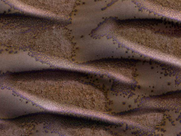
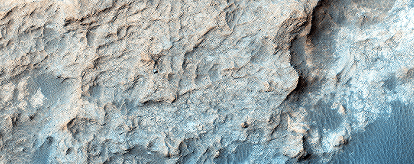
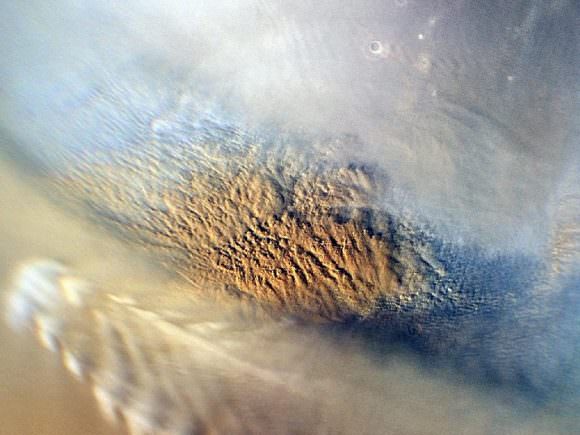
And, look at all the Martian eye candy!