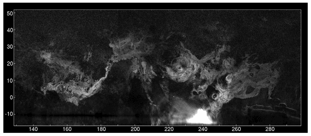
A radar map of Mars’ major volcanic regions created by the Arecibo Observatory in Puerto Rico (John Harmon et al., NAIC)
Even though we currently have several missions exploring Mars both from orbit and on the ground, there’s no reason that robots should be having all the fun; recently a team of radio astronomers aimed the enormous 305-meter dish at Puerto Rico’s Arecibo Observatory at Mars, creating radar maps of the Red Planet’s volcanic regions and capturing a surprising level of detail for Earth-based observations.
The team, led by John Harmon of the National Astronomy and Ionosphere Center, bounced radar waves off Mars from Arecibo’s incredibly-sensitive dish, targeting the volcanic Tharsis, Elysium, and Amazonis regions. Depolarized radar imagery best reveals surface textures; the rougher and less uniform a surface is, the brighter it appears to radar while smooth, flat surfaces appear dark.
What the radar maps portray are very bright — and therefore rough — areas on most of the major volcanoes, although some regions do appear dark, such as the summit of Pavonis Mons.
 This likely indicates a covering by smoother, softer material, such as dust or soil. This is actually in line with previous observations of the summit of Pavonis Mons made with the HiRISE camera aboard NASA’s Mars Reconnaissance Orbiter, which showed the summit to appear curiously soft-edged and “out-of-focus”, creating a blurry optical illusion of sorts.
It’s thought that the effect is the result of the build-up of dust over millennia, carried across the planet by dust storms but remaining in place once settled because the Martian wind is just so extremely thin — especially at higher altitudes.
The team also found bright areas located away from the volcanoes, indicating rough flows elsewhere, while some smaller volcanoes appeared entirely dark — again, indicating a possible coating of smooth material like dust or solidified lava flows.
The resolution of the radar maps corresponds to the wavelength of the signals emitted from Arecibo; the 12.6 centimeter signal allows for surface resolution of Mars of about 3 km.
The team’s paper was published in the journal Icarus on July 25. Read more on the Red Planet Report here.

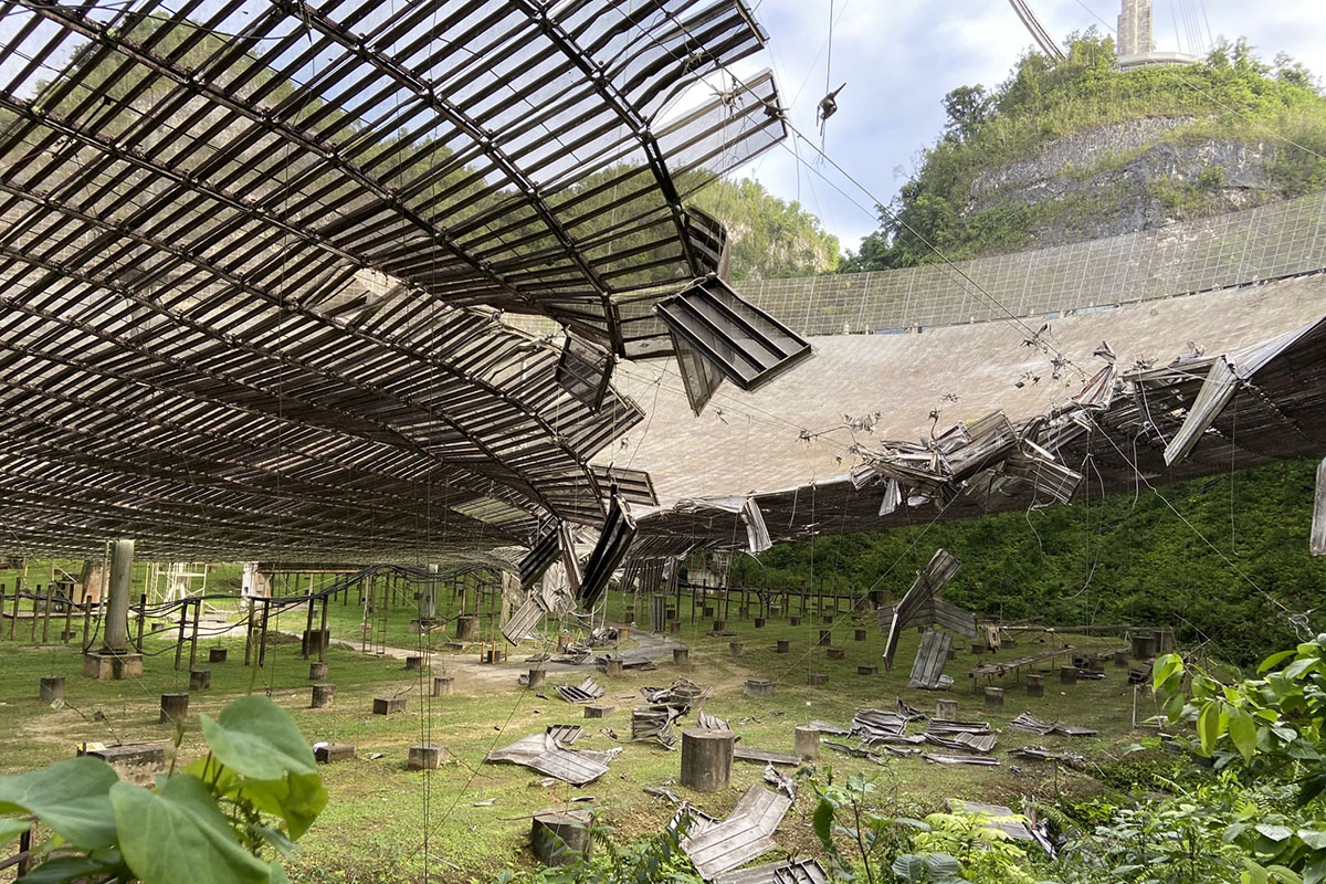
The iconic 305-meter radar telescope at Arecibo Observatory in Puerto Rico