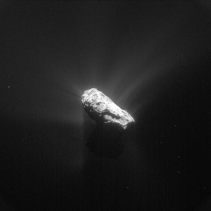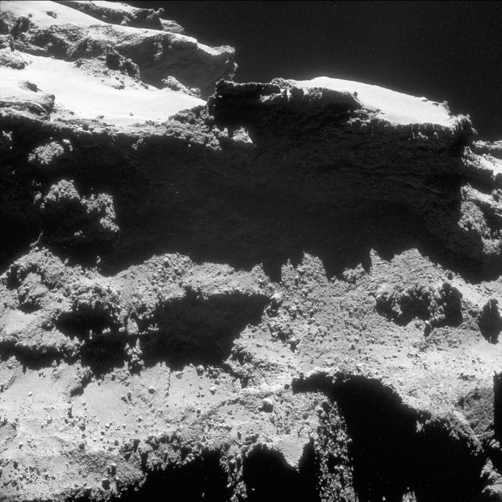
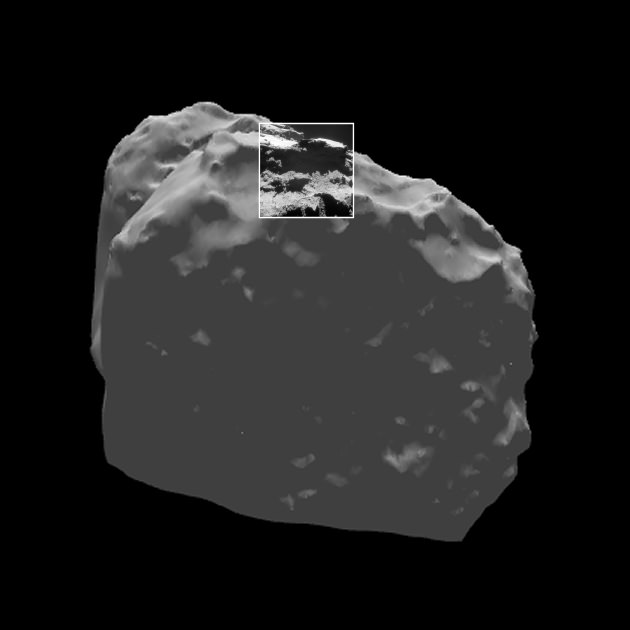
The latest image to be revealed of comet 67P/Churyumov-Gerasimenko comes from October 27, 2014, before the Philae lander even departed for its surface. Above we get a view of a dramatically-shadowed cliff separating two regions on 67P, the high, smooth plateaus of Babi and the boulder-strewn, slumped valley of Aten. Both are located on the larger lobe of the comet, while parts of the Ma’at region on the smaller “head” lobe can be seen in the distance at upper left. (You can see a regional map of comet 67P here.)
The image scale is about 75 cm (2.4 feet) per pixel and the entire image spans 770 meters across – about half a mile. Based on that, the cliff is easily over 190 meters (630 feet) high!
It’s thought that the morphological differences in the Babi and Aten regions – in both texture and altitude – are the result of a massive loss of material from Aten at some point in the comet’s history. According to the entry on the Rosetta blog, the entire volume of the Aten “scoop” is equivalent to about 50 Great Pyramids of Giza… a fitting analogy considering the choice to name features on 67P with an ancient Egyptian theme.
See Comet 67P’s Enormous “Cheops” Boulder
The image above is one of a slew of NavCam images that will be released at the end of the month on ESA’s Archive Browser, captured by Rosetta after establishing orbit around 67P.
Source: ESA’s Rosetta blog