[/caption]
Mars Exploration Rover Spirit is acting a little strange. Over the Easter weekend, it would appear that the tenacious little Mars explorer rebooted its computer not once, but at least two times. Mission scientists were alerted to the problem as some of the communication sessions from Spirit-to-Earth were irregular, prompting mission control to investigate the problem…
“While we don’t have an explanation yet, we do know that Spirit’s batteries are charged, the solar arrays are producing energy and temperatures are well within allowable ranges. We have time to respond carefully and investigate this thoroughly,” said John Callas project manager for Spirit at NASA’s Jet Propulsion Laboratory. “The rover is in a stable operations state called automode and taking care of itself. It could stay in this stable mode for some time if necessary while we diagnose the problem.”
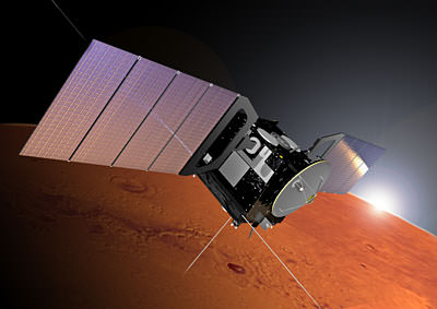
Although Spirit successfully communicated with Earth on Friday, Saturday and Sunday, some of the communication sessions were irregular, suggesting that the rover’s computer was resetting during the use of the high-gain dish antenna. The twin rovers, Spirit and Opportunity, have several modes of communication open to them, including a pointable high-gain antenna, non-pointable low-gain antenna and a separate UHF transceiver that uses the Mars satellites as relays.
It seems possible that the issue could be software-based, as new software was uploaded only last month. However, this is a routine upload and Opportunity received identical commands and has not suffered from anomalous reboots. Playing it safe, mission operators are not using the high-gain antenna and have opted for using the slower, low-gain antenna while the investigation into the fault is ongoing. Unfortunately, the thought on everyone’s mind is that the rover may be suffering from age-related problems; after all, the MER mission was originally slated for three months, not five years.
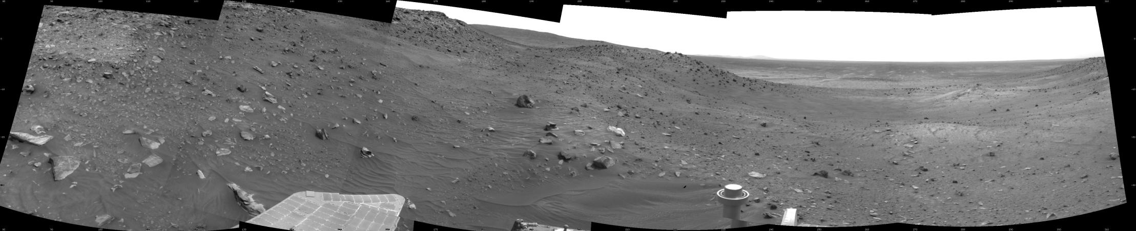
Although there is concern for Spirit, it is hoped that the weekend’s reboot isn’t a sign of bigger problems. The rover may have had a rough mission (one of its wheels stopped moving three years ago, and it has since been dragged everywhere it has trundled), but the science it is producing has been astounding. Hopefully Spirit will fight through this latest glitch and continue to do battle in the Martian regolith for a while yet…
Source: NASA


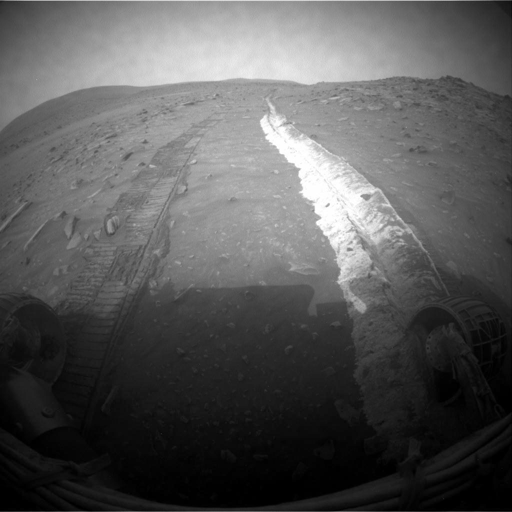
 Credit: NASA, JPL, U of AZ")