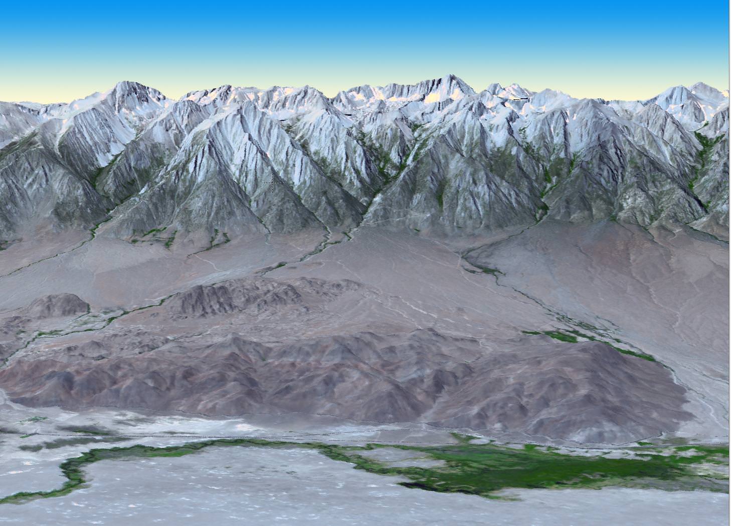
Best-Ever Topographic Map of Earth from NASA and Japan
[/caption]NASA and Japan recently announced a new and improved digital topographic map of Earth, which was produced with detailed measurements from NASA’s Terra spacecraft. The new data covers over 99 percent of Earth’s landmass and spans from 83 degrees north latitude to 83 degrees south. Each elevation measurement point in the data is only 30 … Continue reading "Best-Ever Topographic Map of Earth from NASA and Japan"
Ray Sanders