
Using data from the Mars Reconnaissance Orbiter (MRO), planetary scientists have created one of the most unique and detailed maps of Mars ever. But fair warning, the biggest version of this is a could overload your computer.
Global CTX Mosaic of Mars is the highest-resolution global image of the Red Planet ever created and it even allows you see Mars in 3D.

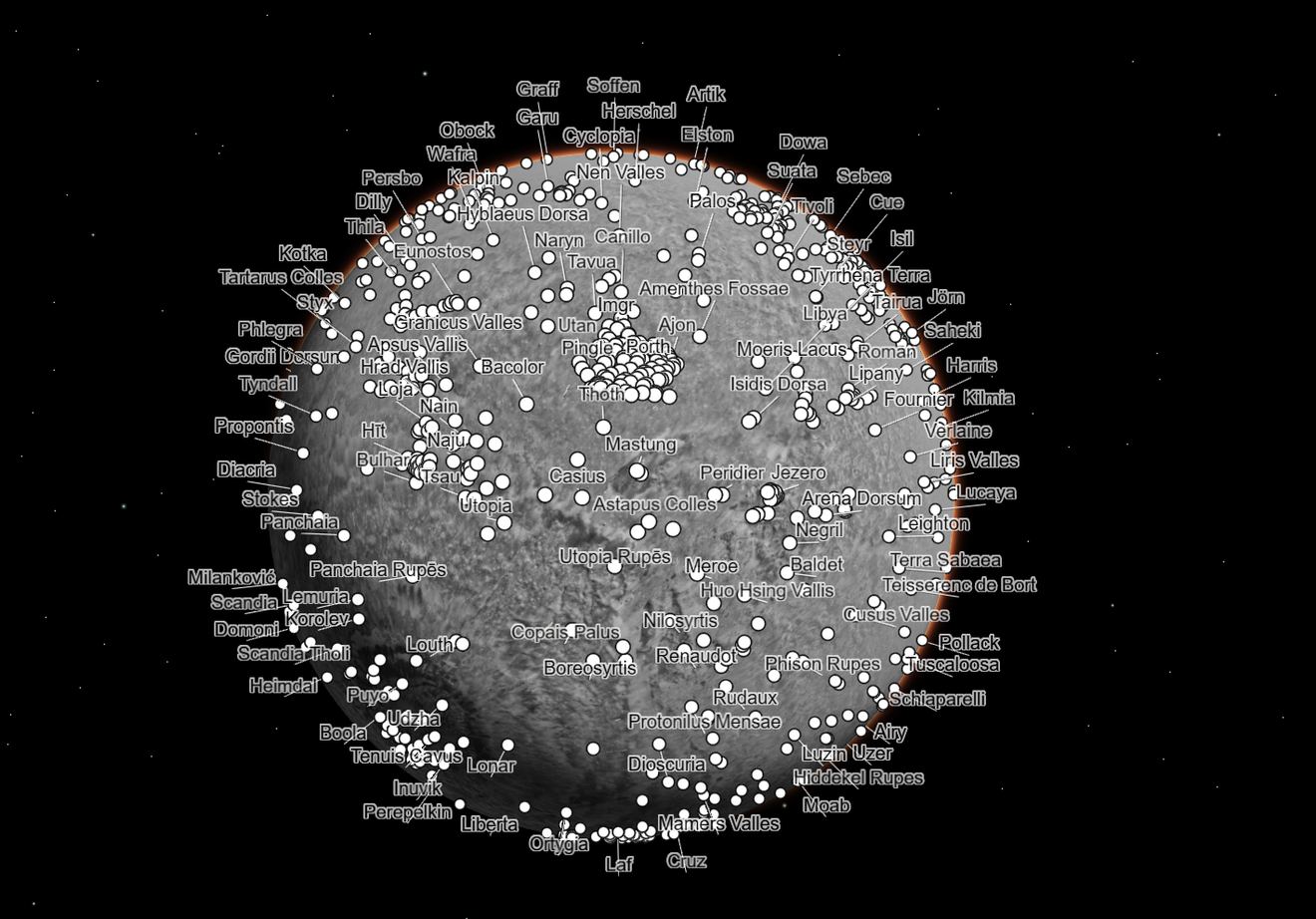
The map is made of 110,000 images from MRO’s Context Camera (CTX). Stitched together, the map covers almost 270 square feet (25 square meters) of surface *per pixel,* meaning they have developed a mosaic with 5.7 trillion pixels. If you printed it out, it would cover 25 square meters – which is about the size of the Rose Bowl Stadium in Pasadena, California, just down the street from the Jet Propulsion Laboratory and Caltech, where the new map was generated.
The interactive version lets you zoom in and out from the surface of Mars, revealing ancient river channels, volcanic shield mountains, giant impact craters, and endless dusty dune-covered rocky landscapes. You’ll be lost in it for hours, and you can even trace the journey of rovers across the Red Planet’s surface.

The mosaic took six years and tens of thousands of hours to develop. It is so detailed that more than 120 peer-reviewed science papers have already cited a beta version. It was created at Caltech’s Bruce Murray Laboratory for Planetary Visualization, and the developers say the mosaic is also easy enough for anyone to use.
“I wanted something that would be accessible to everyone,” said Jay Dickson, the image processing scientist who led the project and manages the Murray Lab. “Schoolchildren can use this now. My mother, who just turned 78, can use this now. The goal is to lower the barriers for people who are interested in exploring Mars.”
While we’ve written many articles about another camera on MRO, HiRISE (the High-Resolution Imaging Science Experiment) the CTX, or context imager has had a lower profile for the MRO mission. However, it provides a 6 meter per pixel resolution, better than any other previous camera (except for HiRISE) and over the 17 years of MRO’s time in Mars’ orbit, CTX has imaged nearly all of Mars’ surface, allowing science teams to create detailed maps of Mars.
“For 17 years, MRO has been revealing Mars to us as no one had seen it before,” said the mission’s project scientist, Rich Zurek of JPL. “This mosaic is a wonderful new way to explore some of the imagery that we’ve collected.”

While HiRISE imagery provides detailed closeups of Mars, CTX captures wide-area images to provide context for the high resolution images. CTX’s image are in black and white, but with its wide area of coverage, that allows this map to be the highest-resolution global image of the Mars as yet ever created.
JPL said that to create the new mosaic, Dickson developed an algorithm to match images based on the features they captured. He manually stitched together the remaining 13,000 images that the algorithm couldn’t match. The remaining gaps in the mosaic represent parts of Mars that hadn’t been imaged by CTX by the time Dickson started working on this project, or areas obscured by clouds or dust.
Laura Kerber, a Mars scientist at JPL, provided feedback on the new mosaic as it took shape. “I’ve wanted something like this for a long time,” Kerber said. “It’s both a beautiful product of art and also useful for science.”
MRO launched in 2005. Back in 2016 when I interviewed Zurek for my book “Incredible Stories From Space: A Behind-the-Scenes Look at the Missions Changing Our View of the Cosmos,” he told me the science and data teams from MRO were reaping the benefits of a such a long-duration mission. Now, 17 years in, its even more true.
“There is value in long-term records,” he said, “and MRO has been a good friend to us for a long time.”
Check out the Global CTX Mosaic of Mars here.